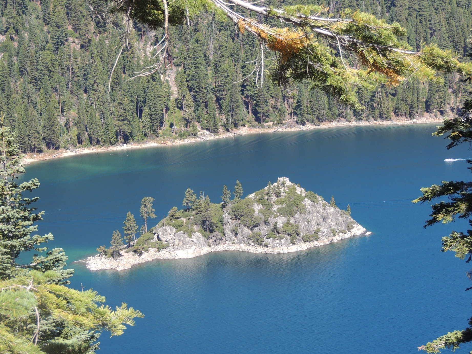
Fannette Island in Emerald Bay st Lake Tahoe (1/100)
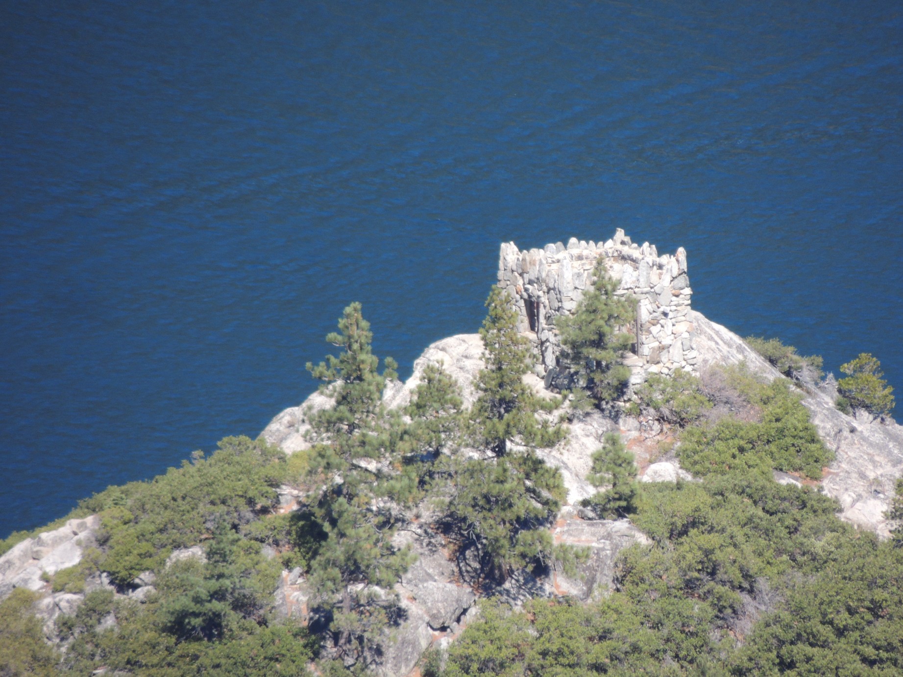
The "Tea House" on Fannette Island (2/100)
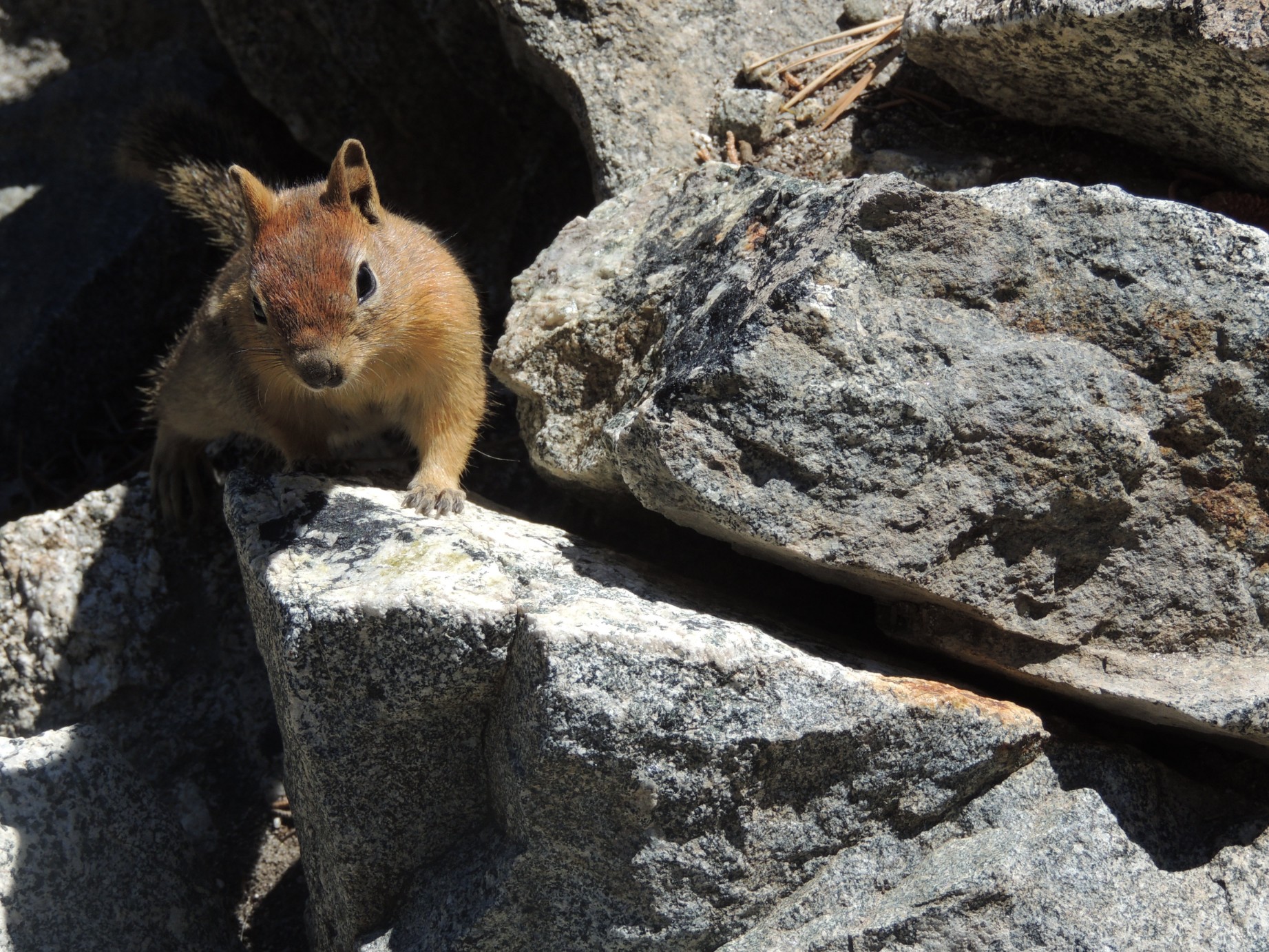
A Golden Mantled Ground Squirrel along the rocks at Lake Tahoe (3/100)
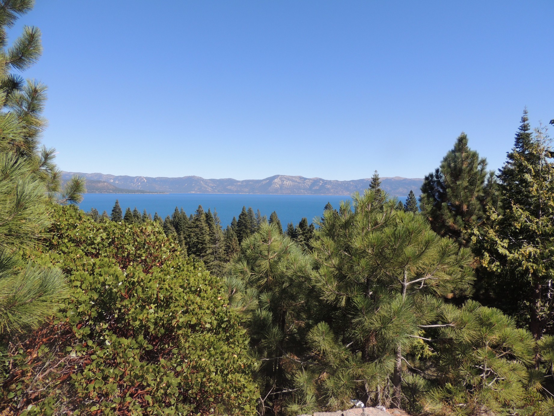
A view of Lake Tahoe (4/100)
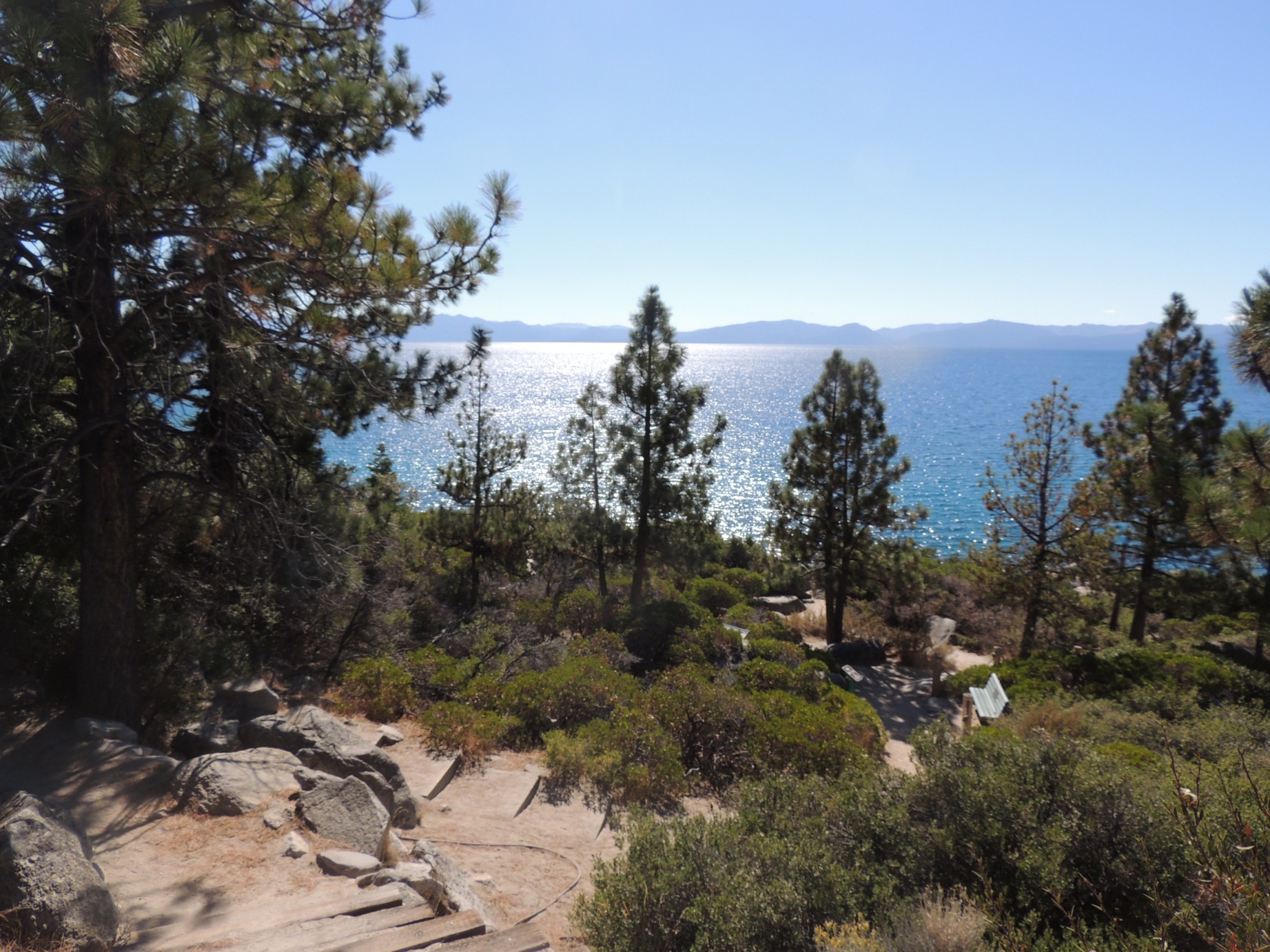
A view of Lake Tahoe (5/100)
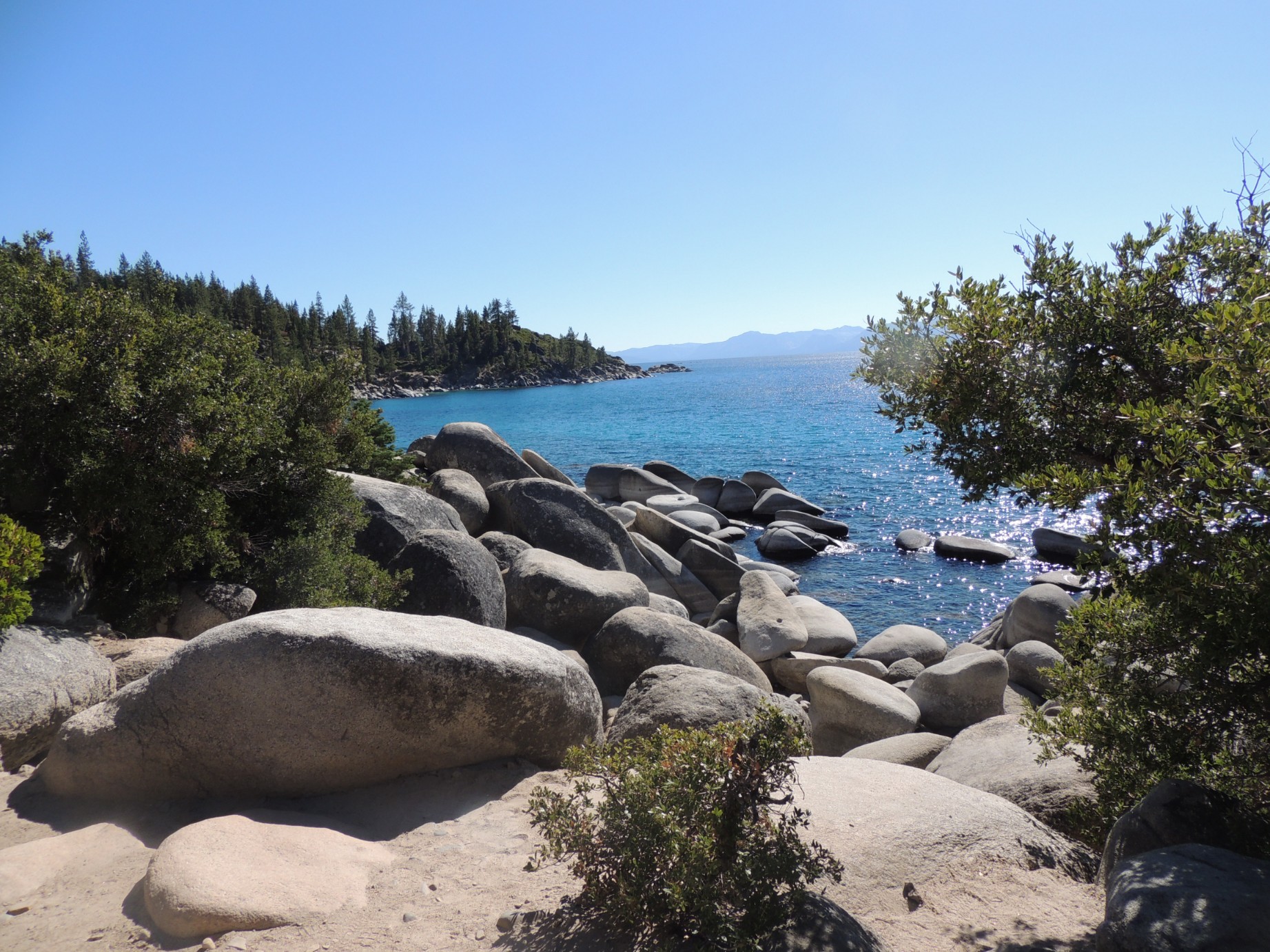
Large rocks at Sand Harbor, Lake Tahoe, Nevada (6/100)
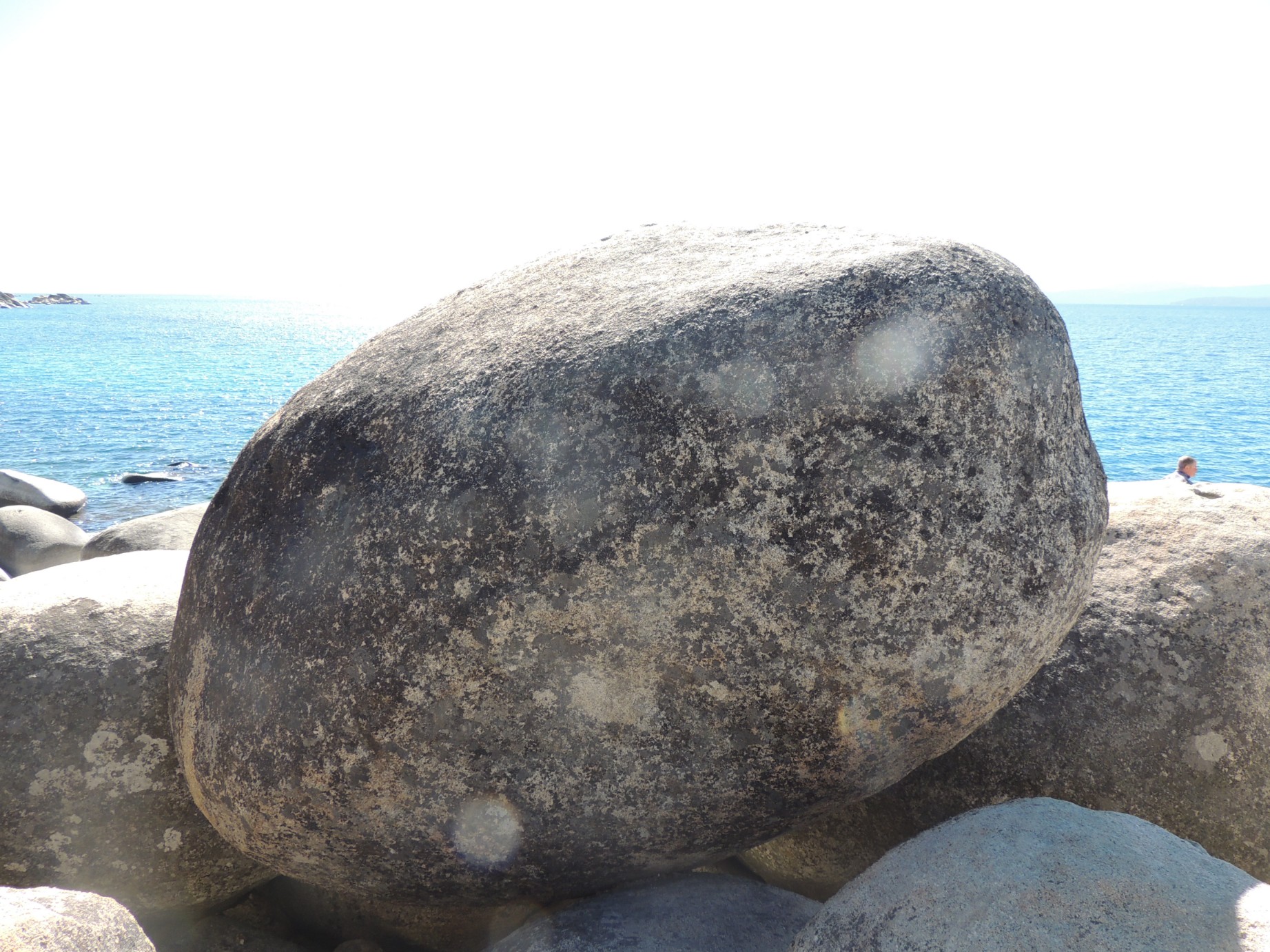
Large rocks at Sand Harbor, Lake Tahoe, Nevada (7/100)
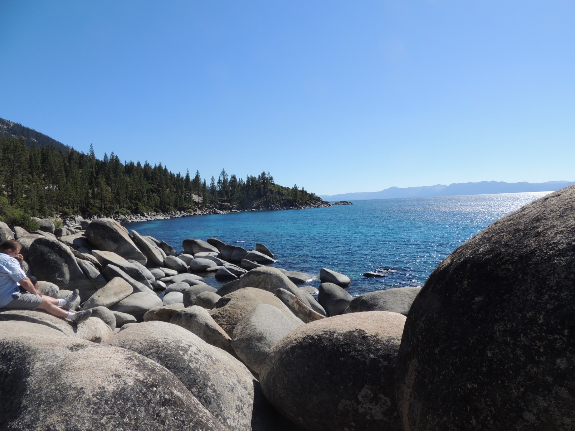
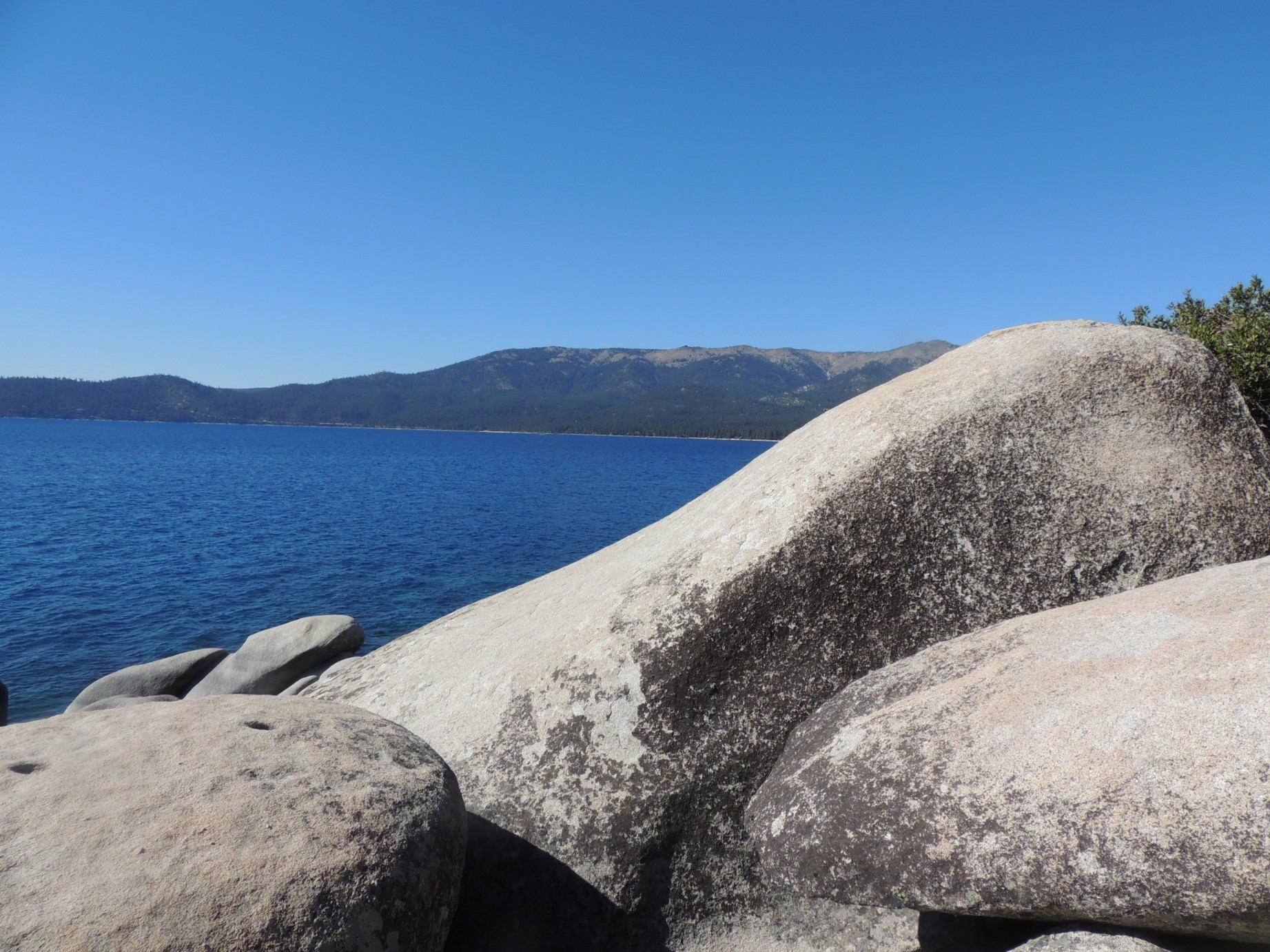
Large rocks at Sand Harbor, Lake Tahoe, Nevada (8/100)
Large rocks at Sand Harbor, Lake Tahoe, Nevada (9/100)

A view of Lake Tahoe (10/100)

A giant pine cone (11/100)
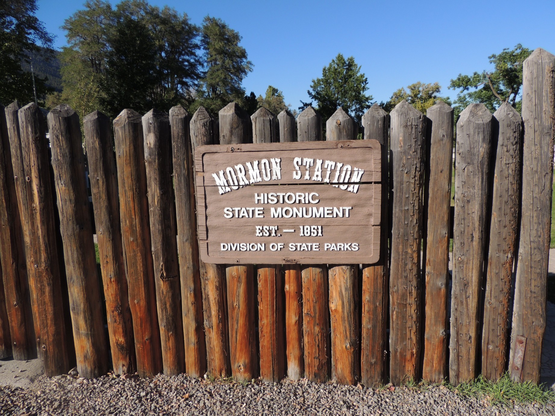
The entrance to Mormon Station State Historic Park at Genoa, Nevada (12/100)
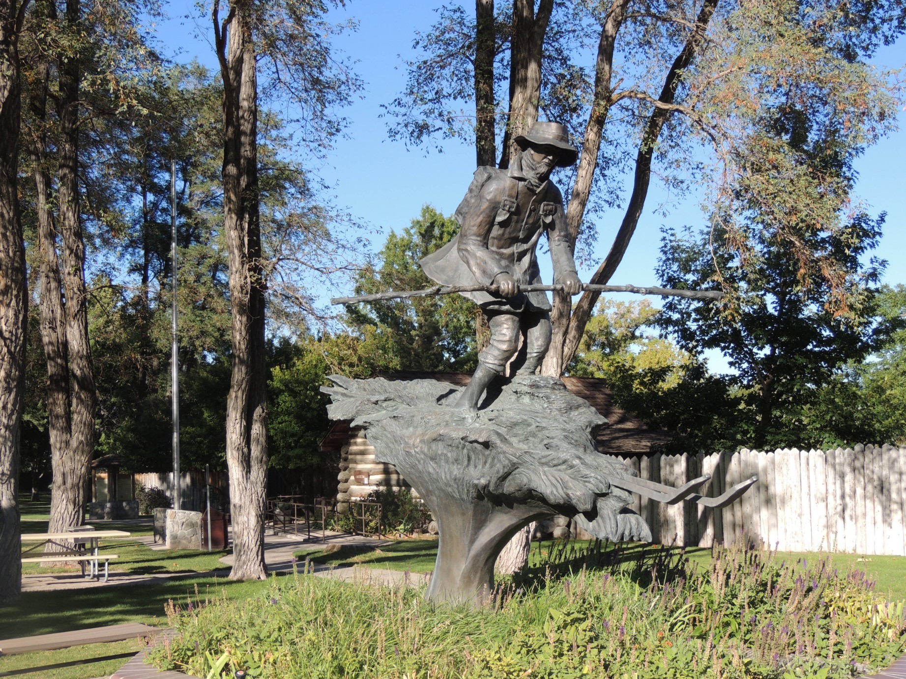
A statue at the Mormon Station State Historic Park (13/100)
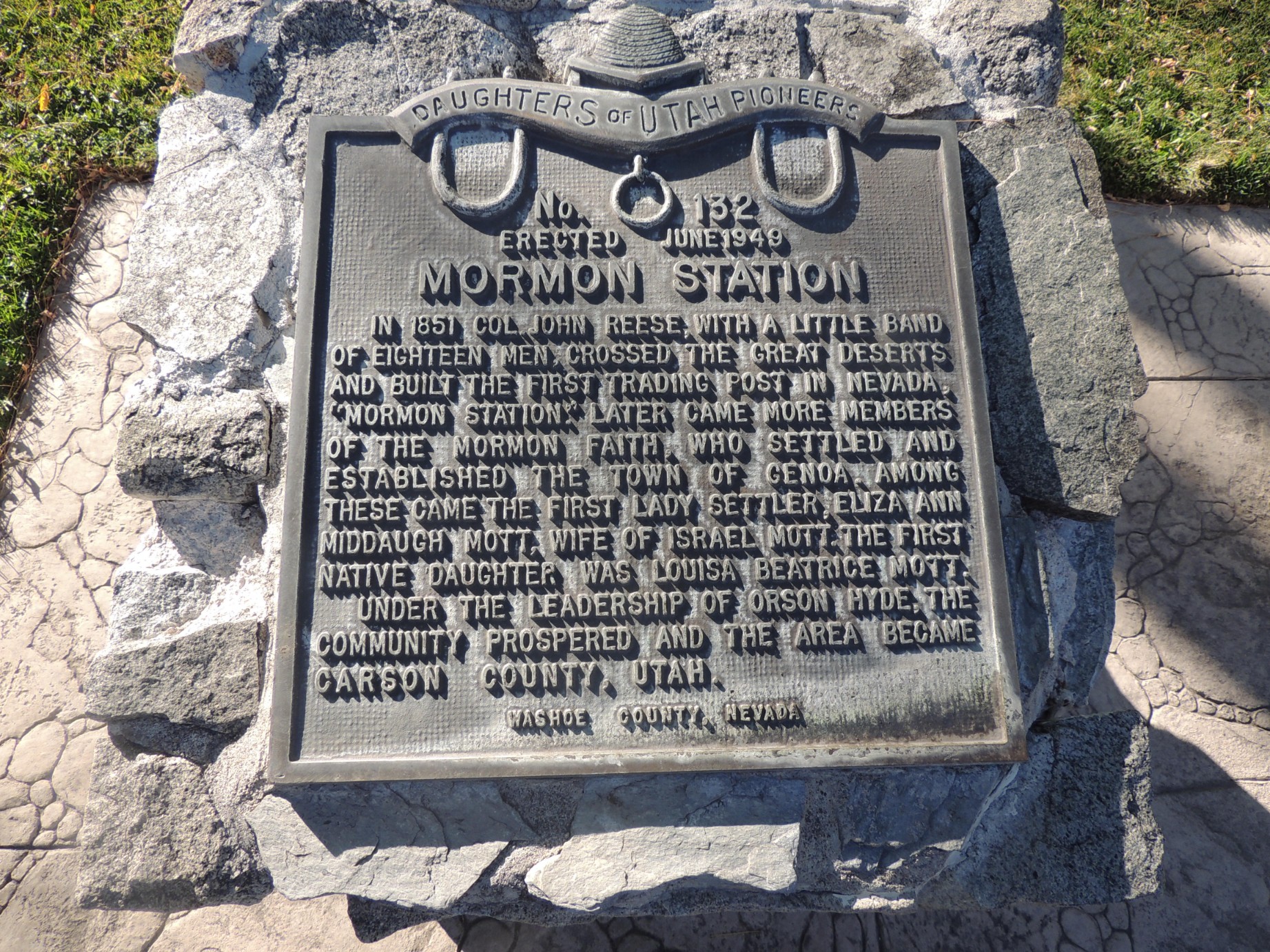
A plaque at the Mormon Station State Historic Park (14/100)
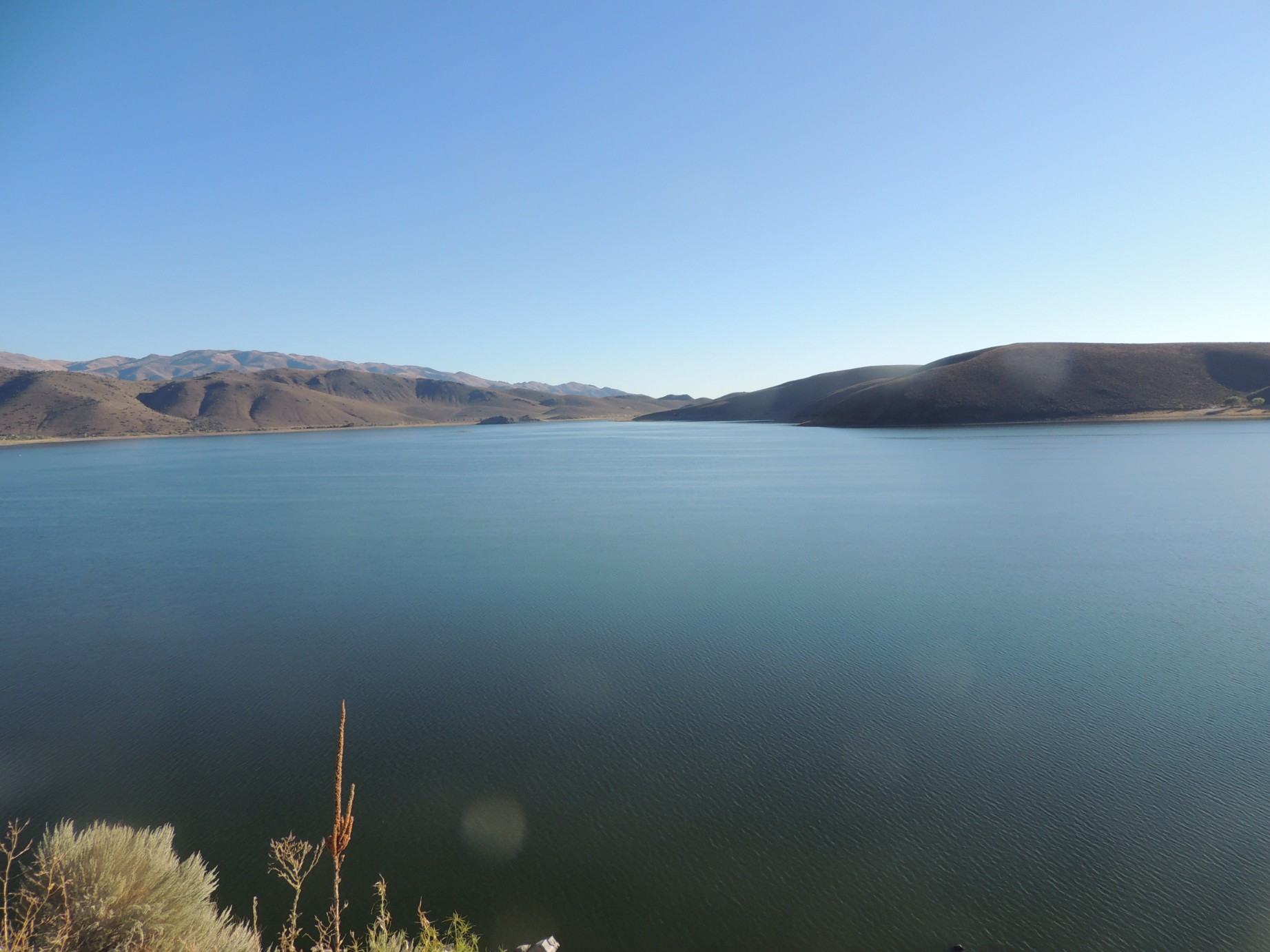
Topaz Lake, California (15/100)
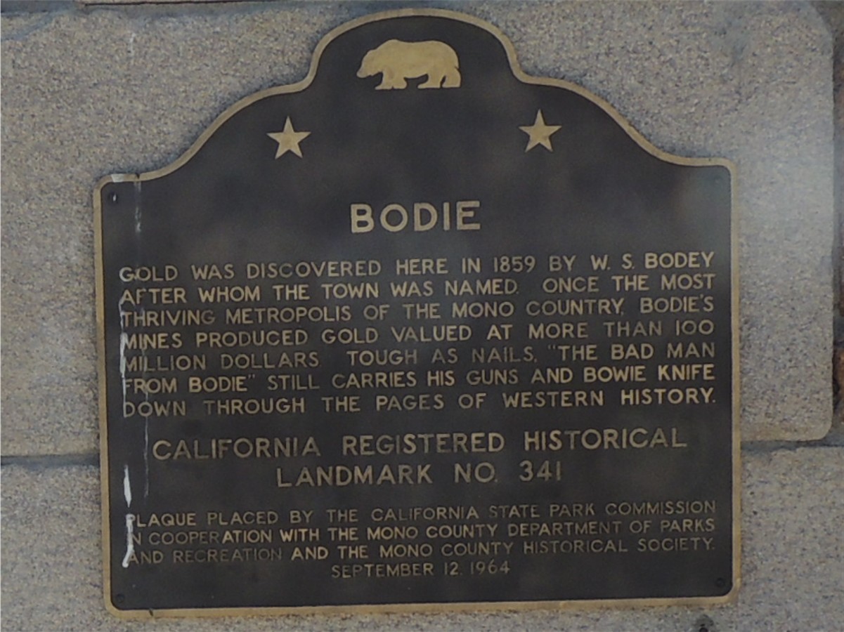
A plaque marking the entrance to the ghost town of Bodie, California (16/100)
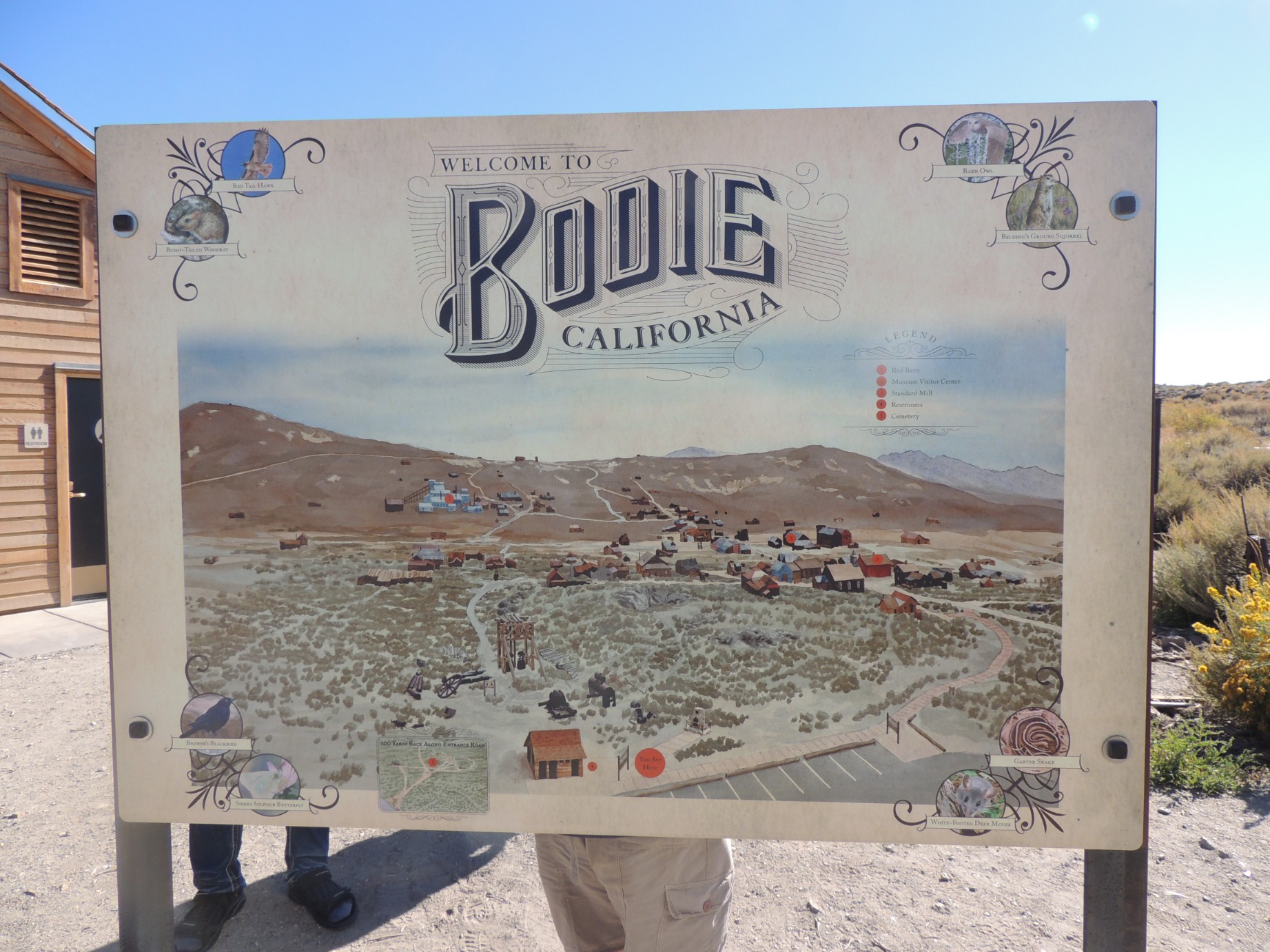
The map of Bodie, California (17/100)
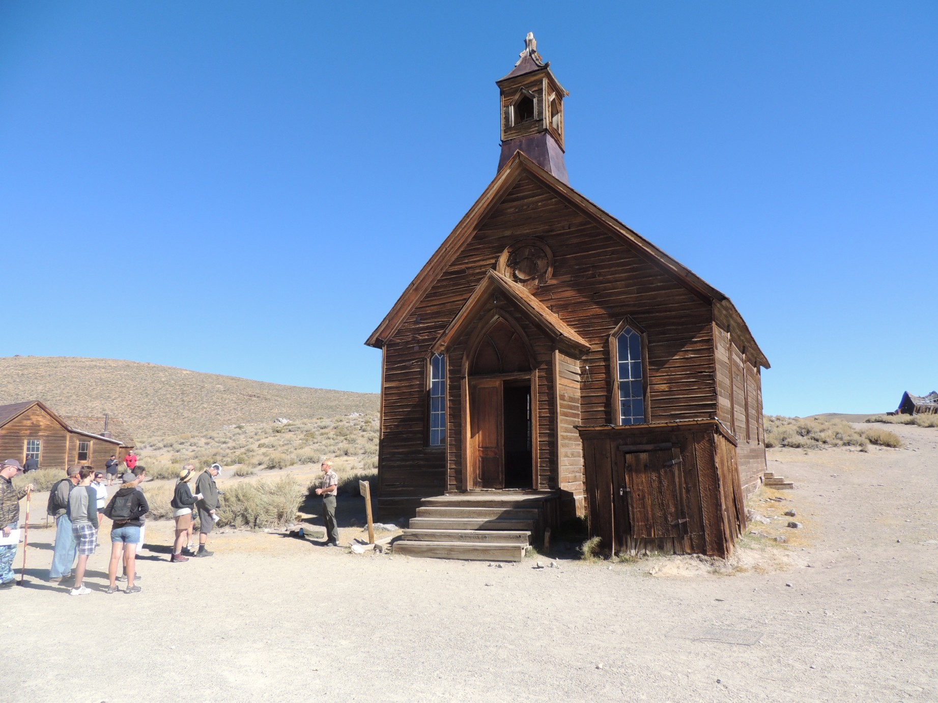
The Methodist Church at Bodie, California (18/100)
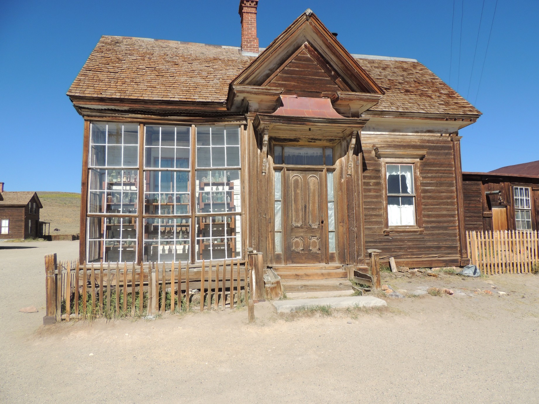
The home of a prominent former resident of Bodie, California (19/100)
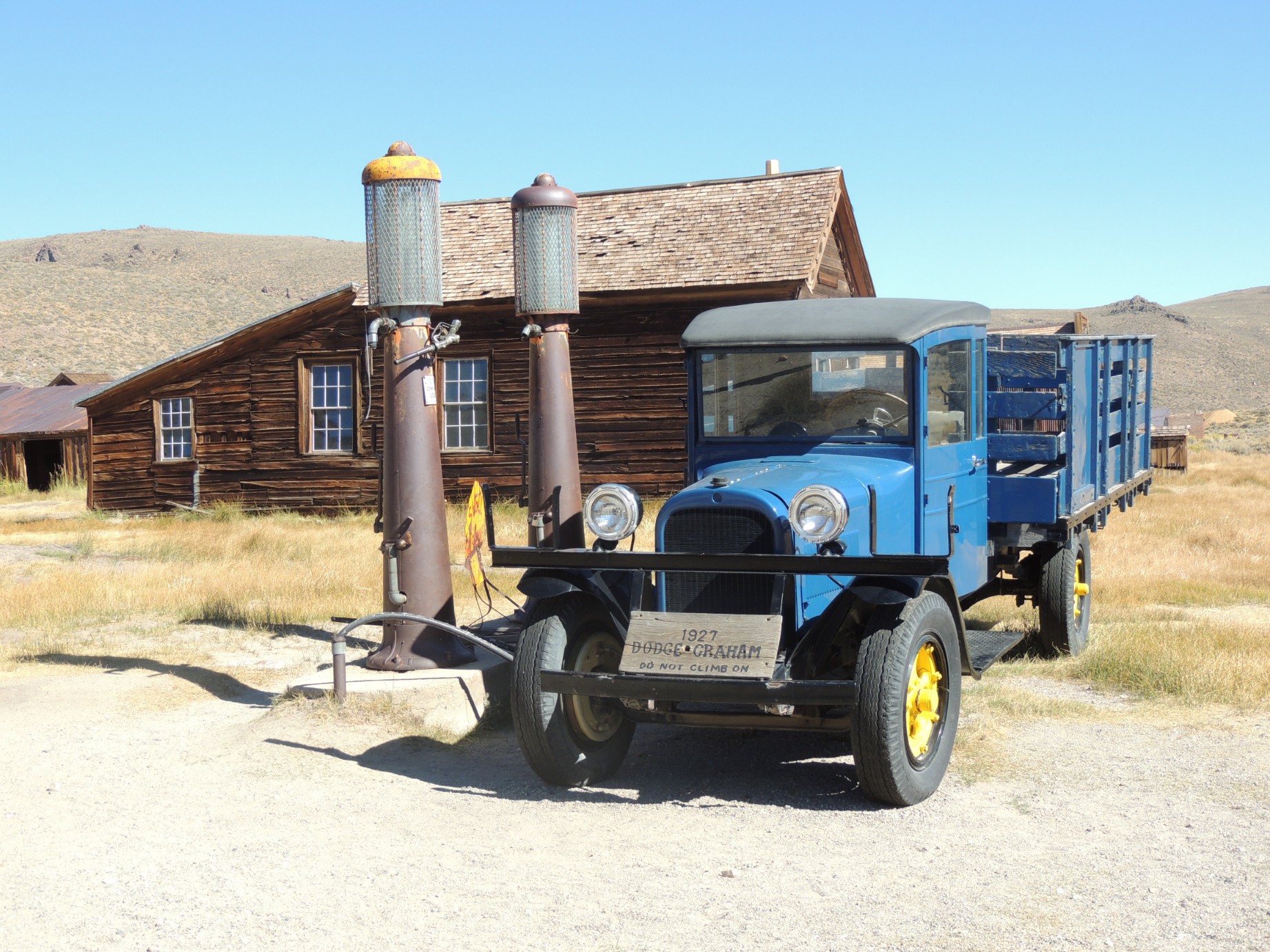
A 1927 Dodge Graham at the pump in Bodie, California (20/100)
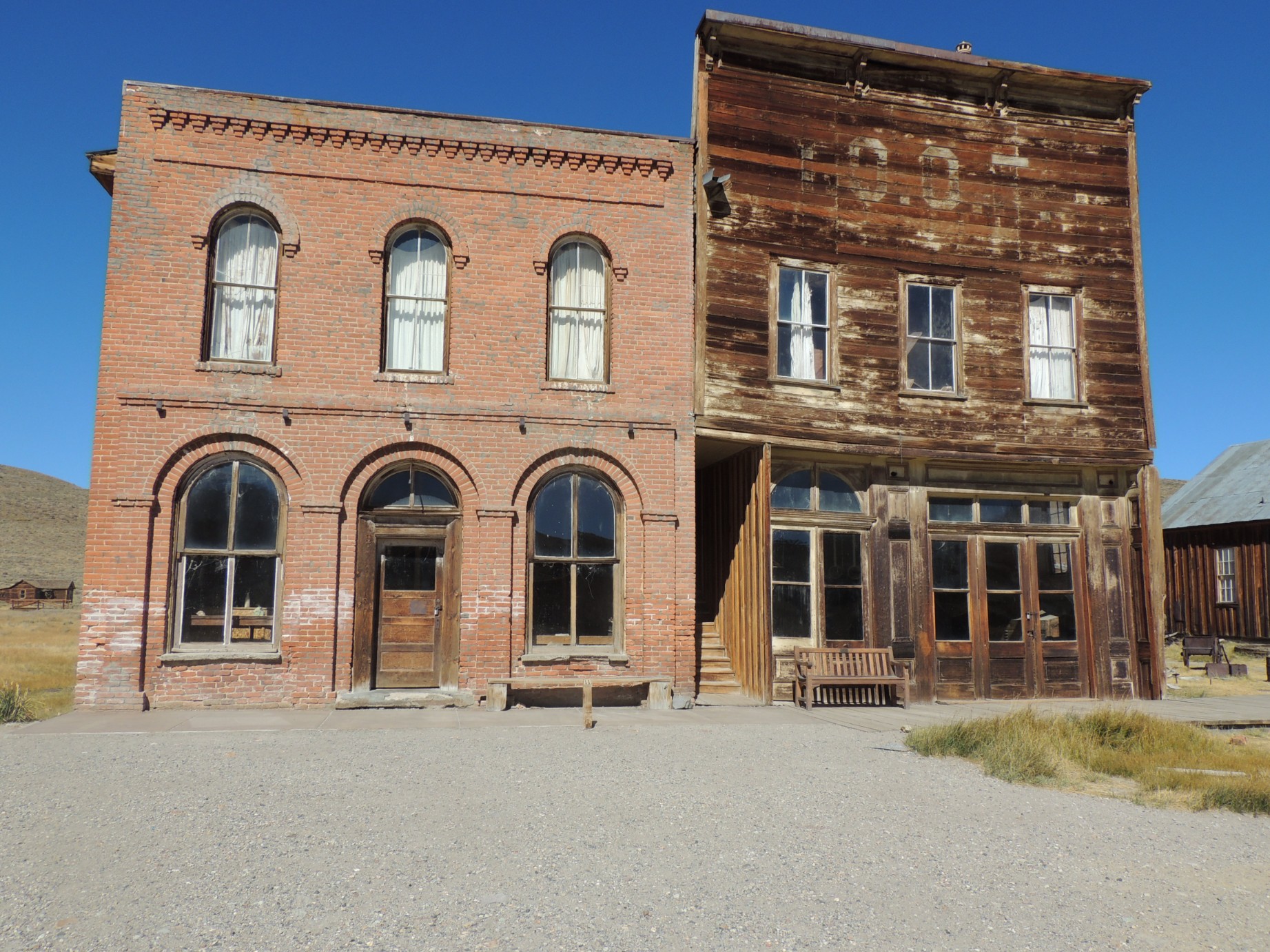
The former shopping district of Bodie, California (21/100)
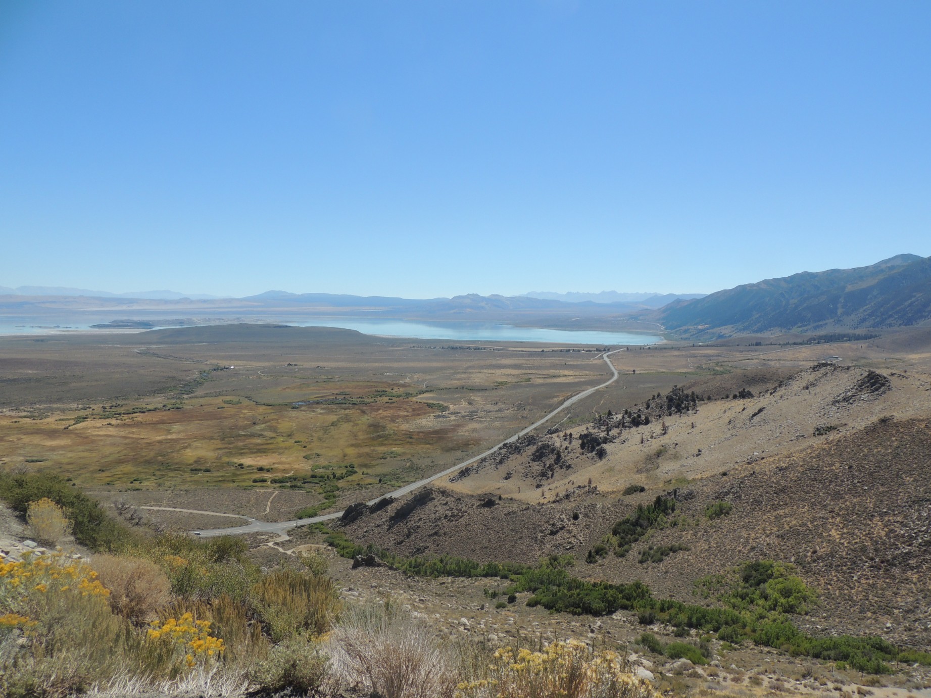
Mono Lake, California (22/100)
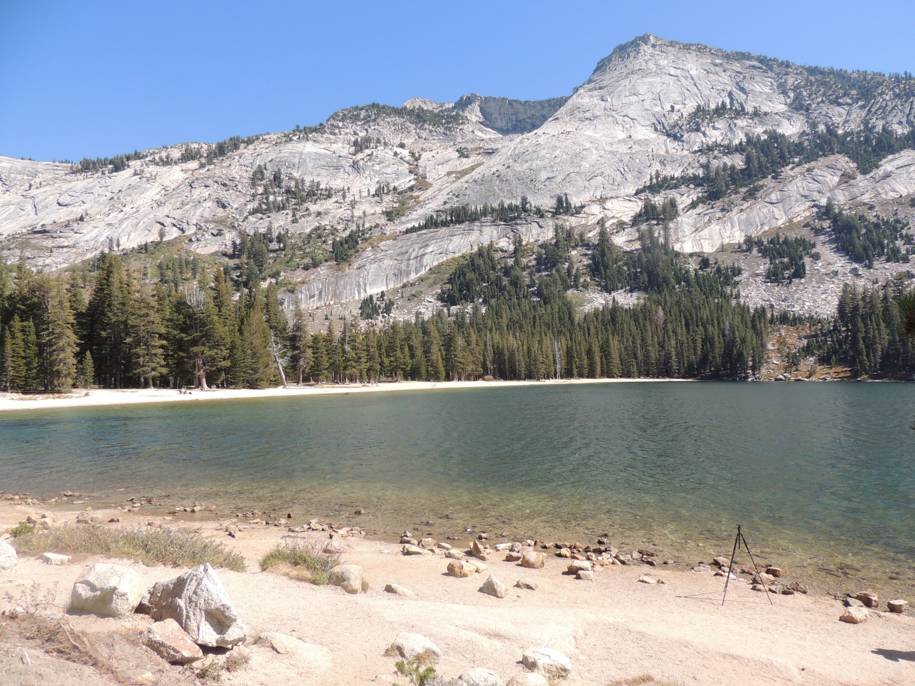
Tanaya Lake, Yosemite National Park (23/100)
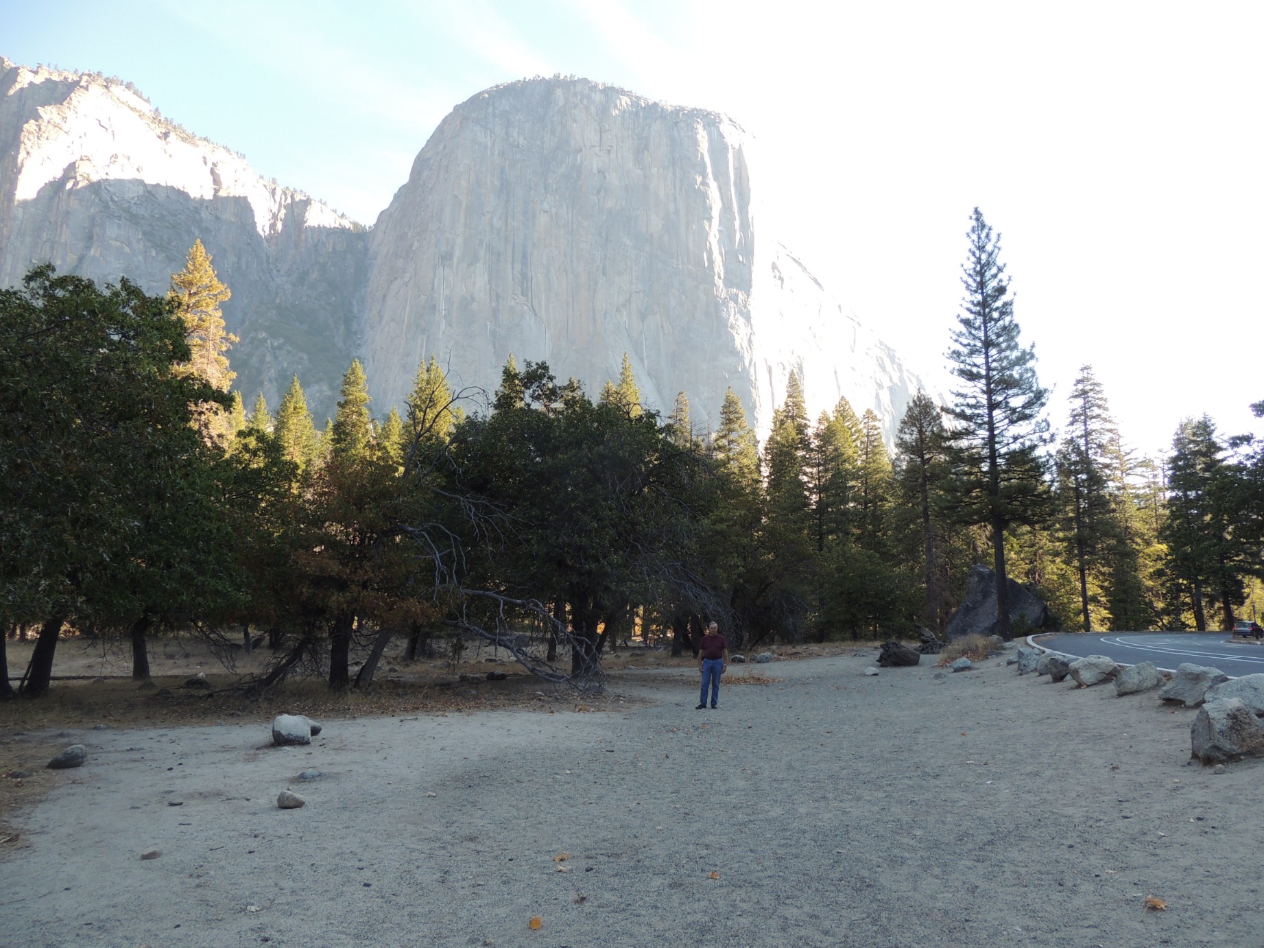
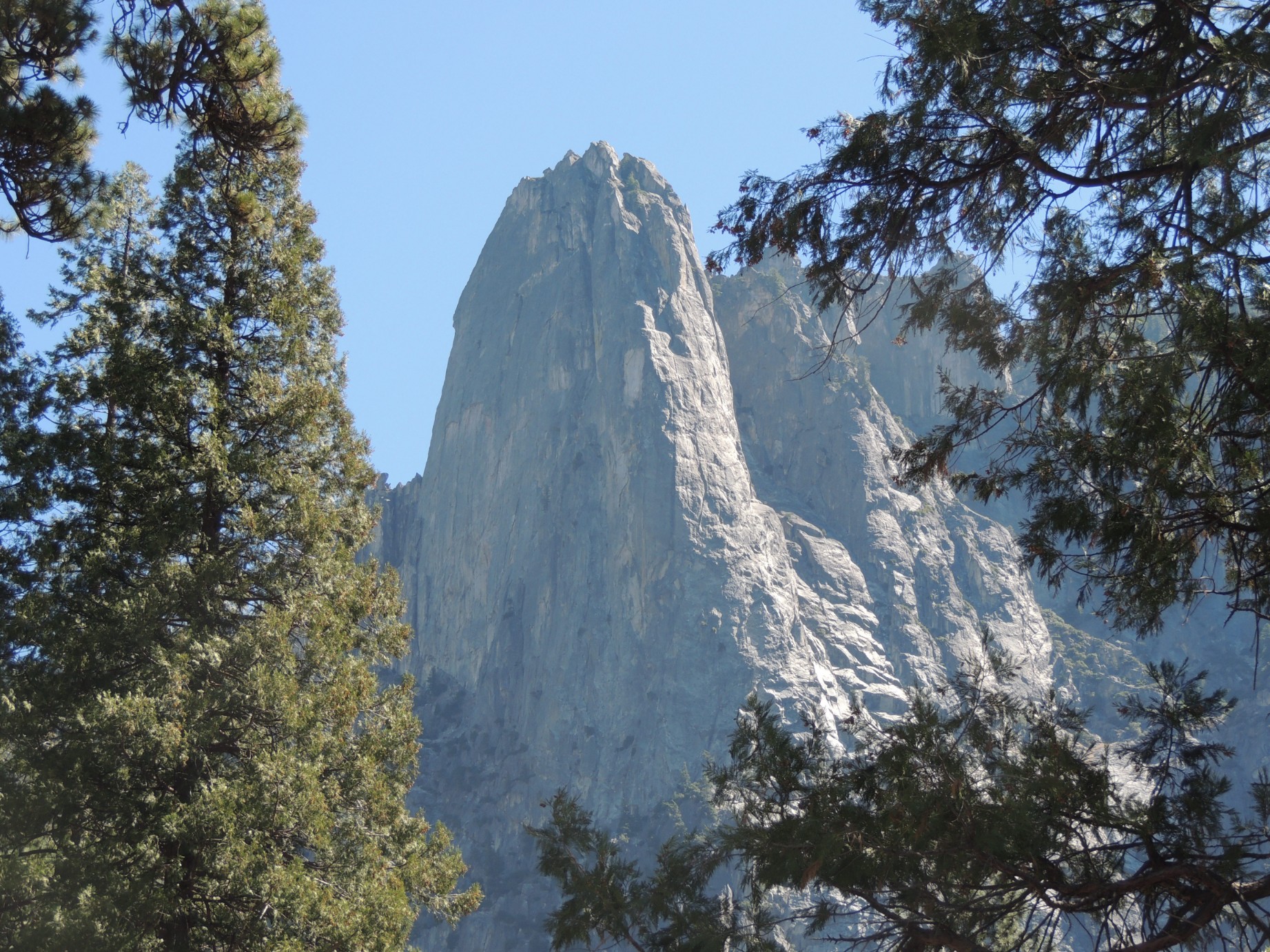
El Capitan, Yosemite National Park (24/100)
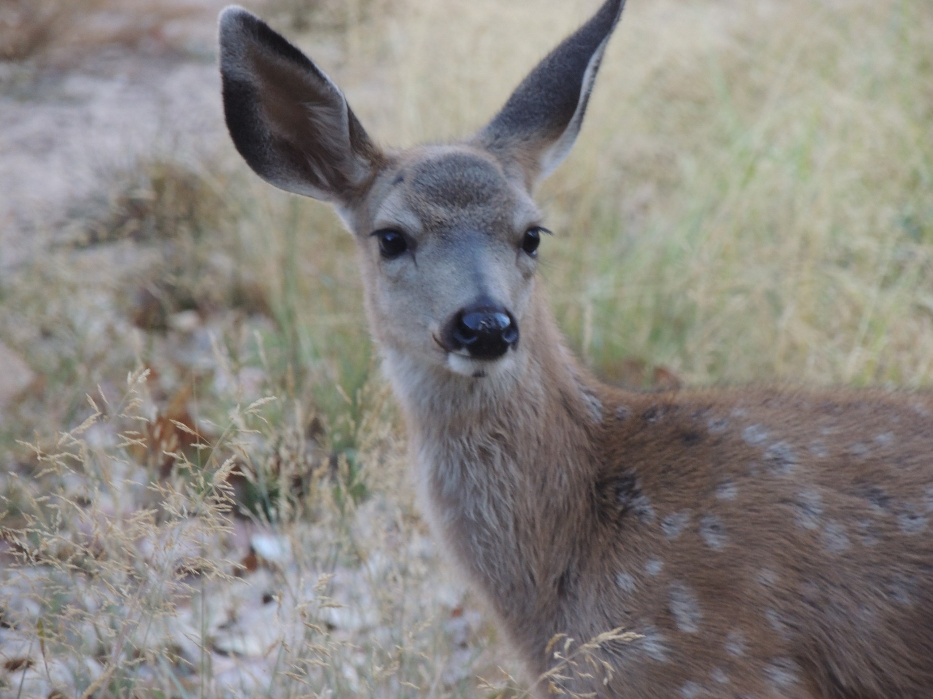
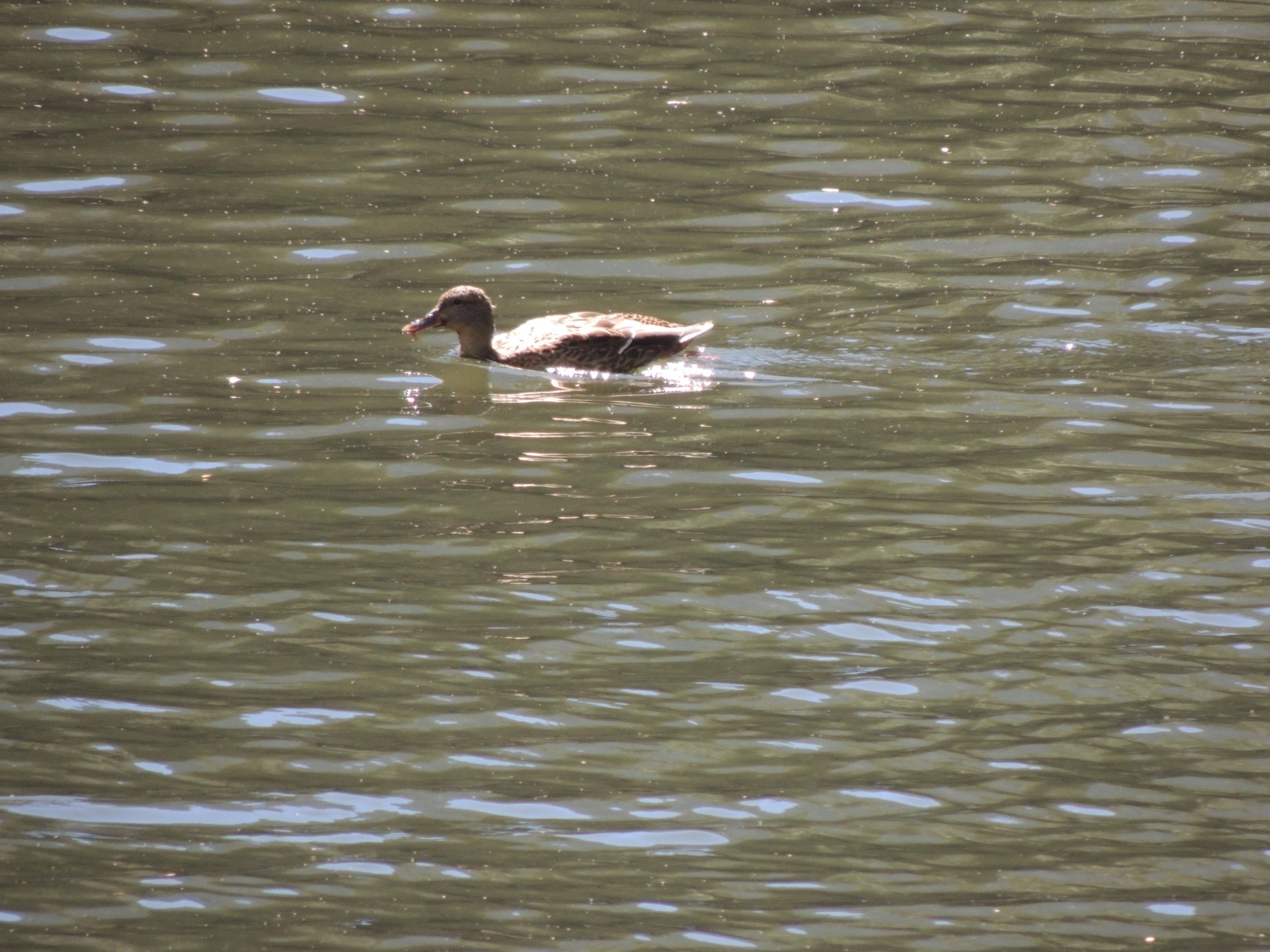
A deer at Yosemite National Park (25/100)
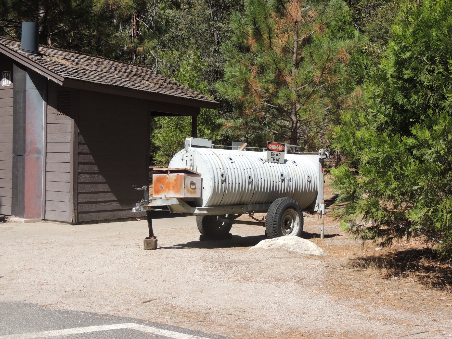
A bear trap used at Yosemite National Park (26/100)
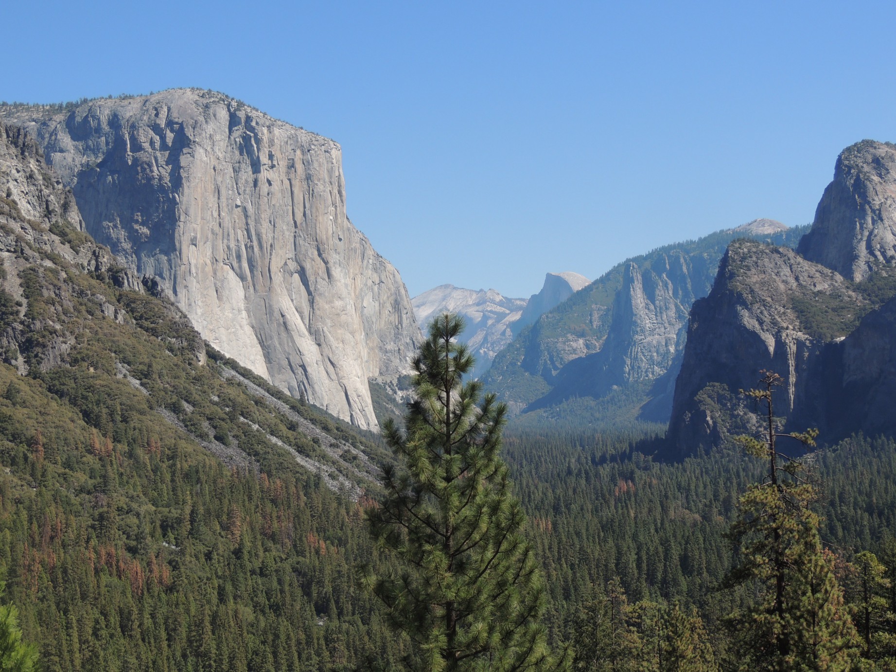
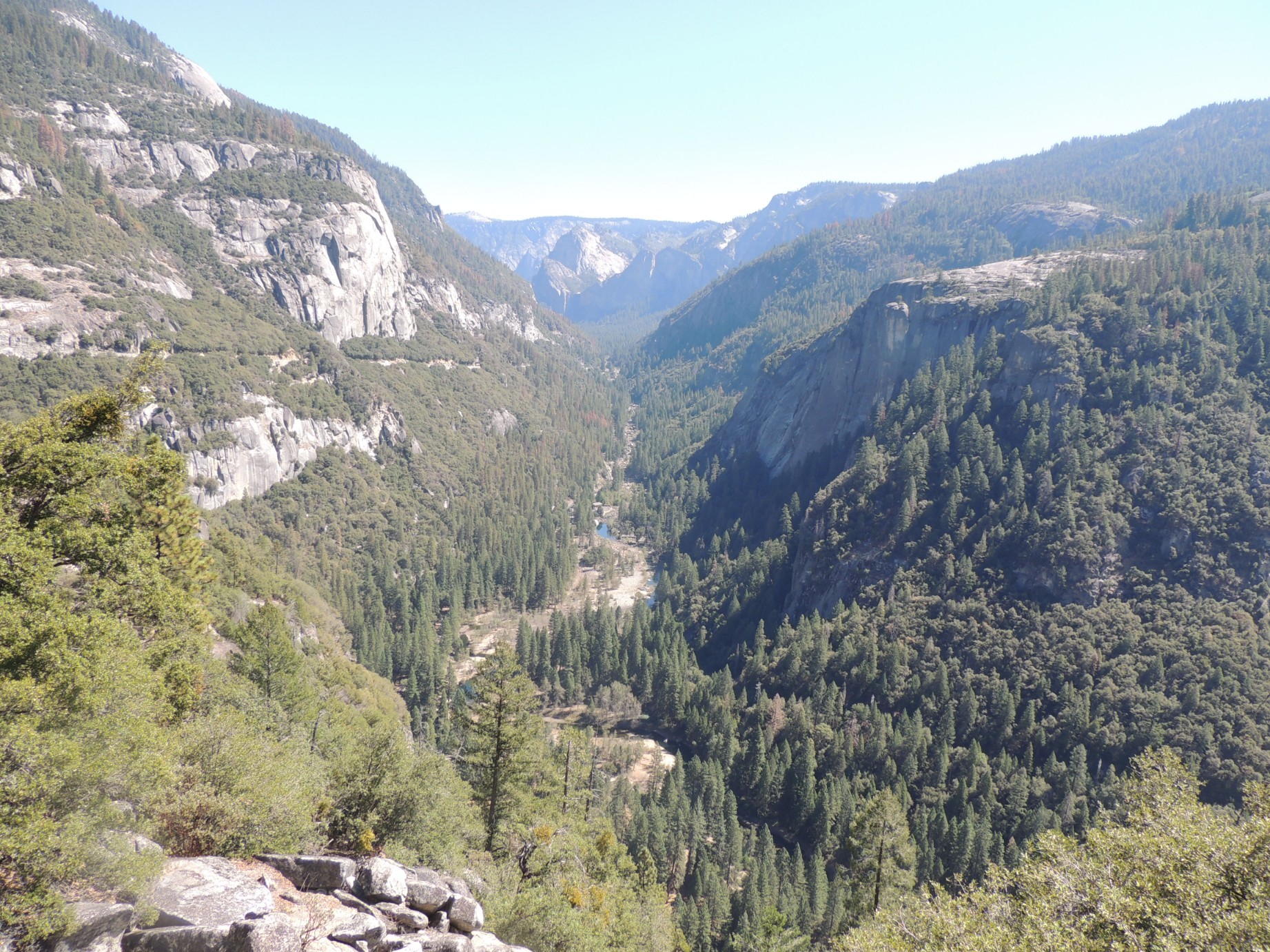
Yosemite Valley (27/100)
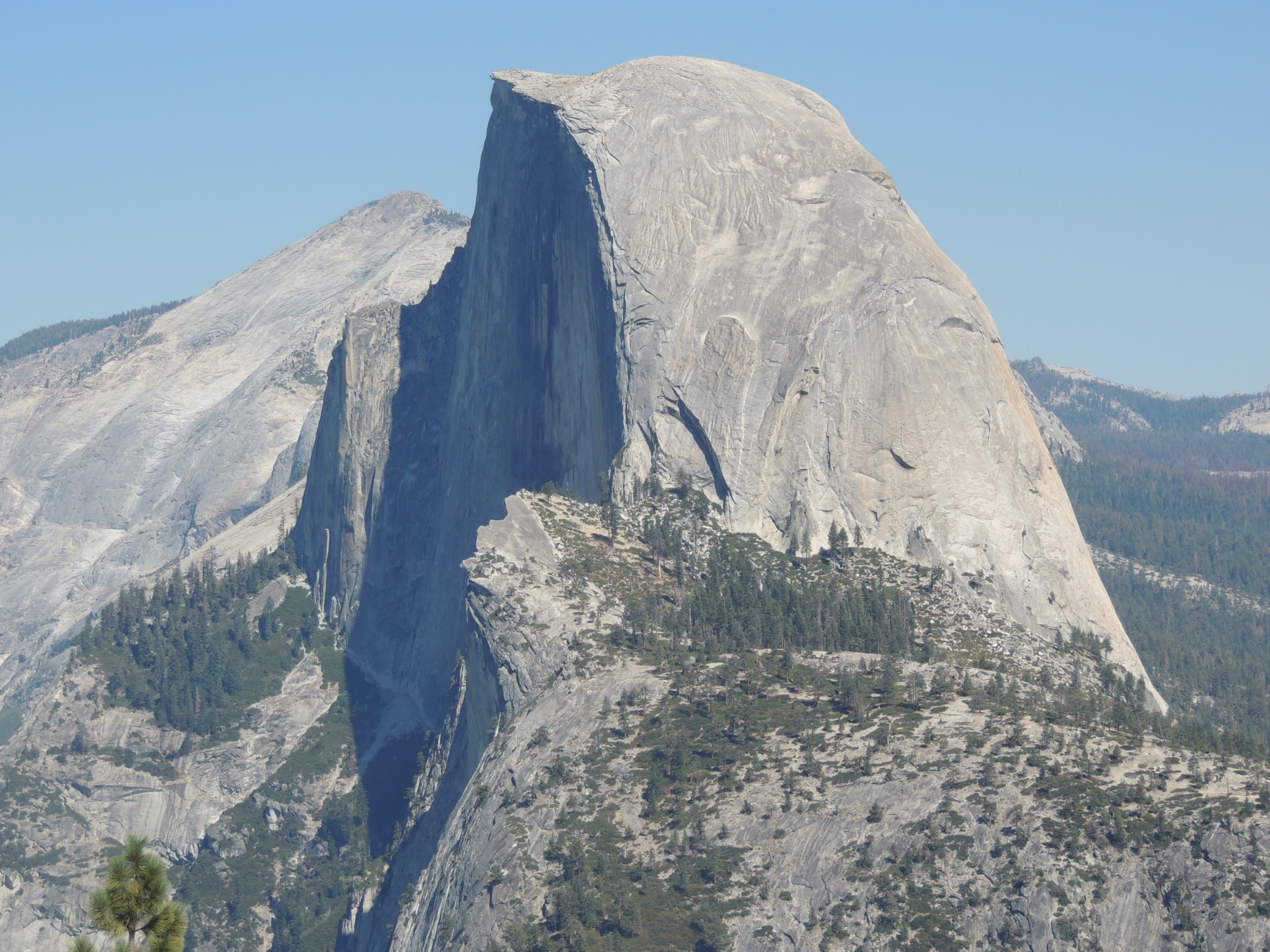
Half Dome as seen from Glacier Point, Yosemite National Park (28/100)
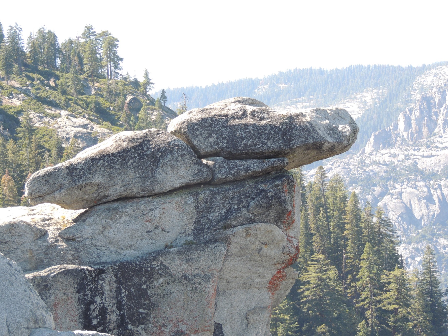
Hanging Rock at Glacier Point, Yosemite National Park (29/100)
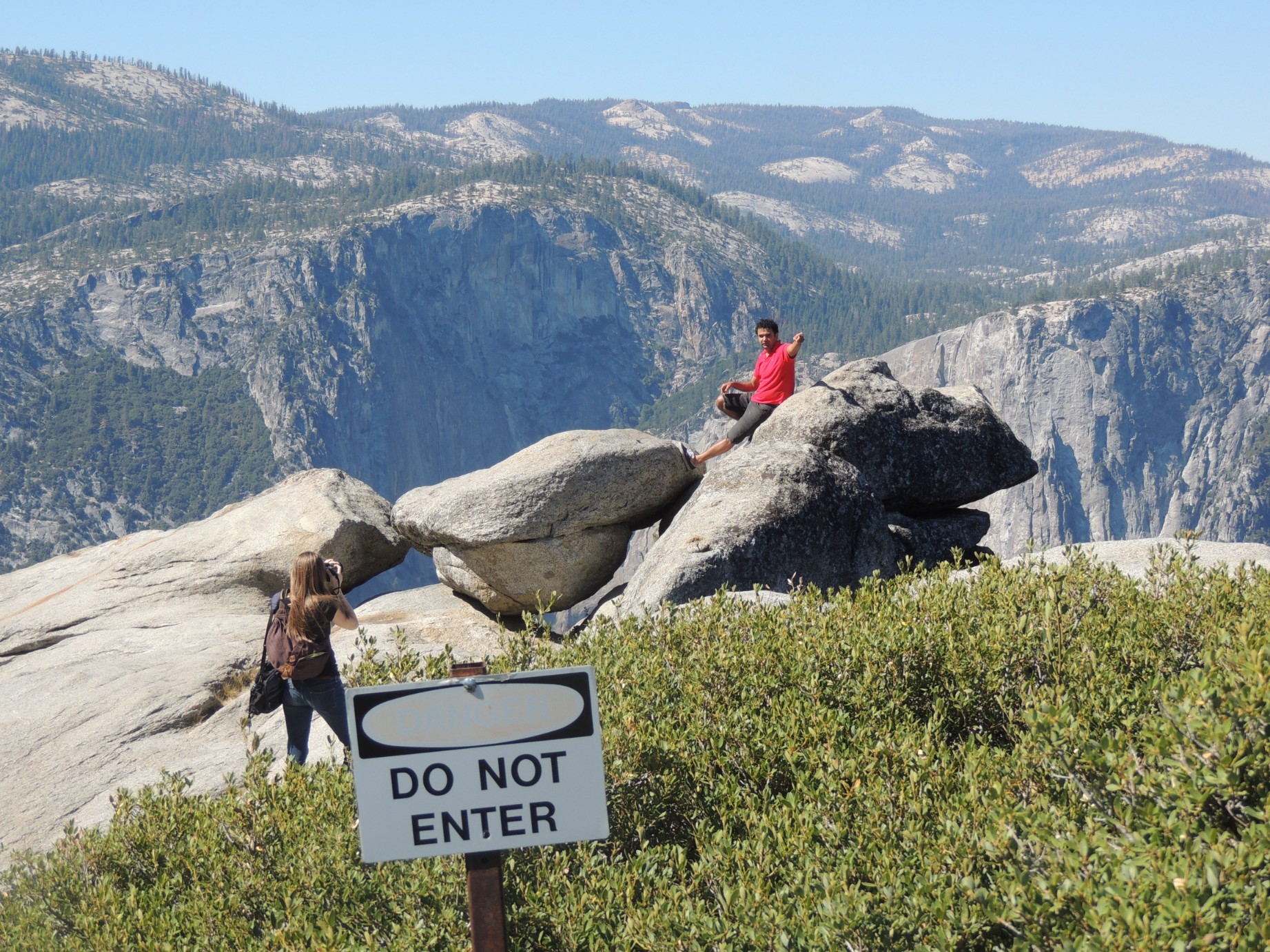
A warning to keep off Hanging Rock (30/100)
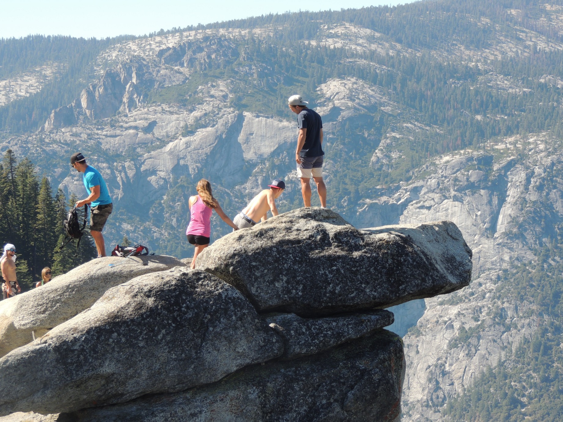
People go on Hanging Rock despite the warnings (31/100)
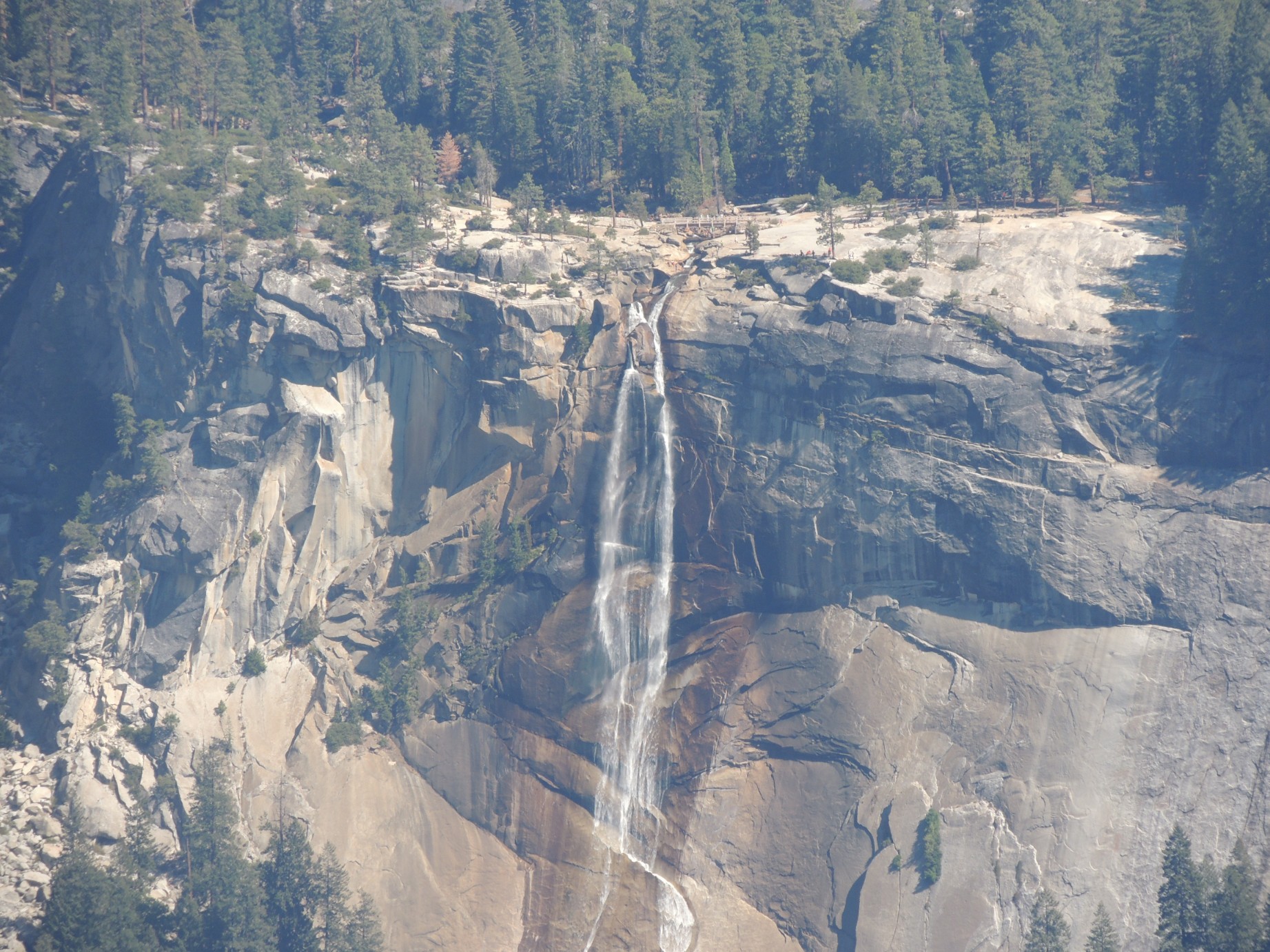
Vernal Falls seen from Glacier Point (32/100)
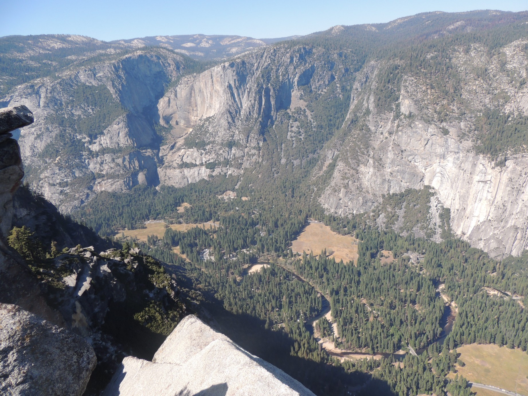
The Yosemite Valley seen from Glacier Point (33/100)
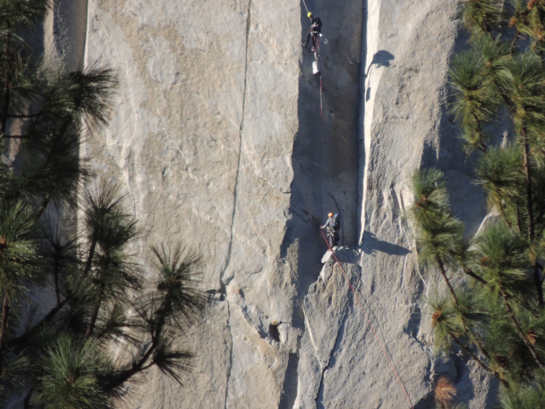
A rock climber on El Capitan (34/100)
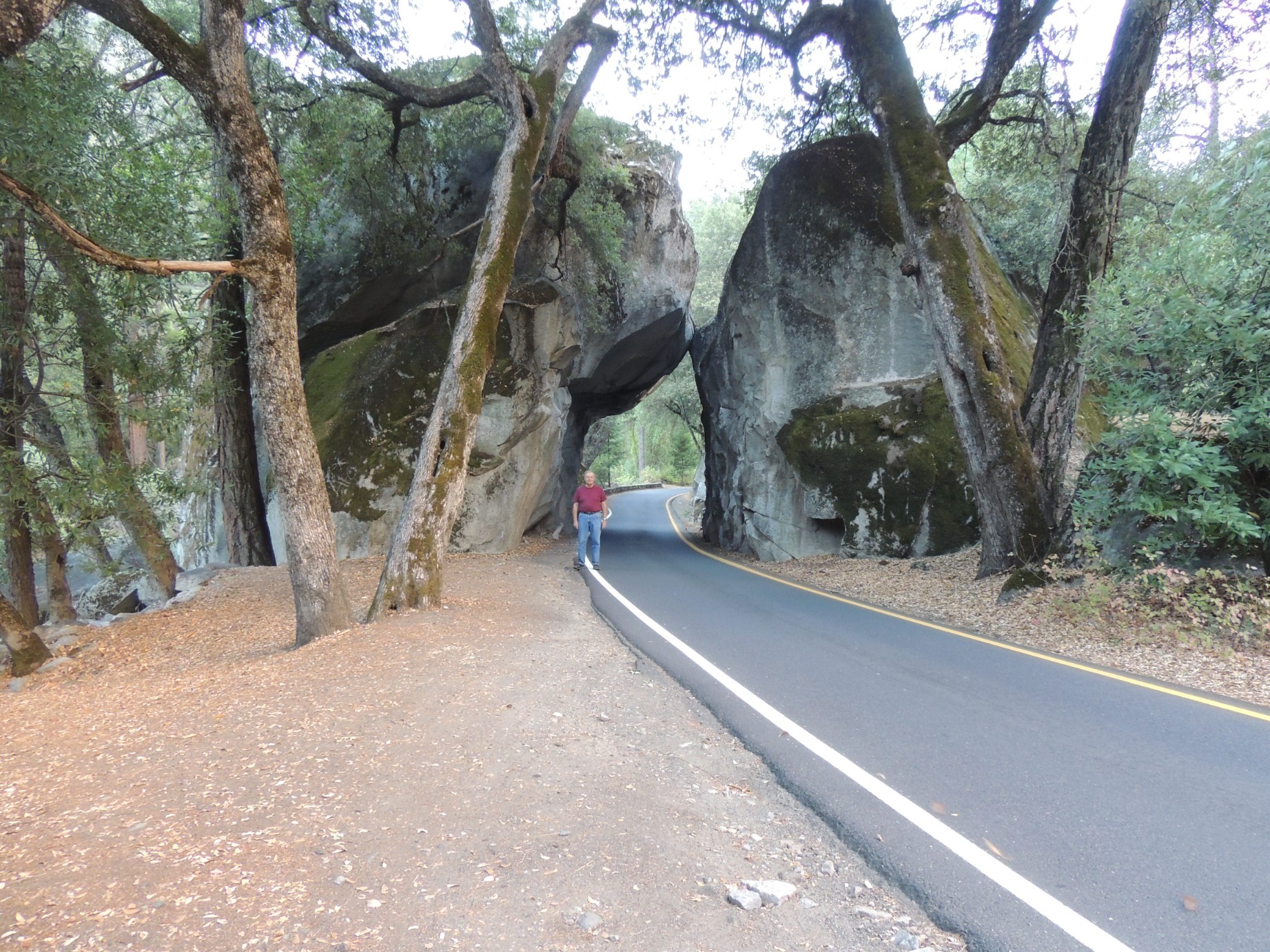
A rock tunnel just inside the entrance to Yosemite National Park (35/100)
A rock formation in Yosemite National Park (36/100)
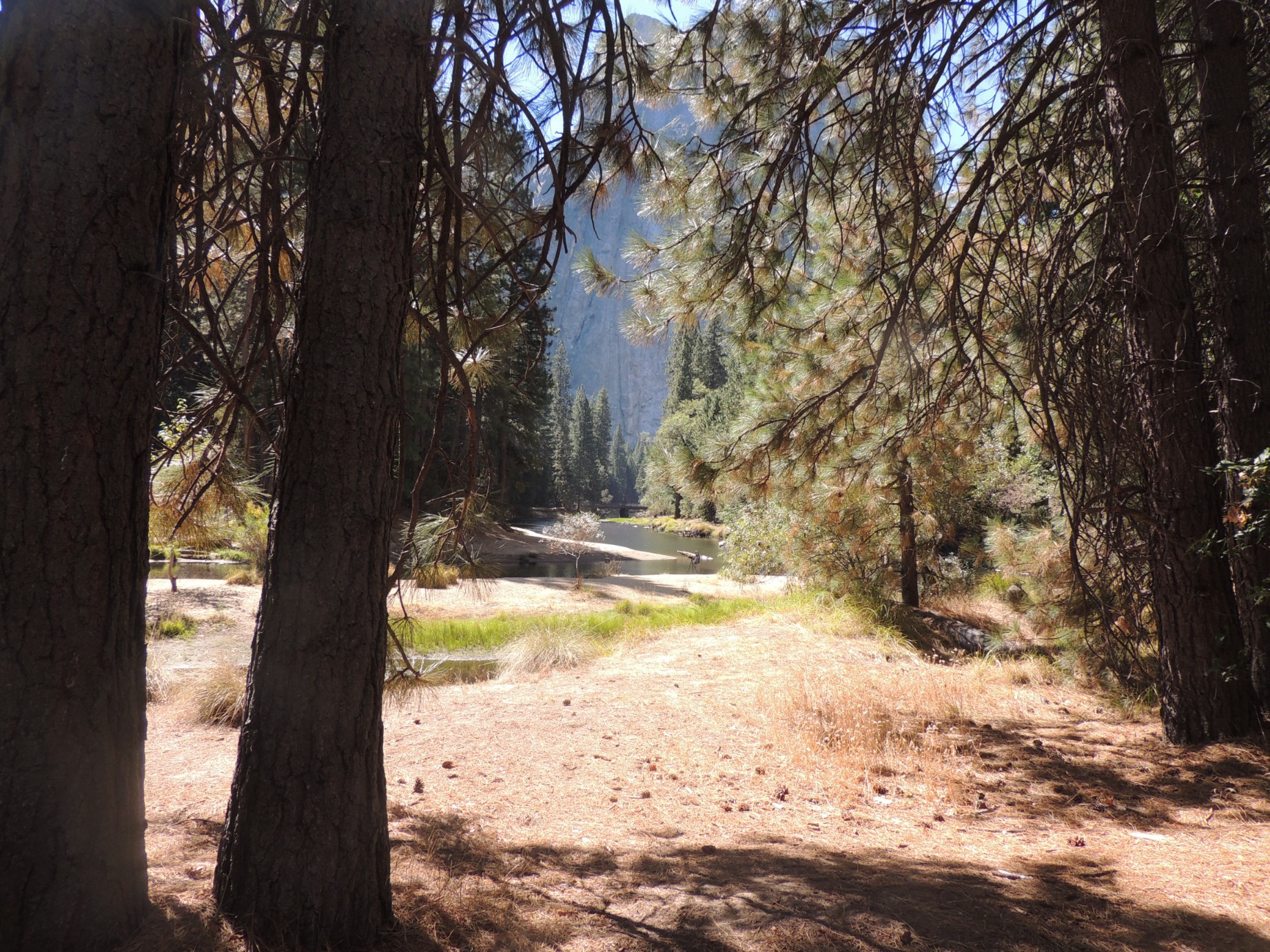
A view along the Merced River in Yosemite National Park (37/100)
A view along the Merced River in Yosemite National Park (38/100)
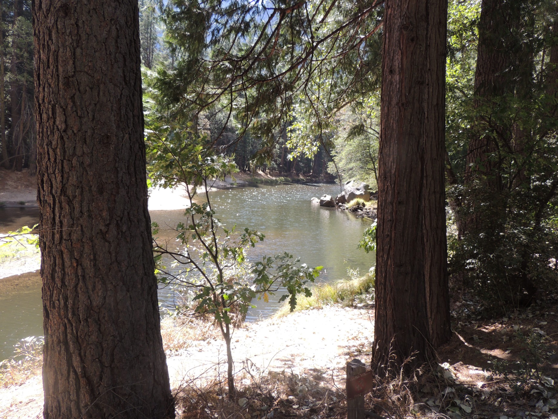
A view along the Merced River in Yosemite National Park (39/100)
The Yosemite Valley from the Tunnel View Lookout (40/100)

The O'Shaughnessy Dam and the Hetch Hetchy Reservoir (41/100)
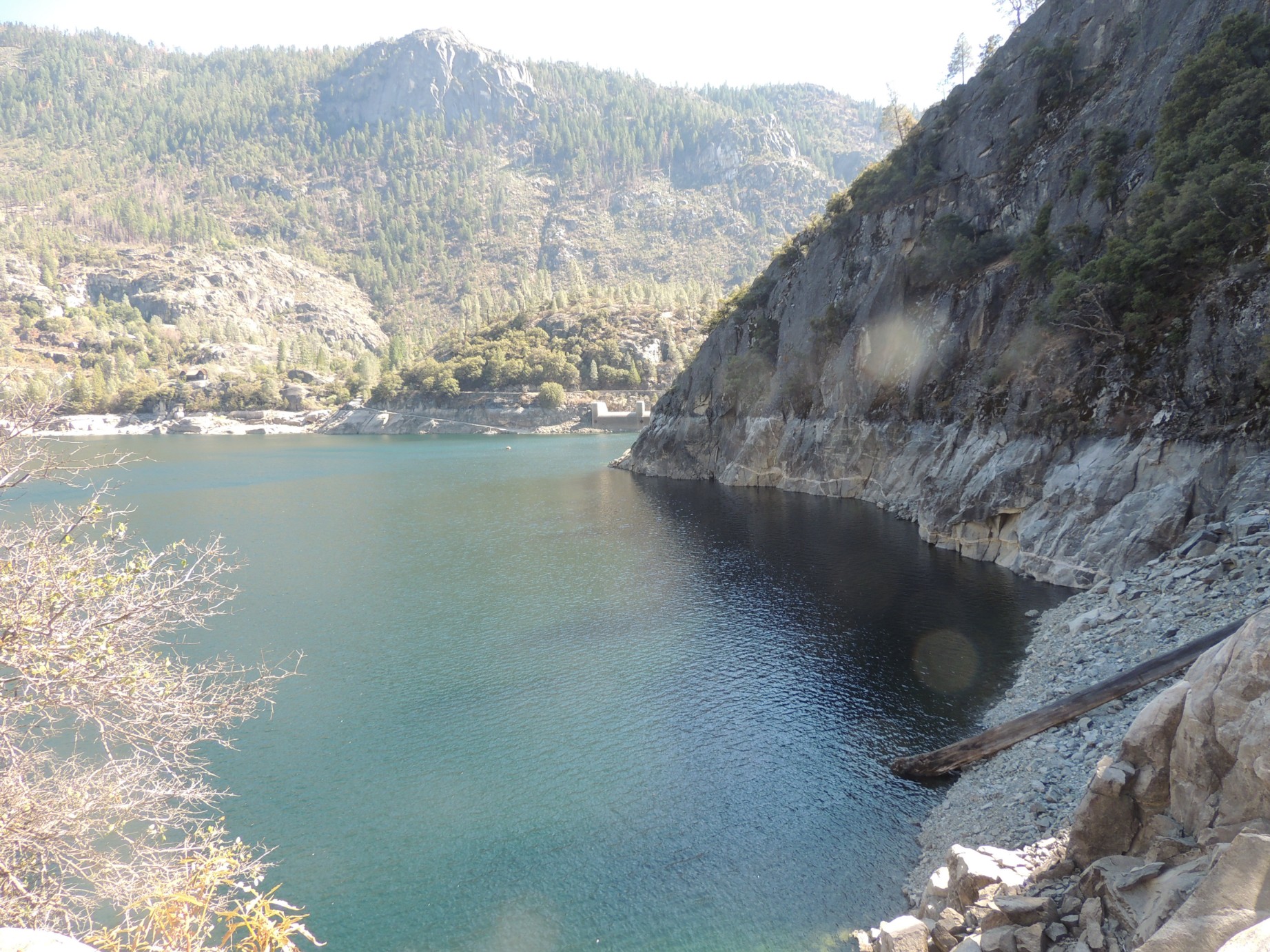
The Hetch Hetchy Reservoir (42/100)
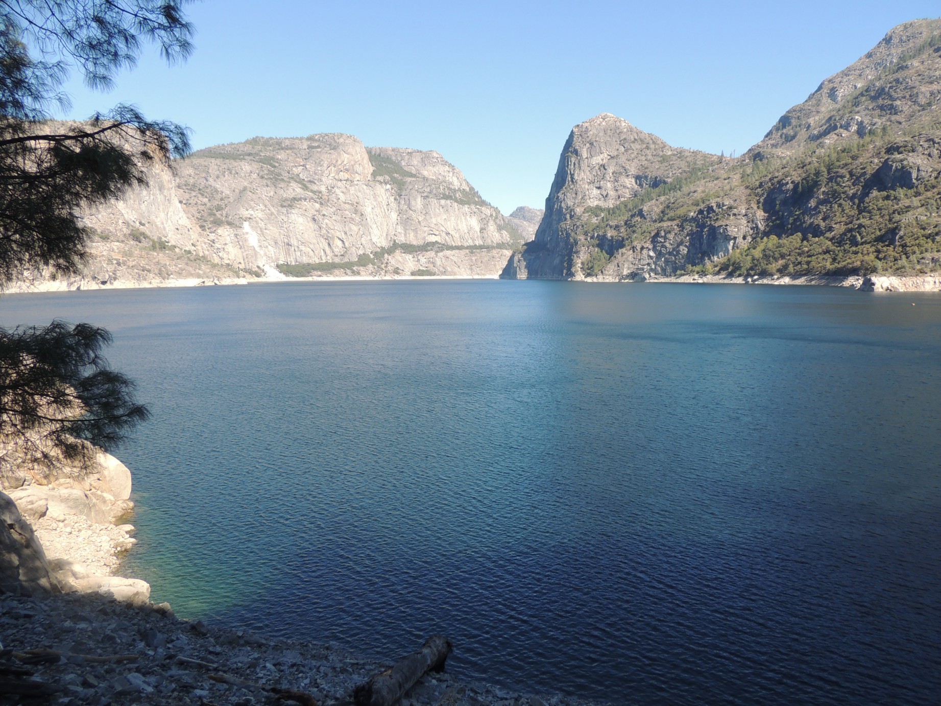
The Hetch Hetchy Reservoir (43/100)
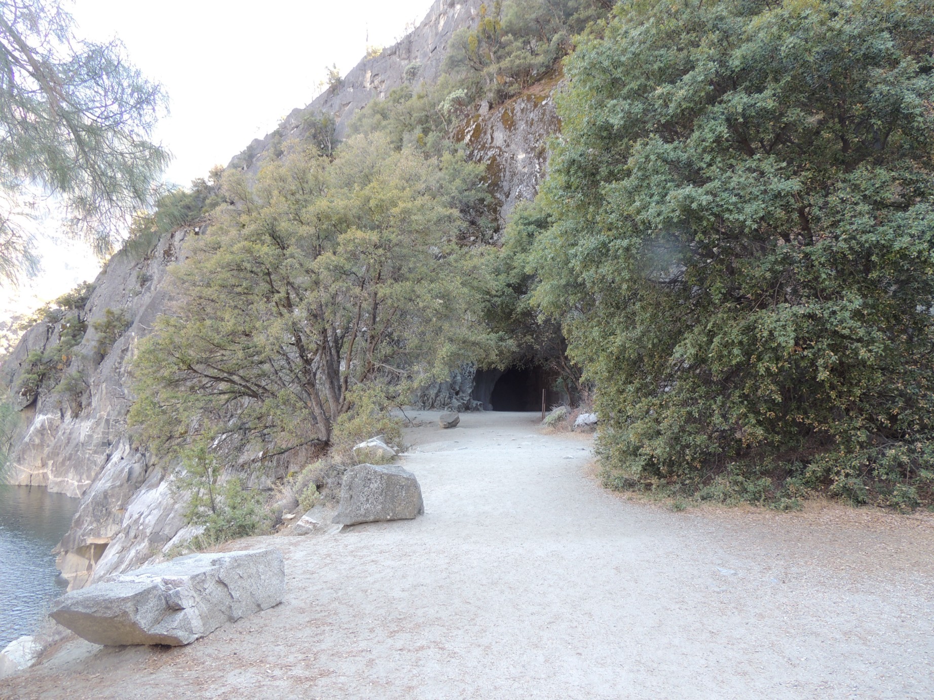
The tunnel at the north end of O'Shaughnessy Dam (44/100)
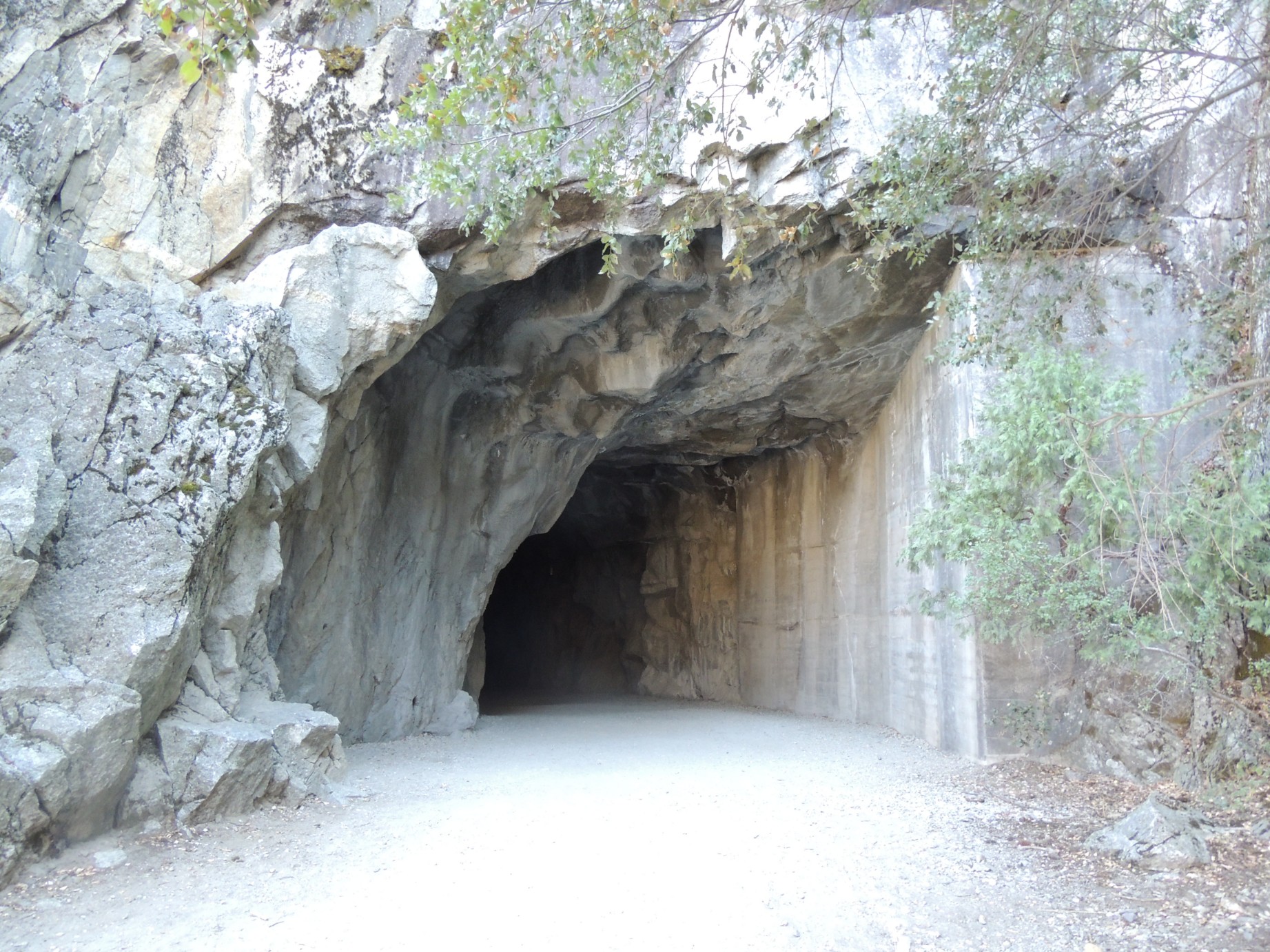
The tunnel at the north end of O'Shaughnessy Dam (45/100)
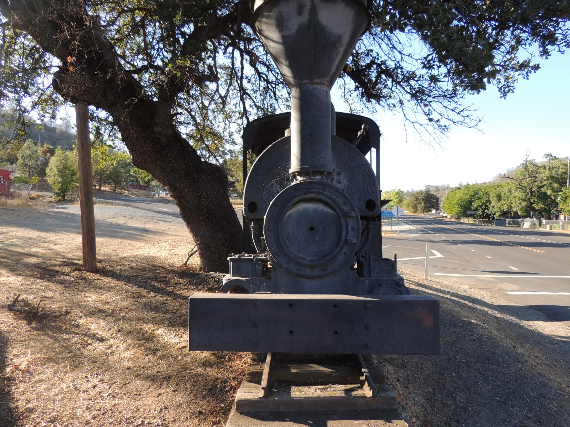
"Whistling Billy" gold ore train engine at Coulterville, California (46/100)
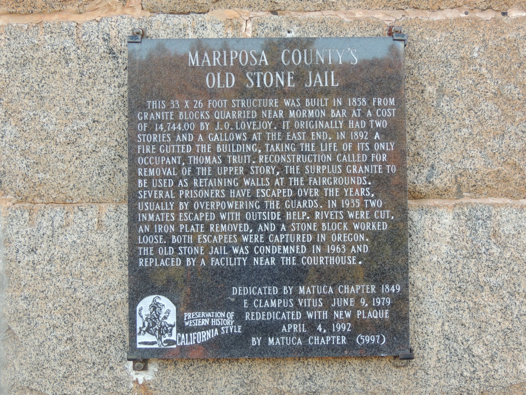
Plaque on the "Mariposa County Old Stone Jail" (47/100)
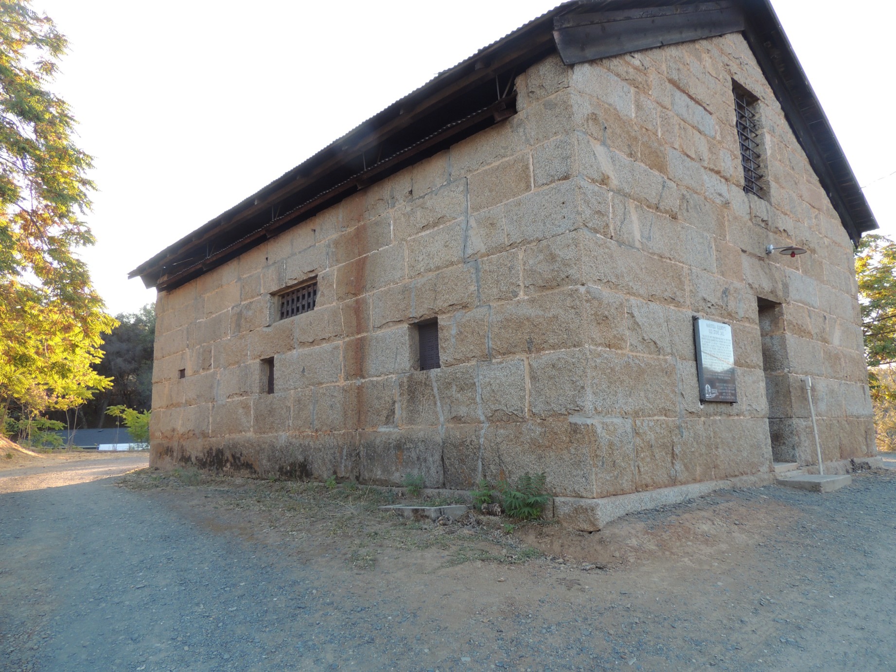
The "Mariposa County Old Stone Jail", constructed of granite blocks (48/100)
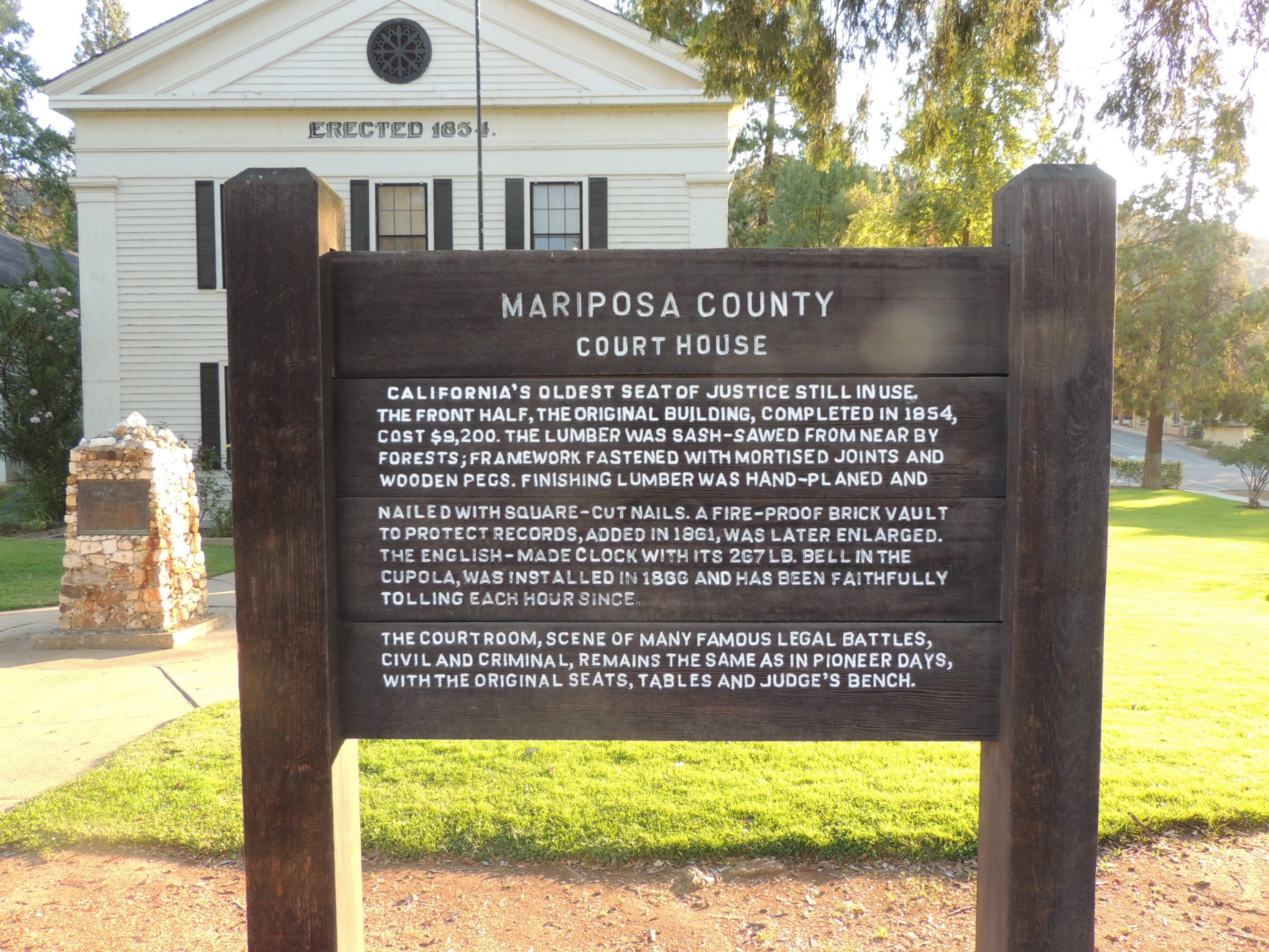
Sign in front of the historic Mariposa County Court House (49/100)
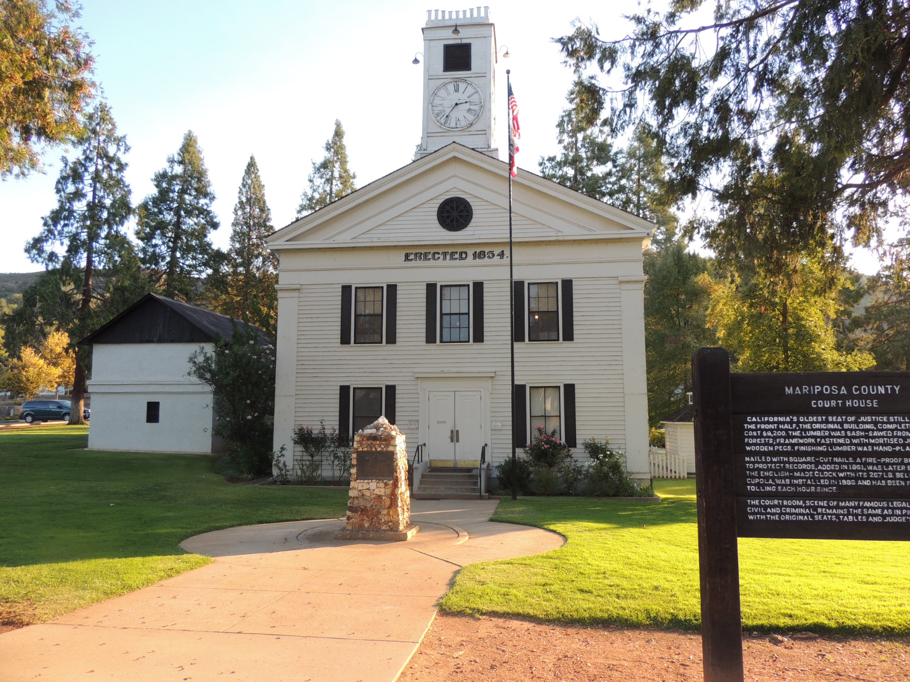
The Mariposa County Court House, completed in 1854 (50/100)
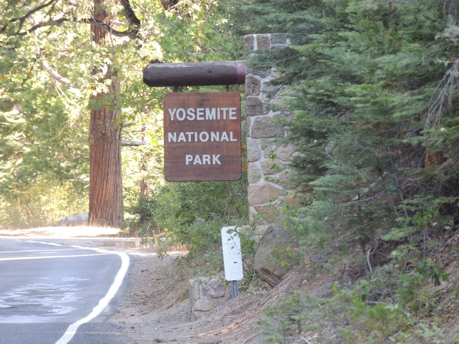
Leaving Yosemite National Park (51/100)
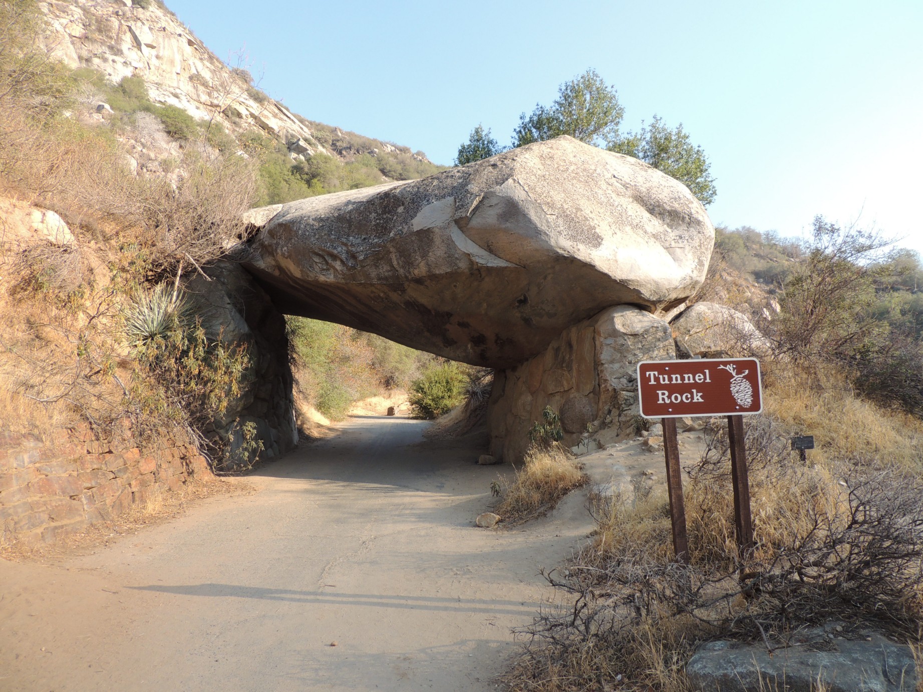
Tunnel Rock in Sequoia National Park (52/100)
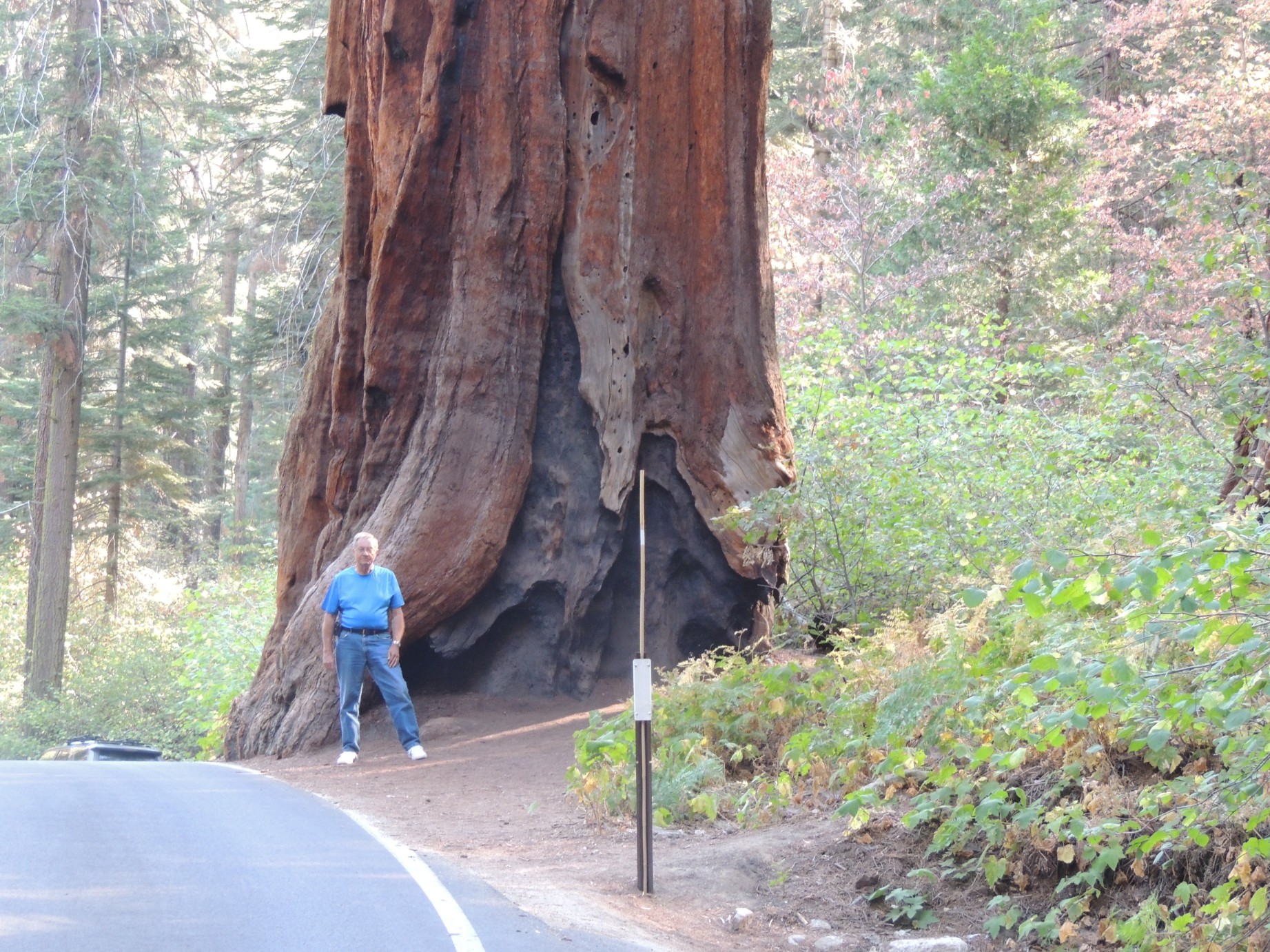
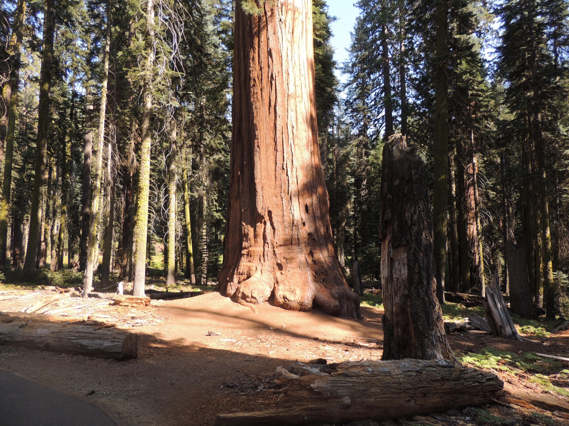
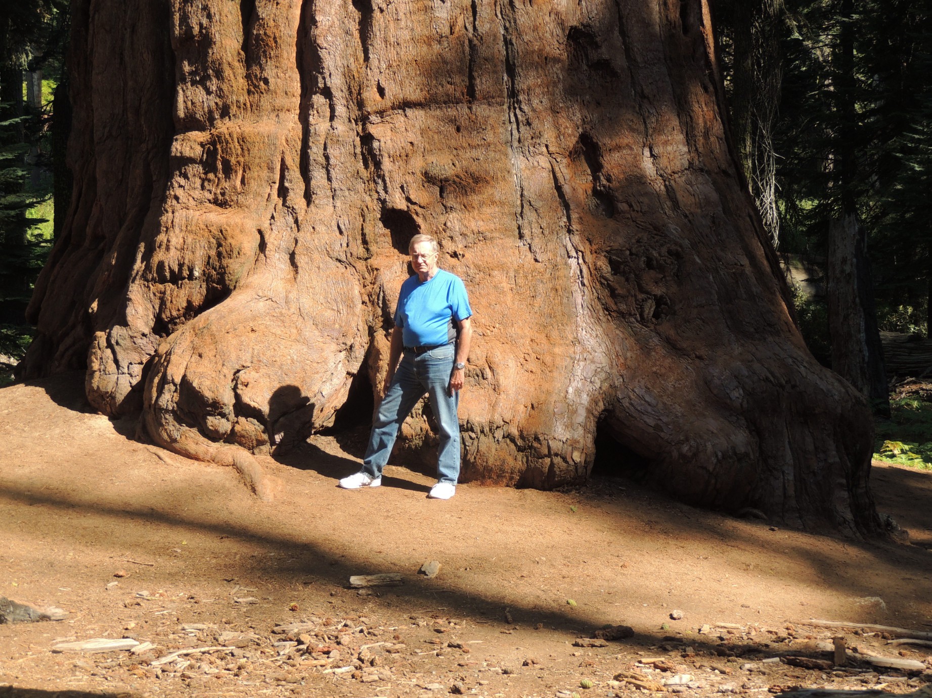
Posing with one of the giant trees in Sequoia National Park (53/100)
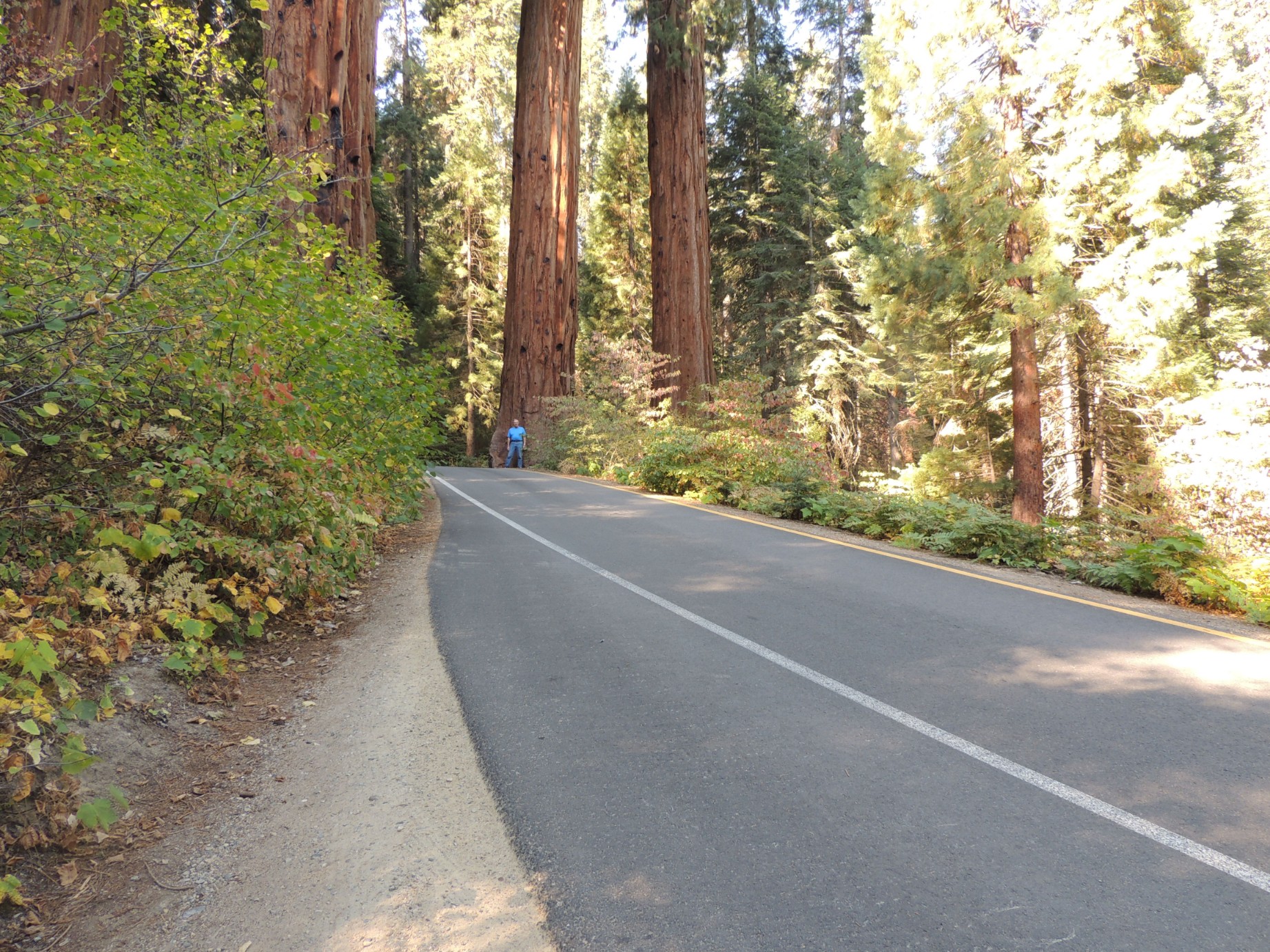
The Four Guardsmen at Sequoia National Park (54/100)
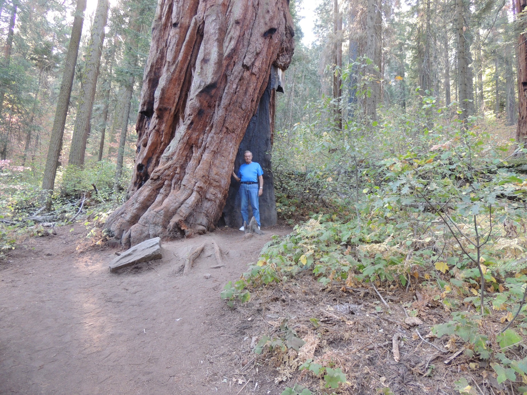
Posing with one of the giant trees in Sequoia National Park (55/100)
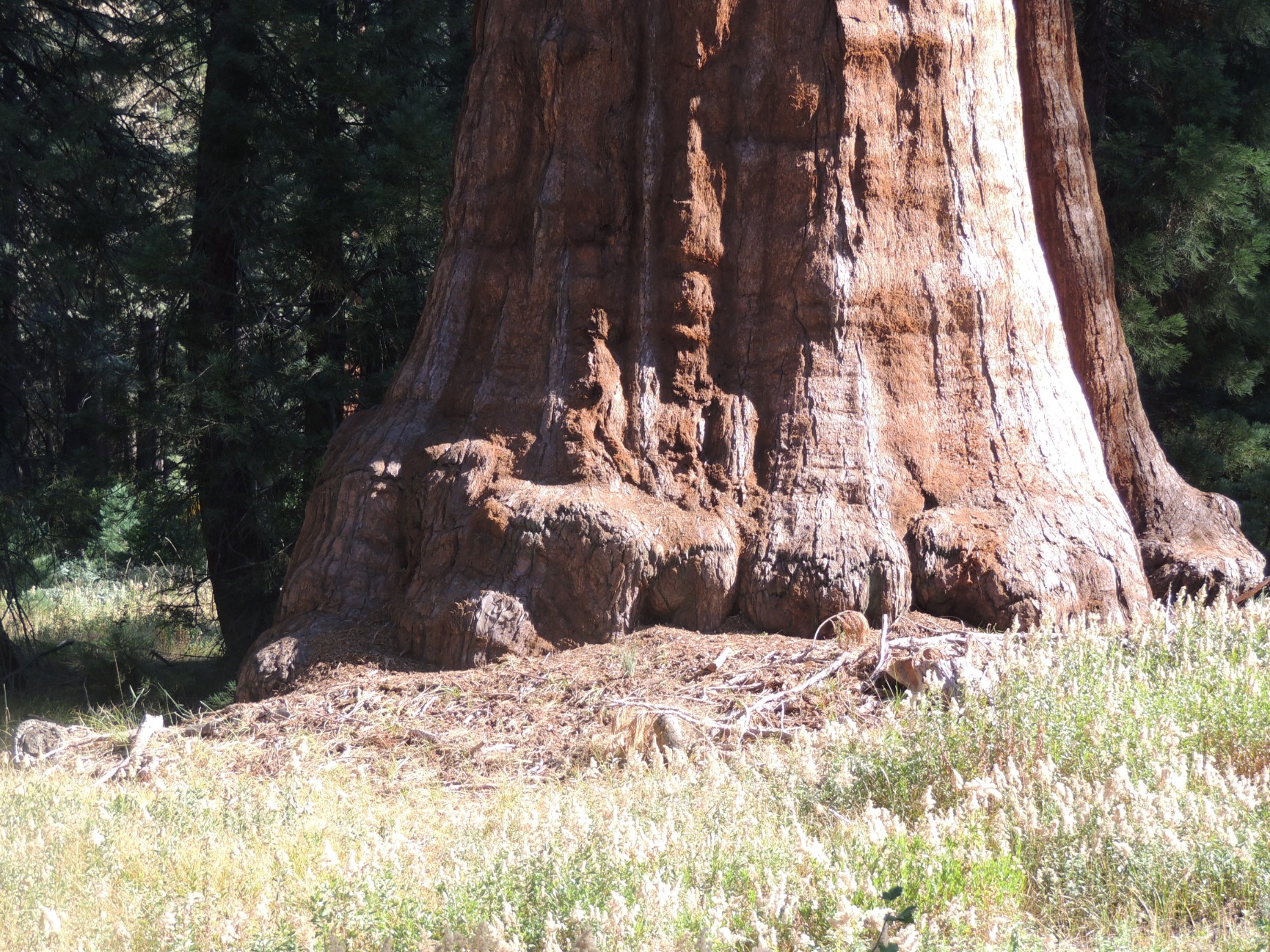
The base one of the giant trees in Sequoia National Park (56/100)
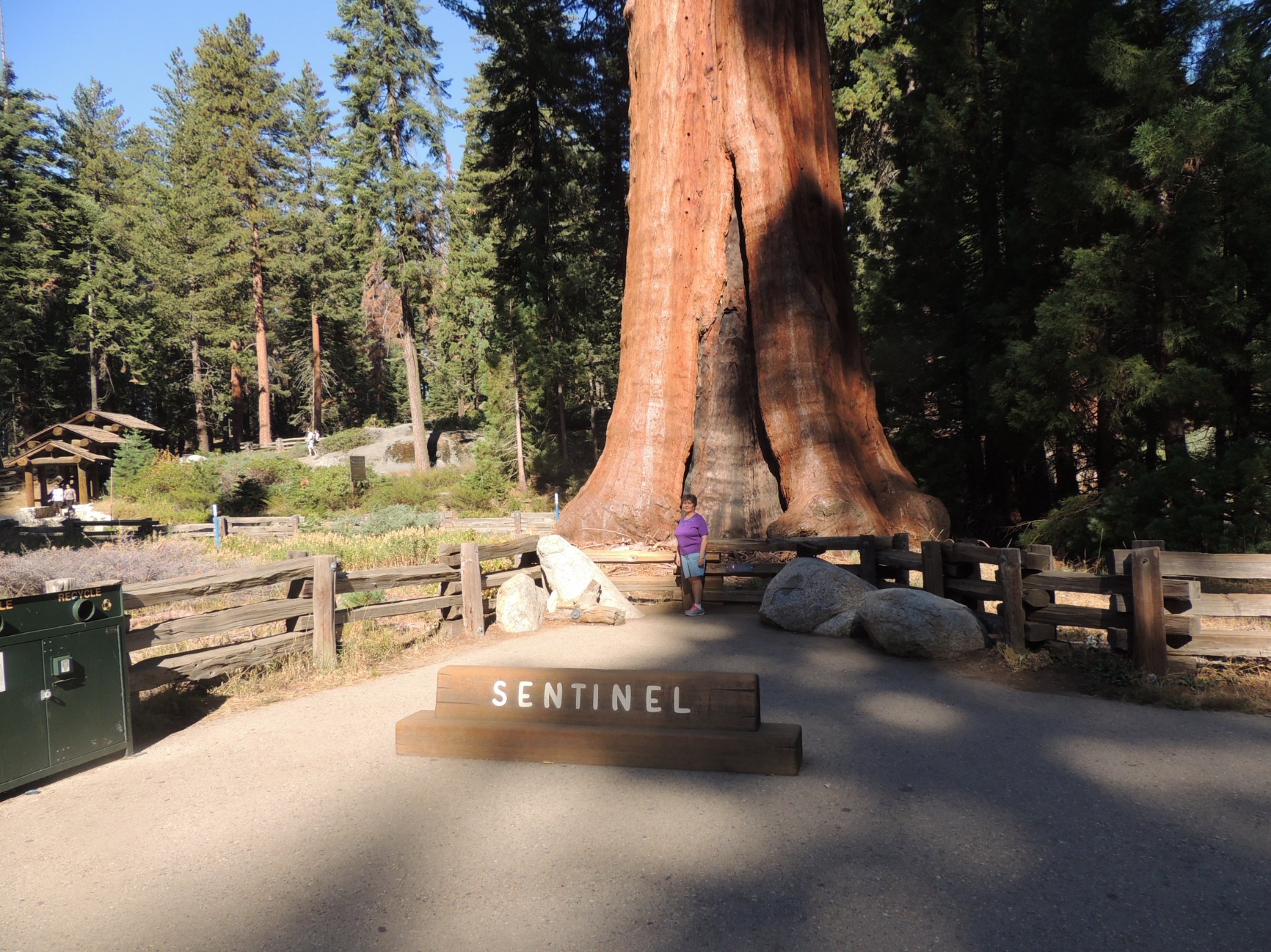
"The Sentinel" in the Giant Forest Grove of Sequoia National Park (57/100)
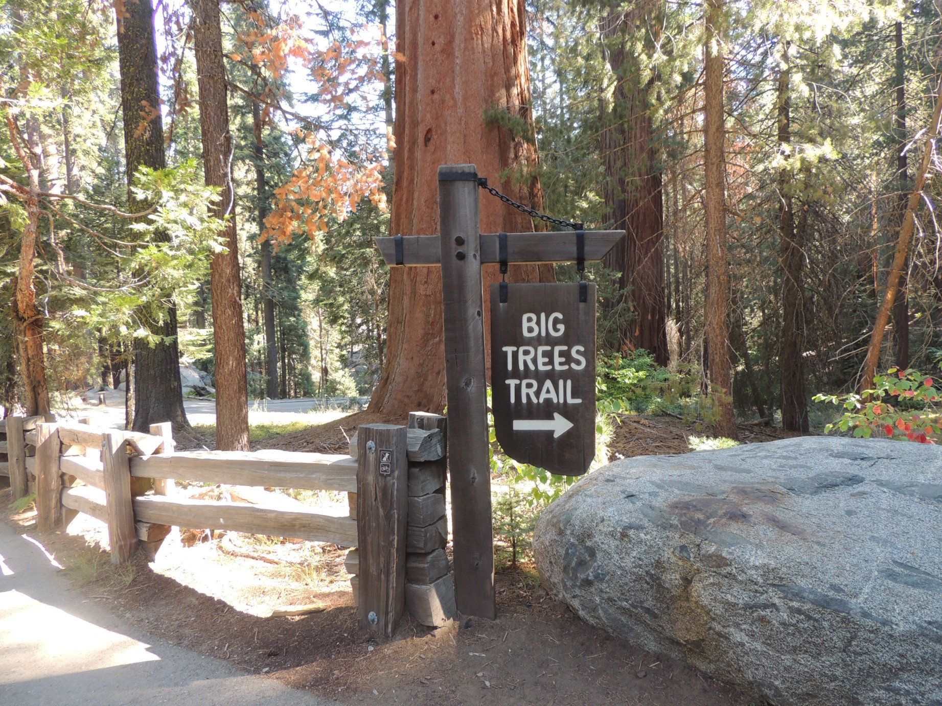
The start of the "Big Tree Trail" in Sequoia National Park (58/100)
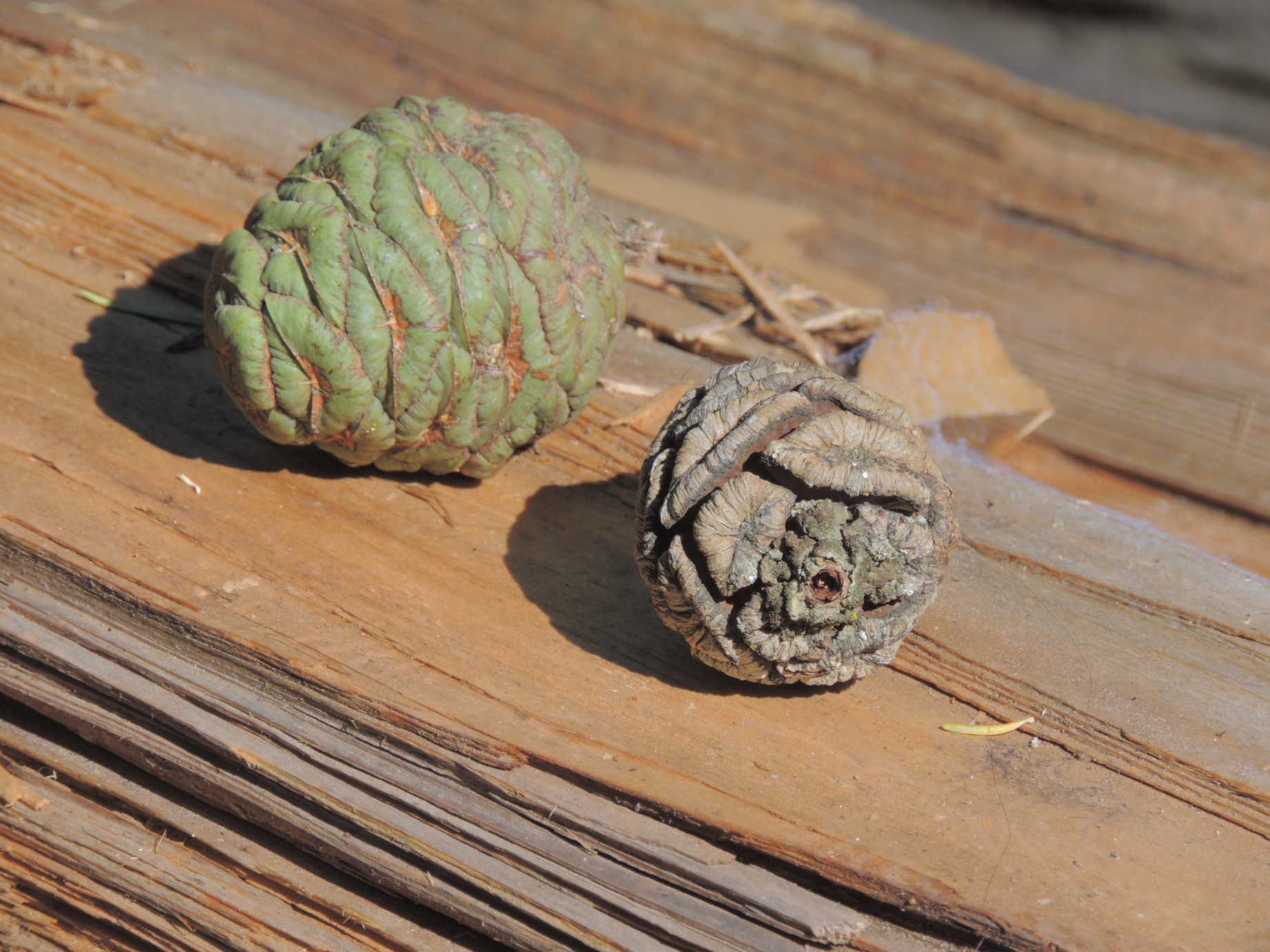
Sequoia tree pine cones (59/100)
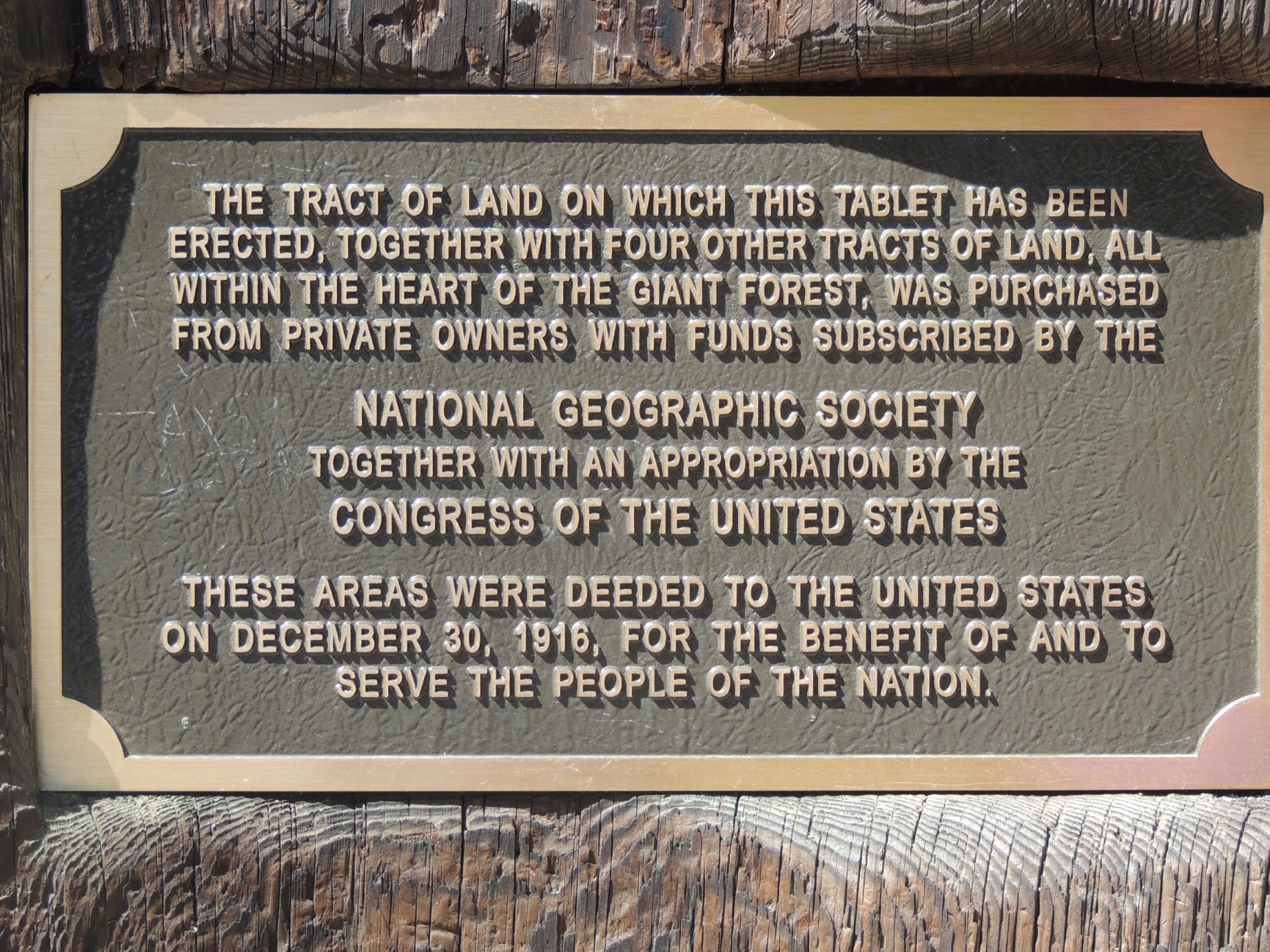
Plaque desribing the purchase of Sequoia National Park lands (60/100)
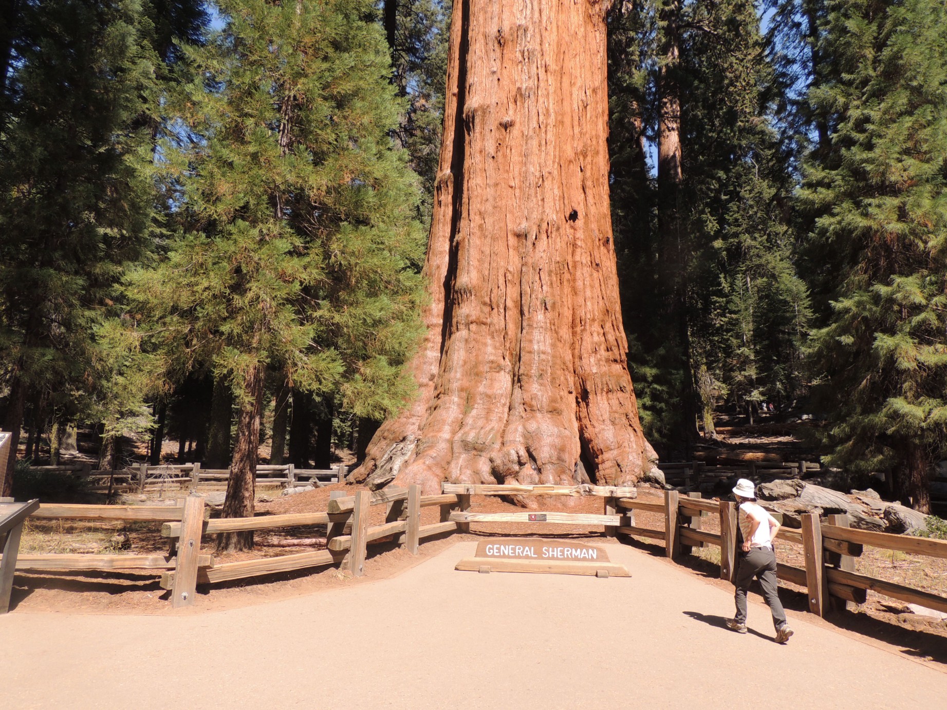
The General Sherman tree, the largest living thing on earth (61/100)
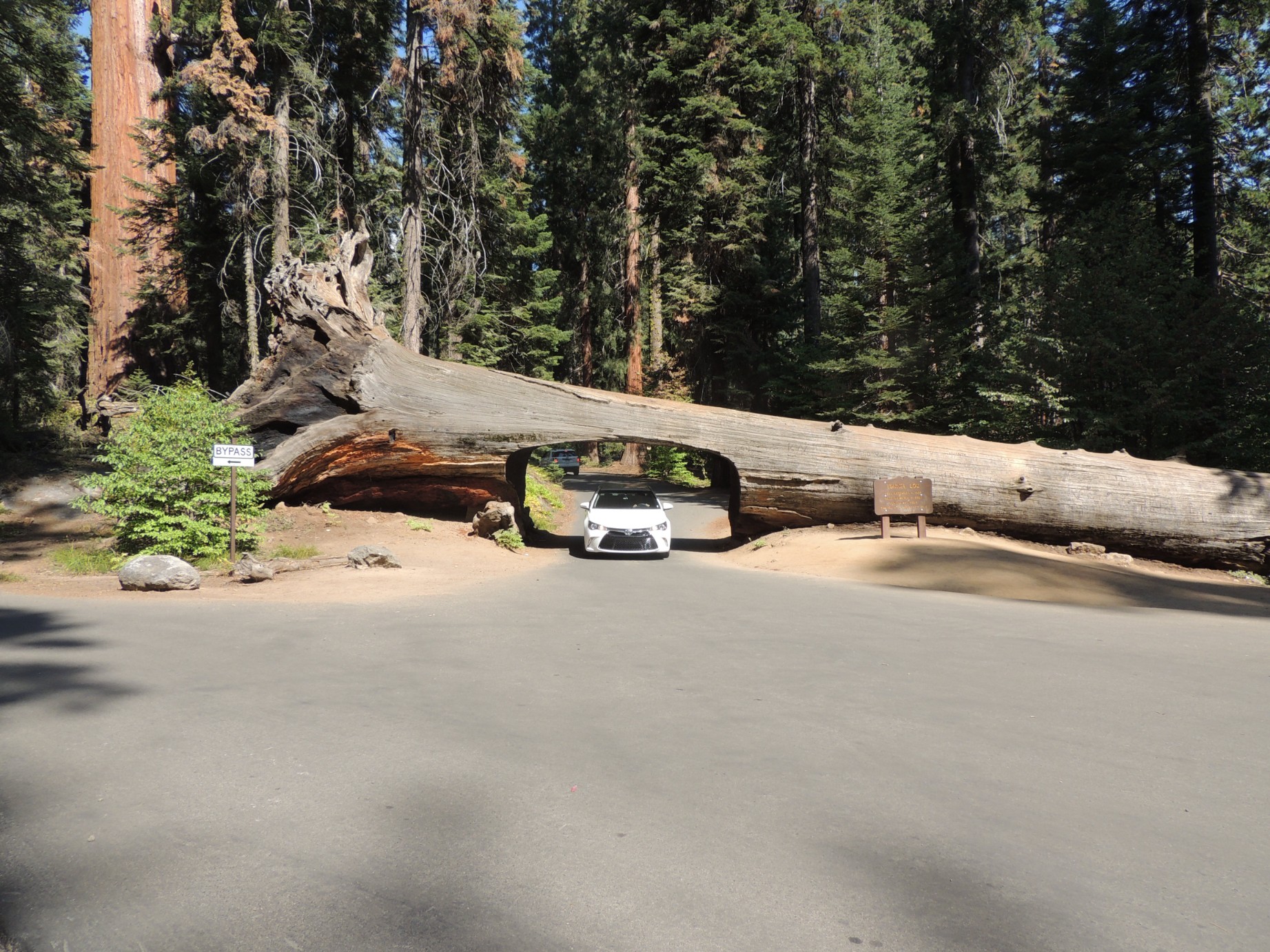
Tunnel Log is on Moro Rock/Crescent Meadow Road in Sequoia National Park (62/100)
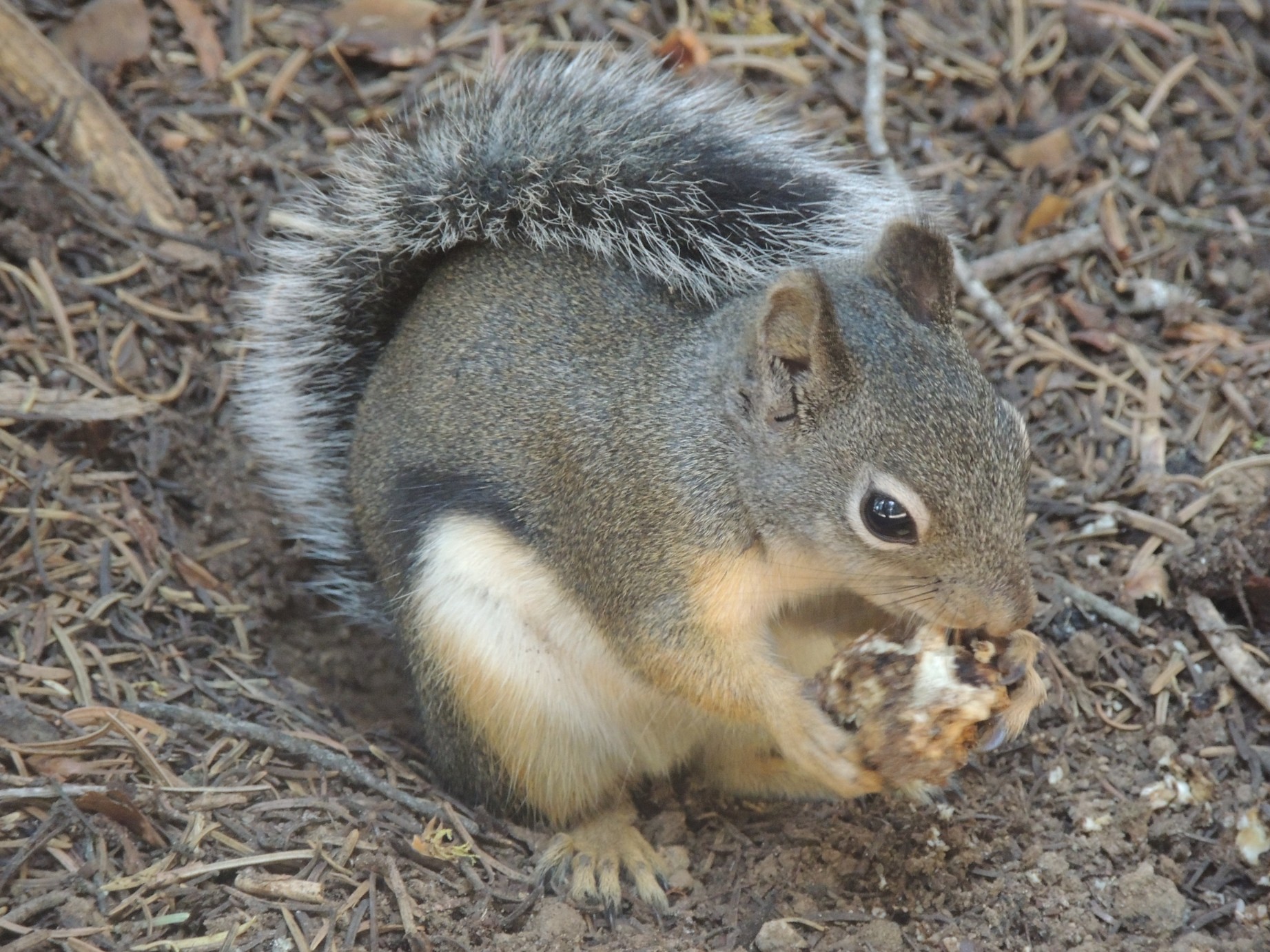
A squirrel along the trail in Sequoia National Park (63/100)
A huge specimen along the Big Trees Trail (64/100)
Posing with a huge sequoia along the Big Trees Trail (65/100)
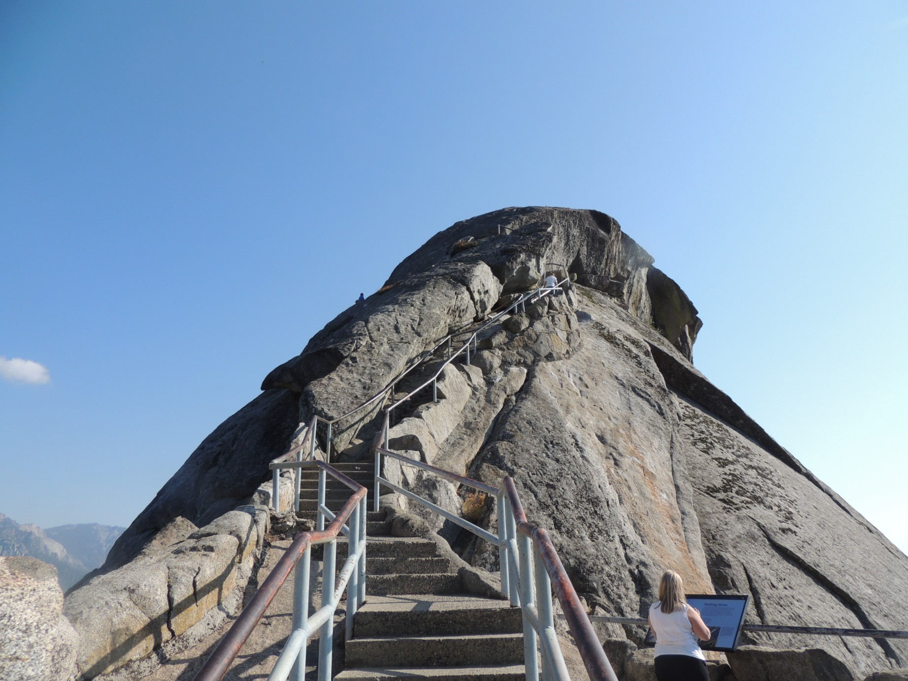
The steps to the top of Moro Rock in Sequoia National Park (66/100)
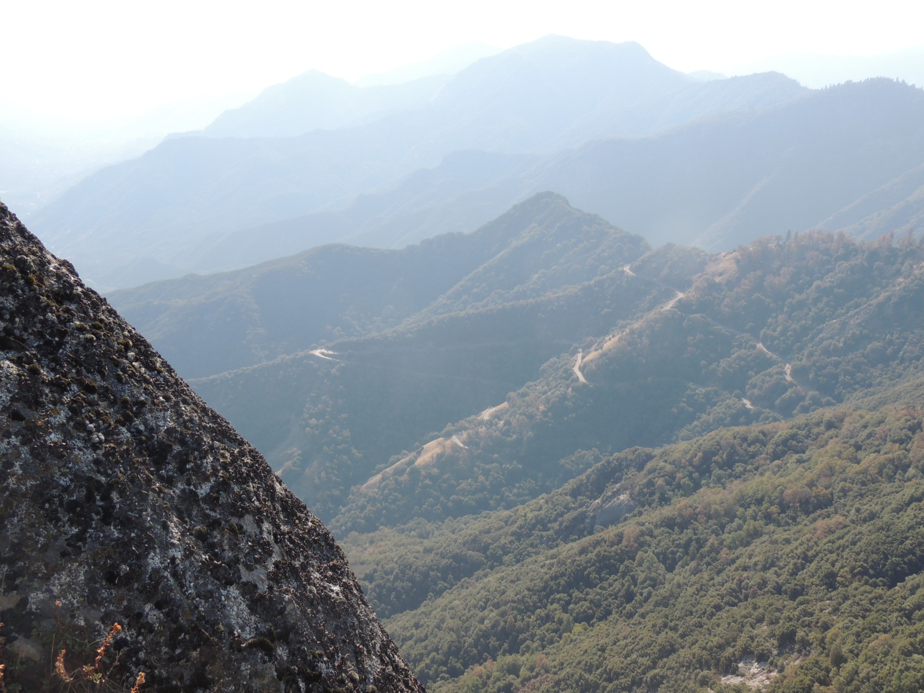
The view from the top of Moro Rock showing smoke from nearby forest fire (67/100)
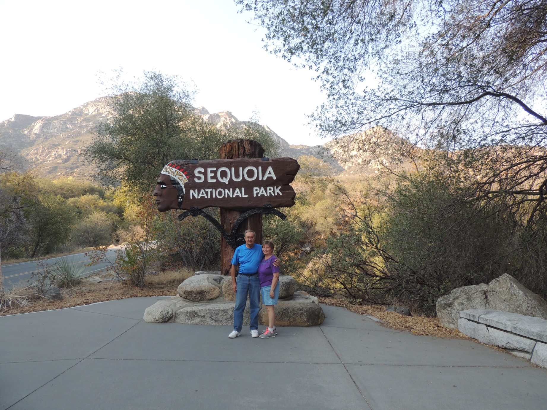
The entrance to Sequoia National Park (68/100)
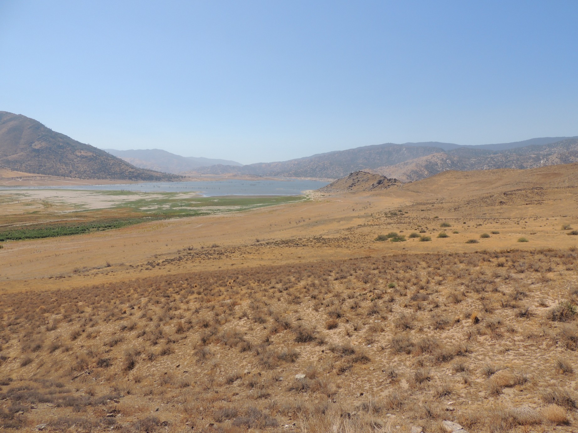
Lake Isabella along the Great Western Highway (69/100)
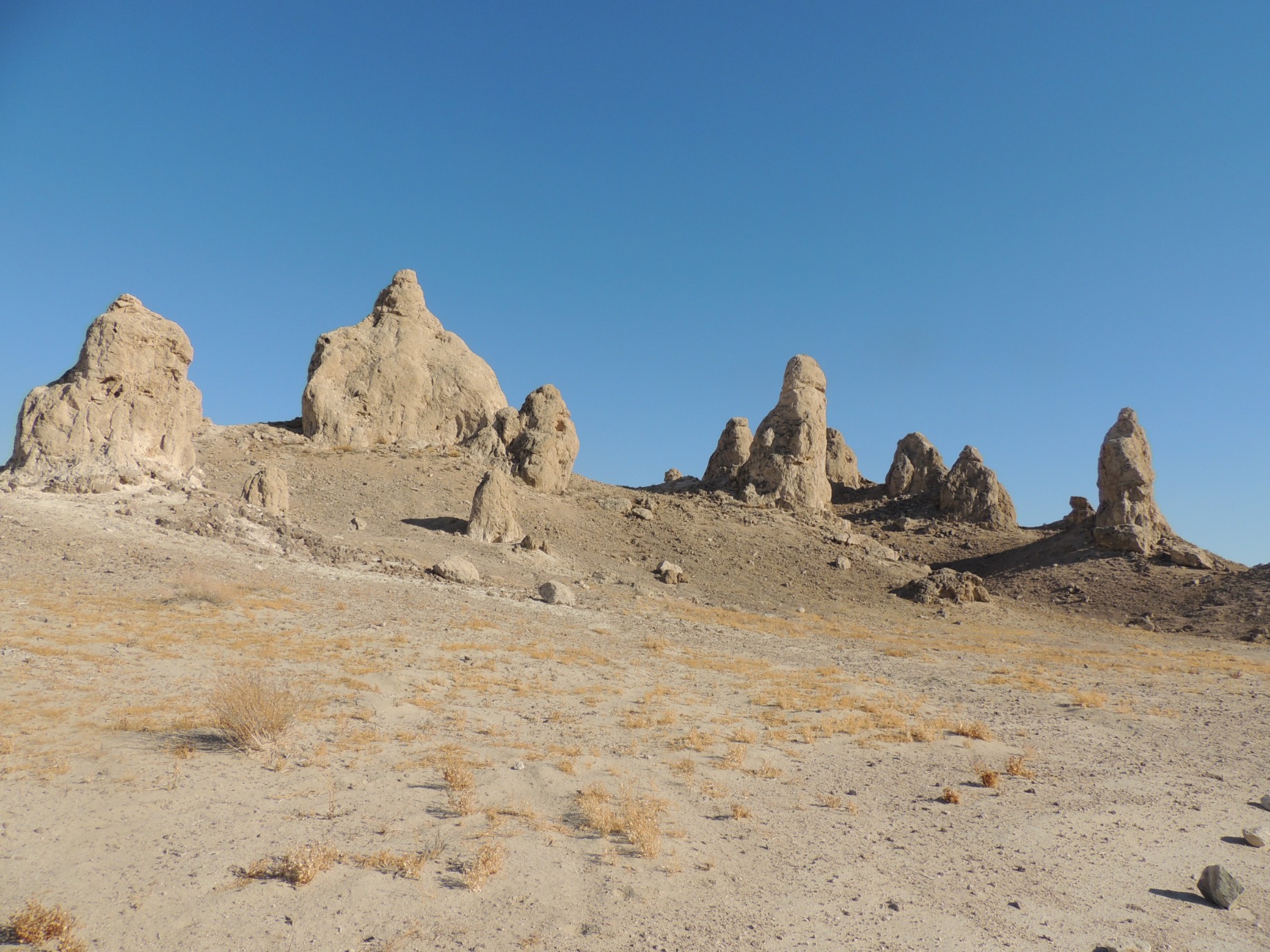
The Trona Pinnacles (70/100)
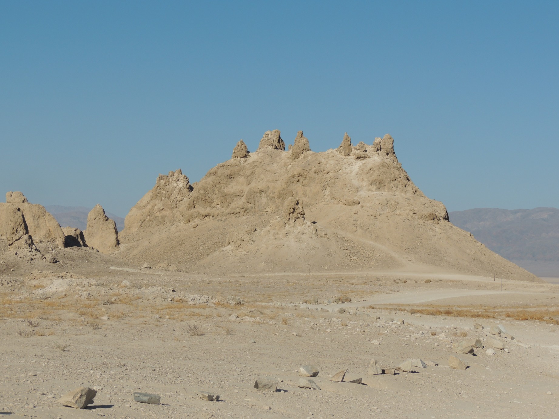
The Trona Pinnacles (71/100)
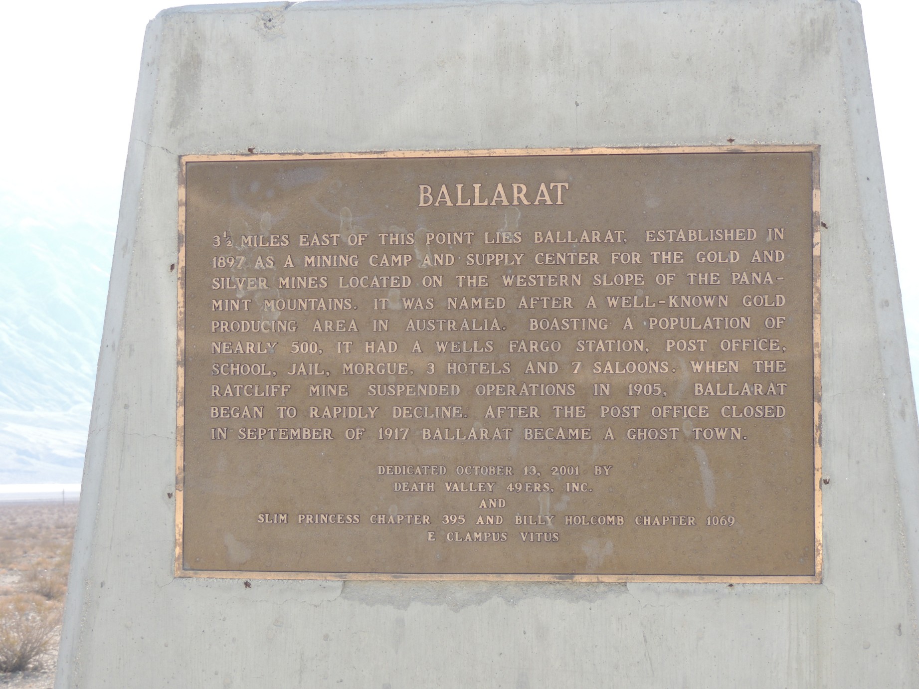
The plaque at the entrance to the Ballarat ghost town (72/100)
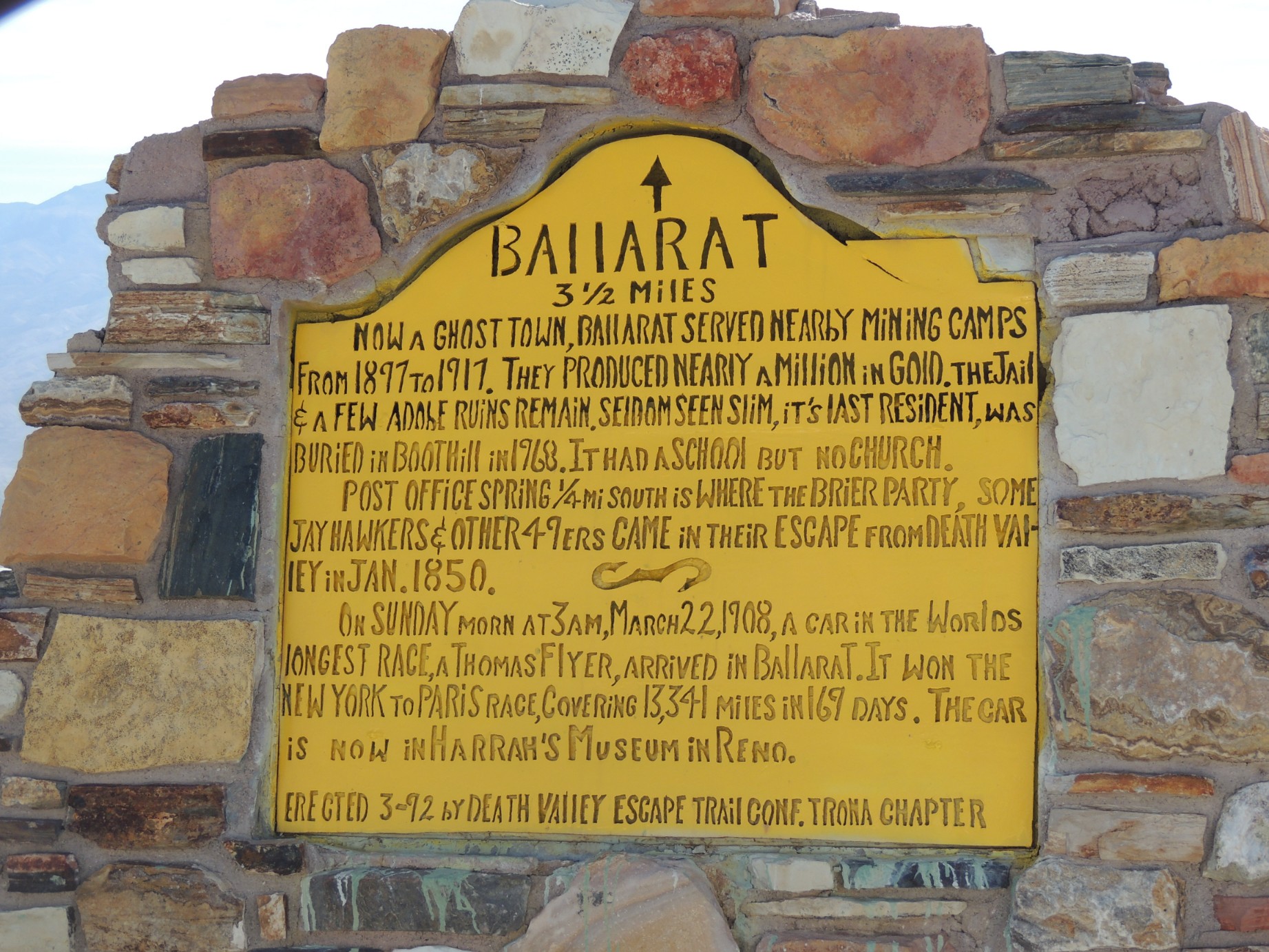
A sign about the Ballarat ghost town (73/100)
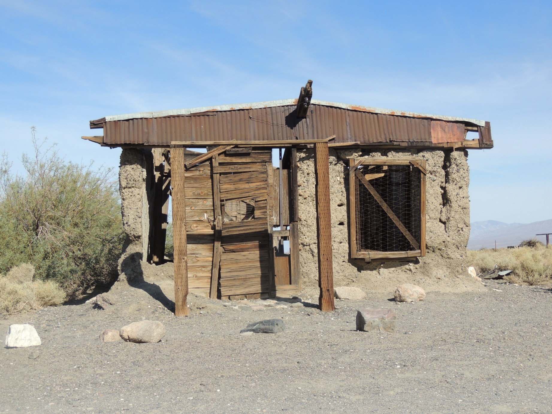
The Ballarat jail (74/100)
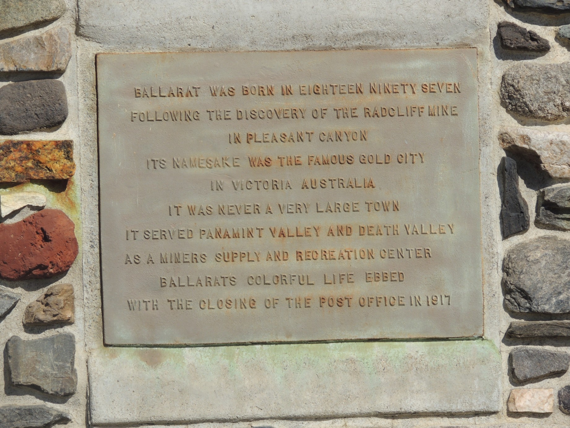
Another plaque about Ballarat (75/100)
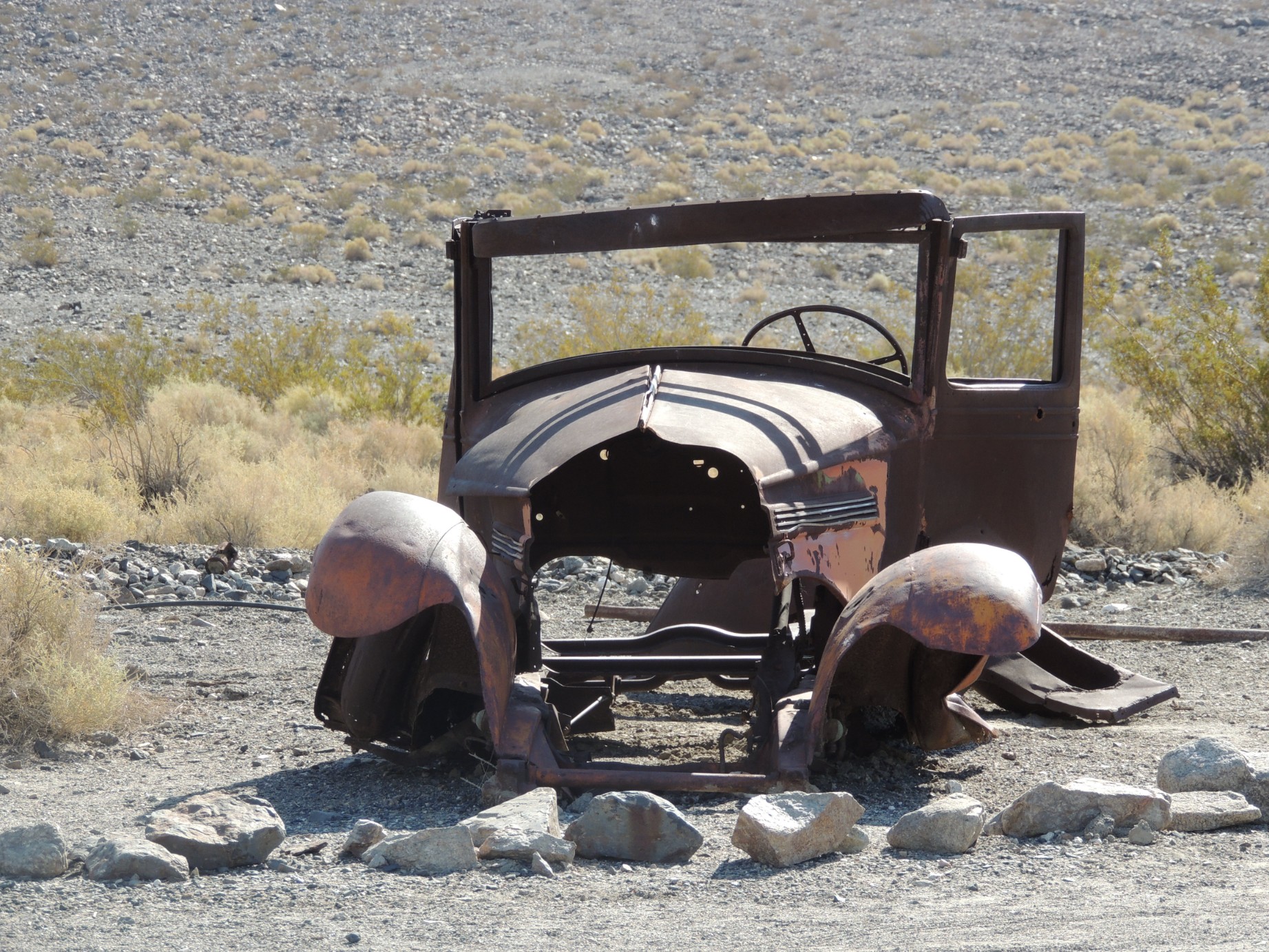
An old vehicle at Ballarat (76/100)
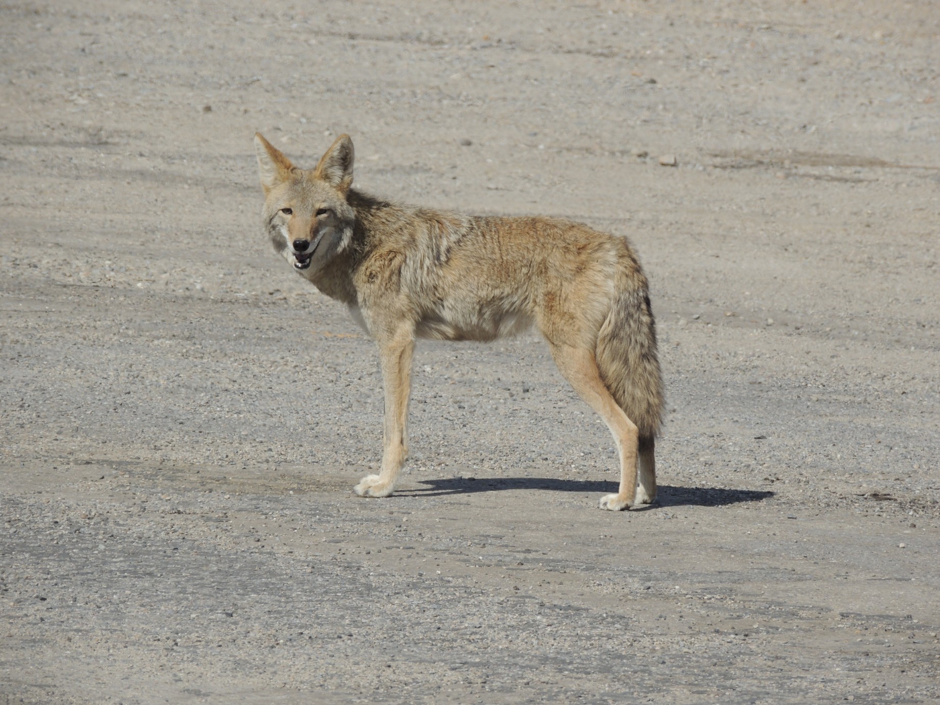
A coyote along the road in Death Valley National Park (77/100)
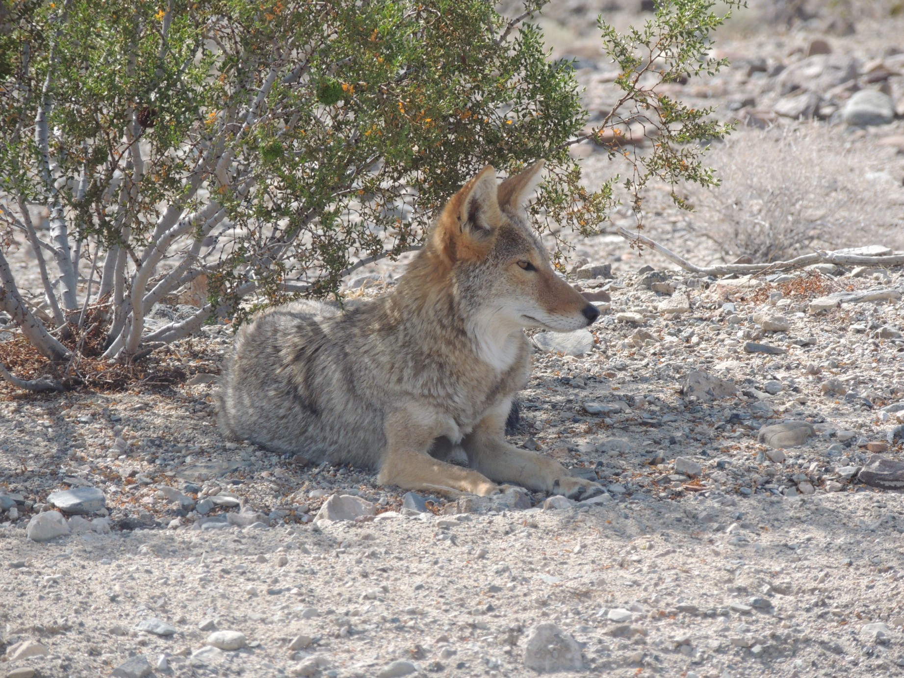
A coyote along the road in Death Valley National Park (78/100)
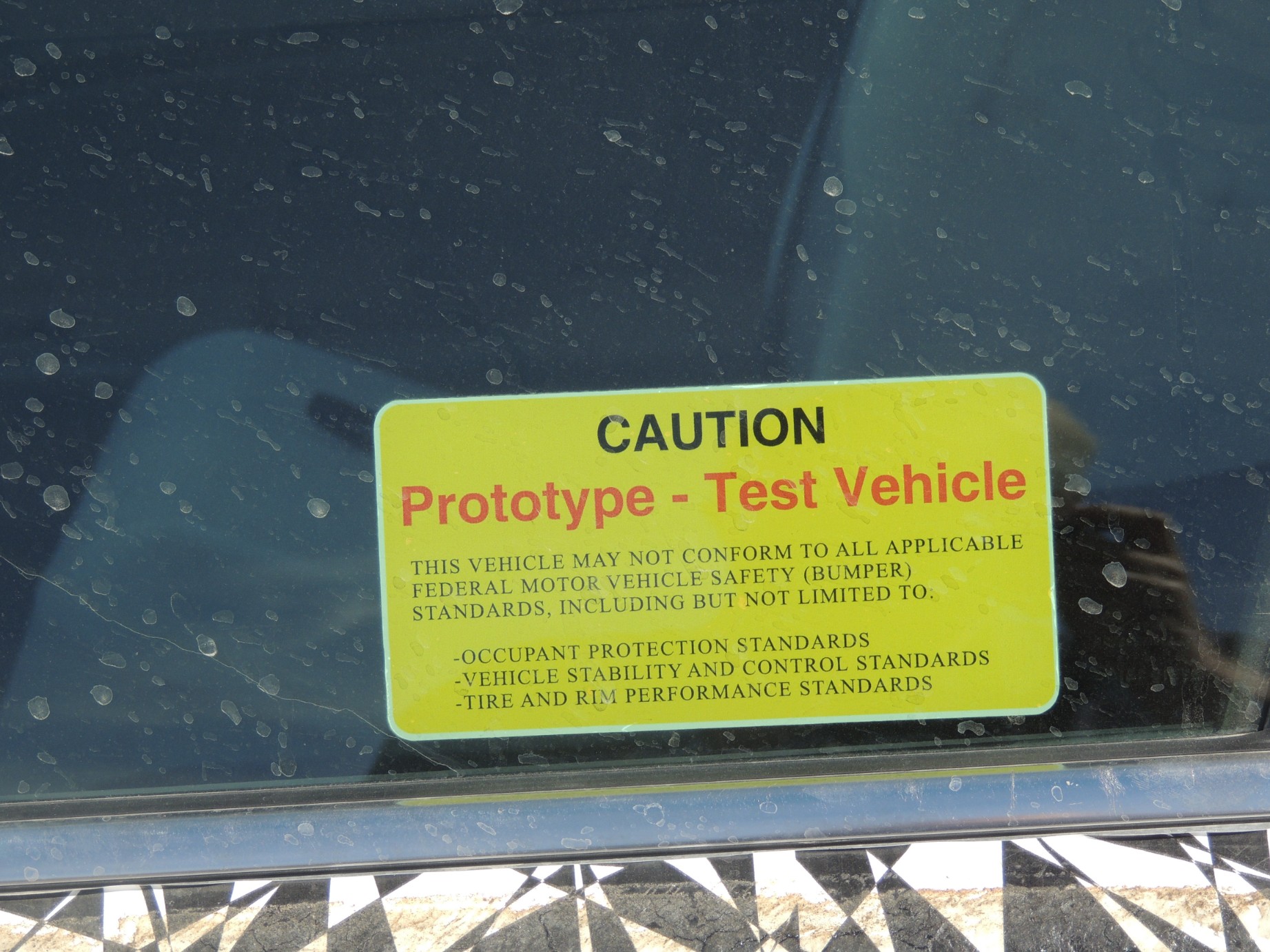
A prototype vehicle being tested in Death Valley (79/100)
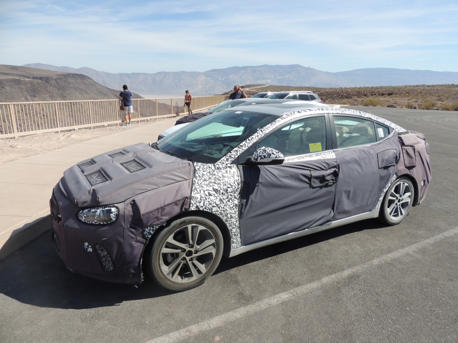
A prototype vehicle being tested in Death Valley (80/100)
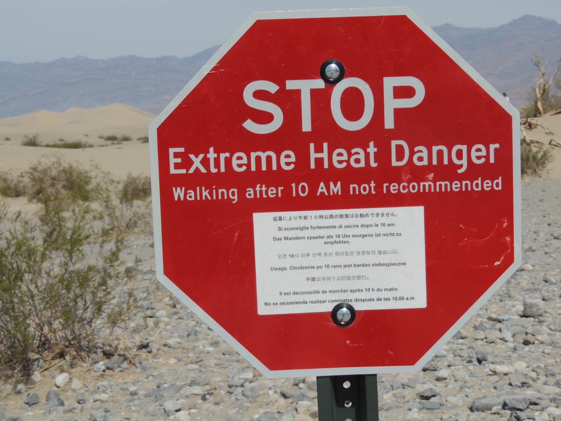
Extreme heat warning in Death Valley National Park (81/100)
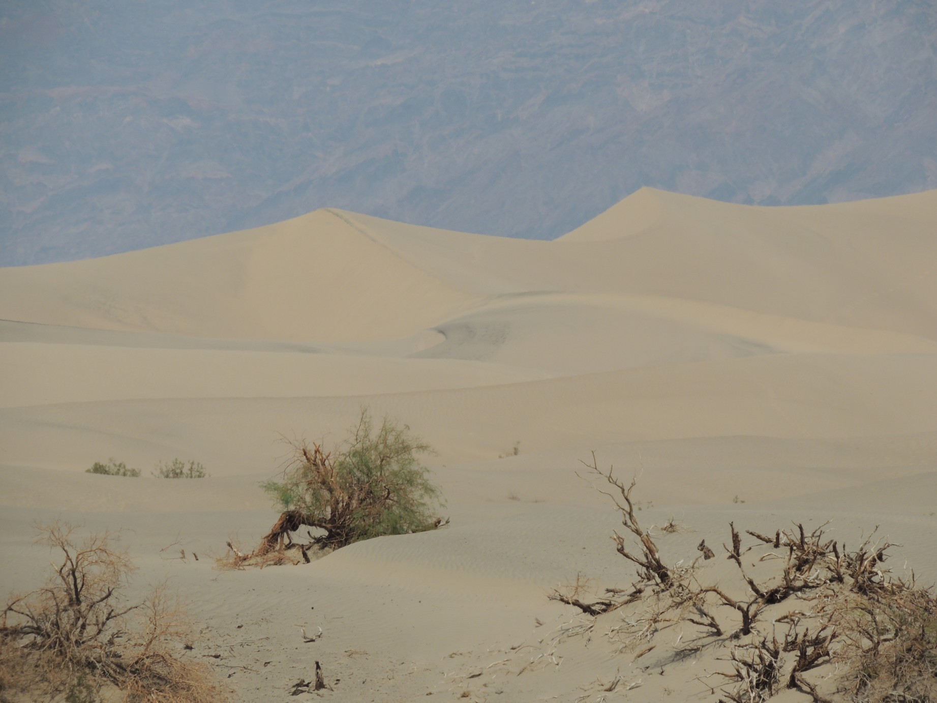
The sand dunes at Death Valley (82/100)
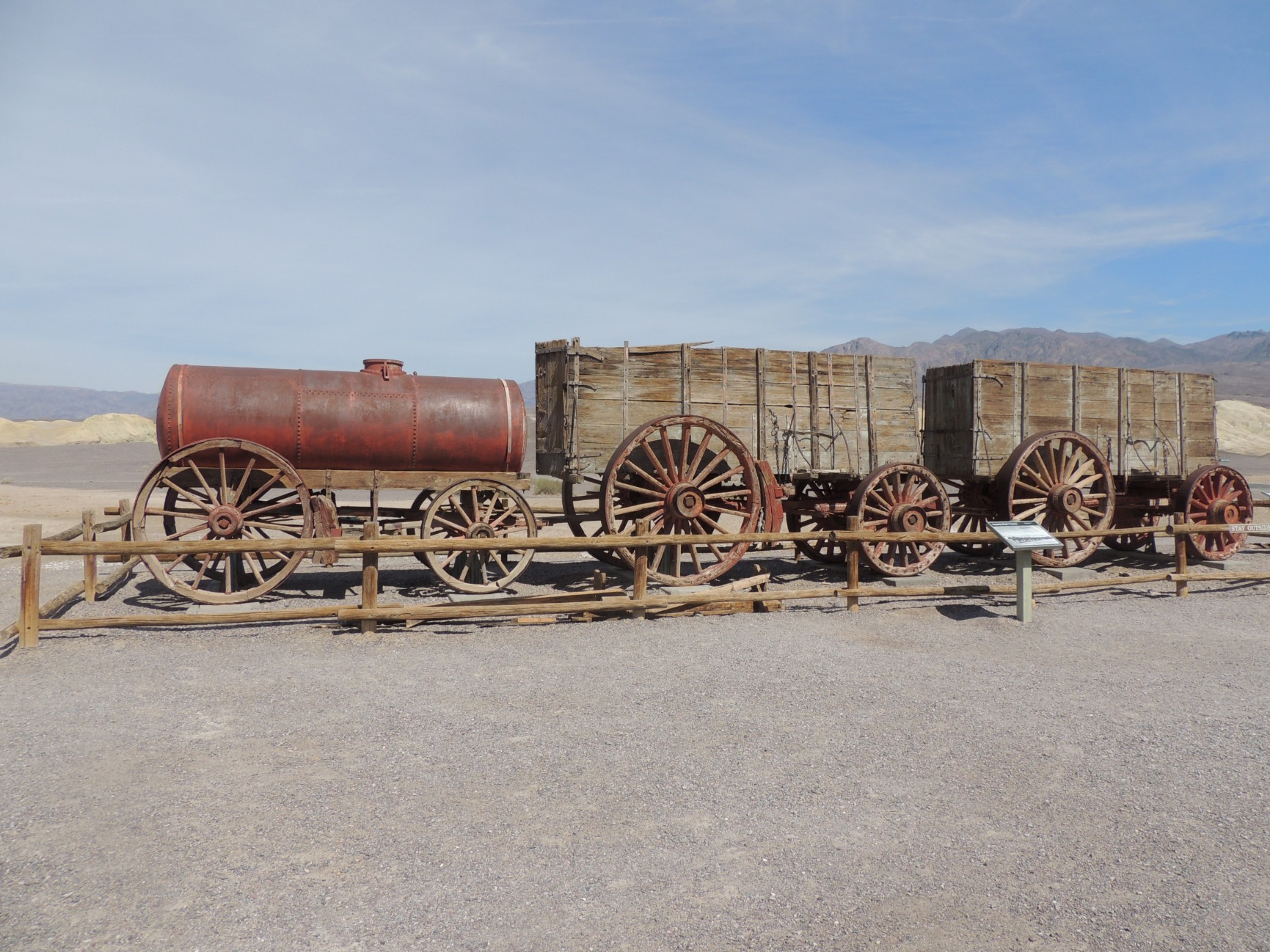
The Harmony Borax Works (83/100)
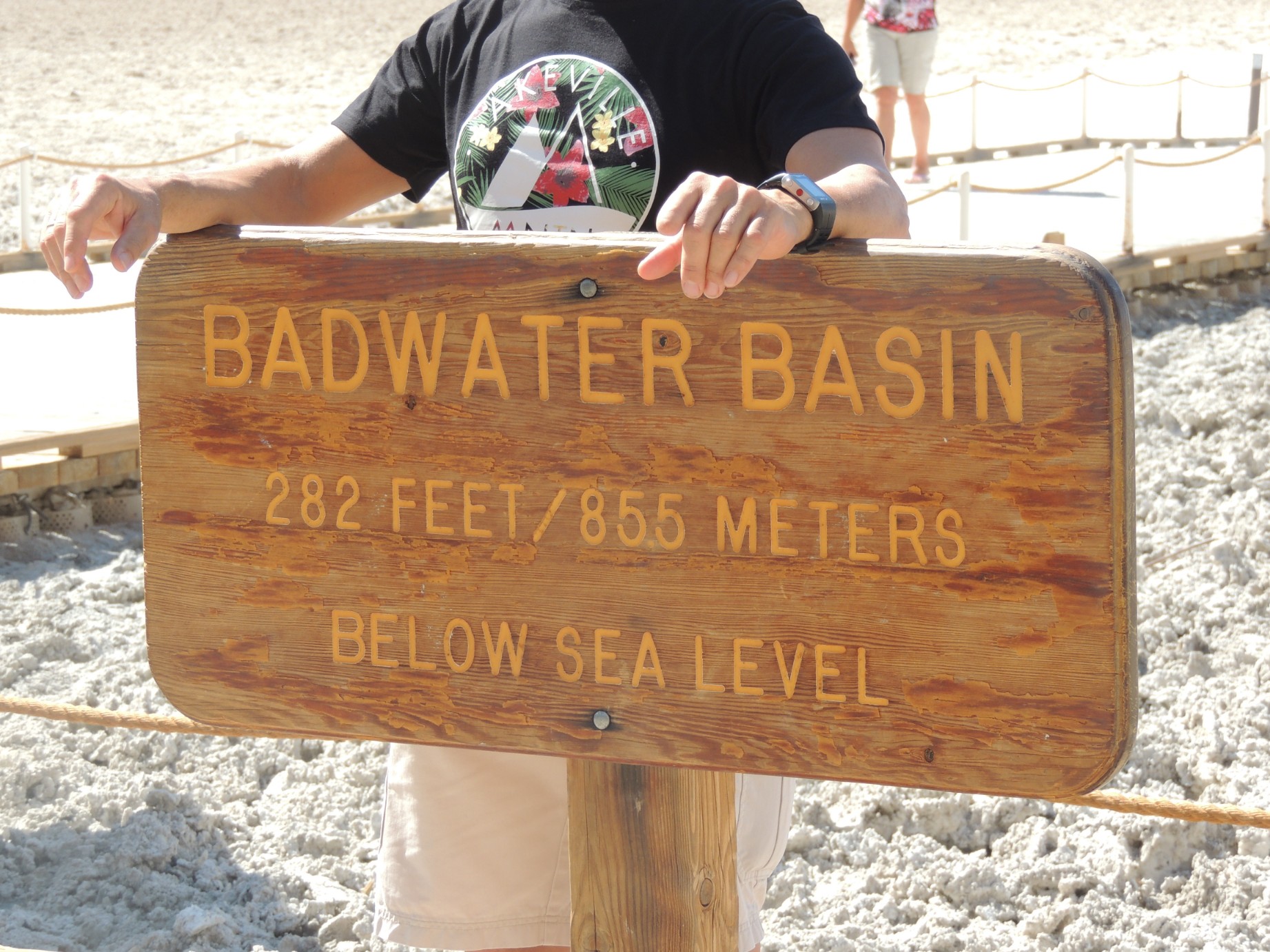
Badwater Basin, the lowest point in North America (84/100)
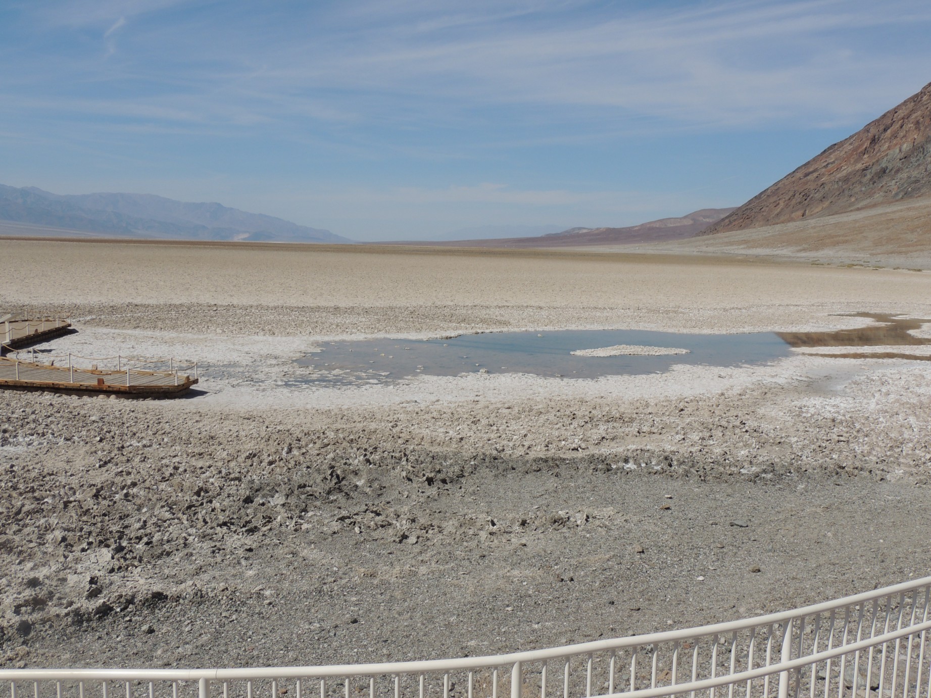
Badwater Basin, the lowest point in North America (85/100)
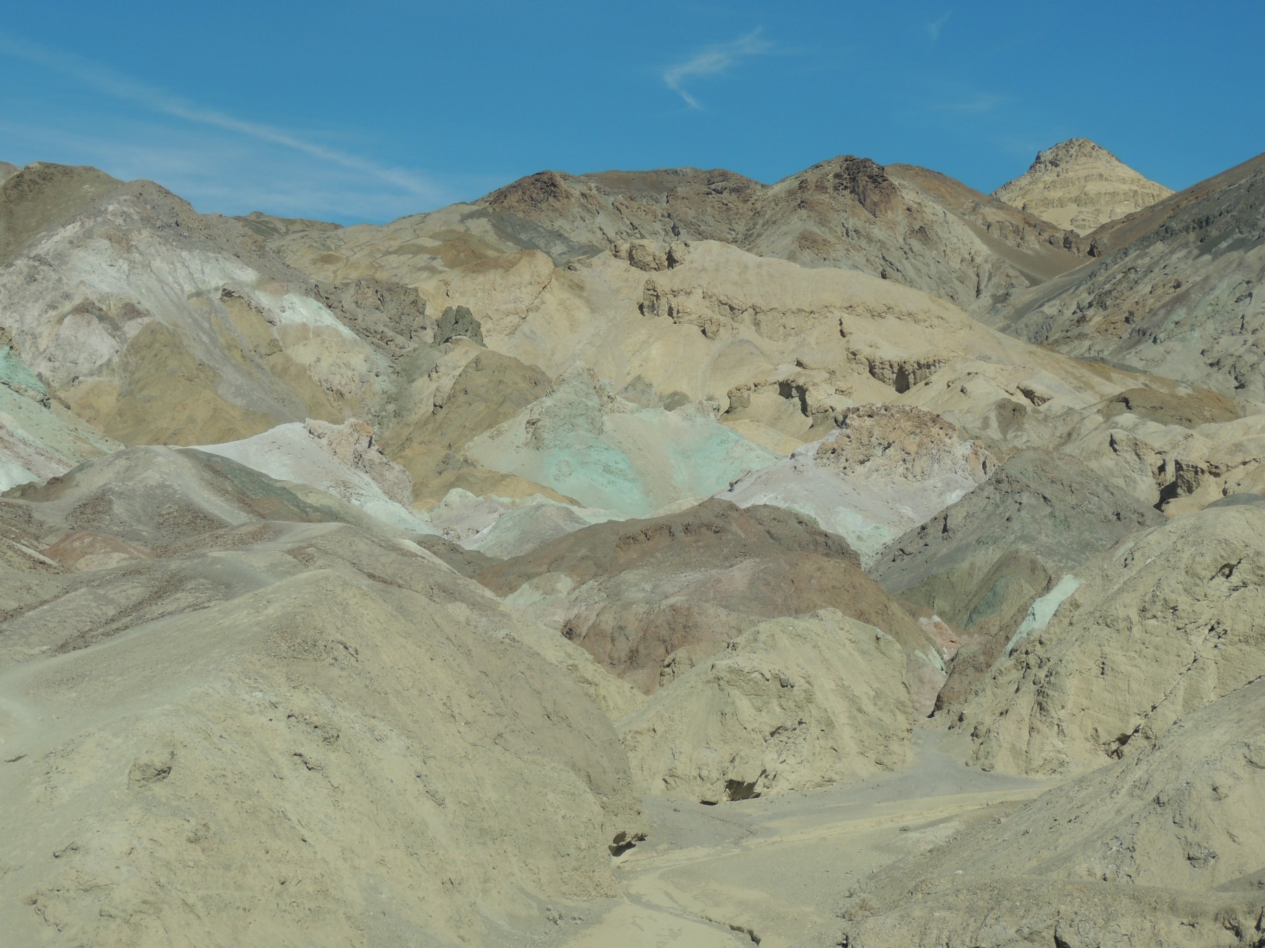
The view along Artist's Drive in Death Valley National Park (86/100)

Plaque commemorating the 1849 gold miners (87/100)
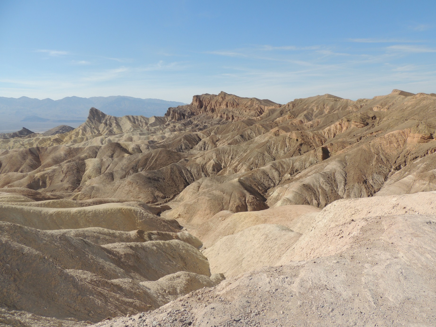
The view from Zabriske Point, Death Valley National Park (88/100)
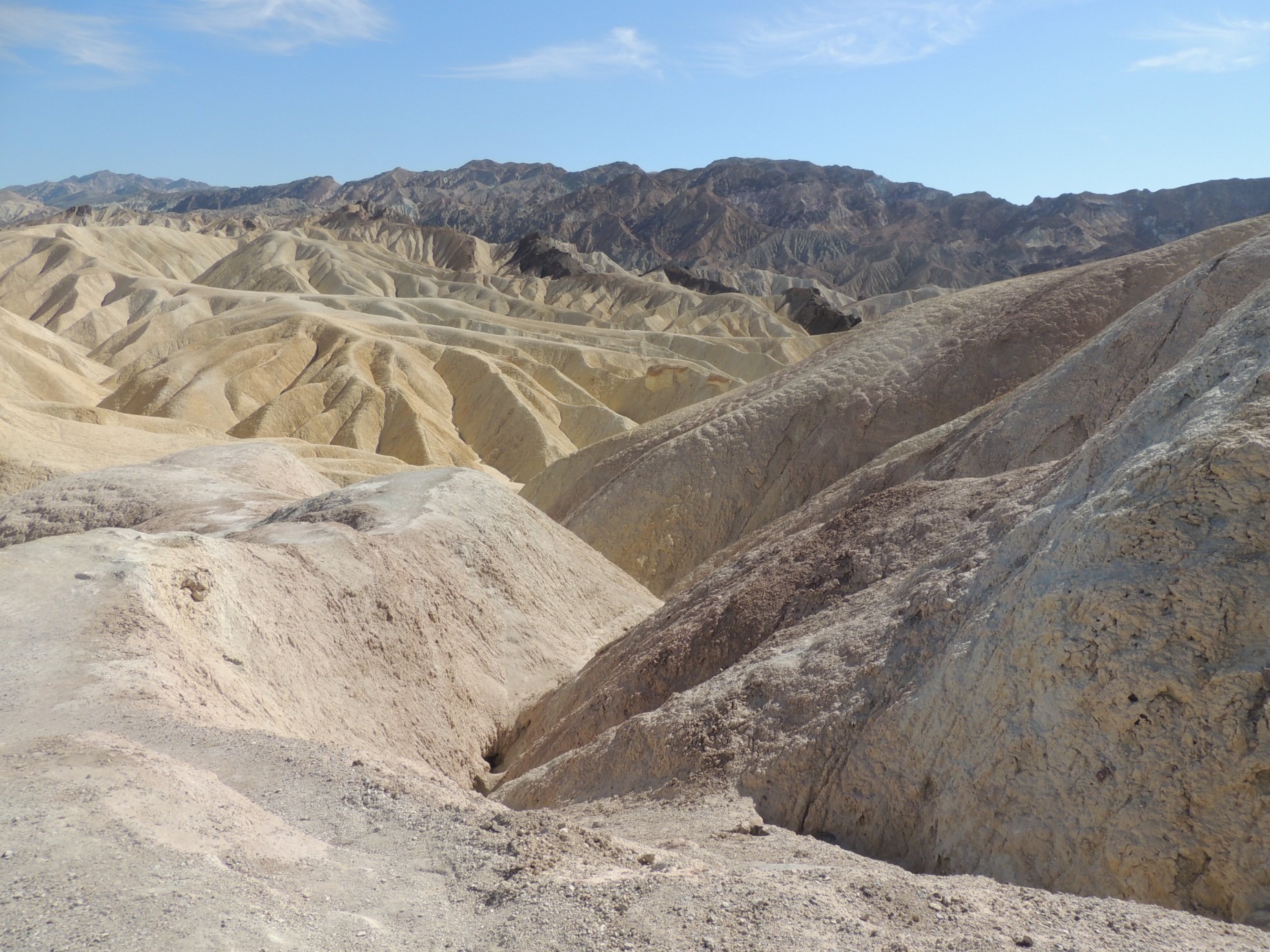
The view from Zabriske Point, Death Valley National Park (89/100)
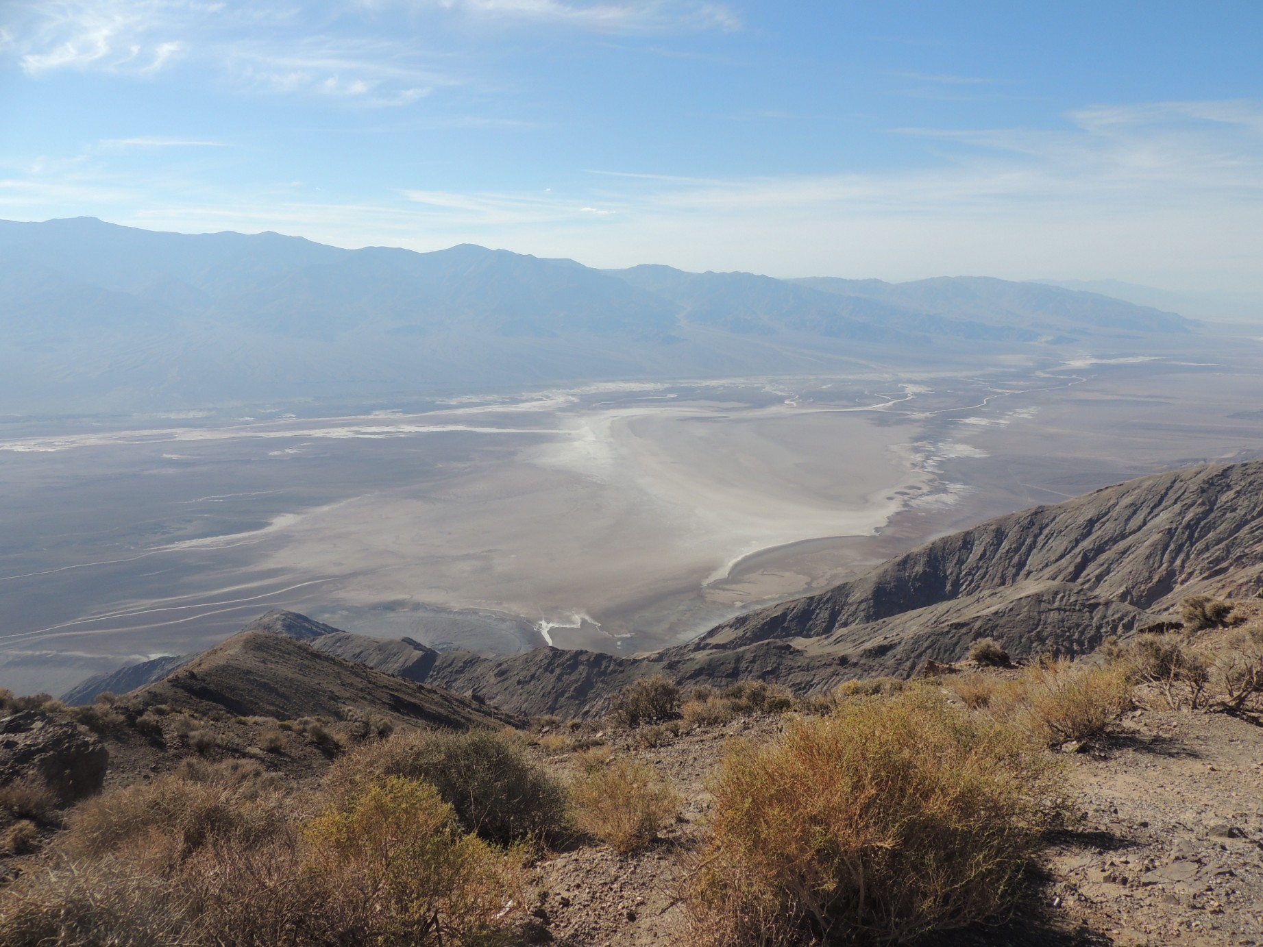
The view fro Dante's View (90/100)
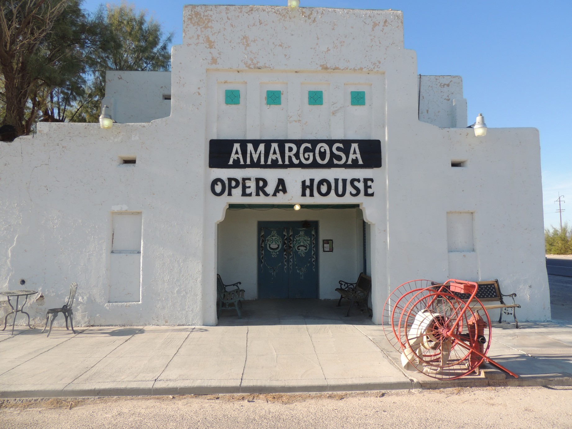
The Amargosa Opera House in Death Valley Junction, California (91/100)
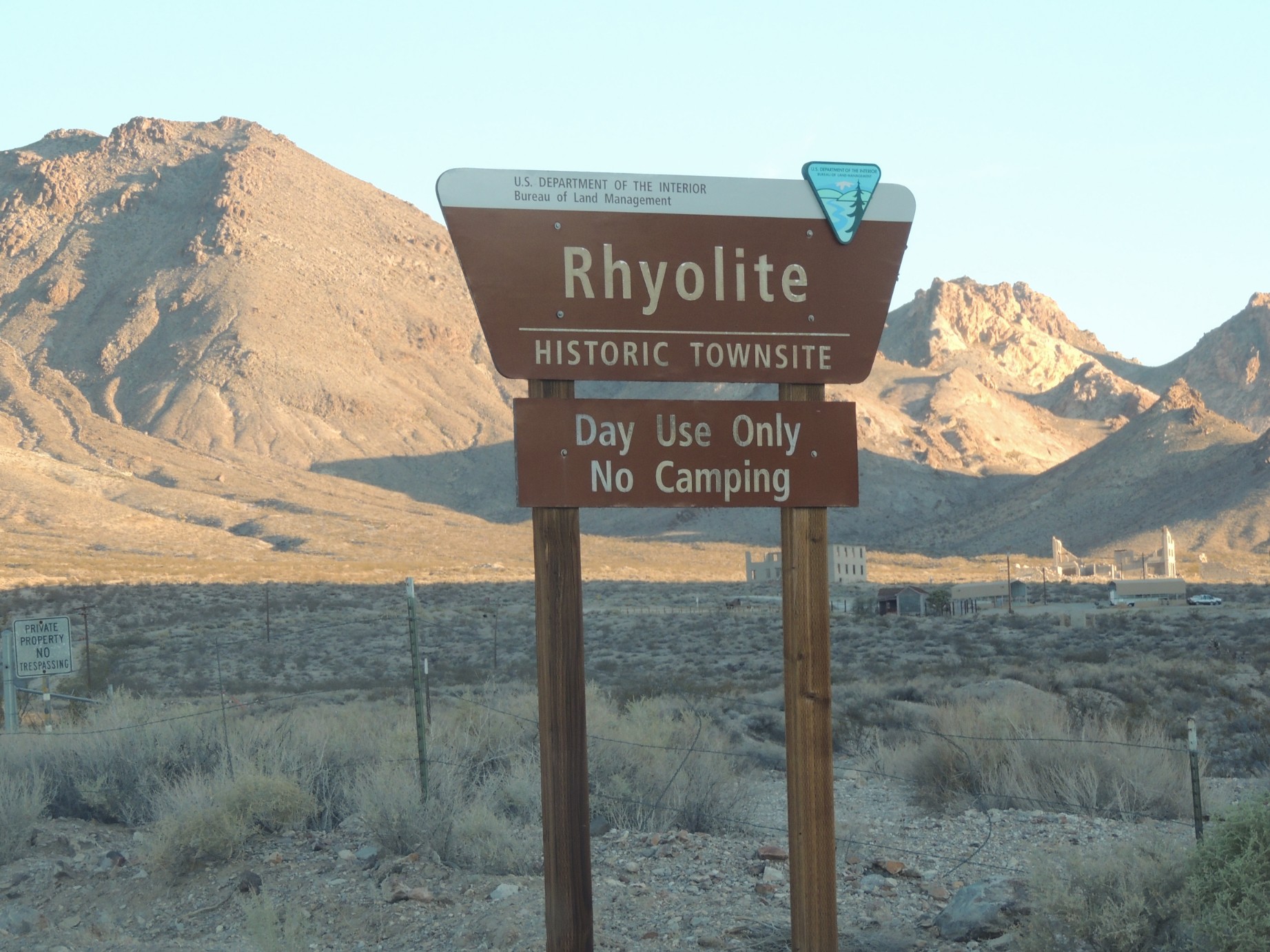
Sign at the entrance to the ghost town of Rhyolite California (92/100)
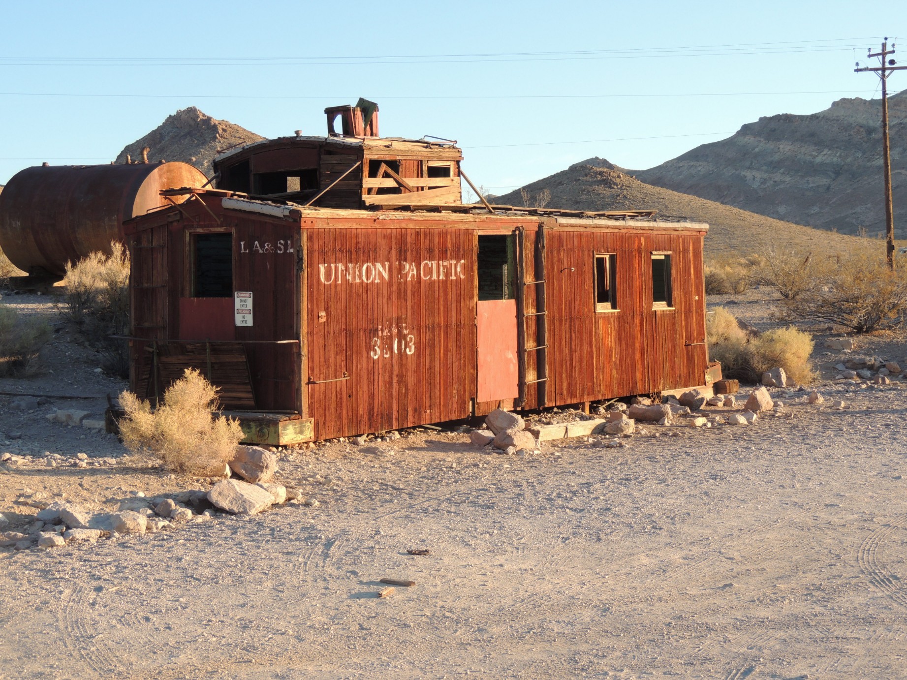
An abondoned caboose at Rhyolite (93/100)
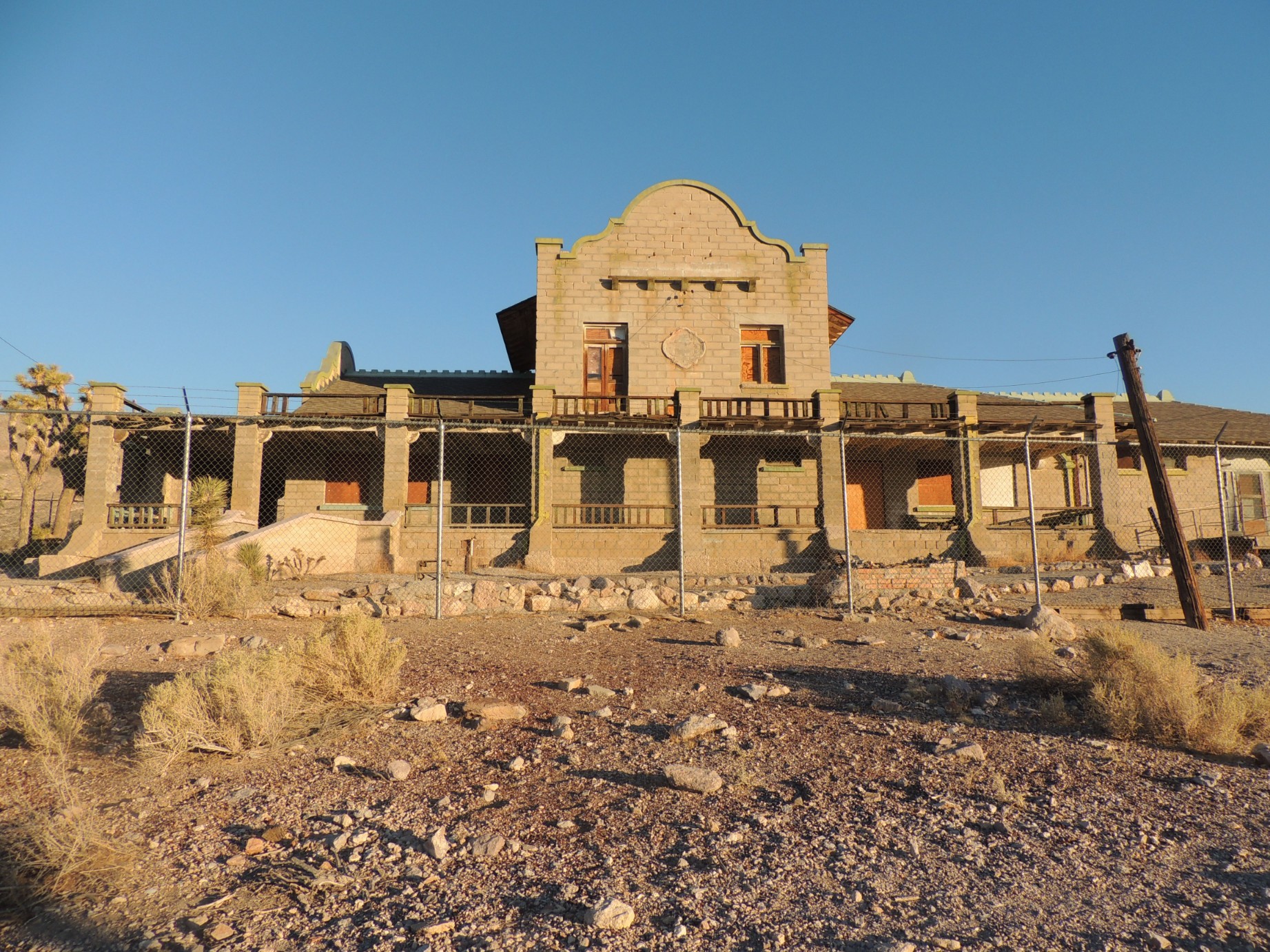
The old train station at Rhyolite (94/100)
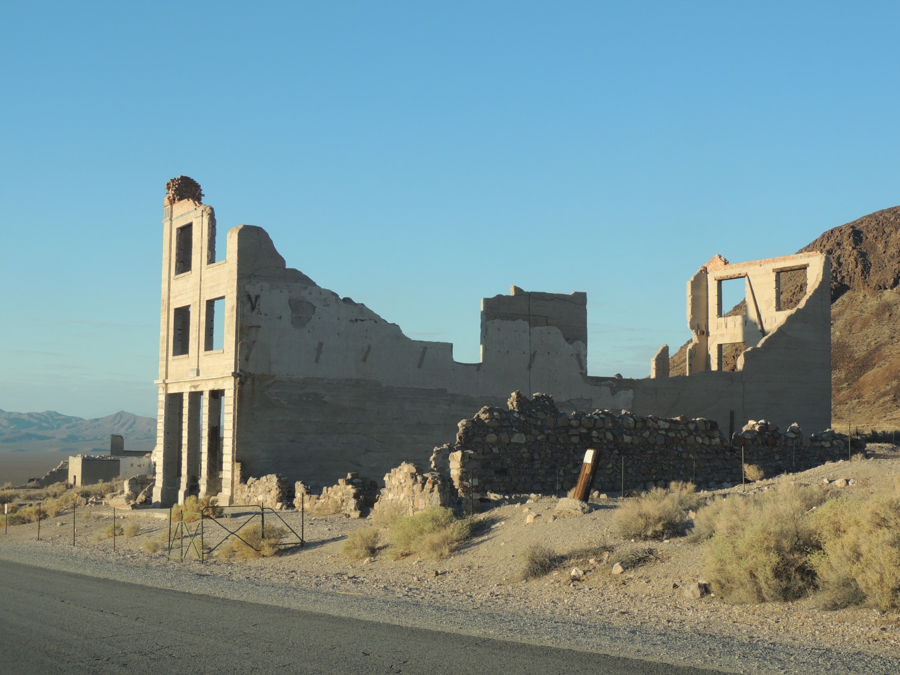
The remians of the Rhyolite bank (95/100)
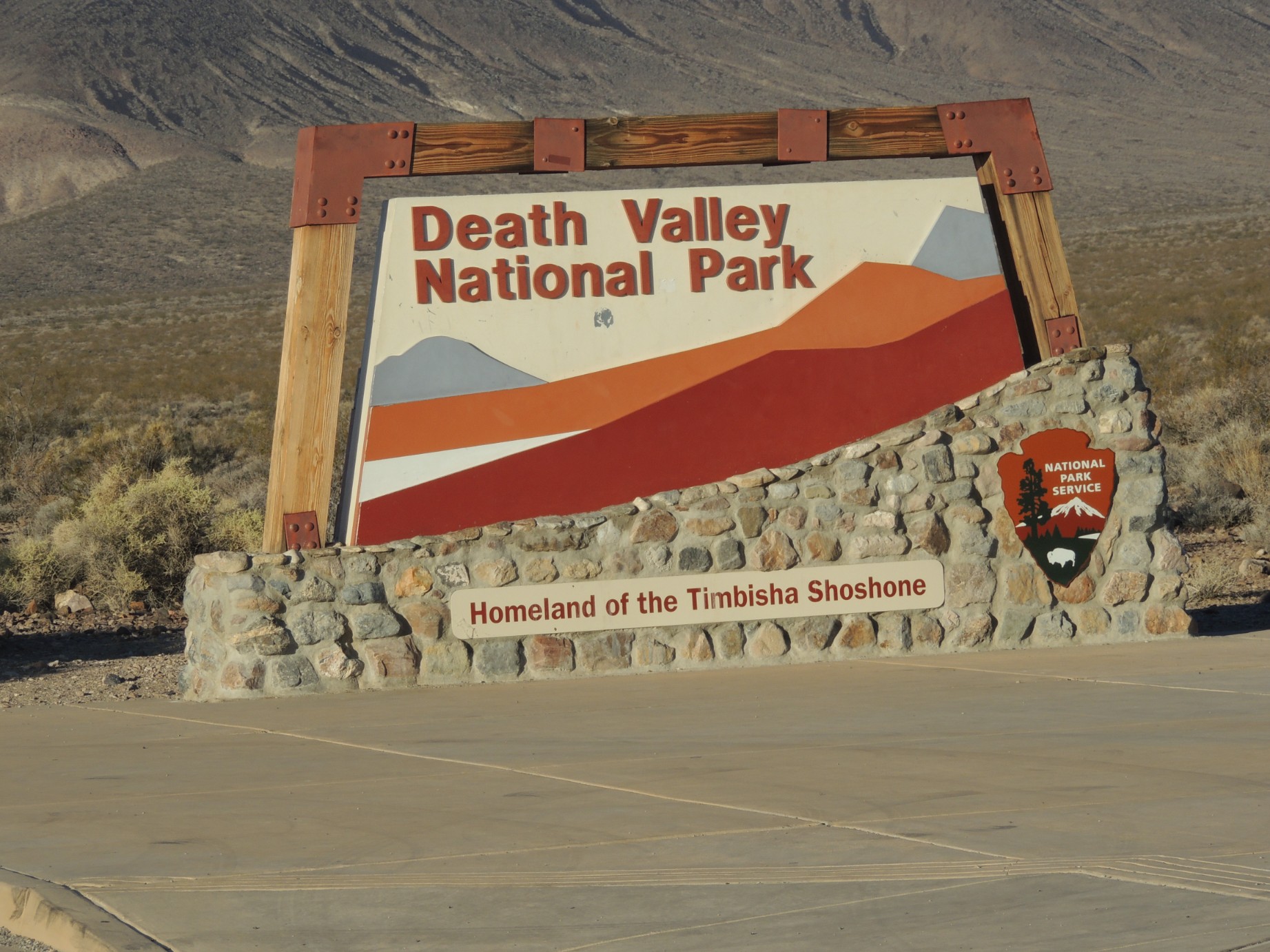
The entrance sign to Death Valley National Park (96/100)
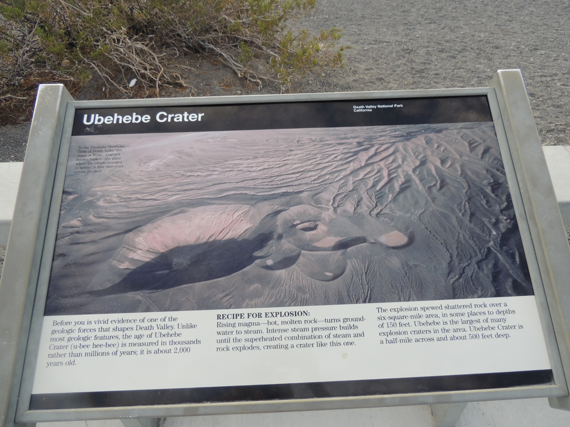
Sign describing the Ubehebe Crater (97/100)
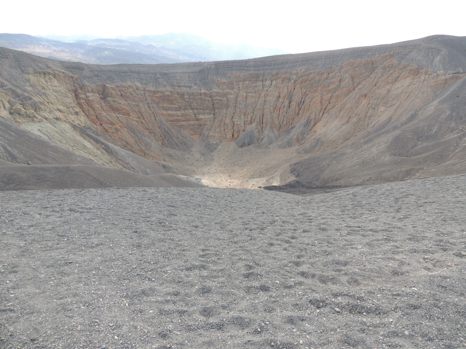
The Ubehebe Crater (98/100)
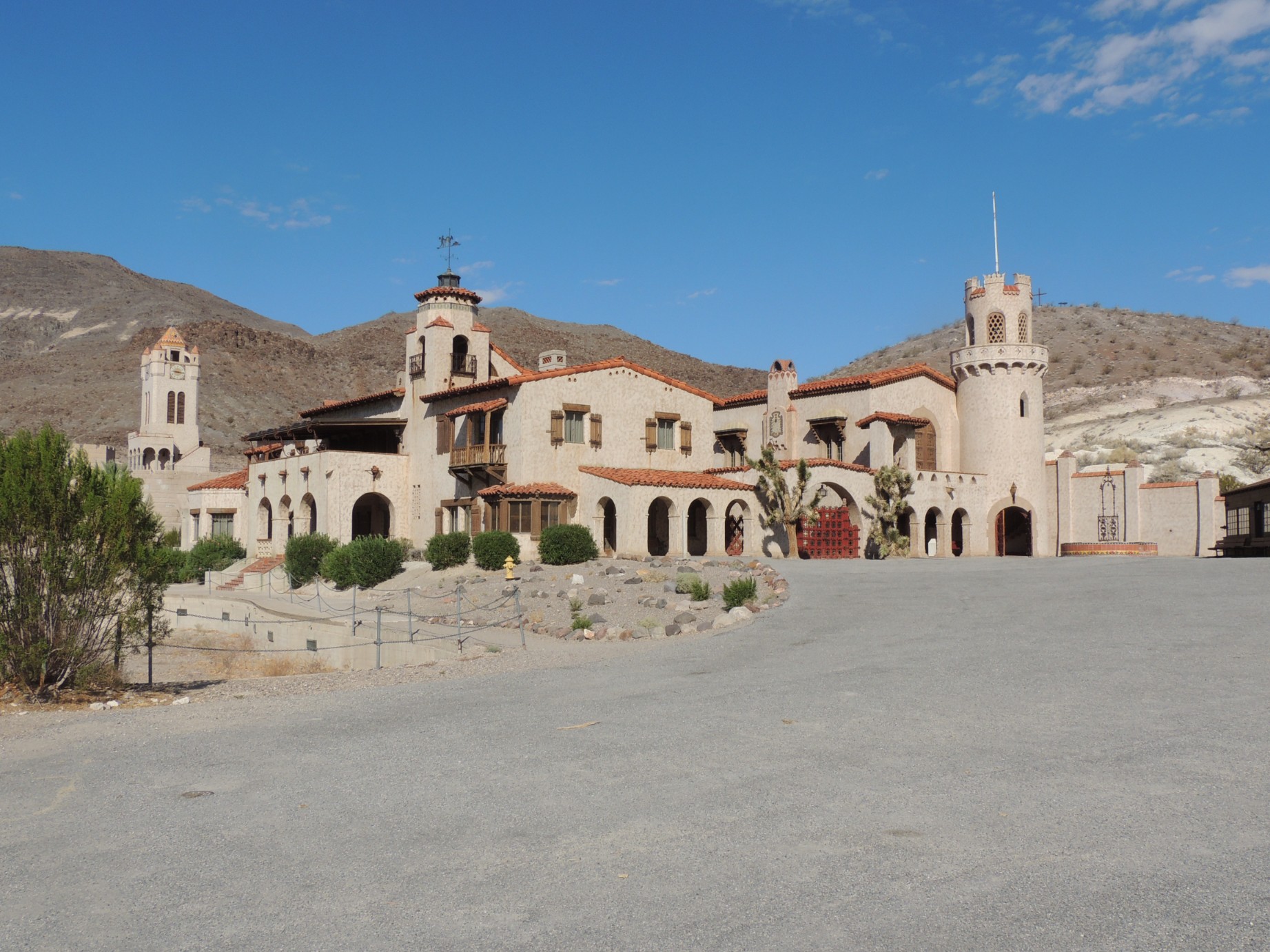
Scotty's Castle in Death Valley National Park (99/100)
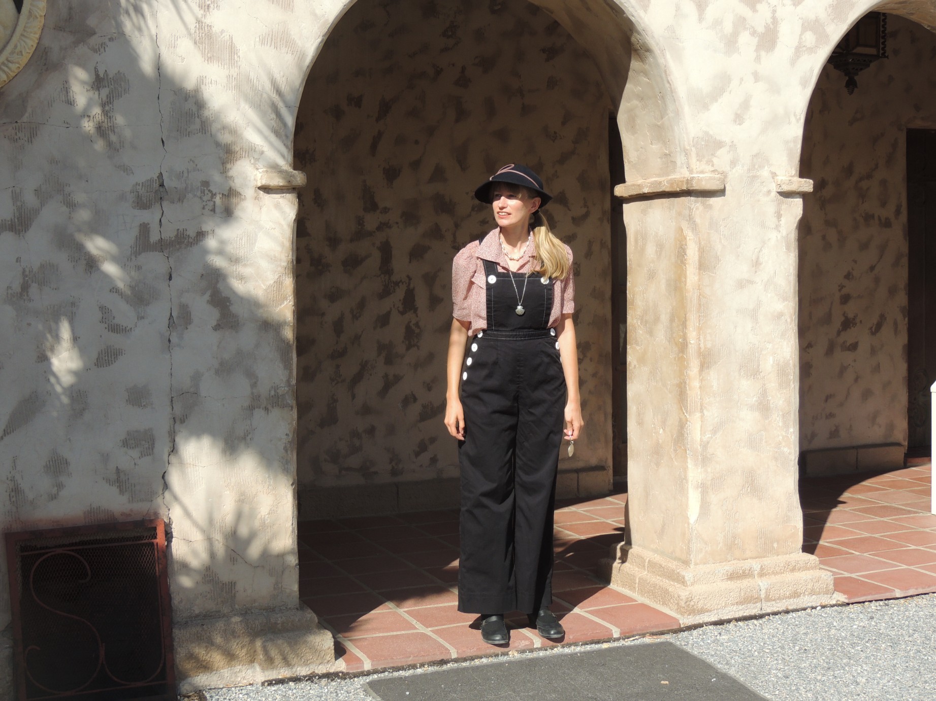
A guide preparing to start a tour of Scotty's Castle (100/100)