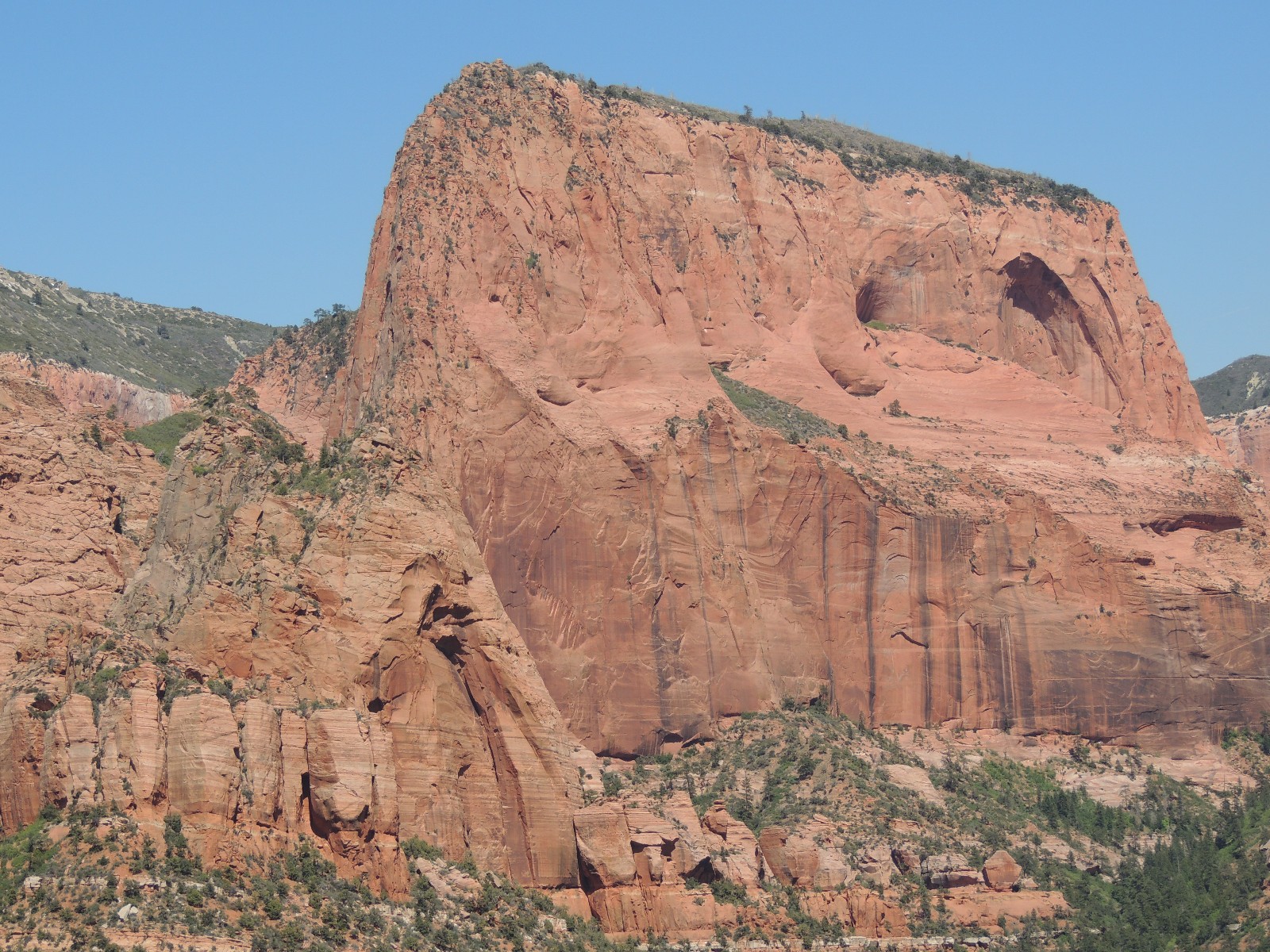
Nagunt Mesa, Kolob Canyon, Zion National Park (1/125)
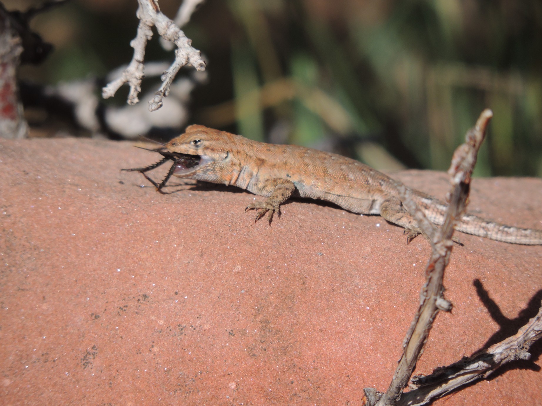
Meal time, Kolob Canyon, Zion NP (2/125)
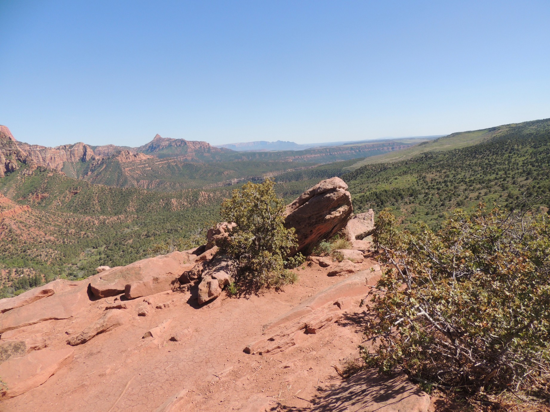
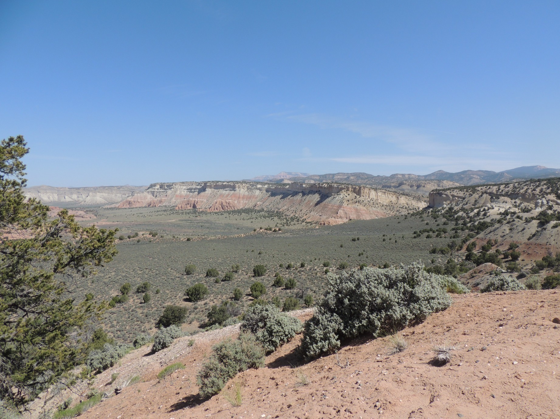
View from the Timber Creek Overlook Trail, Kolob Canyon, Zion NP (3/125)
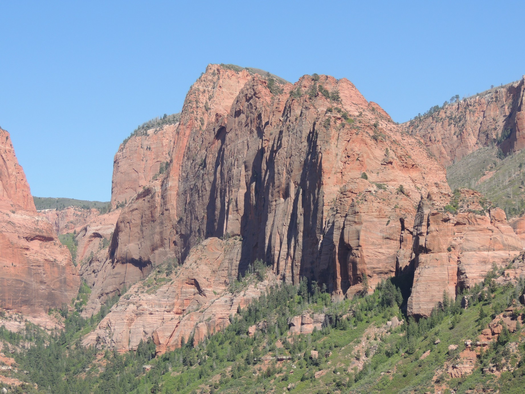
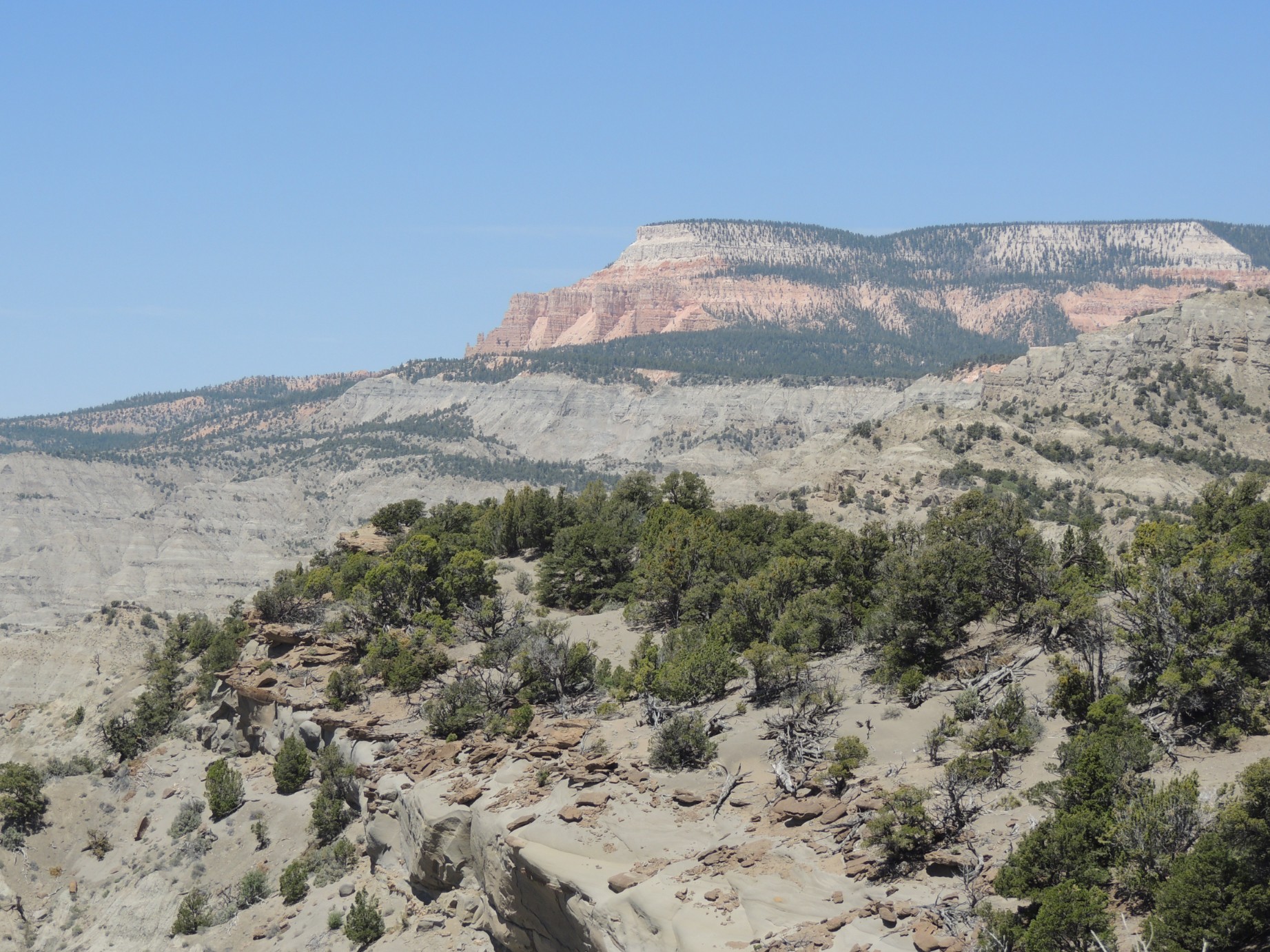
Kolob Canyon, Zion National Park (4/125)
Angels Landing as seen from below, Zion NP (5/125)
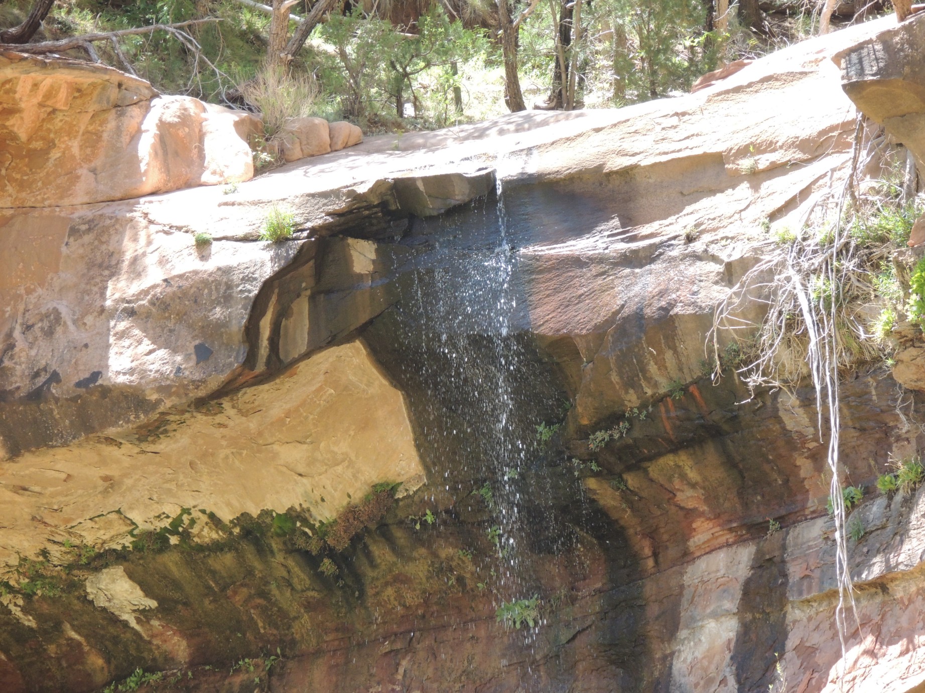
Waterfall seen from the Emerald Pool Trail (6/125)
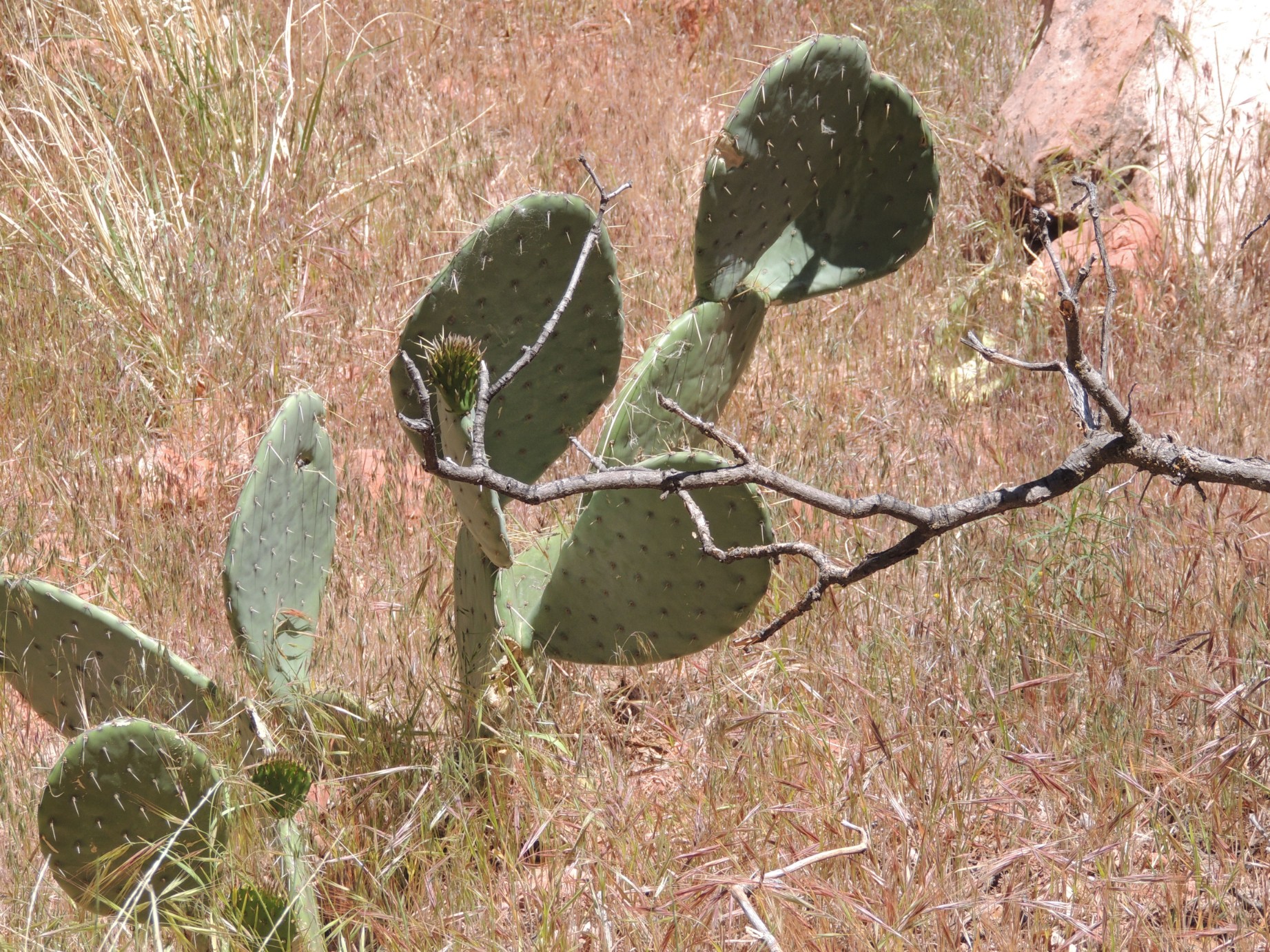
Cactus in Zion Canyon (7/125)
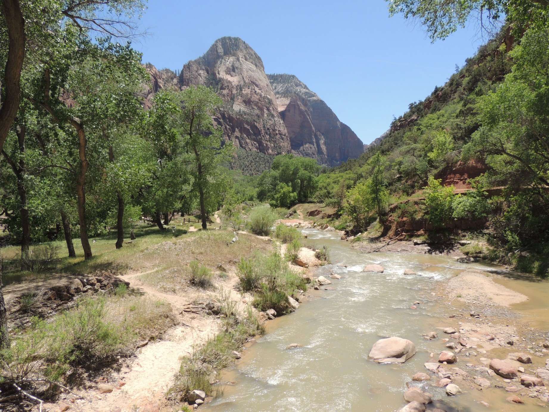
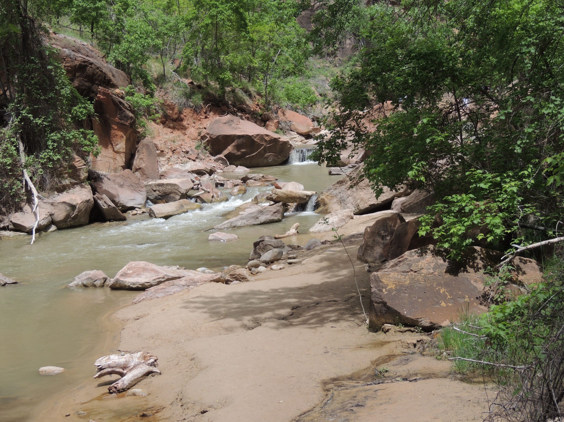
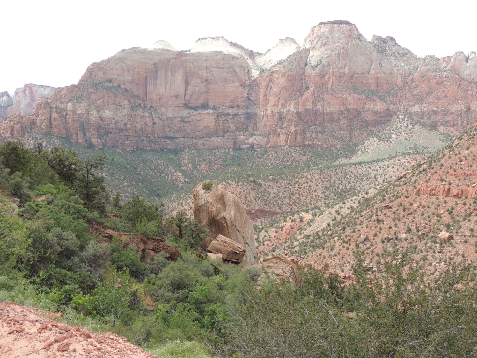
Along the North Fork Virgin River in Zion National Park (8/125)
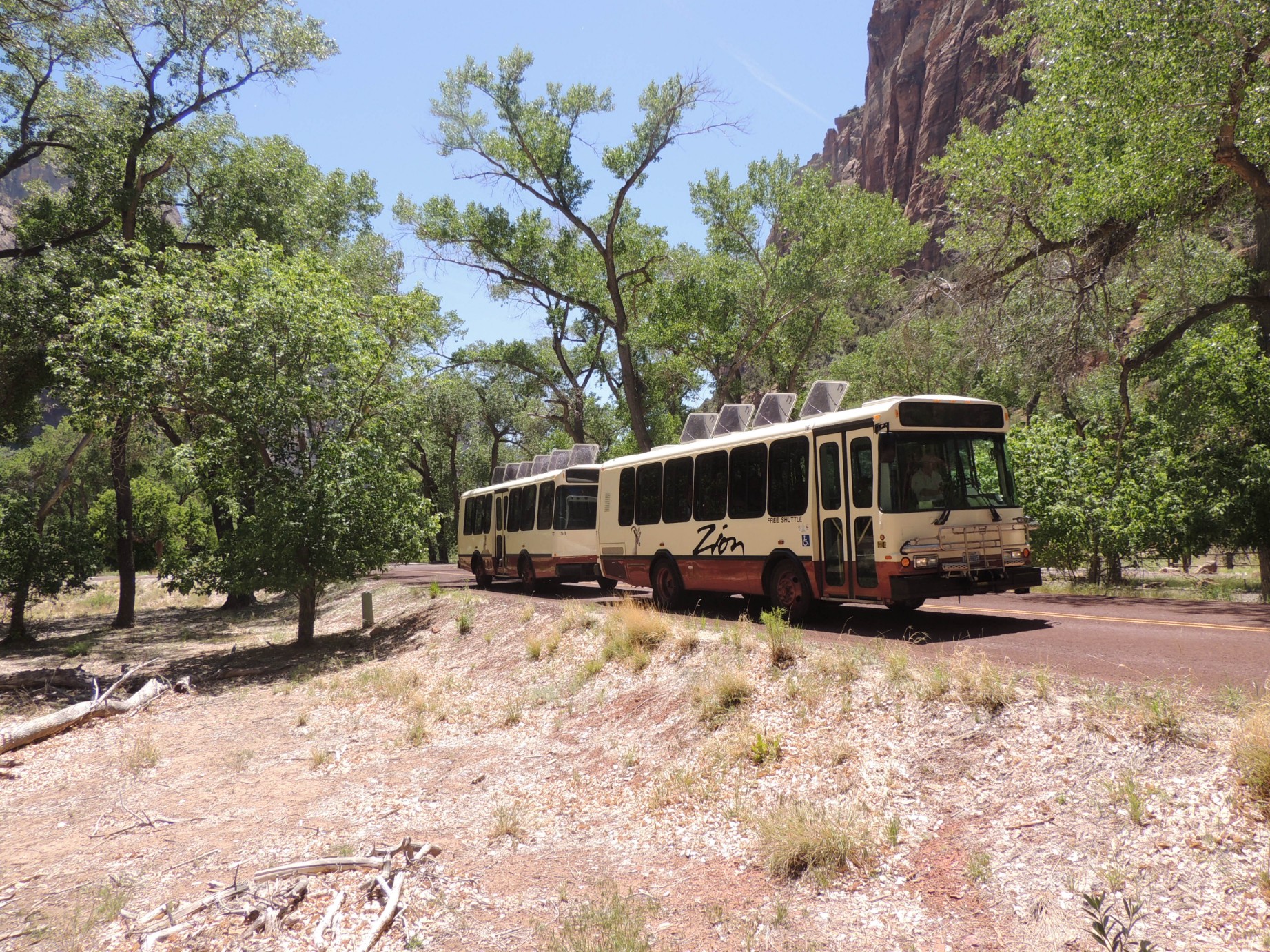
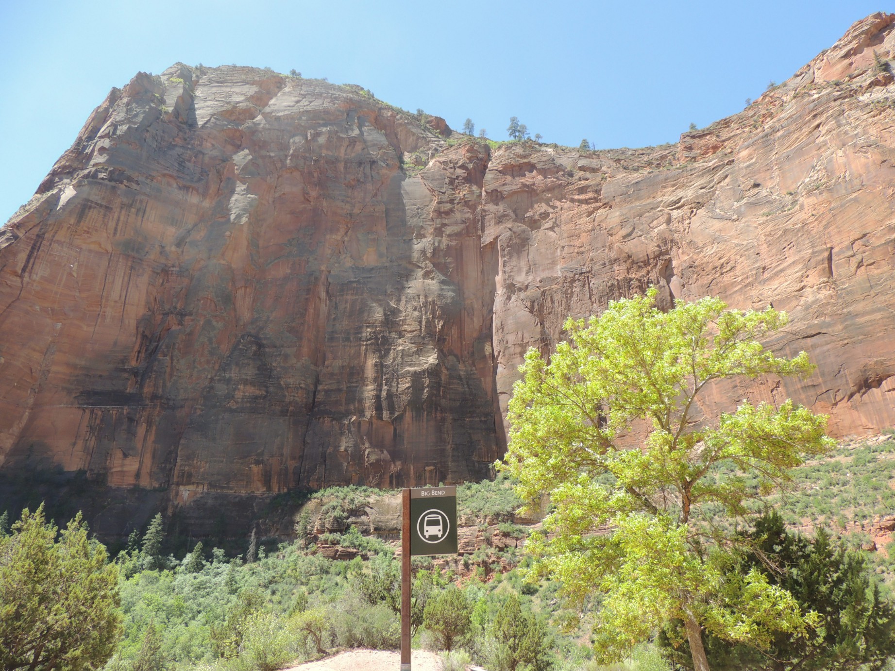
Buses transport tourist where cars are not permitted in Zion NP (9/125)
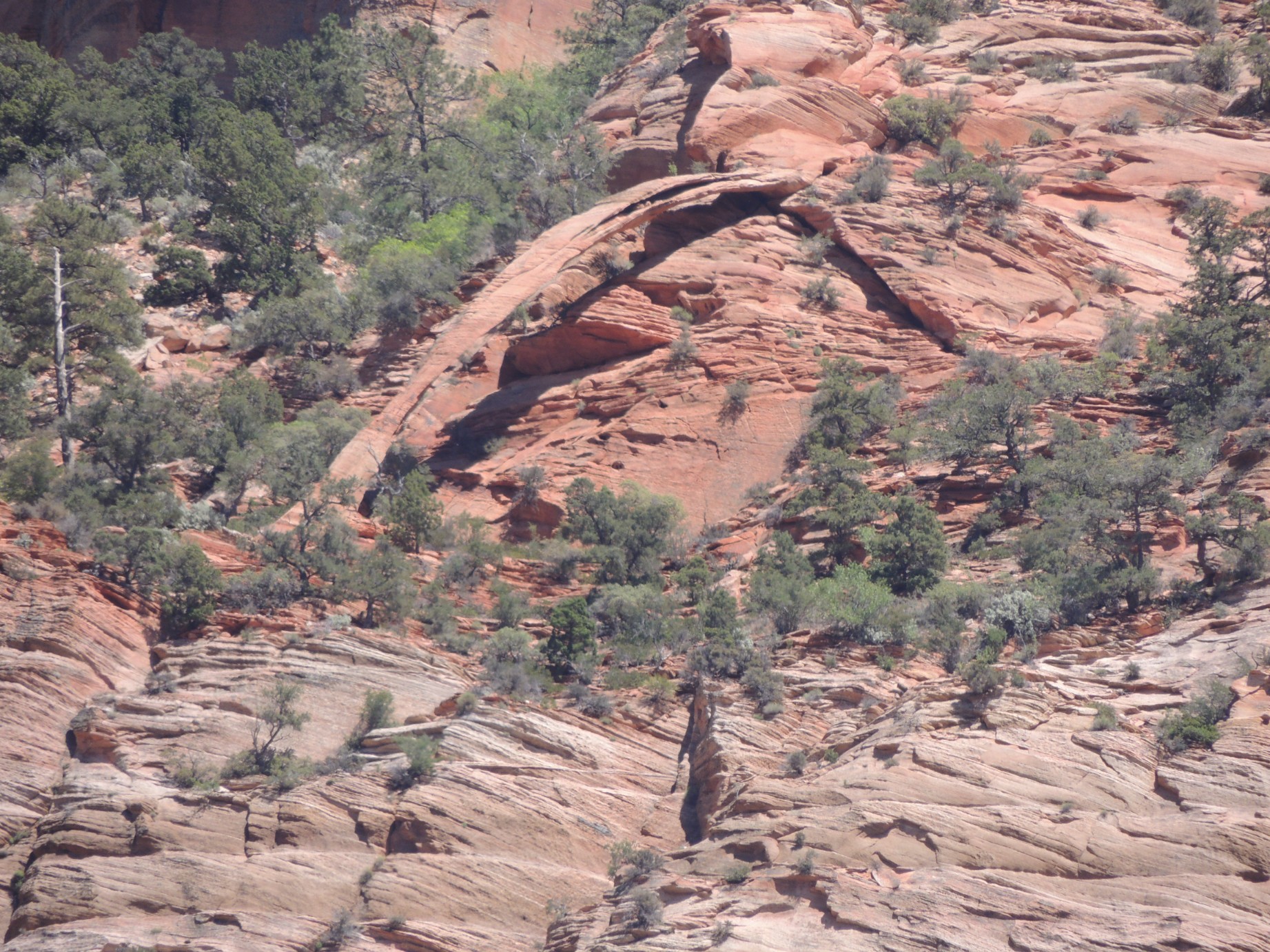
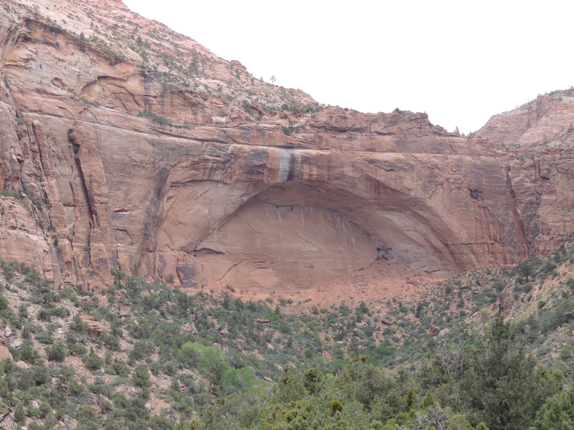
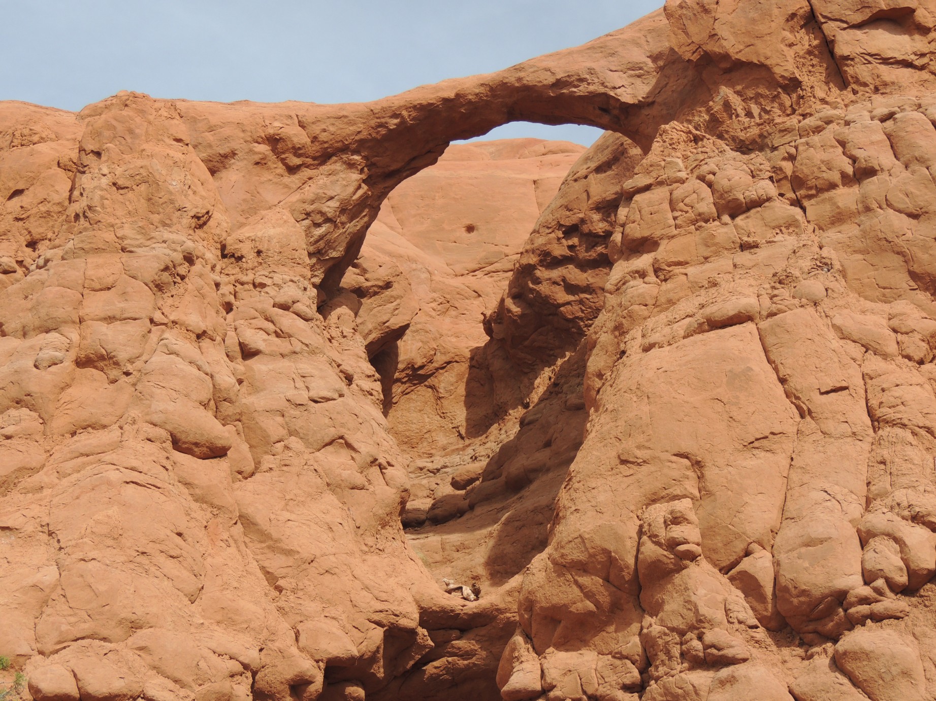
Bridge Mountain Arch, Zion National Park (10/125)
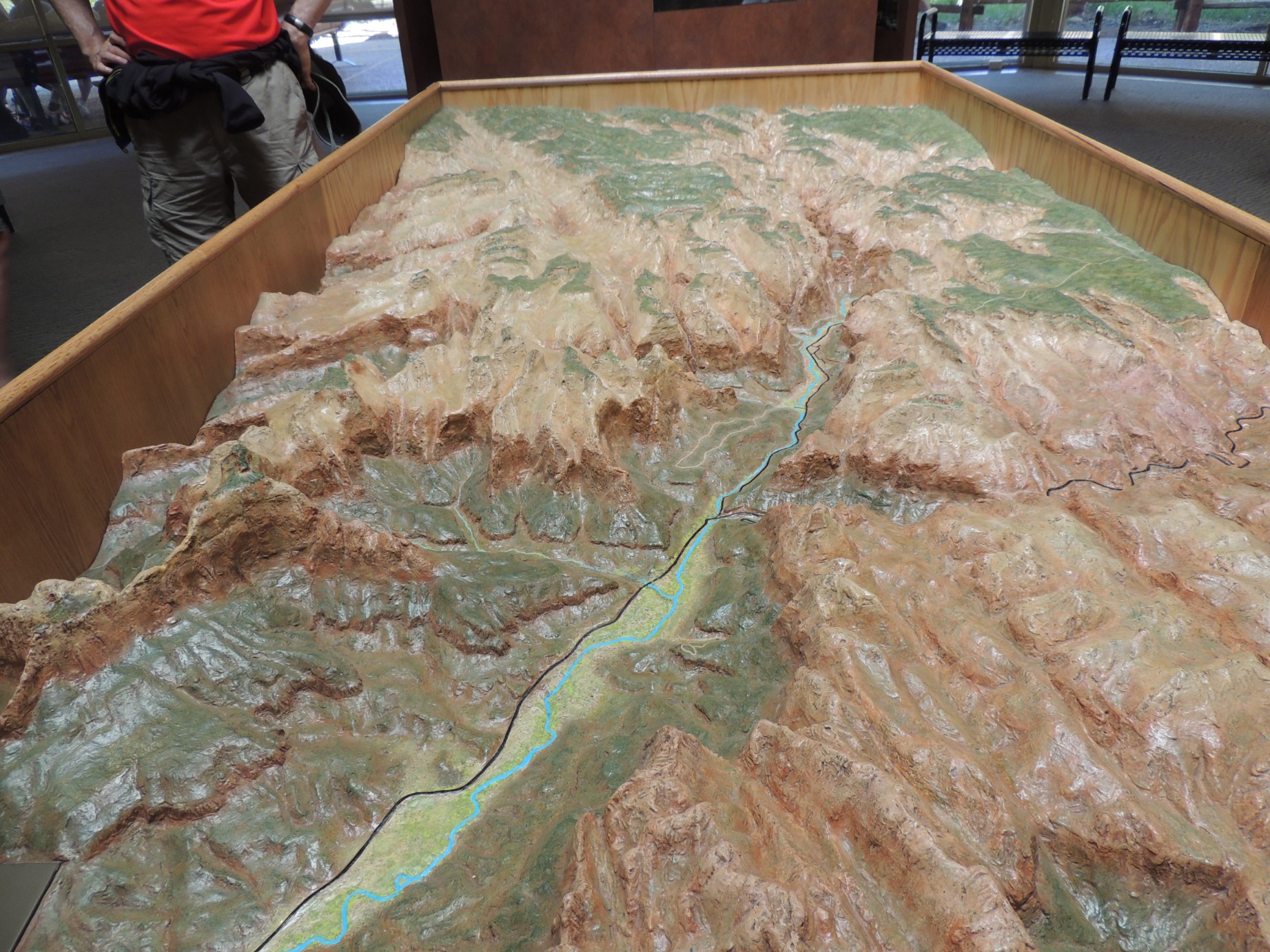
3 dimensional map inside the Visitors Center (11/125)
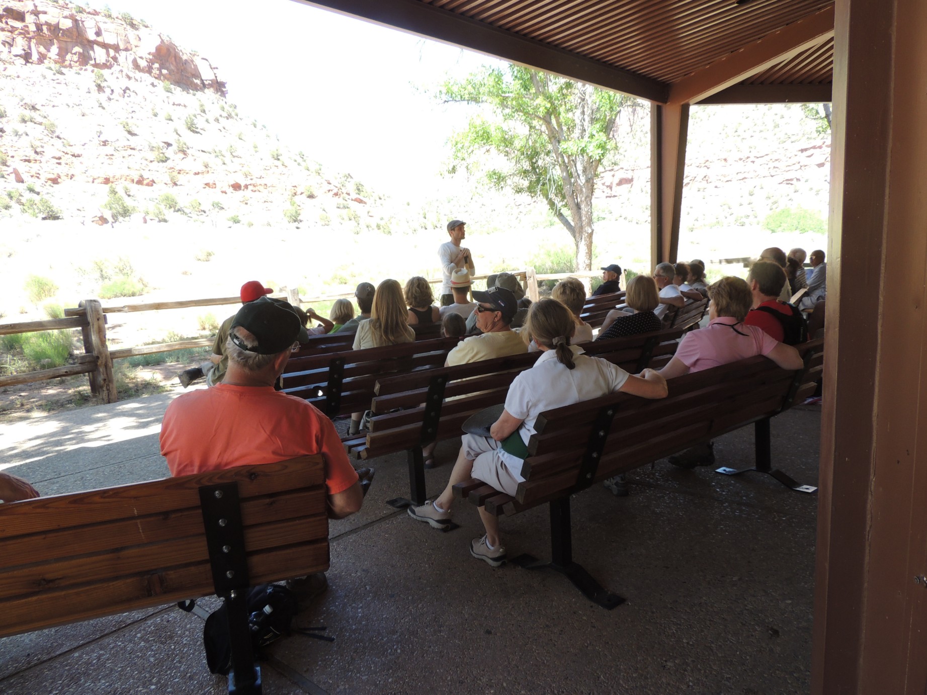
Park Ranger leading a discussion at the Zion Park Visitors Center (12/125)
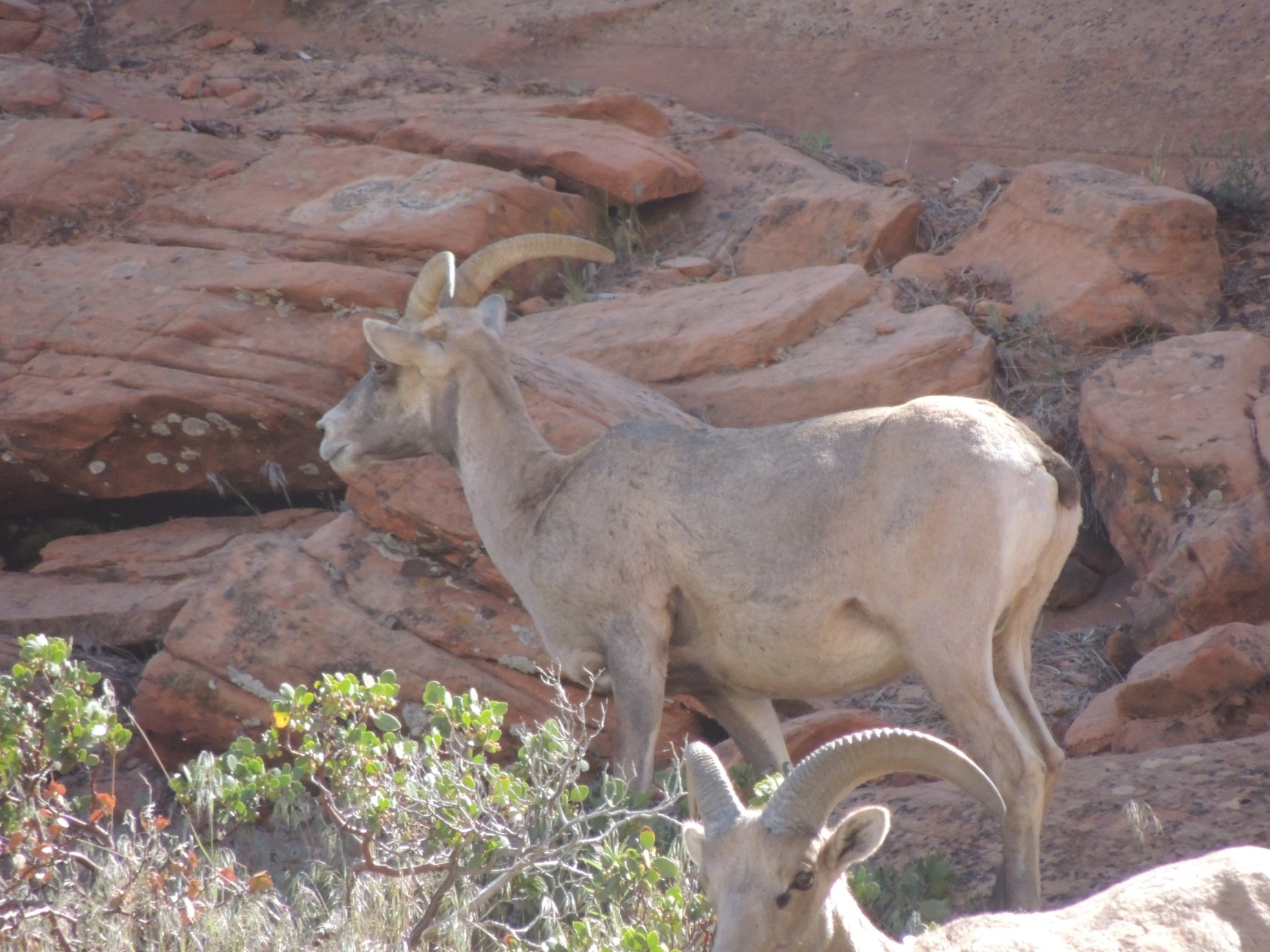
Bighorn Sheep just outside Zion NP (13/125)
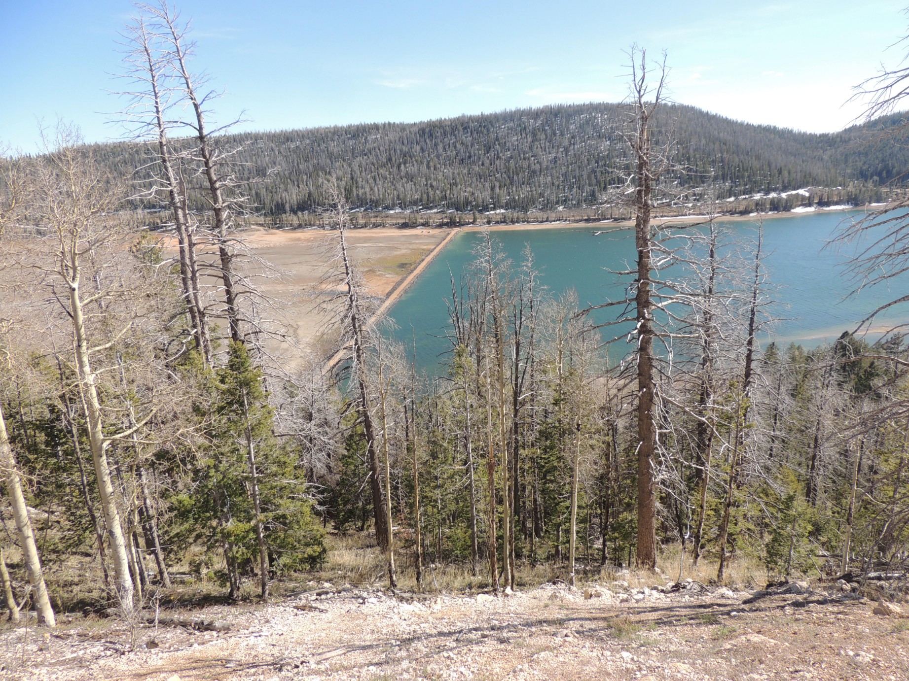
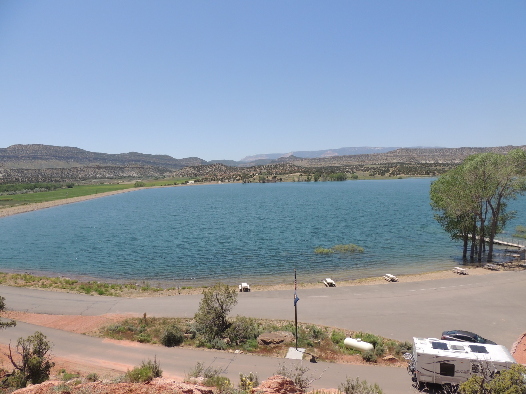
Navaho Lake (14/125)
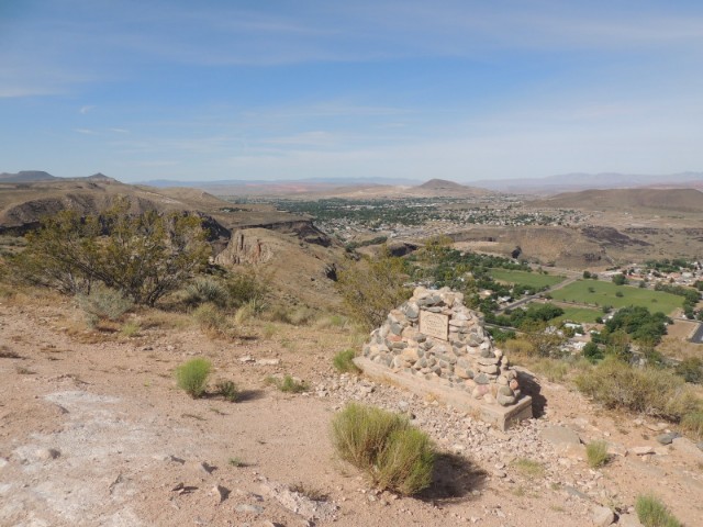
A view of La Verkin Utah from the La Verkin Overlook (15/125)
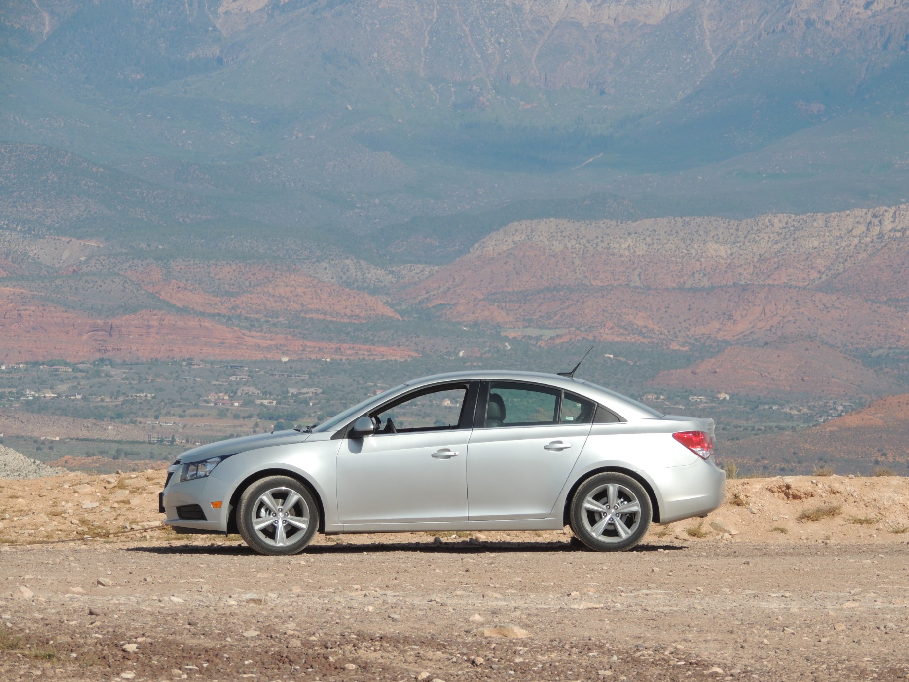
A rental car on the La Verkin Overlook (16/125)

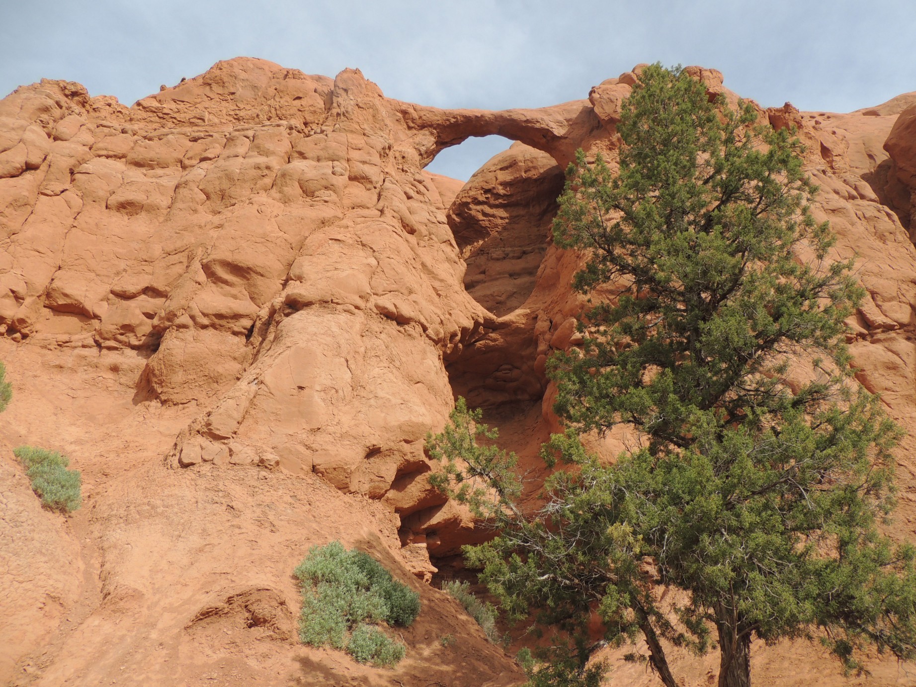
A rock formation in Zion National Park (17/125)
Riverside Walk along the North Fork Virgin River in Zion National Park (18/125)
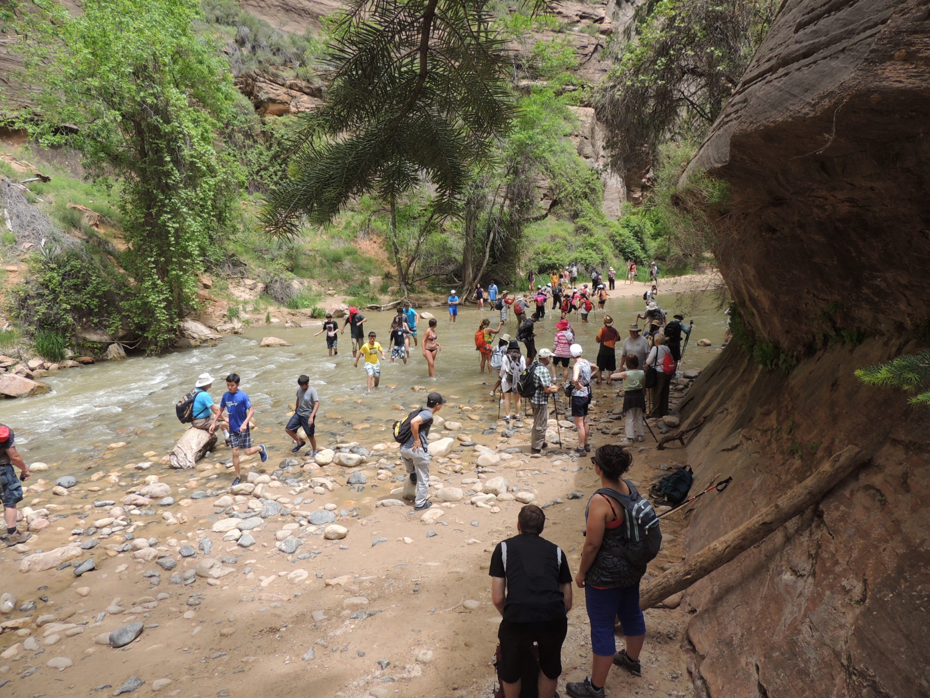
Riverside Walk along the North Fork Virgin River in Zion National Park (19/125)
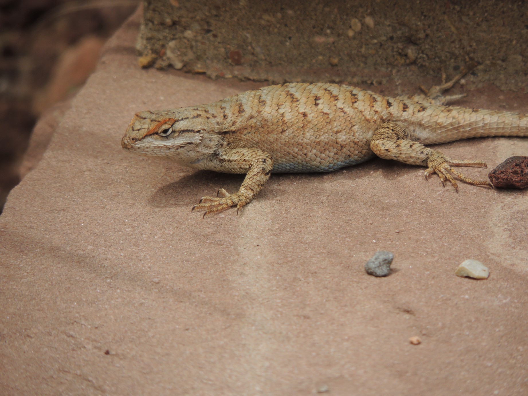
Sunbathing in Zion National Park (20/125)
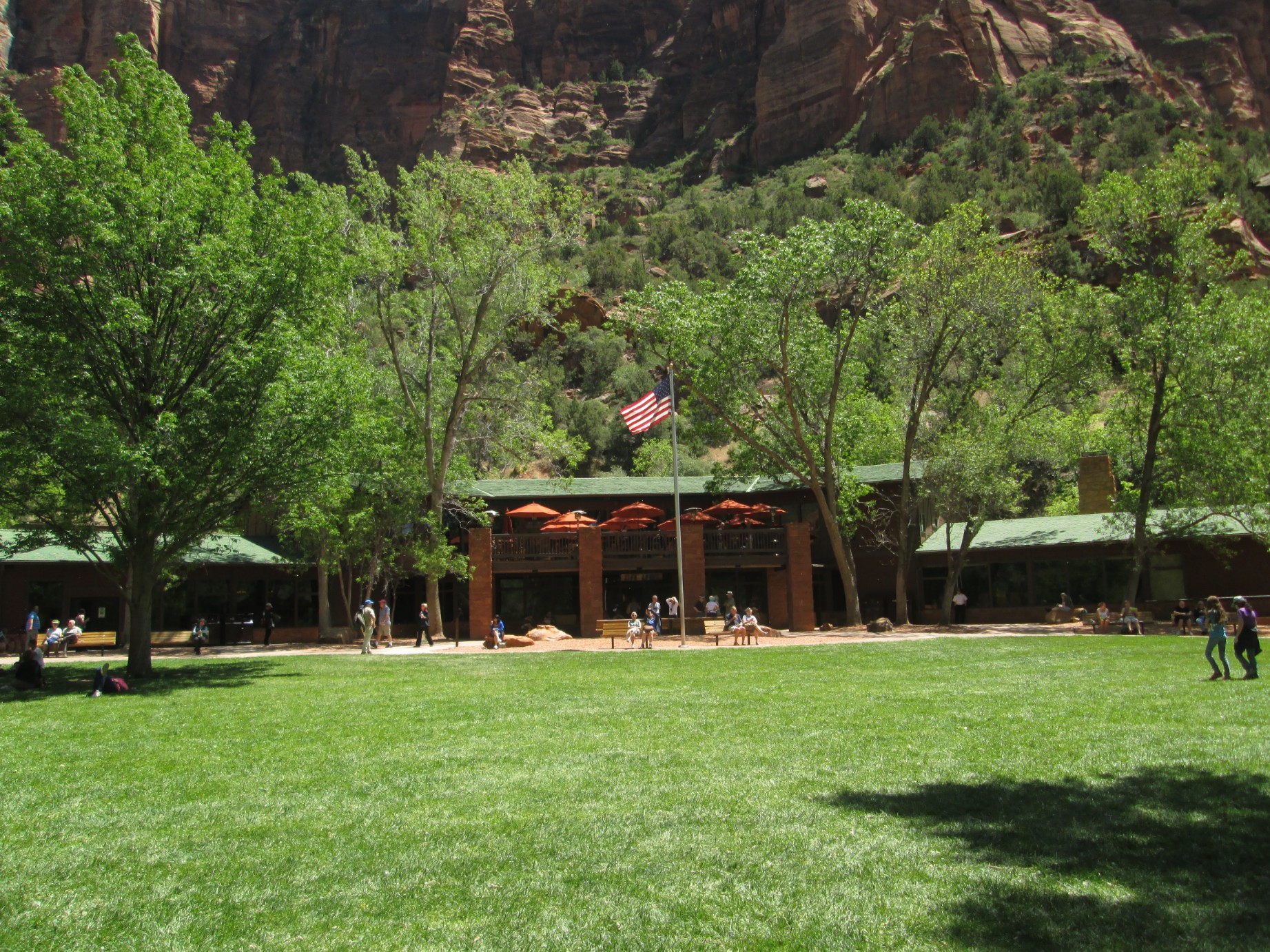
Zion Lodge, Zion National Park (21/125)
The Zion Cave, Zion National Park (22/125)
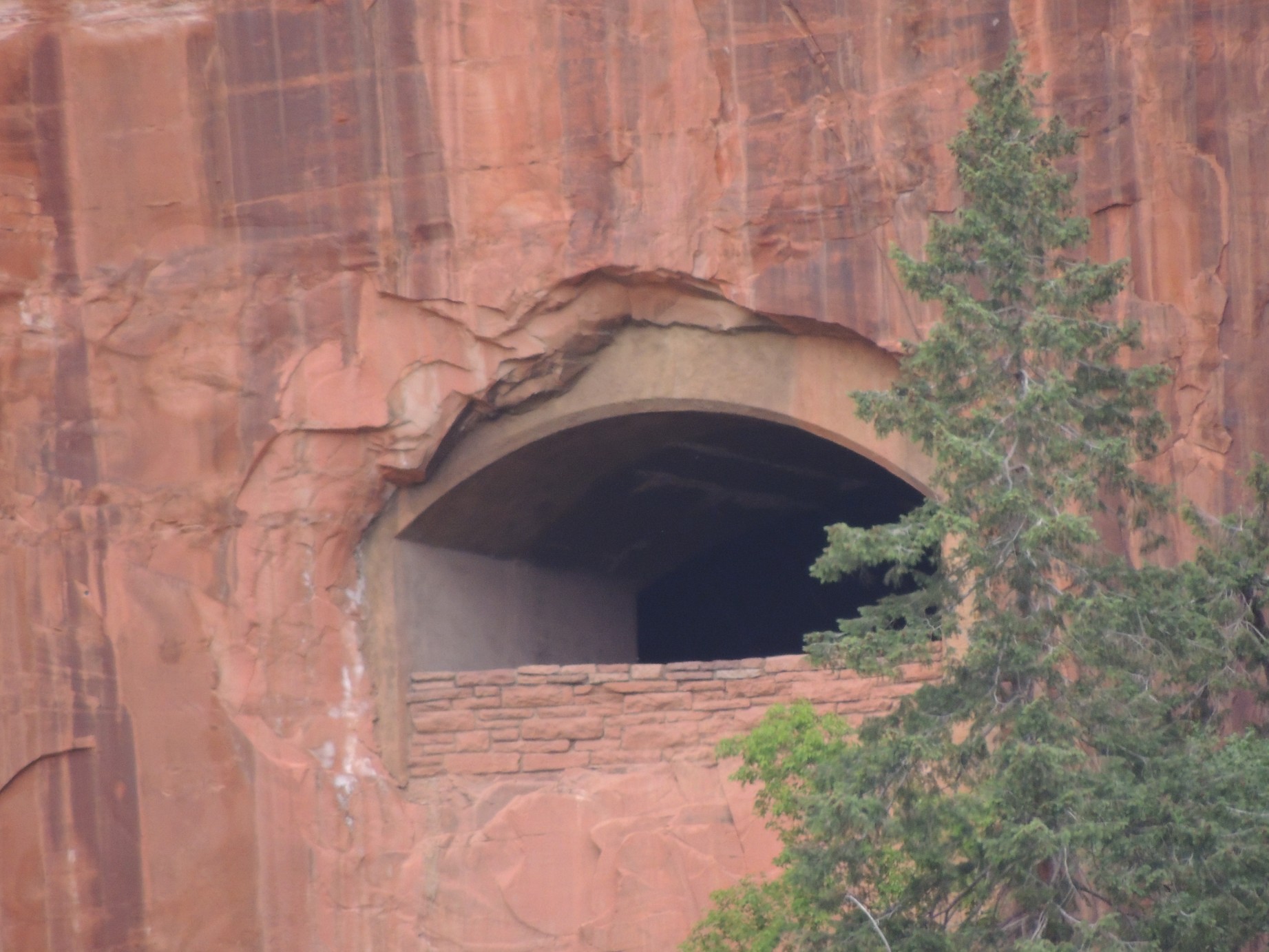
Opening in the Zion - Mt. Carmel Tunnel (23/125)
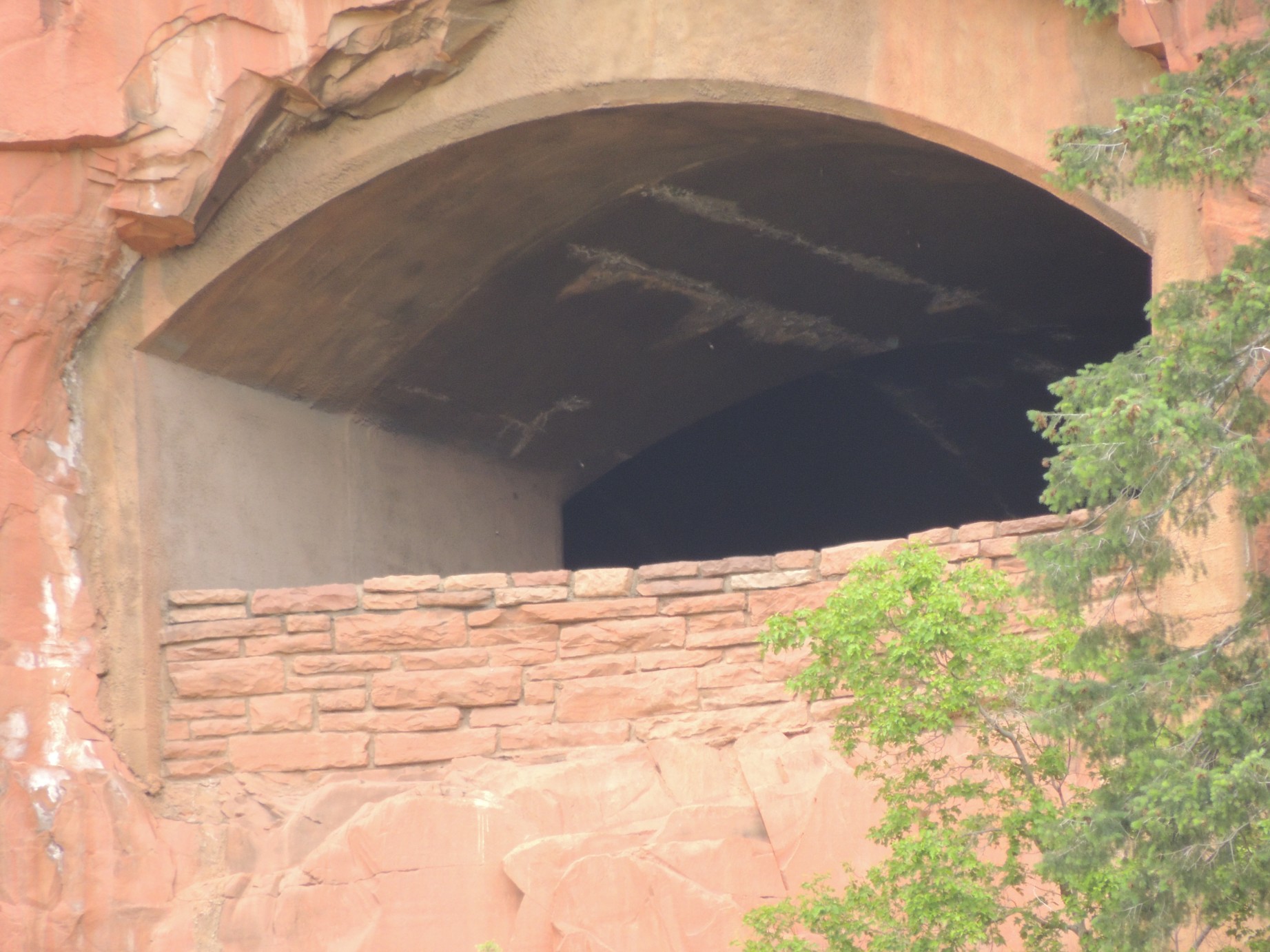
Opening in the Zion - Mt. Carmel Tunnel (24/125)
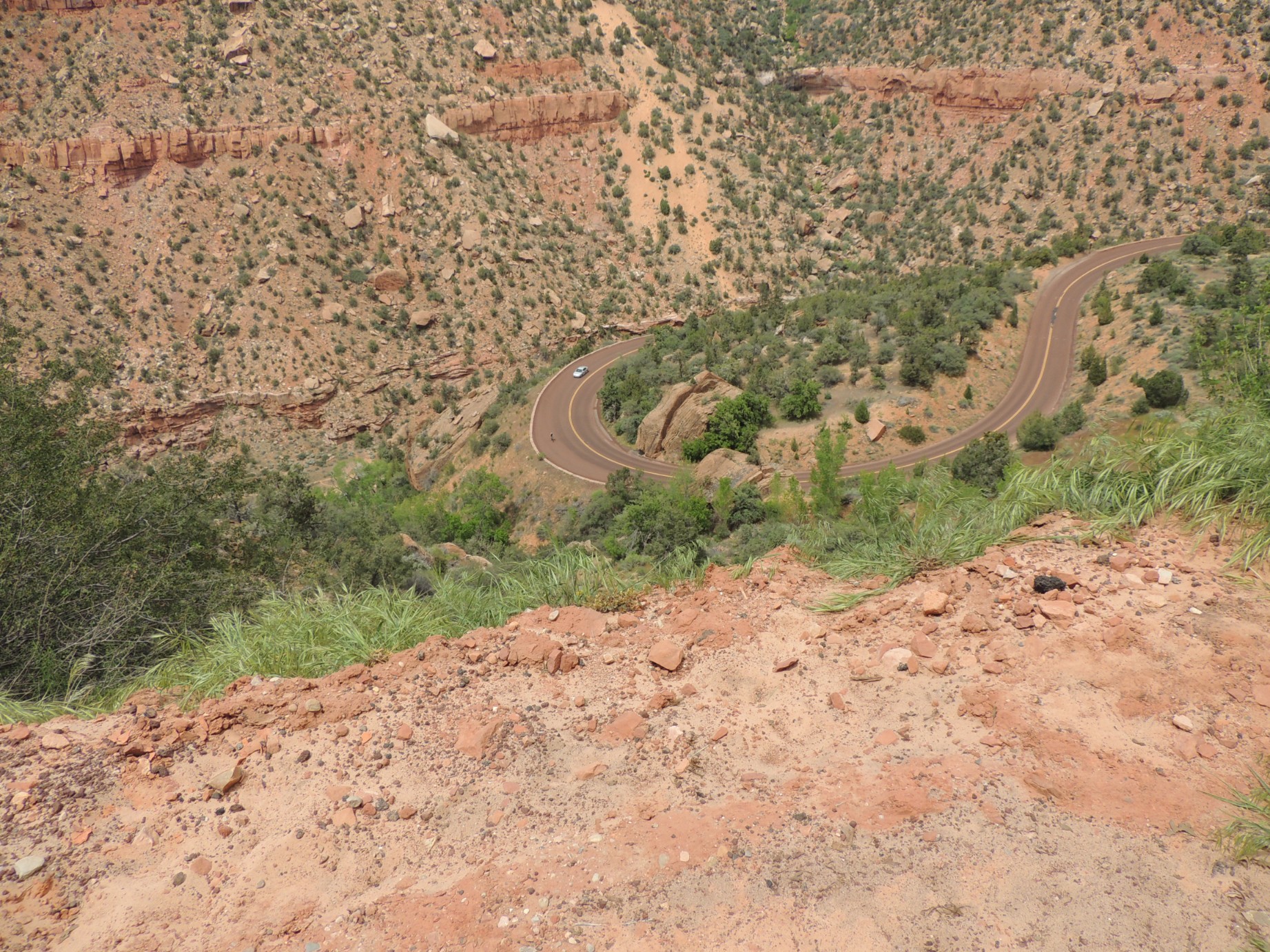
The view from then Zion - Mount Carmel Highway (25/125)
The view from then Zion - Mount Carmel Highway (26/125)
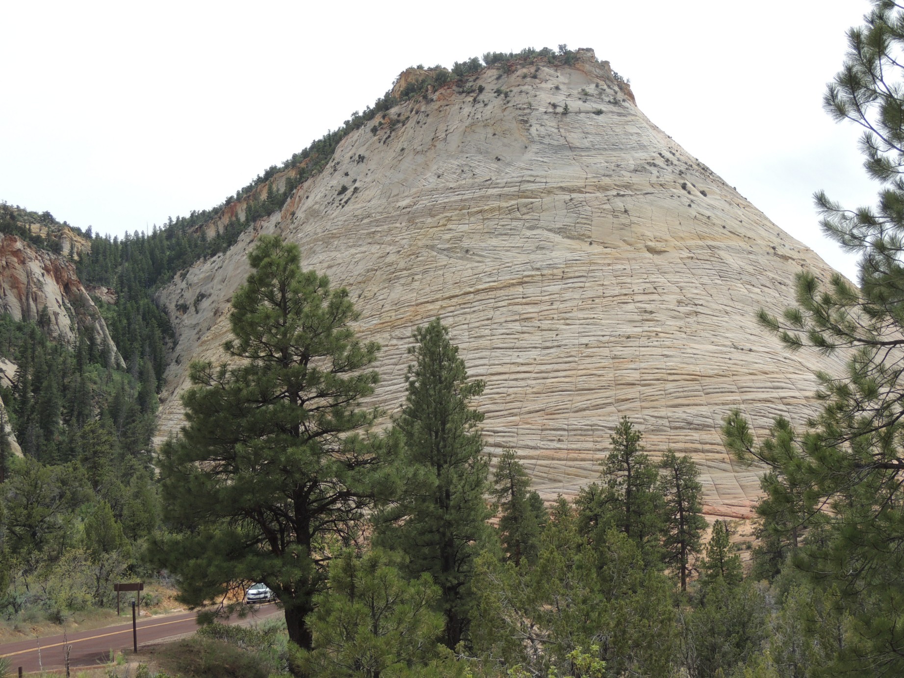
Checkerboard Mesa, Zion National Park (27/125)
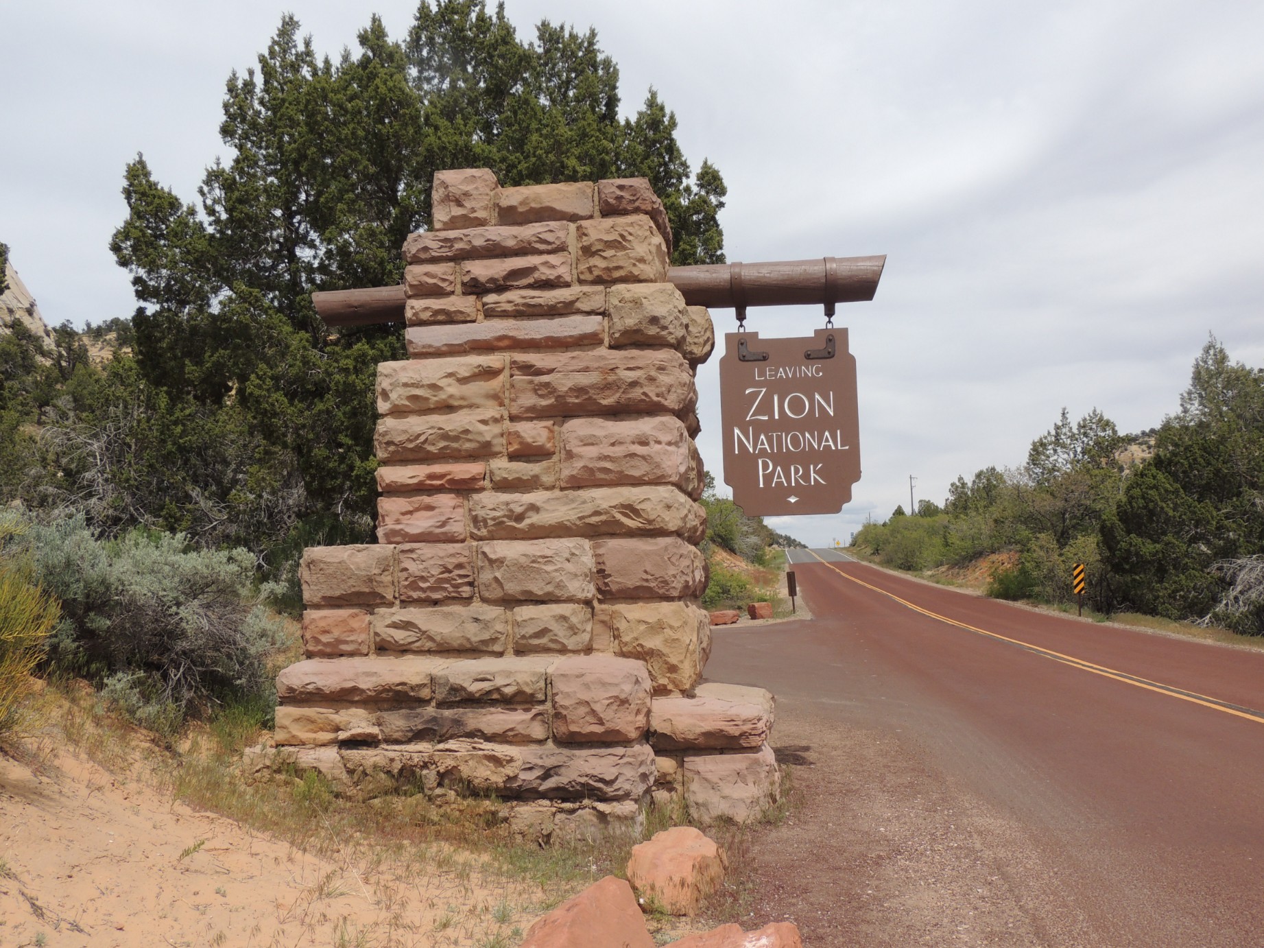
Leaving Zion National Park (28/125)
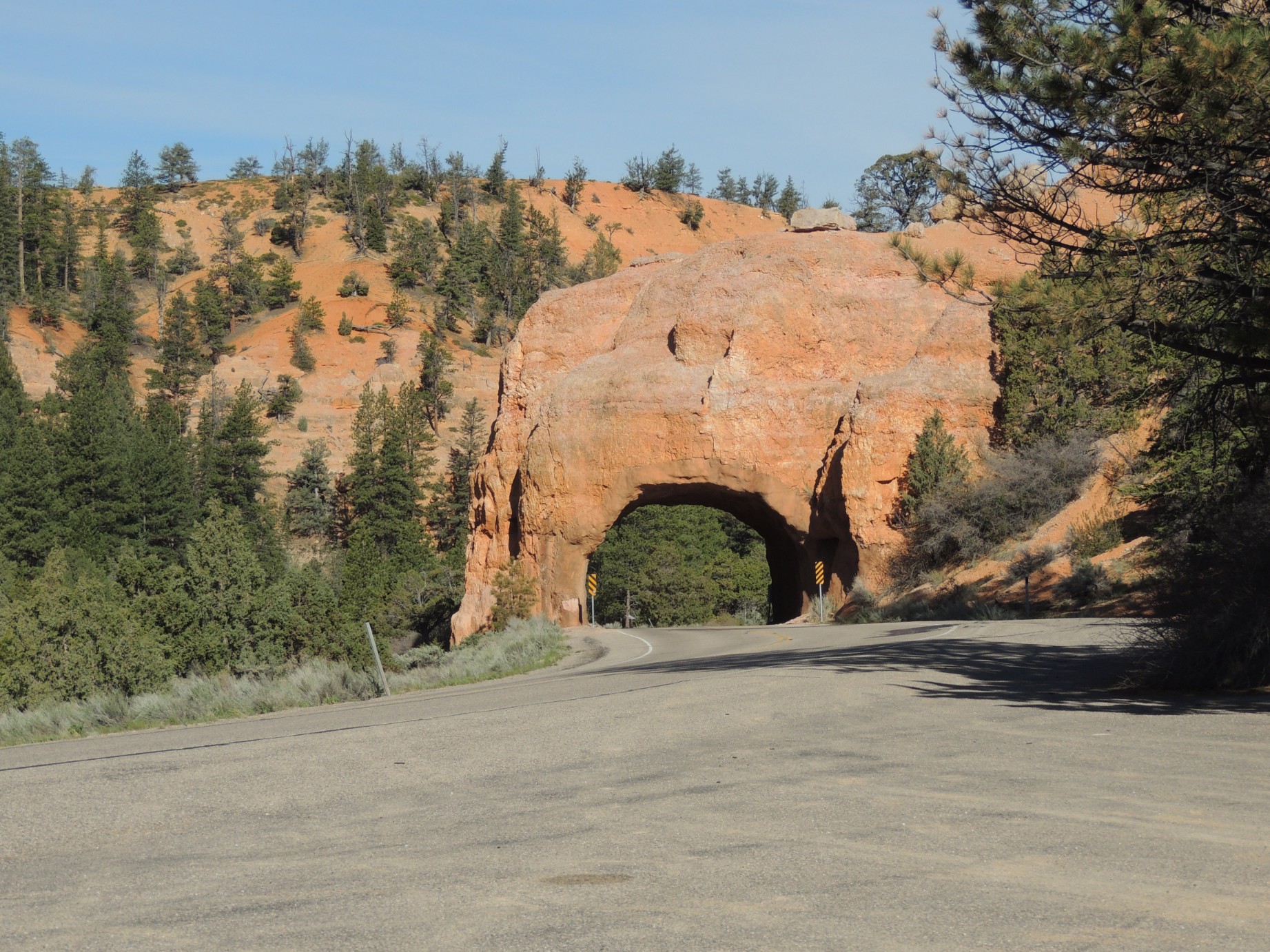
The tunnel on Highway 12 in Utah's Red Canyon (29/125)
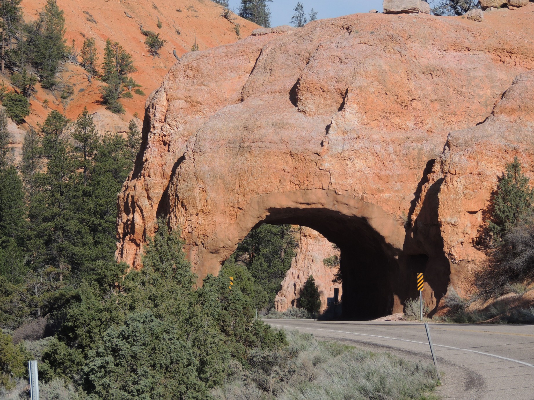
The tunnel on Highway 12 in Utah's Red Canyon (30/125)
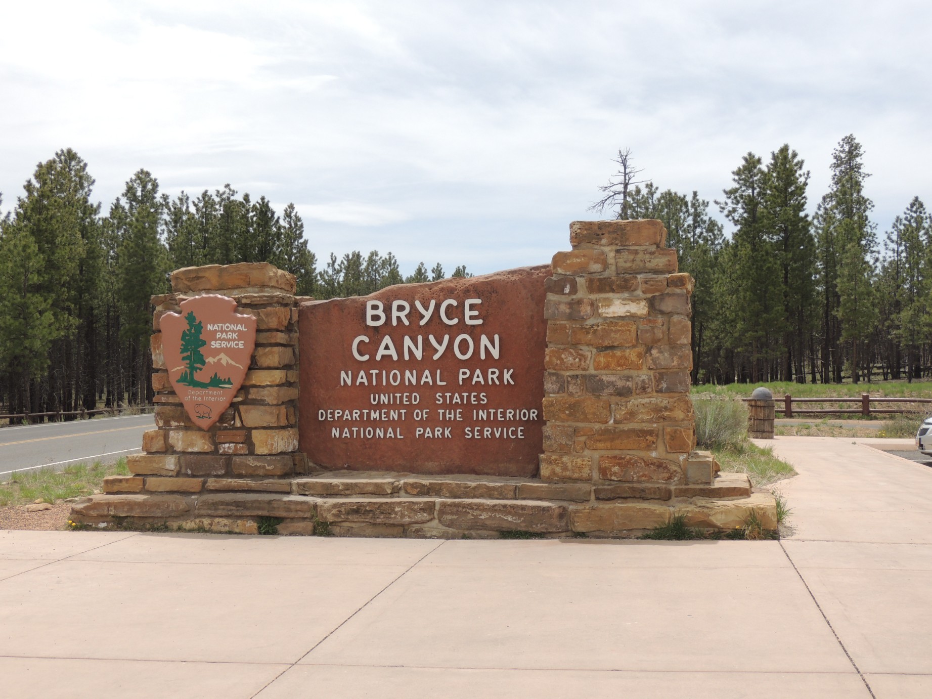
The Entrance to Bryce Canyon National Park (31/125)
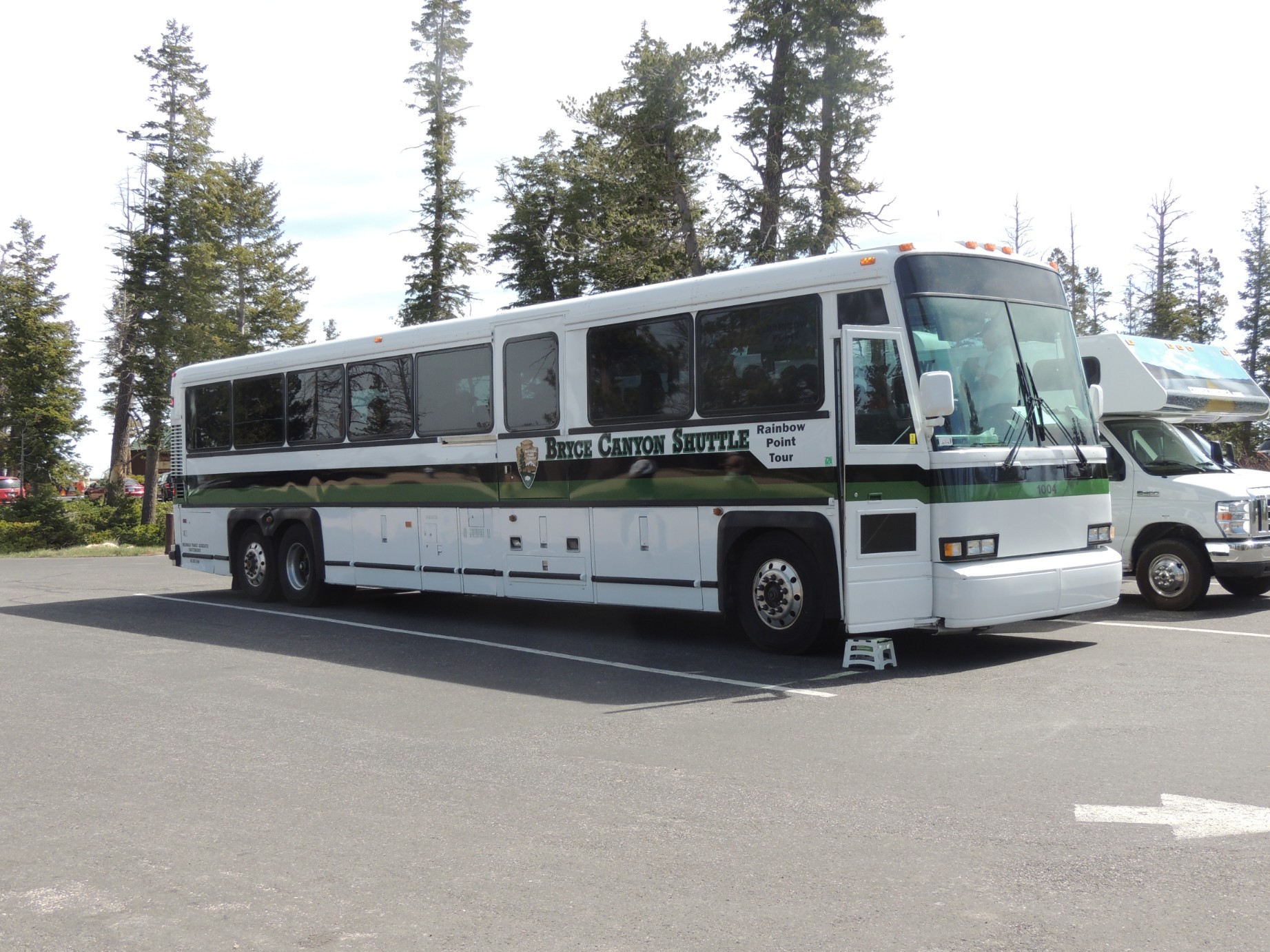
Buses used to transport tourist in Bryce Canyon National Park (32/125)
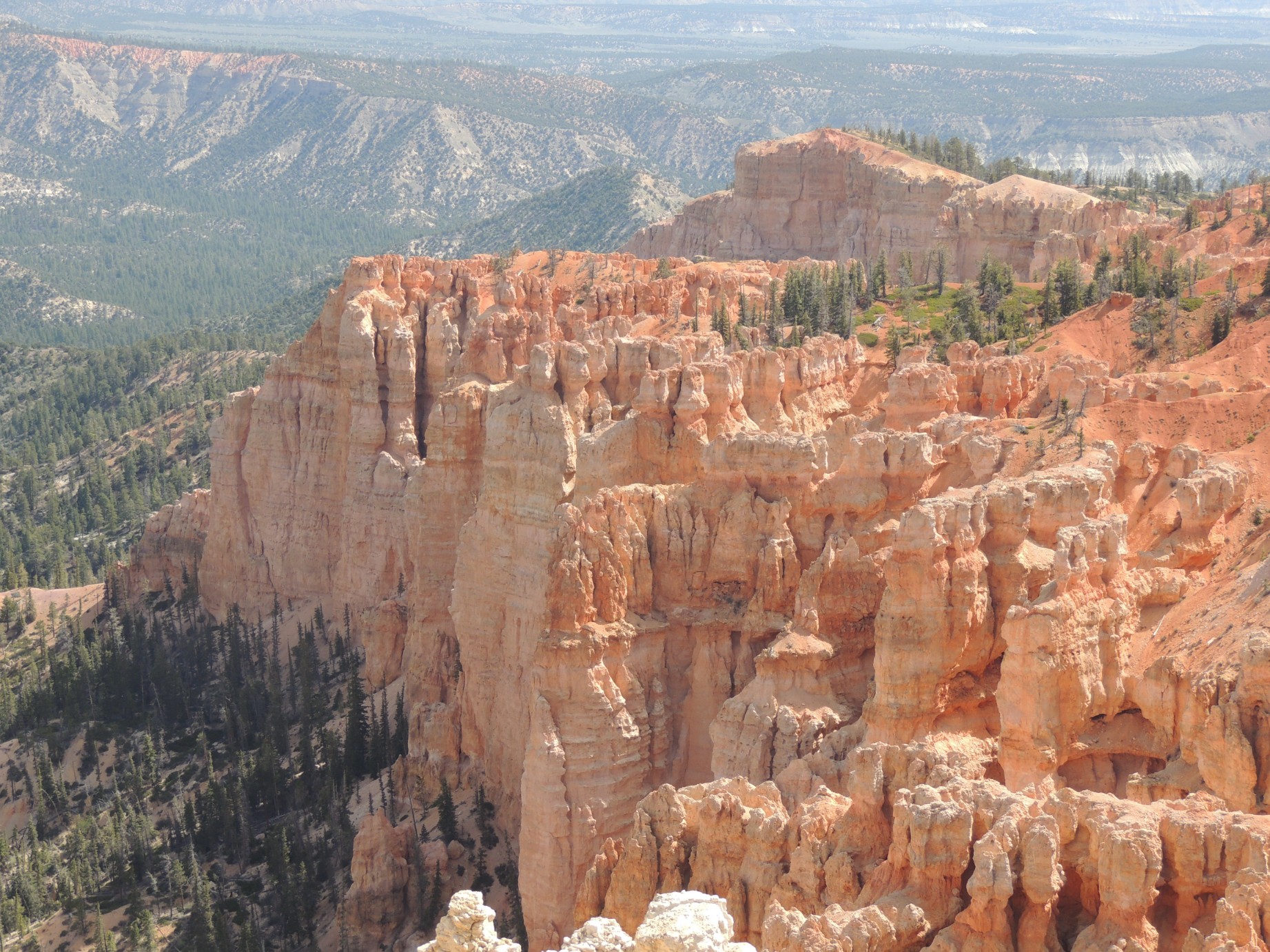
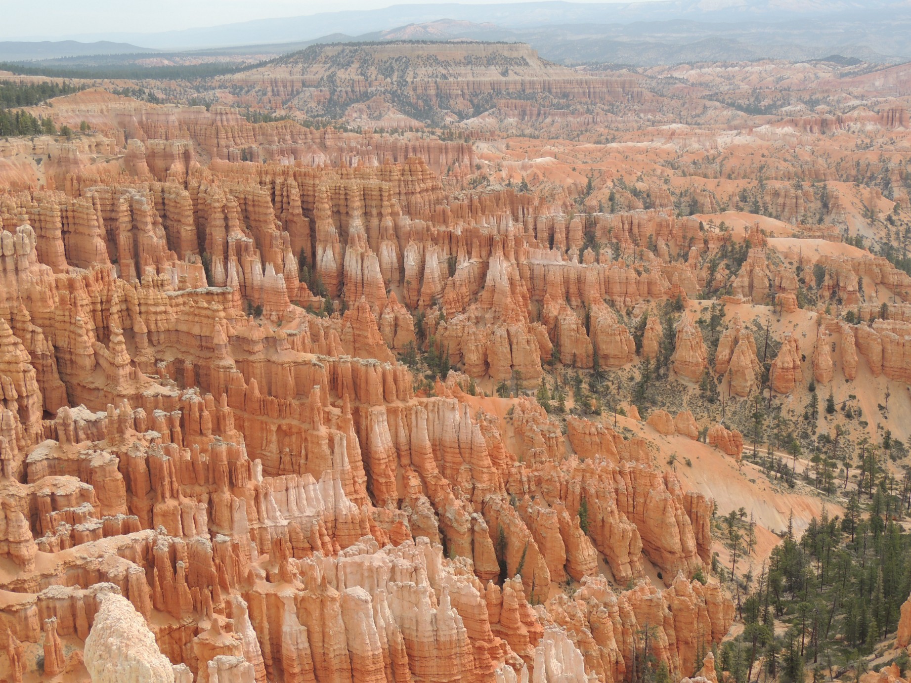
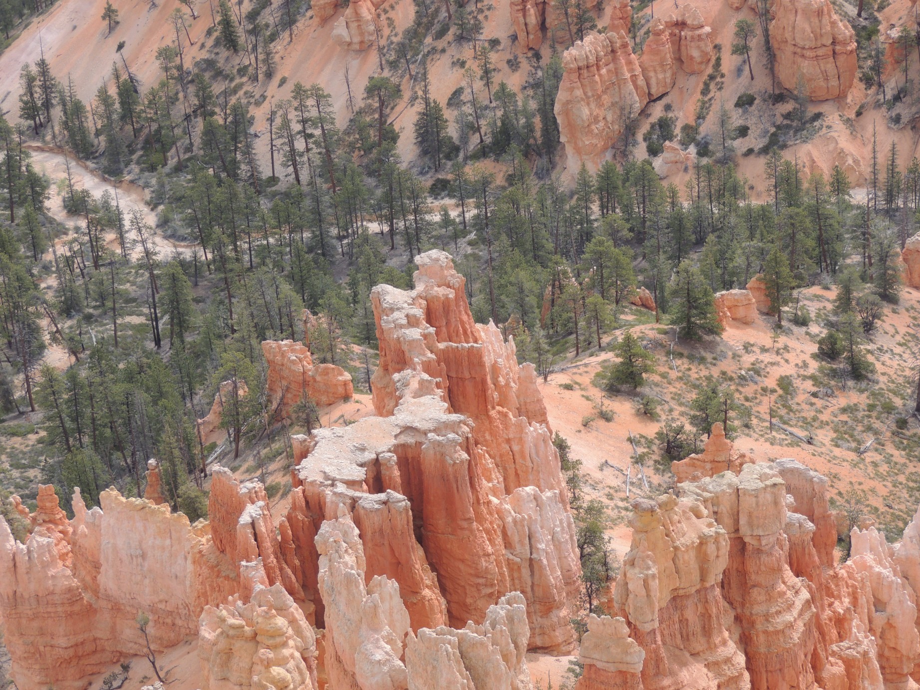
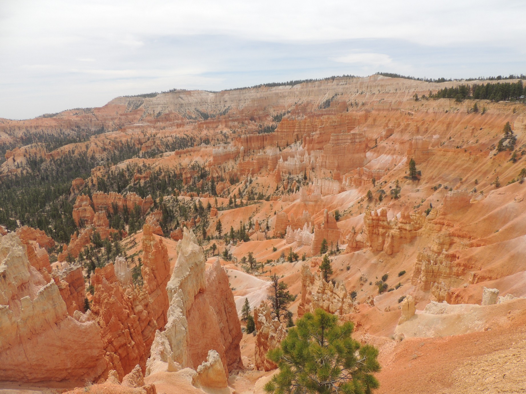
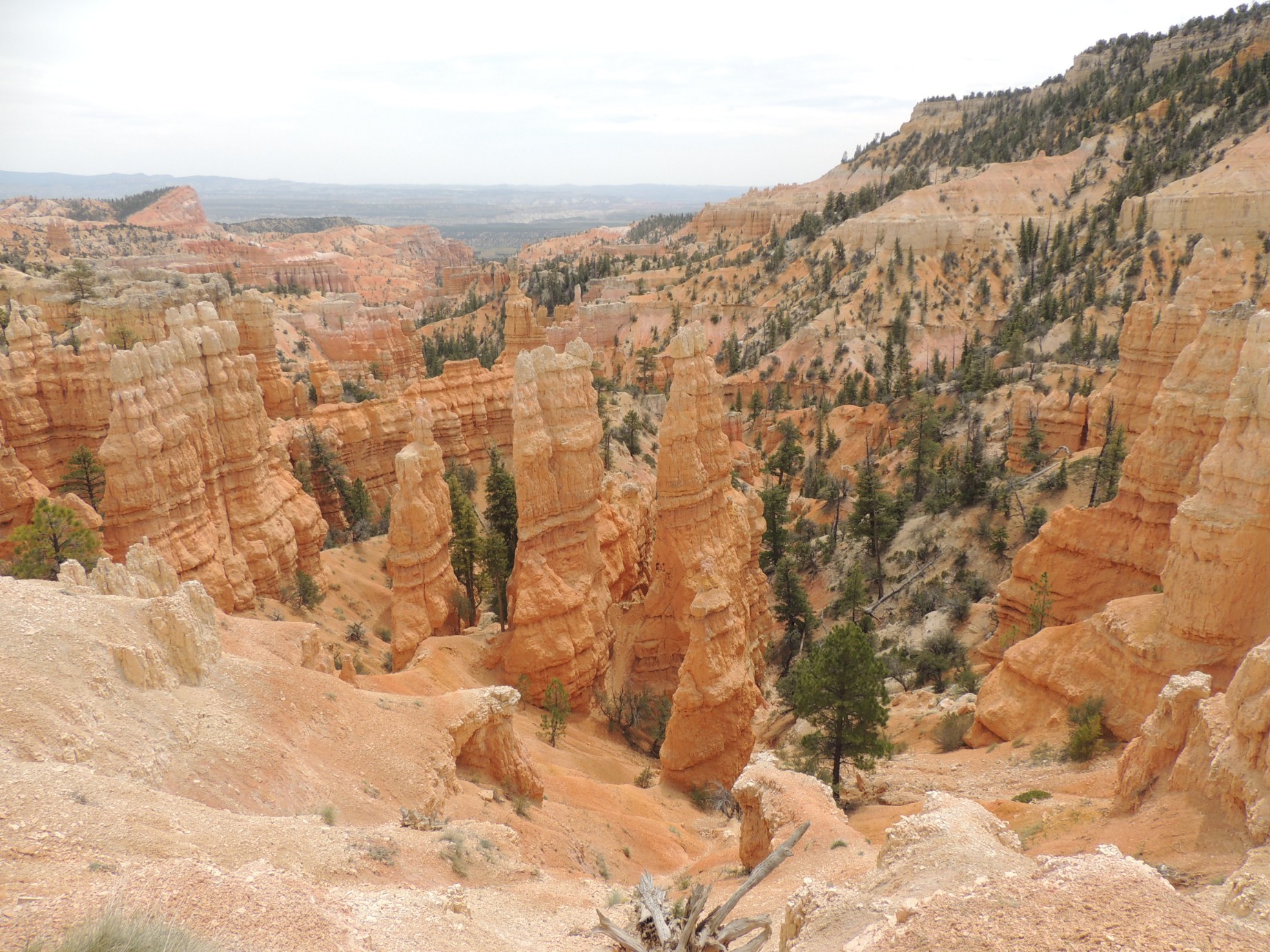
Bryce Canyon National Park (33/125)
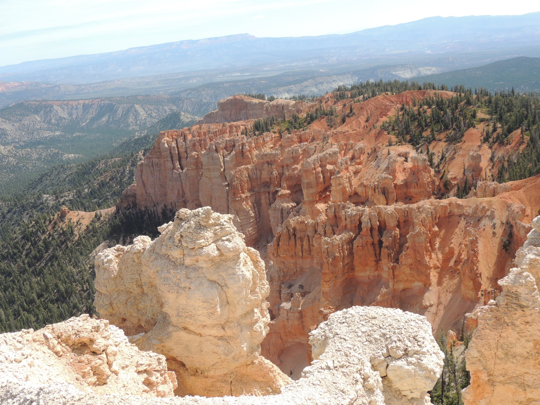
Bryce Canyon National Park (34/125)
Bryce Canyon National Park (35/125)
Bryce Canyon National Park (36/125)
Bryce Canyon National Park (37/125)
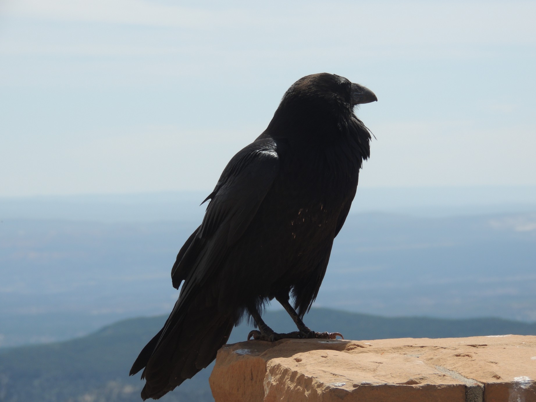
A wind blown raven on the edge of Bryce Canyon (38/125)
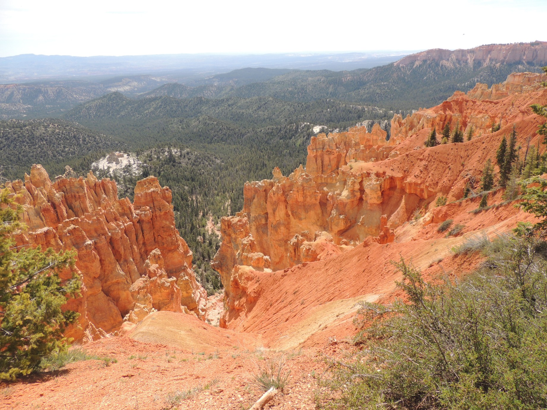
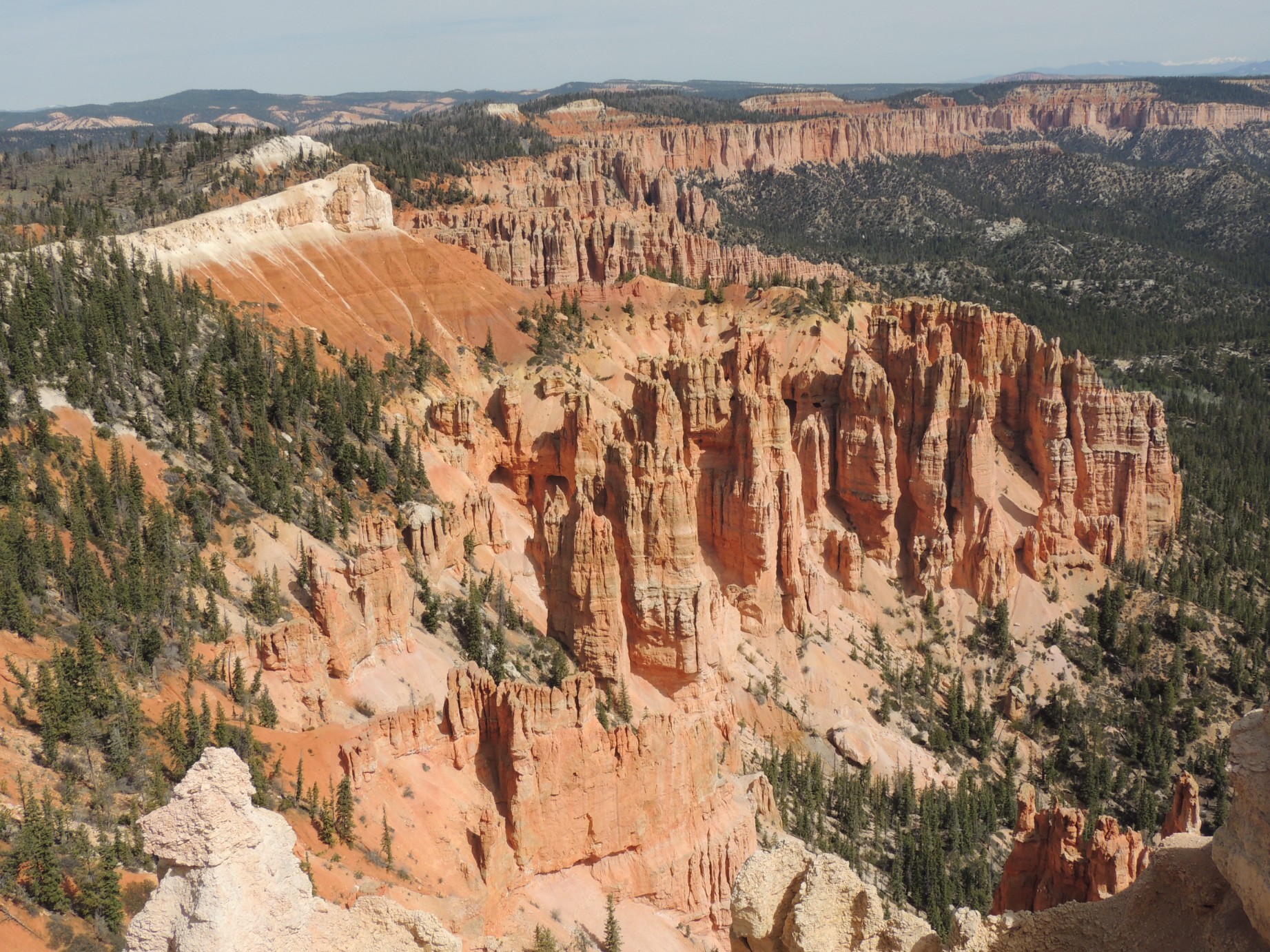
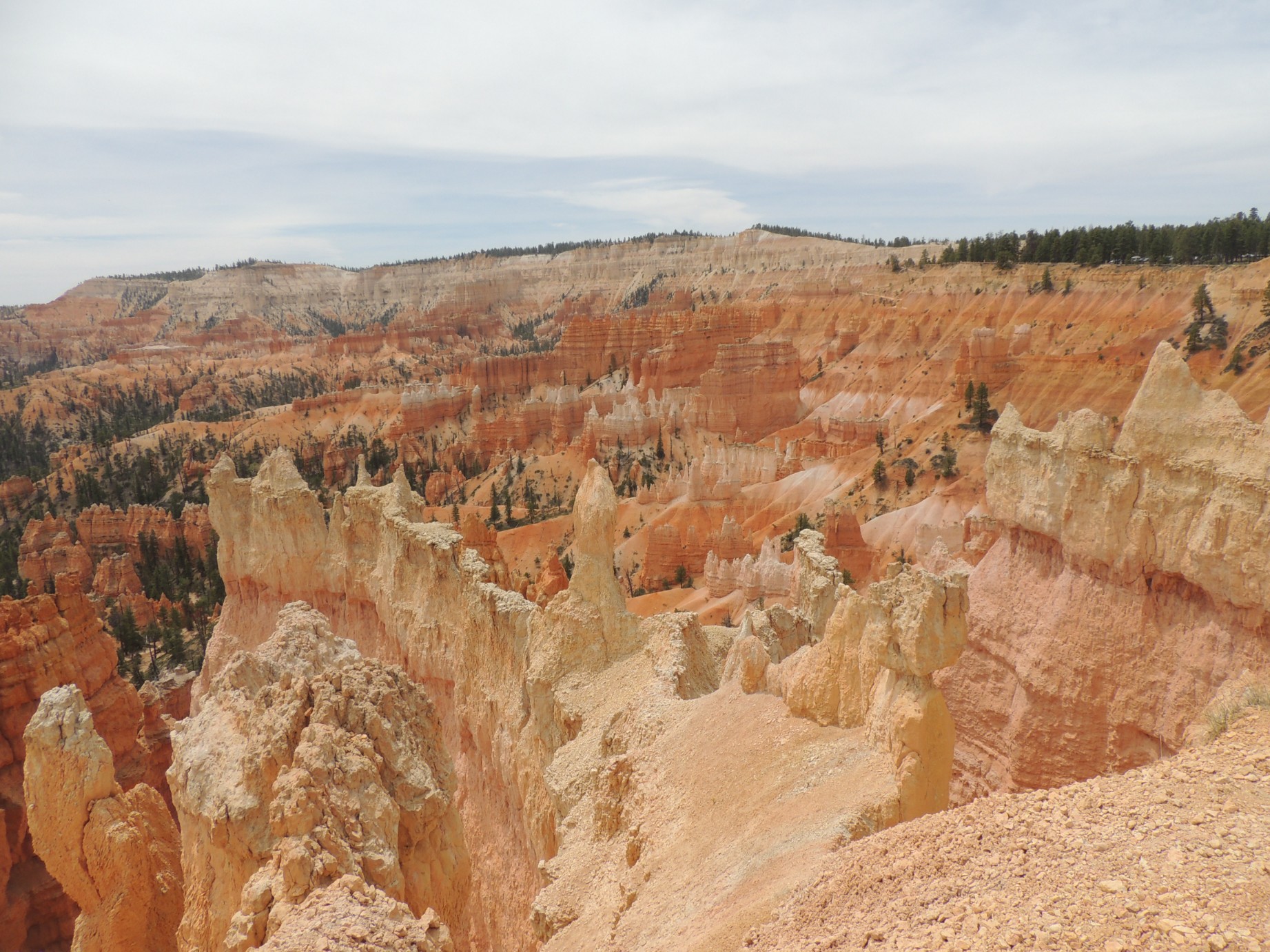
Bryce Canyon National Park (39/125)
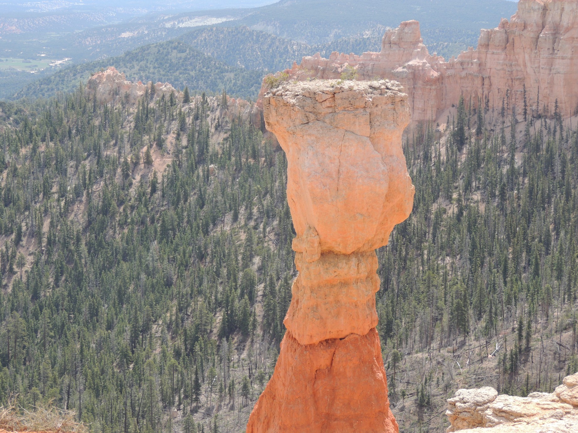
Thor's Hammer at Bryce Canyon National Park (40/125)
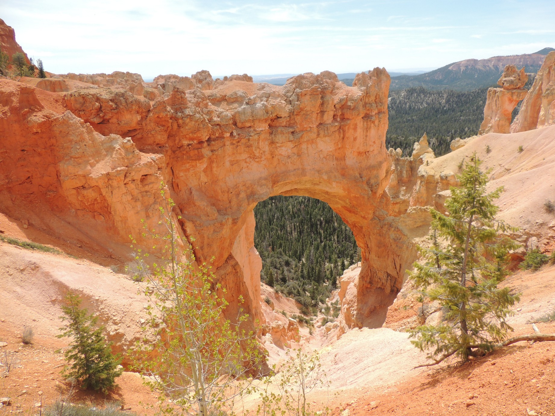
The Natural Bridge at Bryce Canyon National Park (41/125)

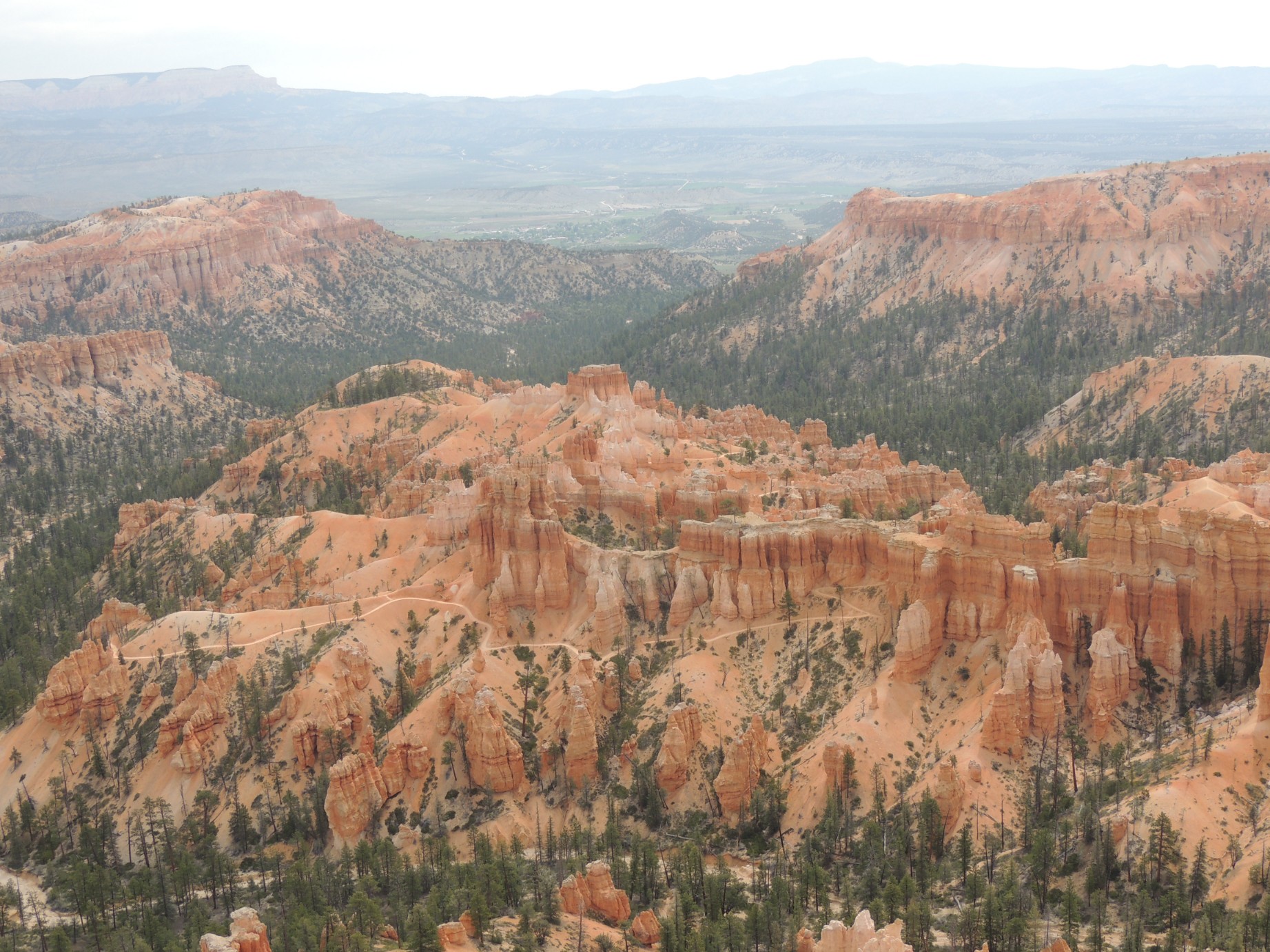
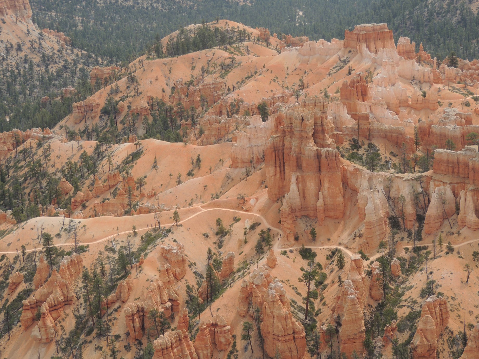
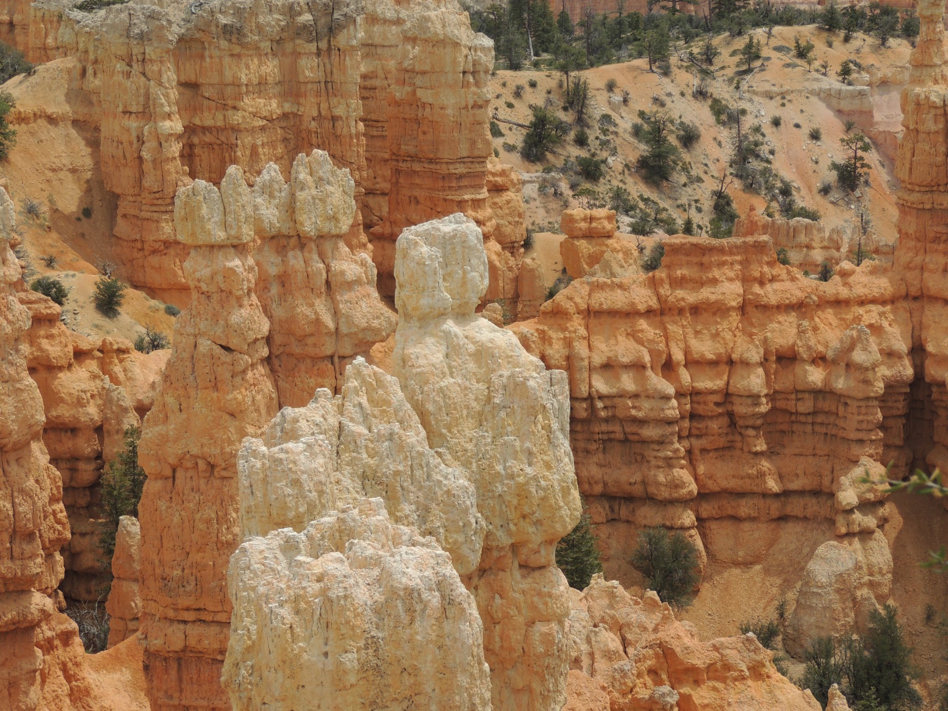
Bryce Canyon National Park (42/125)
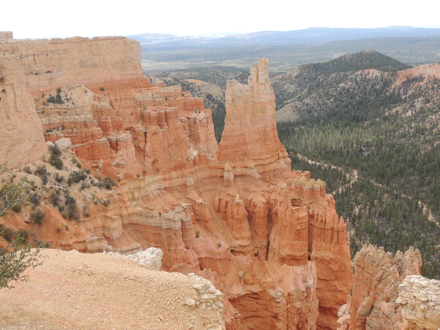
Bryce Canyon National Park (43/125)
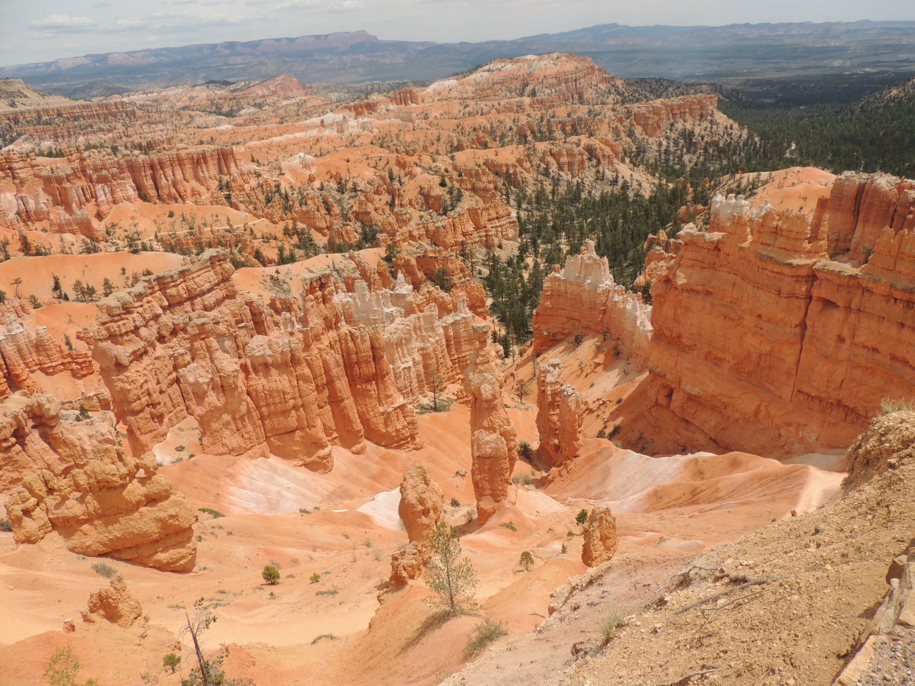
Bryce Canyon National Park (44/125)
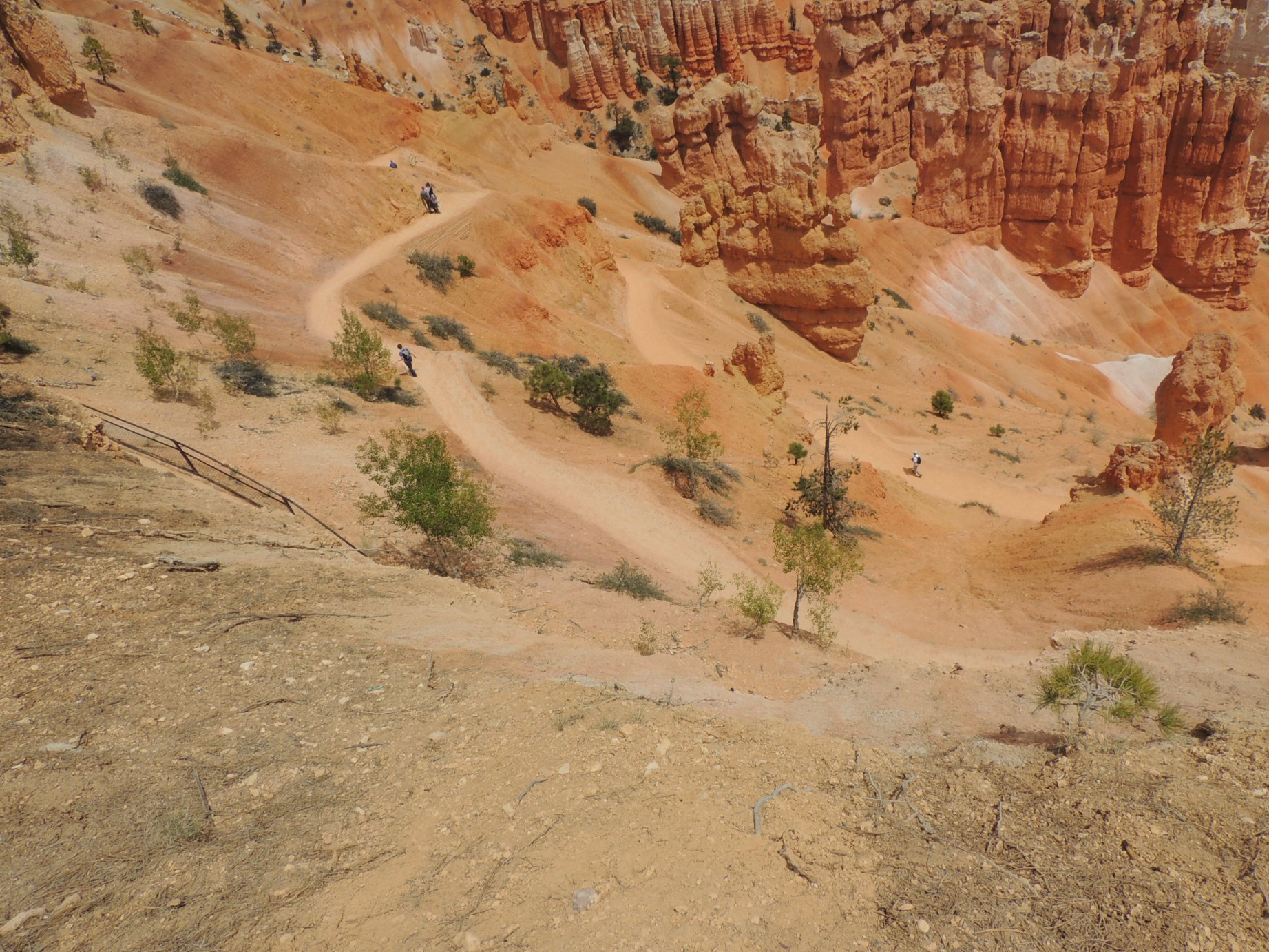
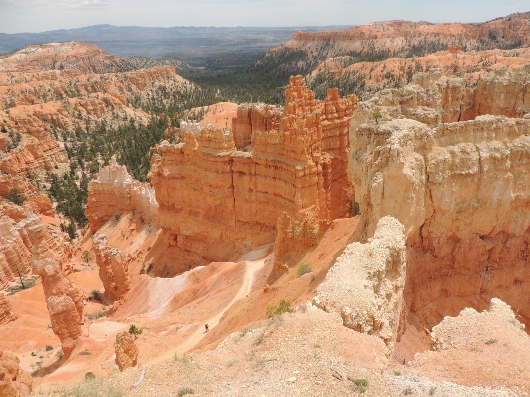
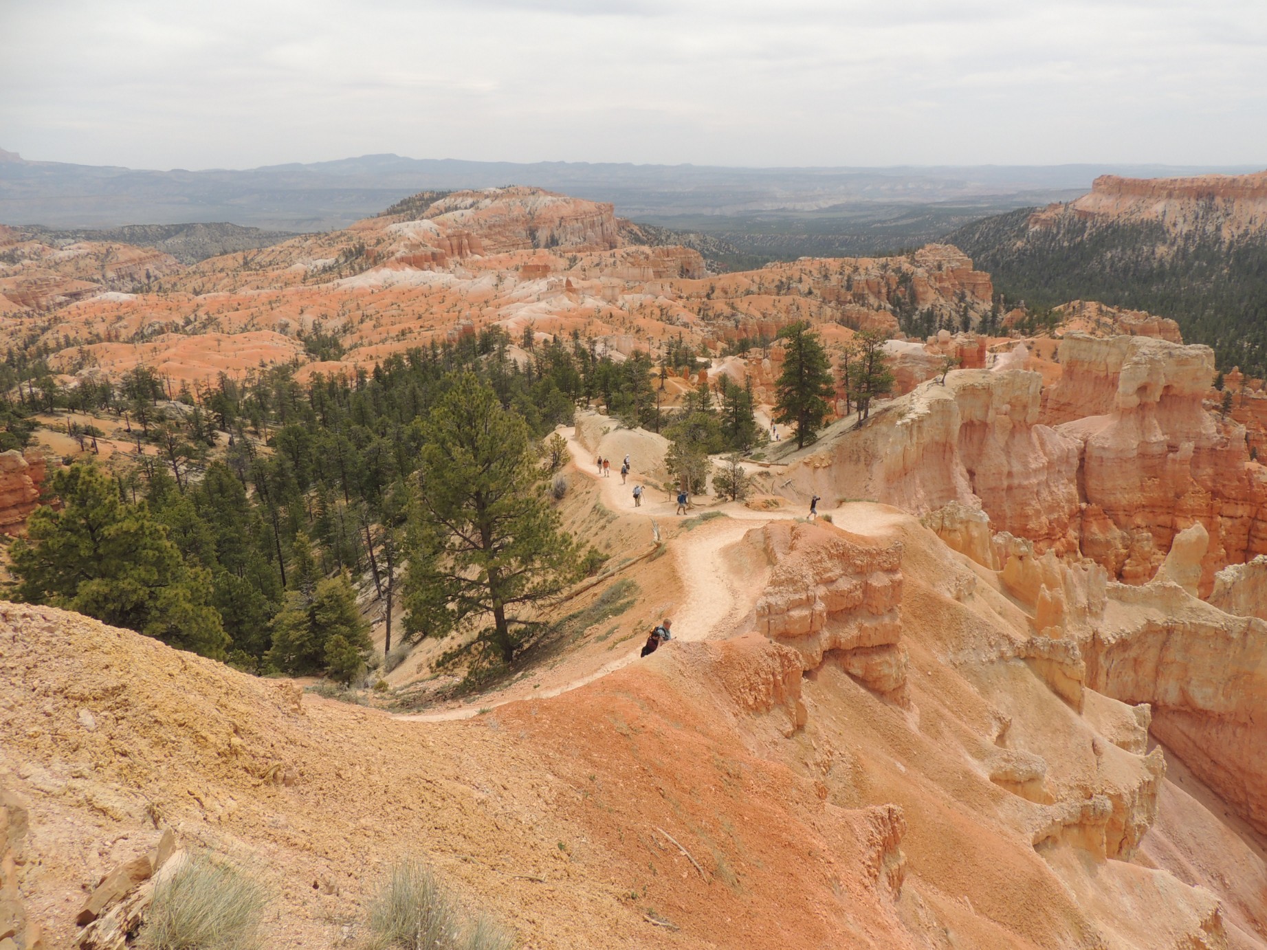
The trail into Bryce Canyon (45/125)
Bryce Canyon National Park (46/125)
Kodachrome State Park, Utah (47/125)
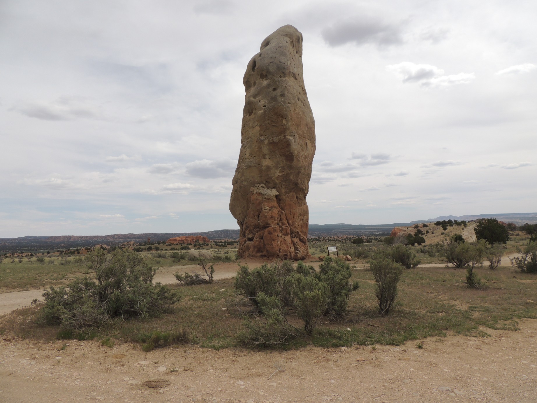
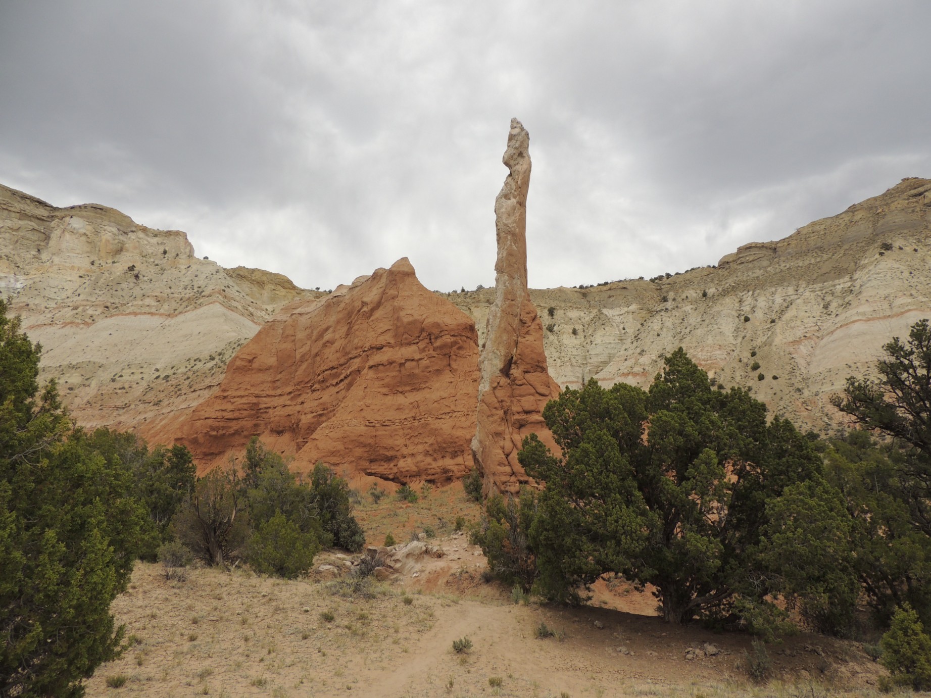
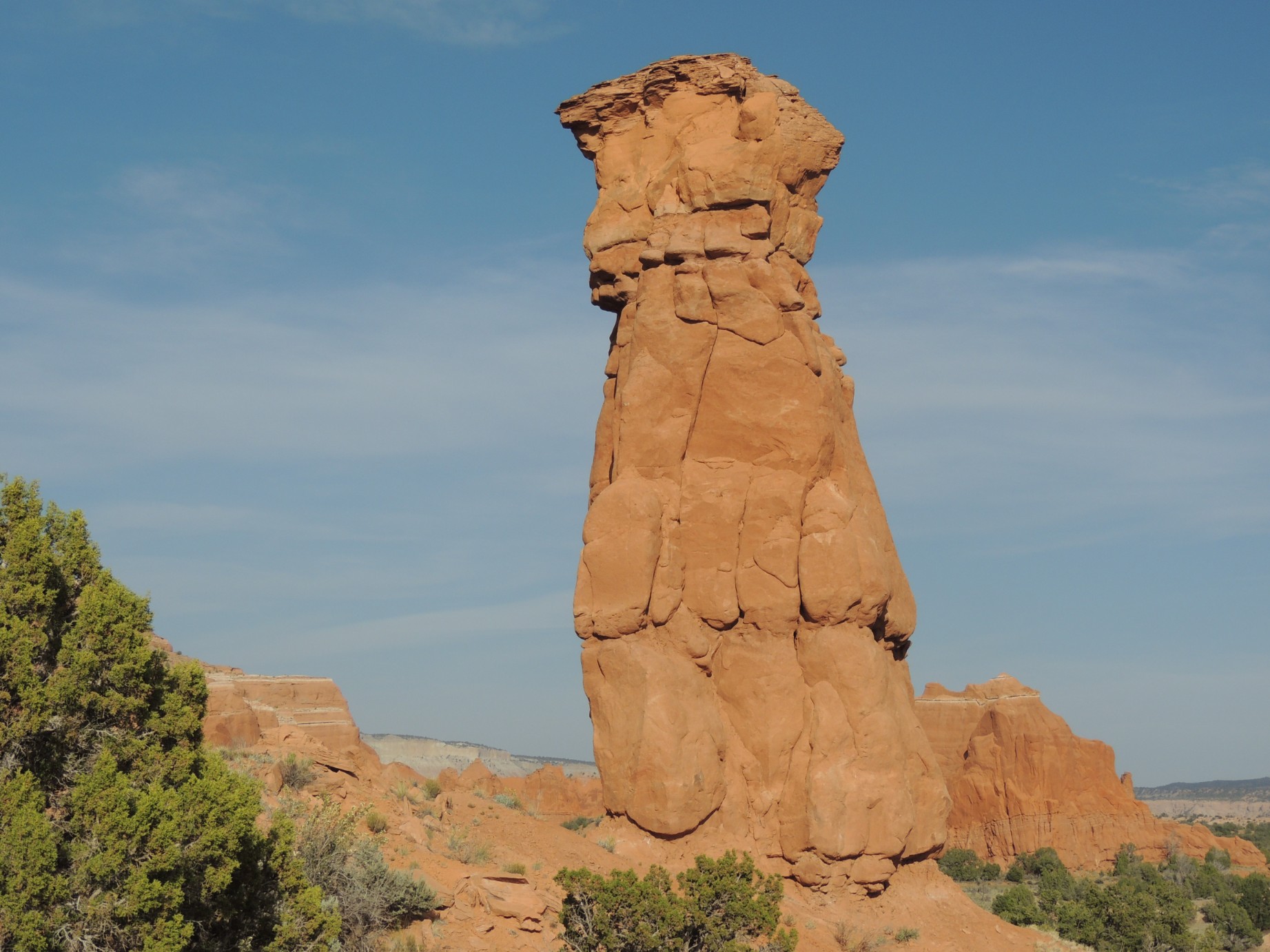
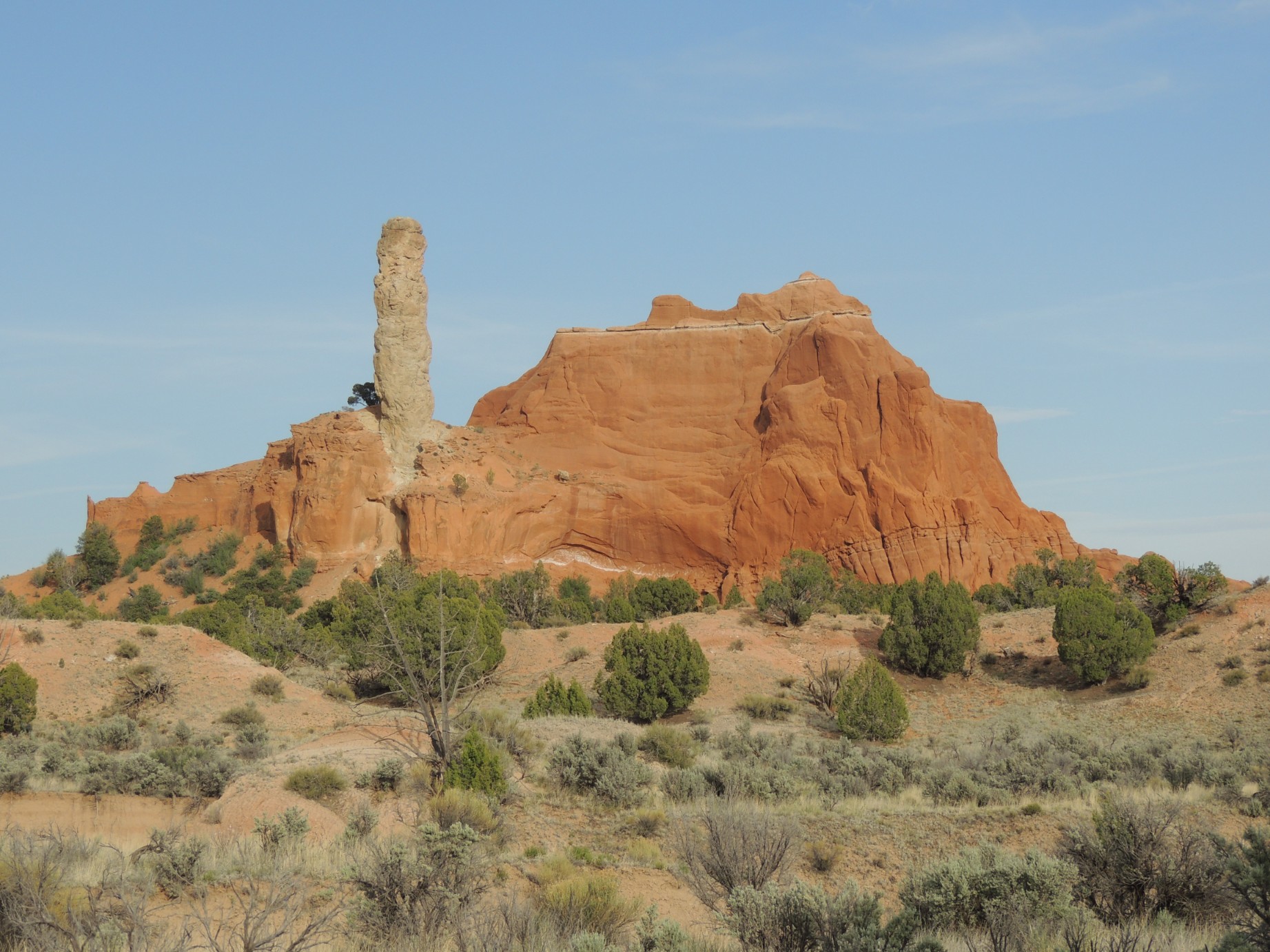
Chimney Rock at Kodachrome State Park (48/125)
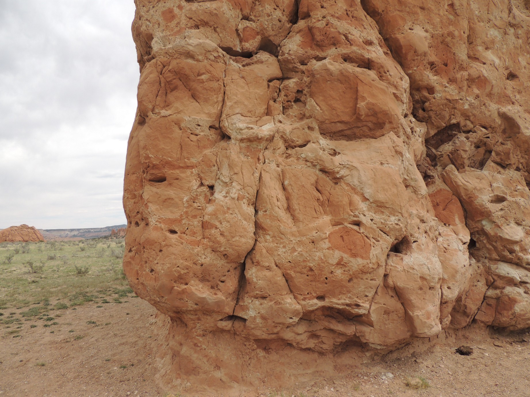
Chimney Rock at Kodachrome State Park (49/125)
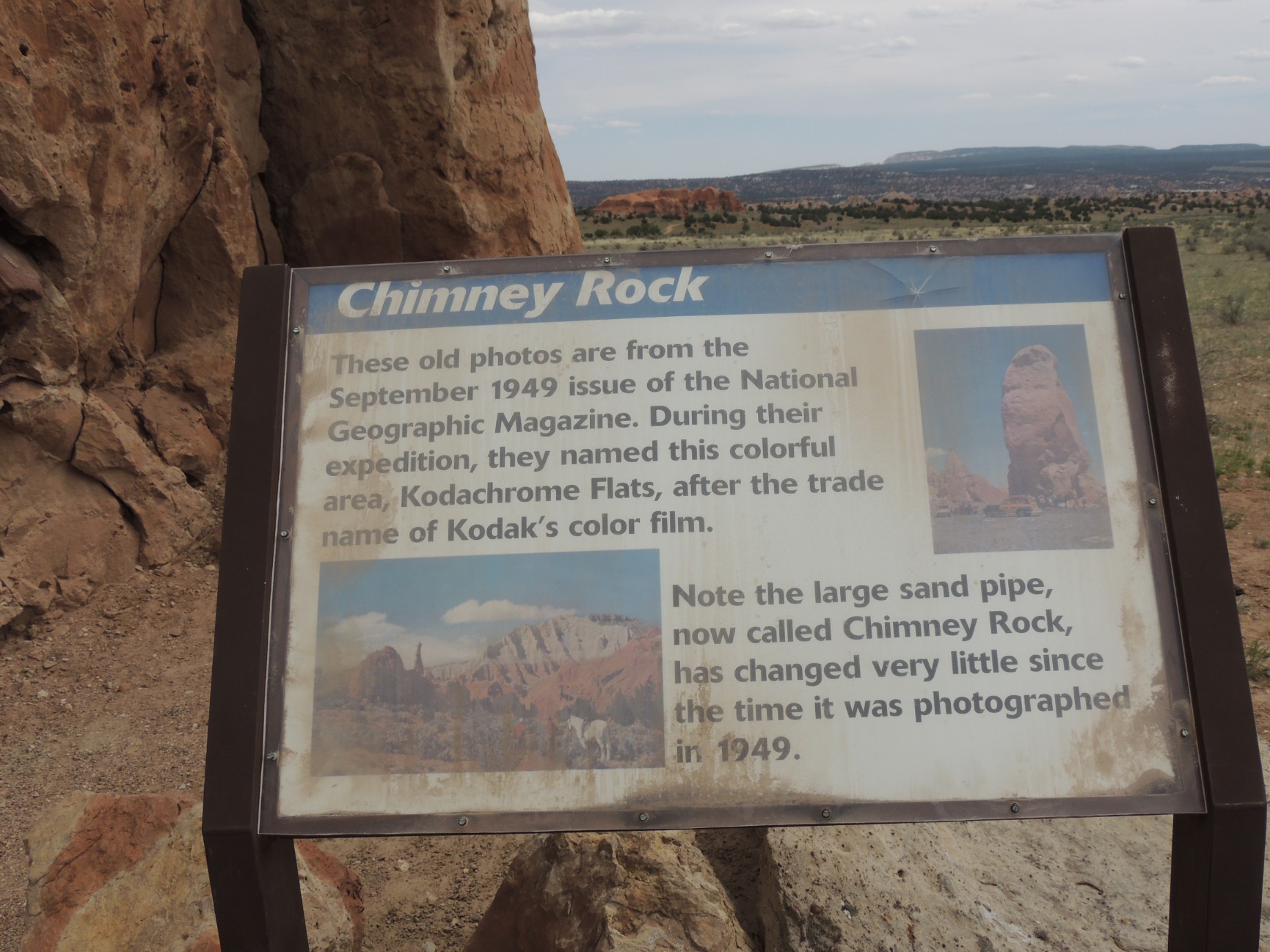
Chimney Rock at Kodachrome State Park (50/125)
Kodachrome State Park, Utah (51/125)
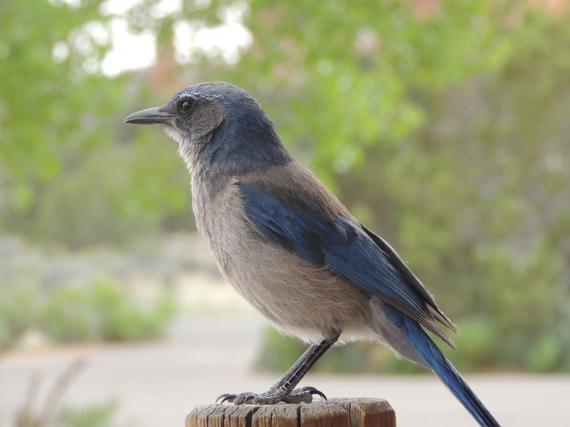
A Steller's Jay at Kodachrome State Park (52/125)
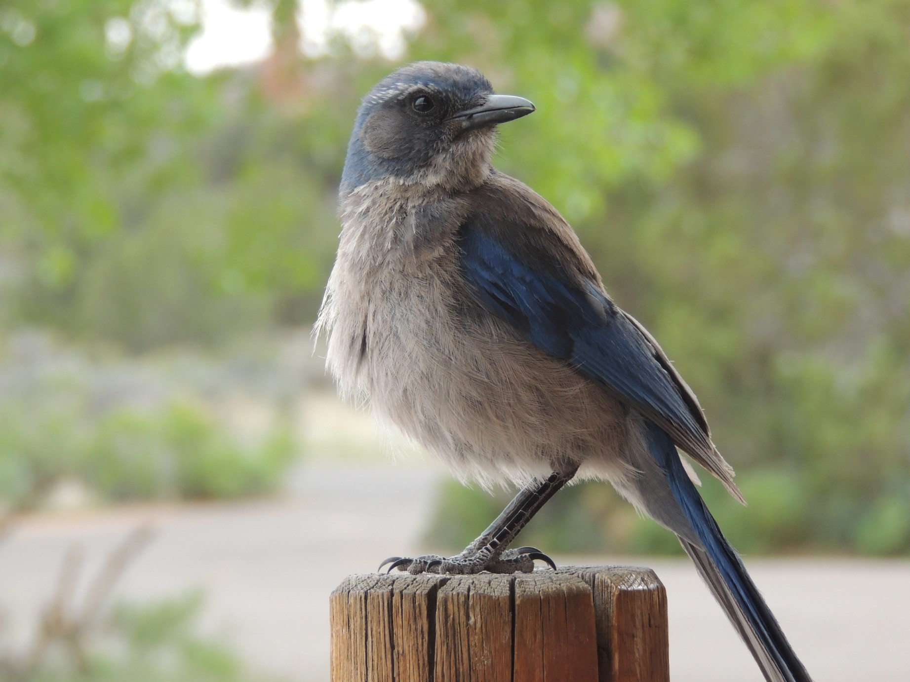
A Steller's Jay at Kodachrome State Park (53/125)

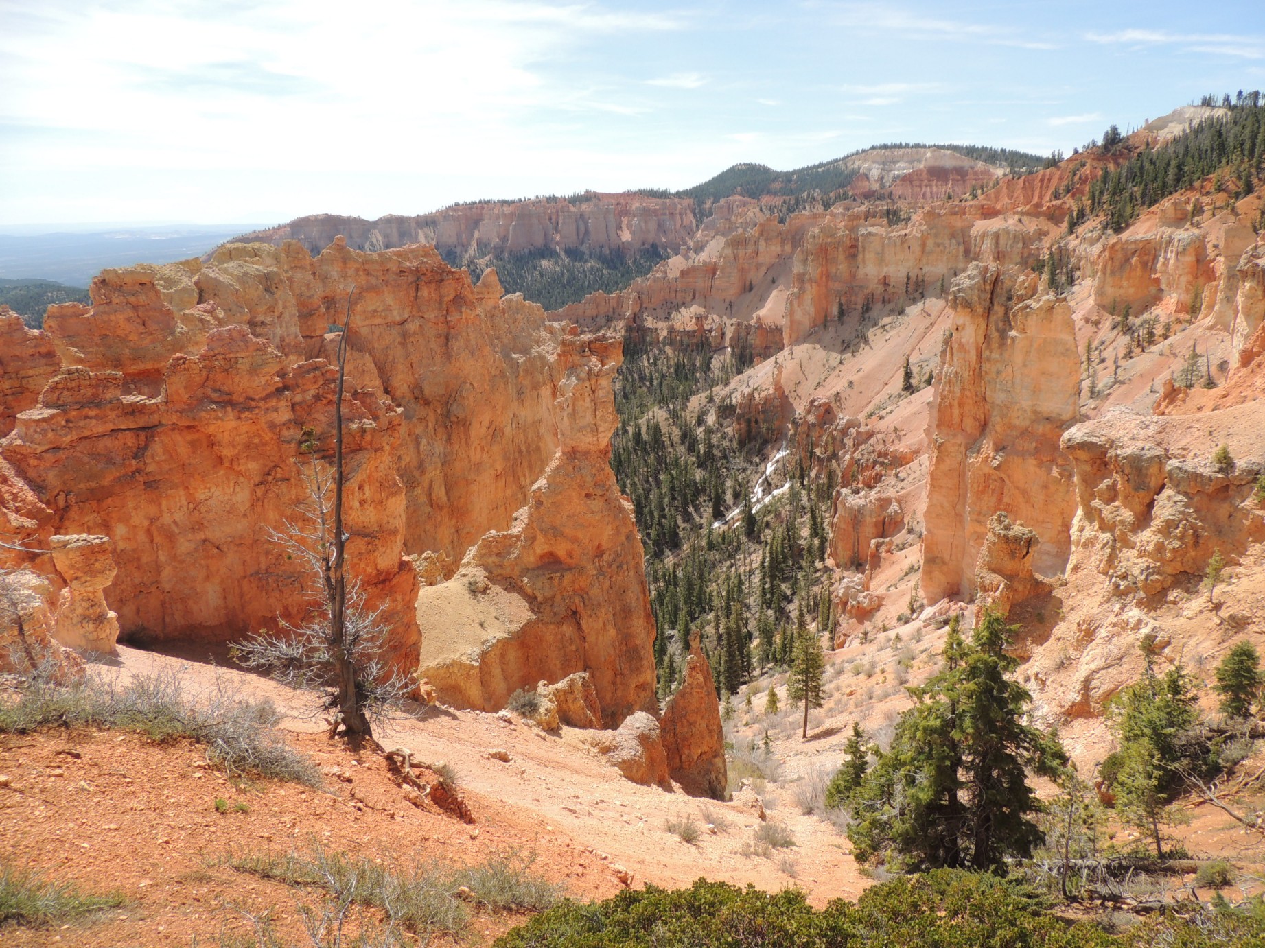
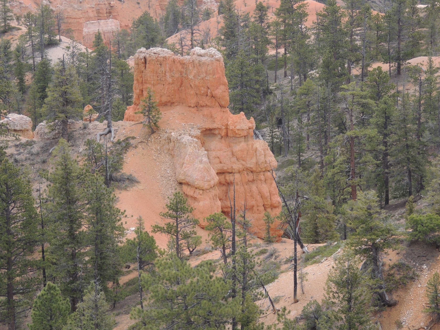
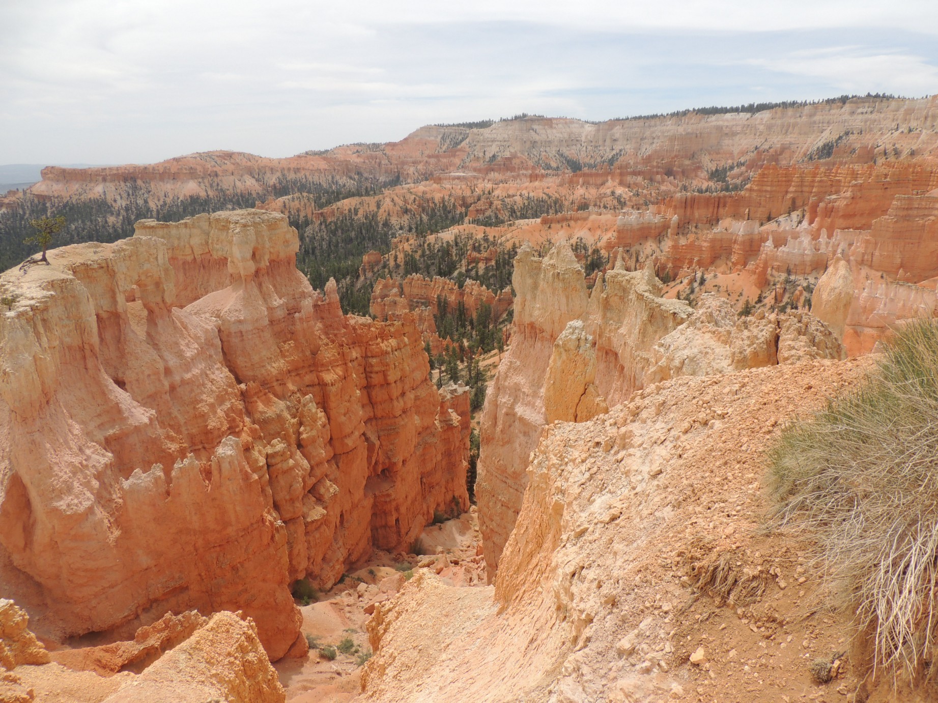
Bryce Canyon National Park (54/125)
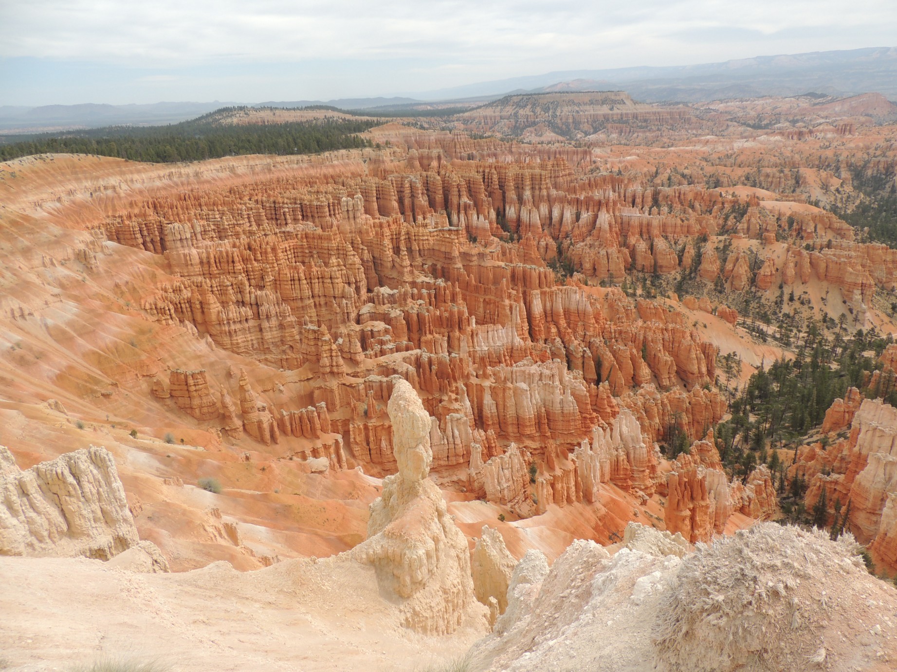
Bryce Canyon National Park (55/125)
Bryce Canyon National Park (56/125)
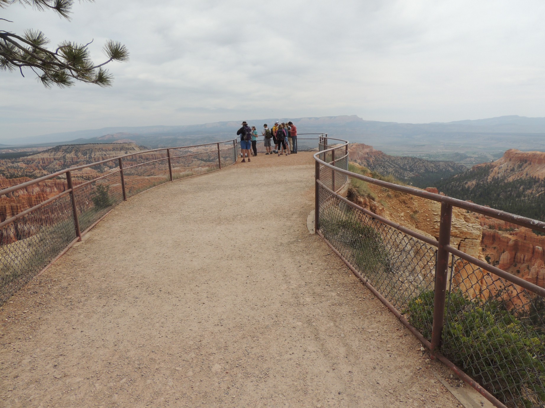
A lookout point at Bryce Canyon National Park (57/125)
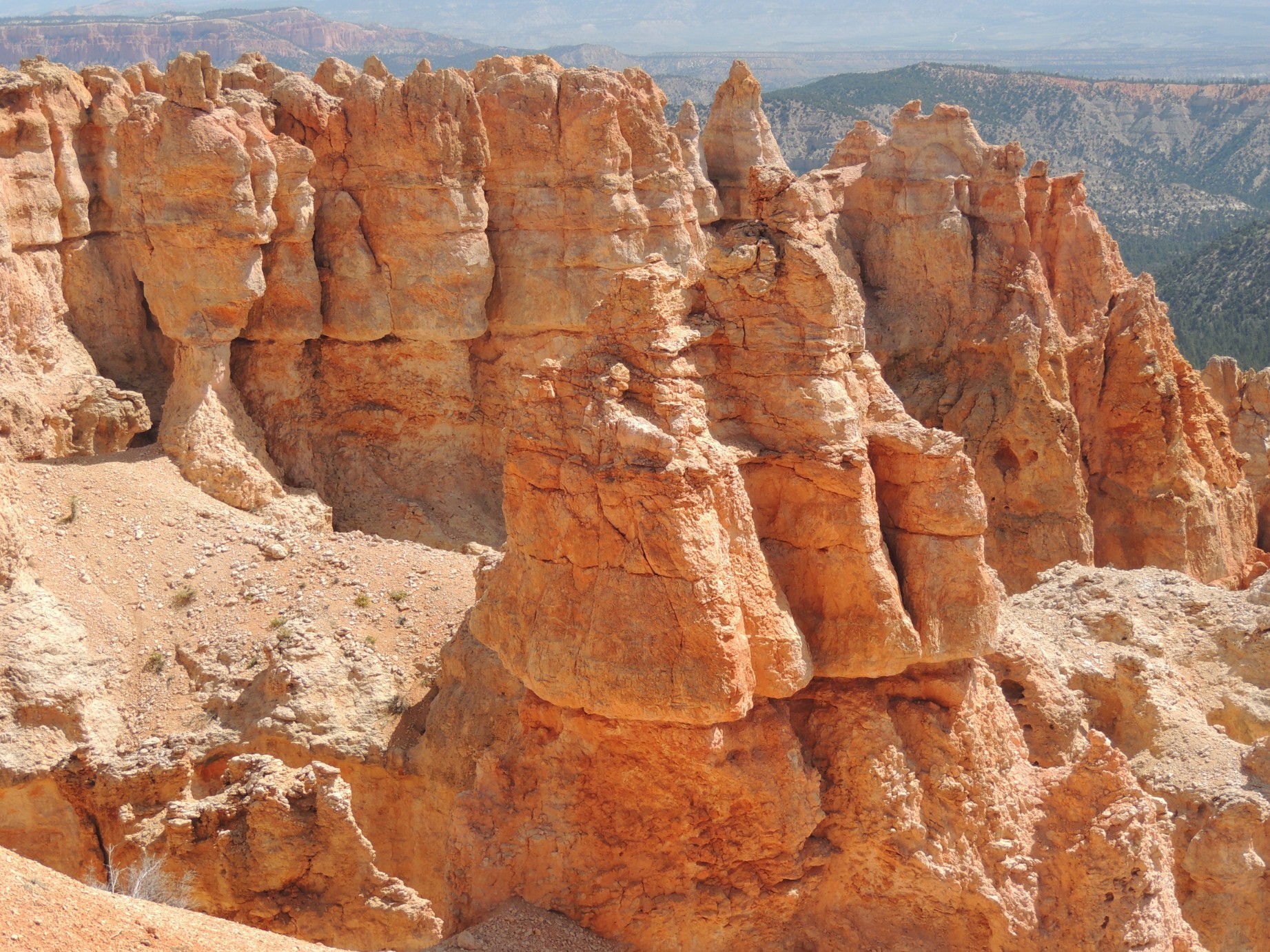
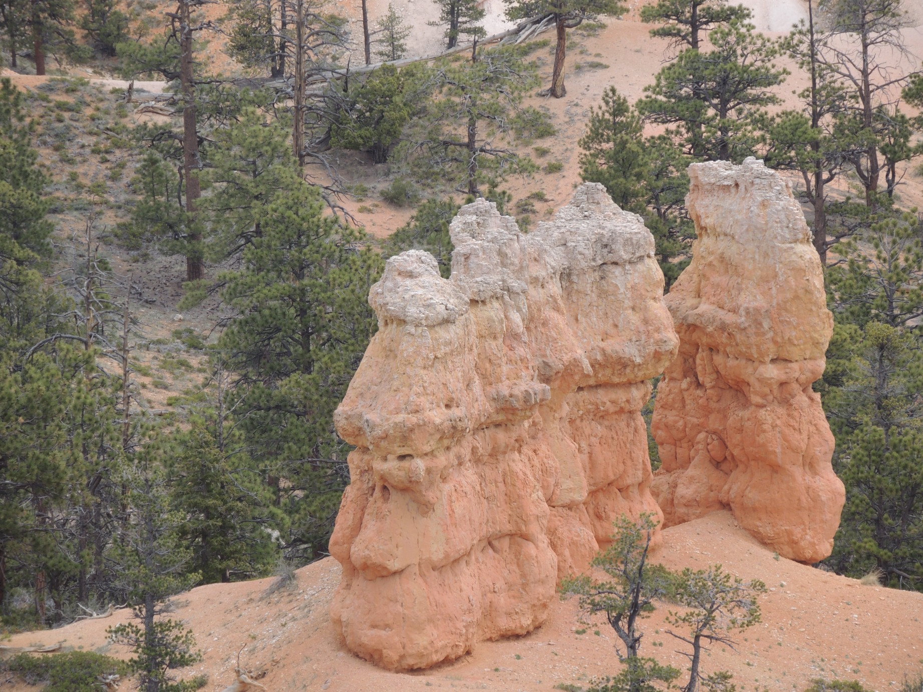
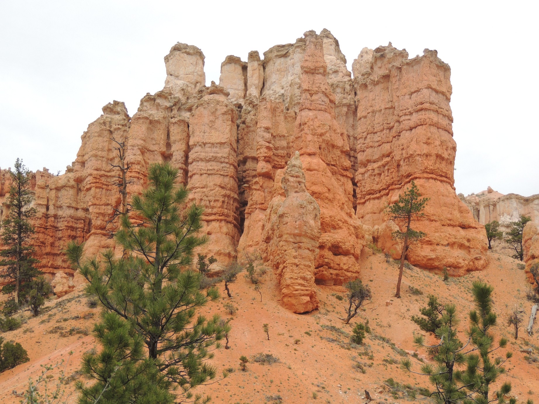
Bryce Canyon National Park (58/125)
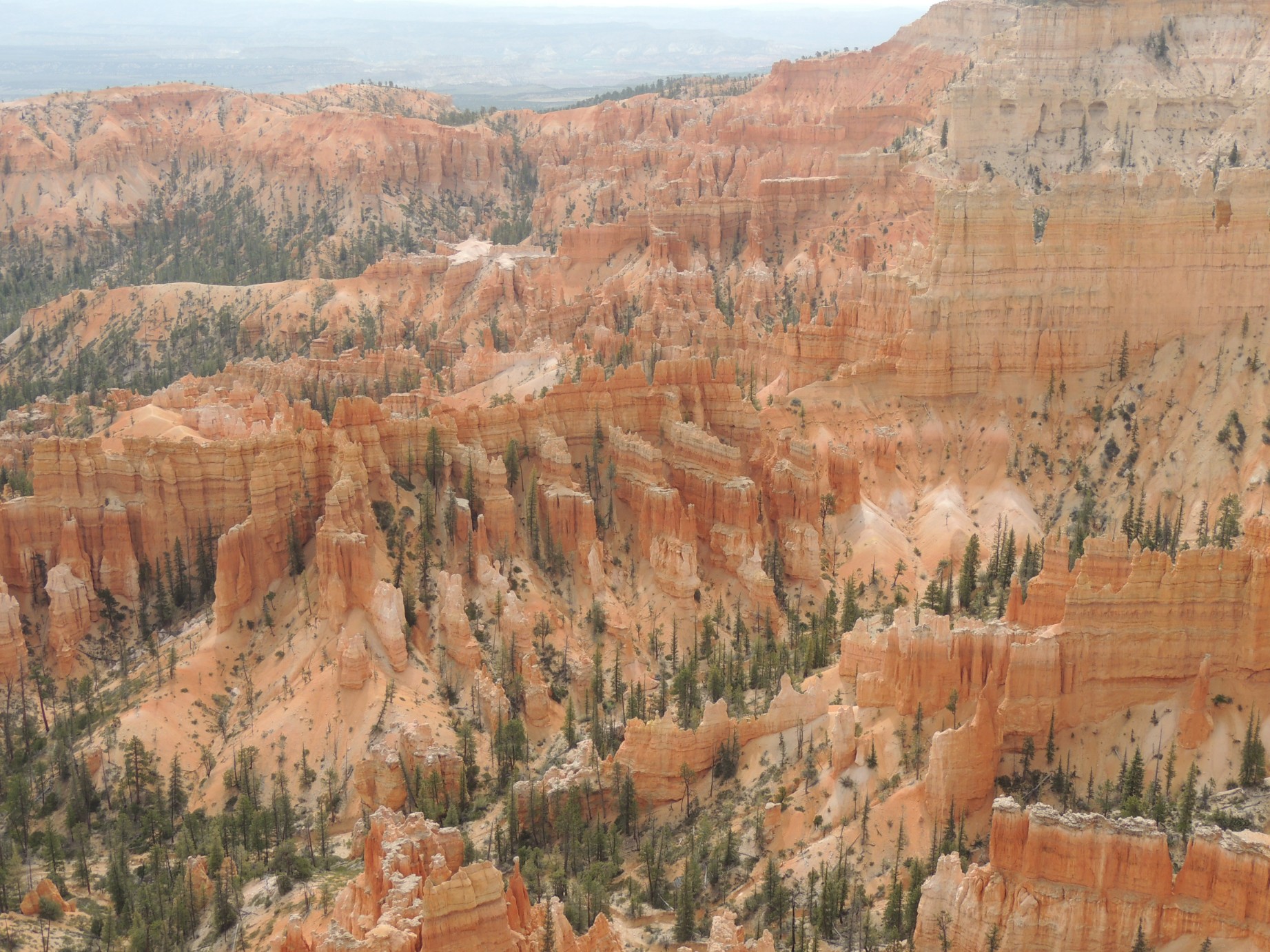
Bryce Canyon National Park (59/125)
Bryce Canyon National Park (60/125)
Bryce Canyon National Park (61/125)
Bryce Canyon National Park (62/125)
Bryce Canyon National Park (63/125)
Bryce Canyon National Park (64/125)
Bryce Canyon National Park (65/125)
Bryce Canyon National Park (66/125)
Bryce Canyon National Park (67/125)
Bryce Canyon National Park (68/125)
Bryce Canyon National Park (69/125)
Bryce Canyon National Park (70/125)
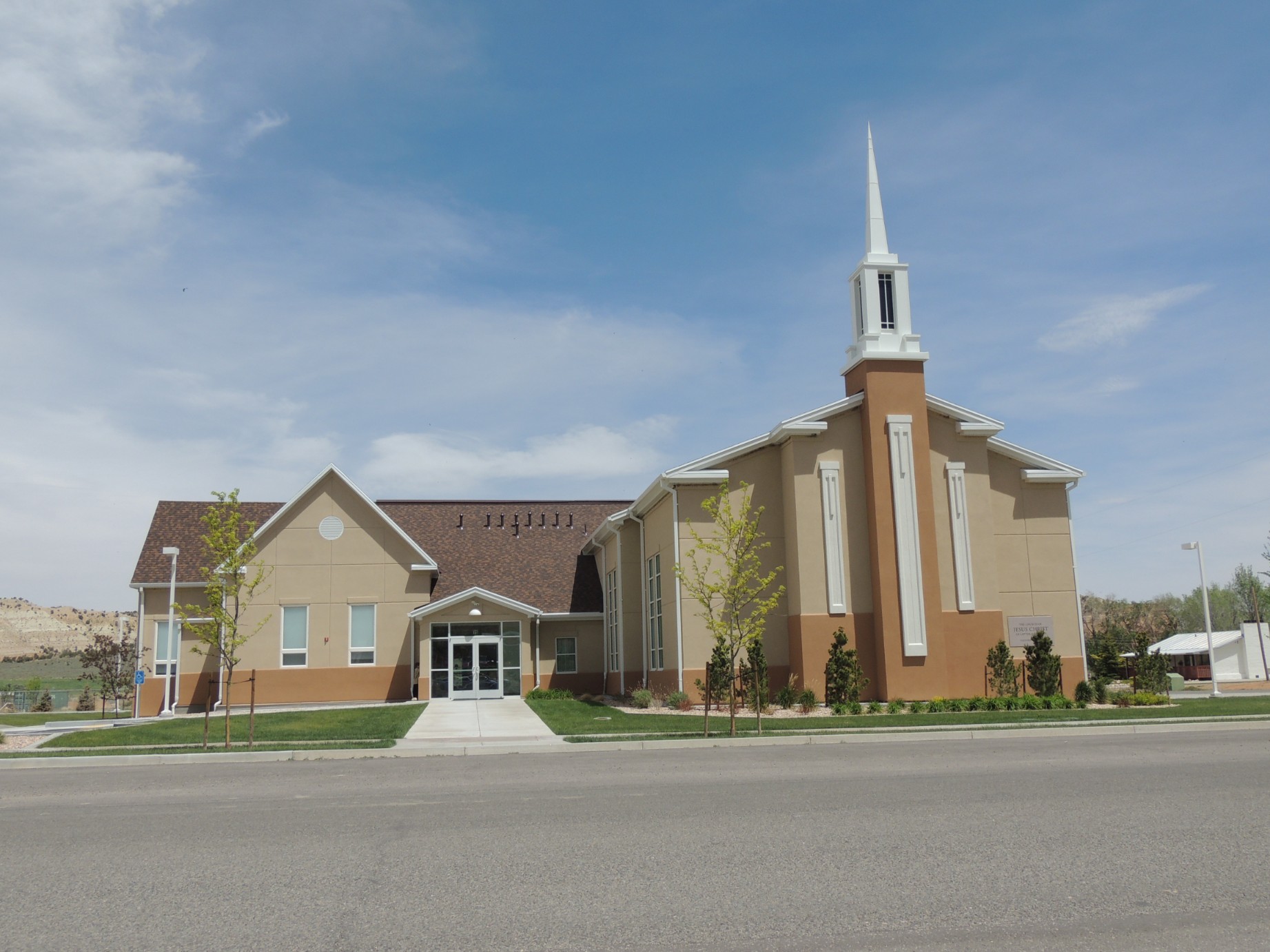
The Mormon Church in Cannonville Utah (71/125)
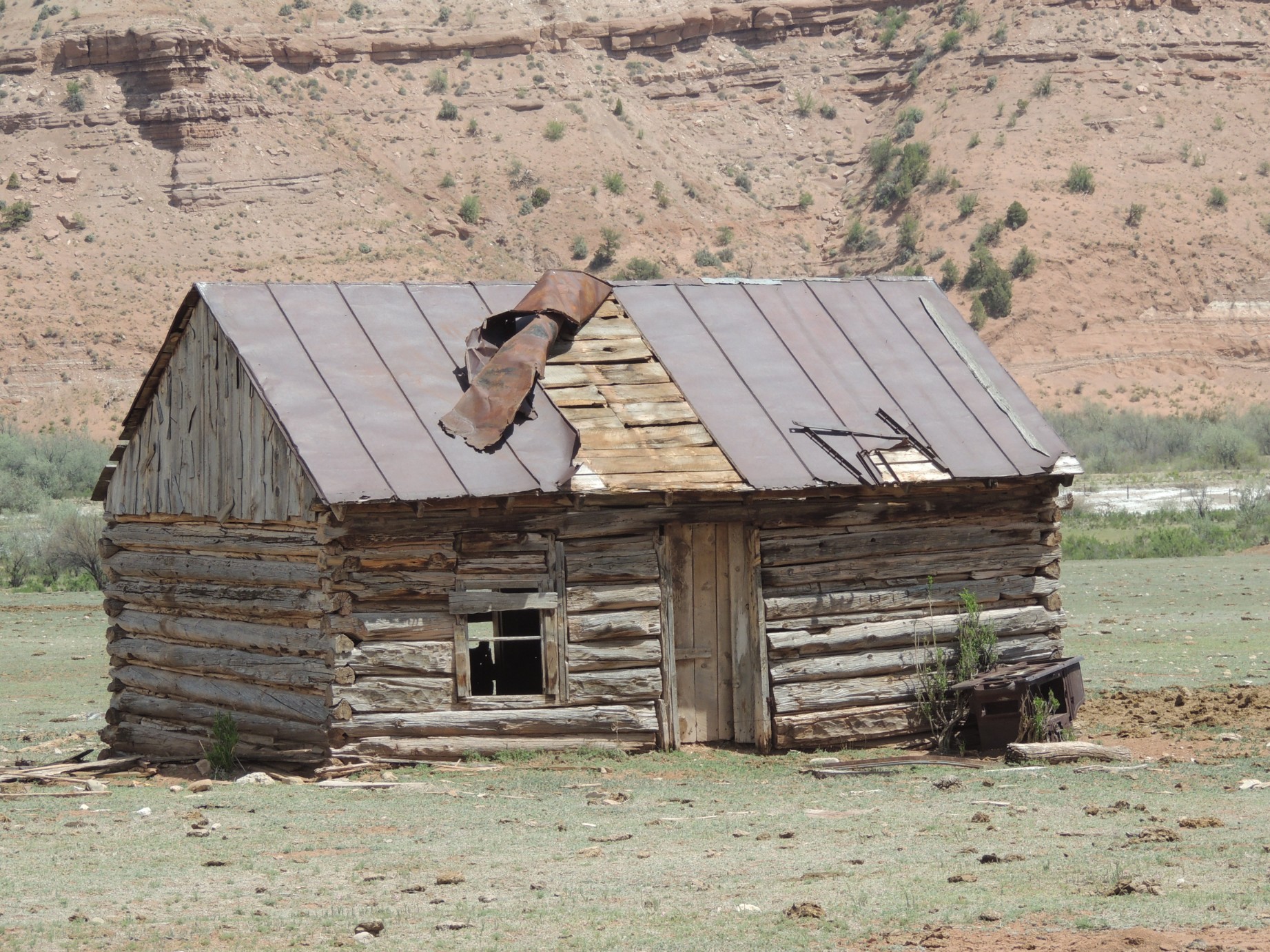
The remains of an old gas station in Cannonville Utah (72/125)
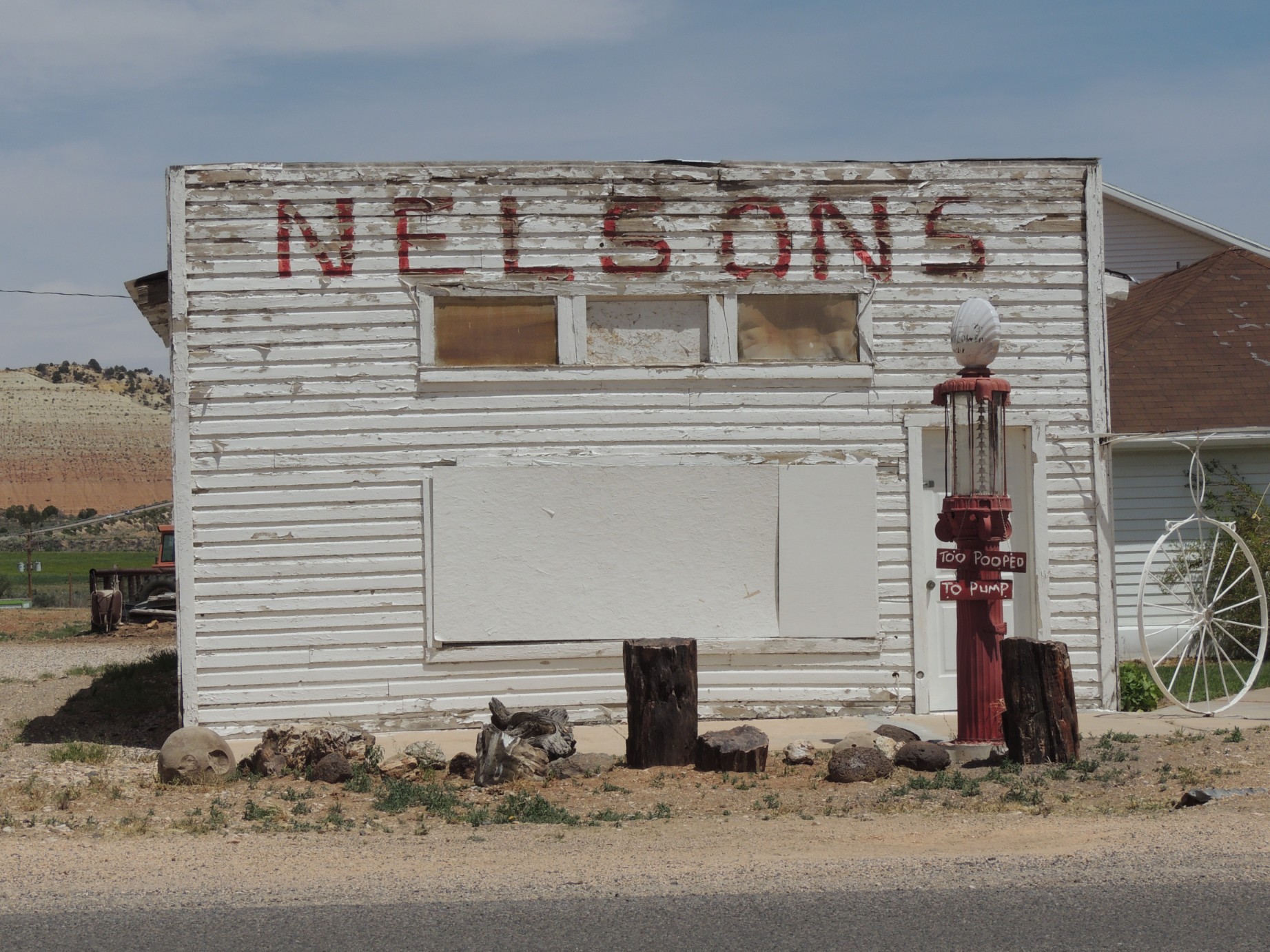
A shack on the outskirts of Cannonville Utah (73/125)
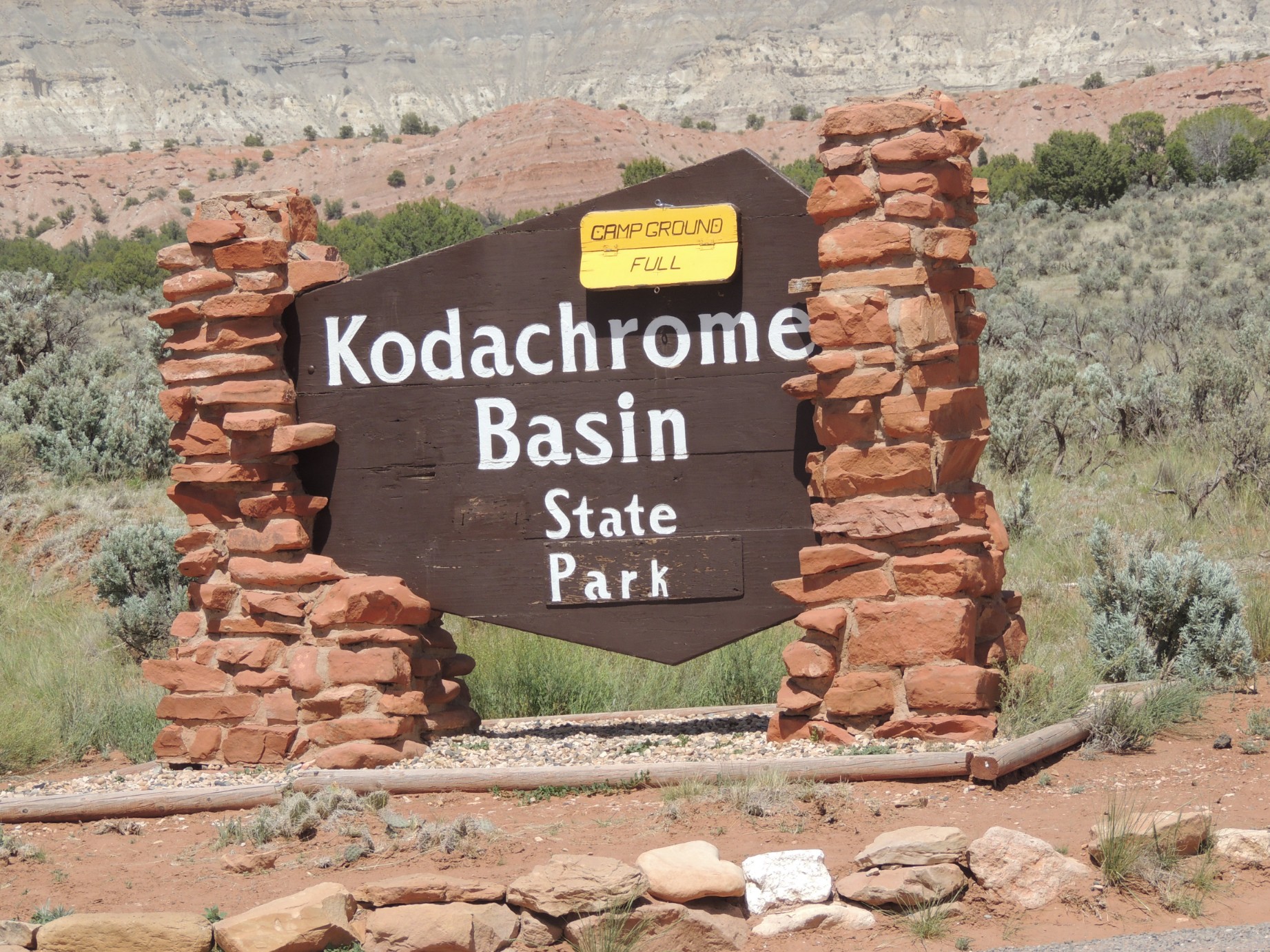
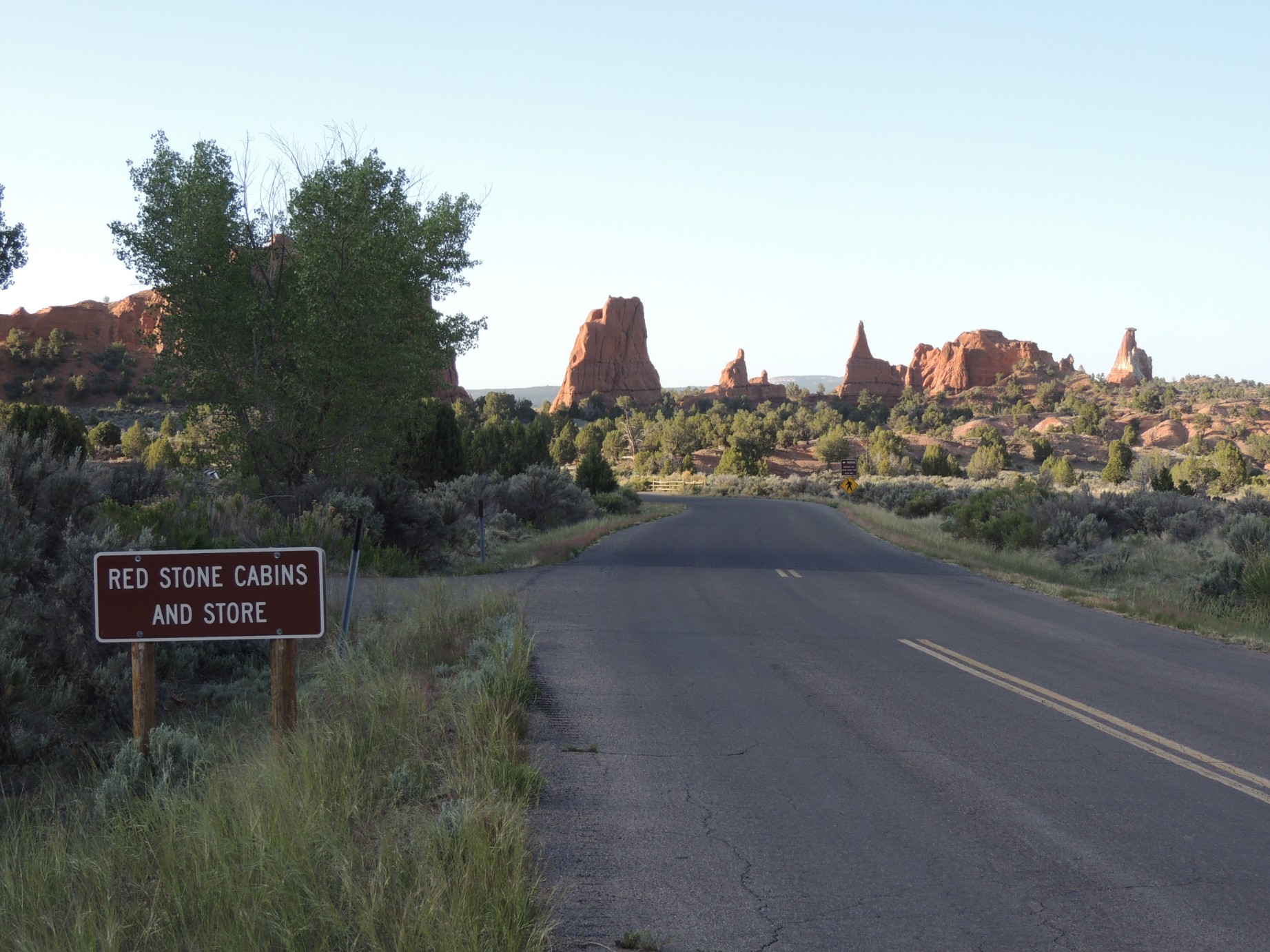
The entrance to Kodachrome State Park, Utah (74/125)
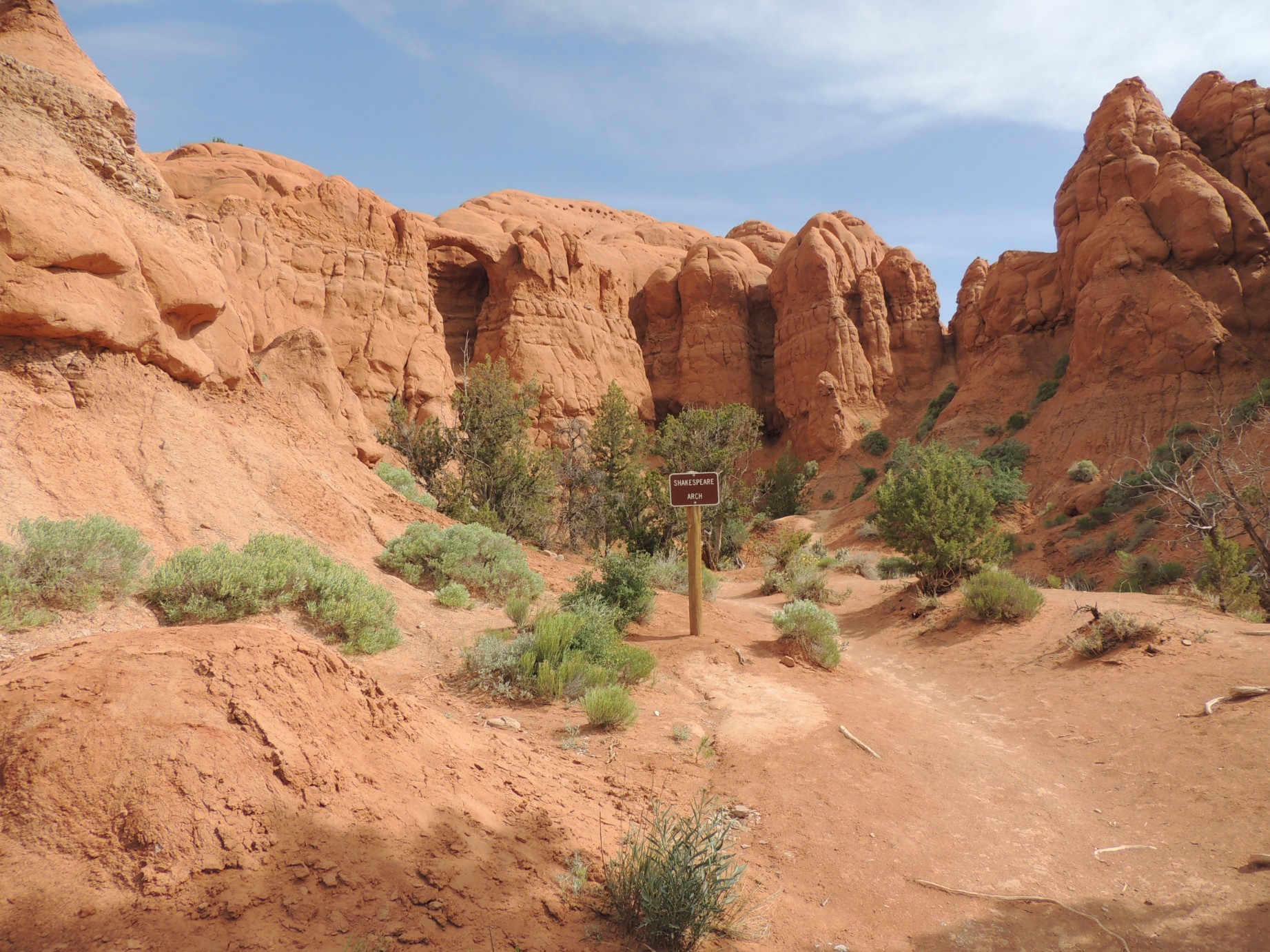
Shakespeare Arch along the Sentinel Trail in Kodachrome State Park (75/125)
Shakespeare Arch along the Sentinel Trail in Kodachrome State Park (76/125)
Shakespeare Arch along the Sentinel Trail in Kodachrome State Park (77/125)
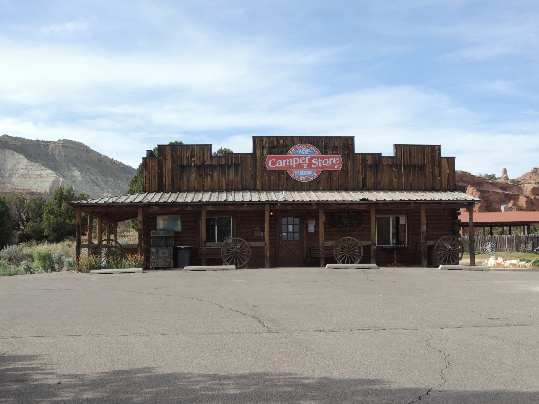
The store at Kodachrome State Park (78/125)
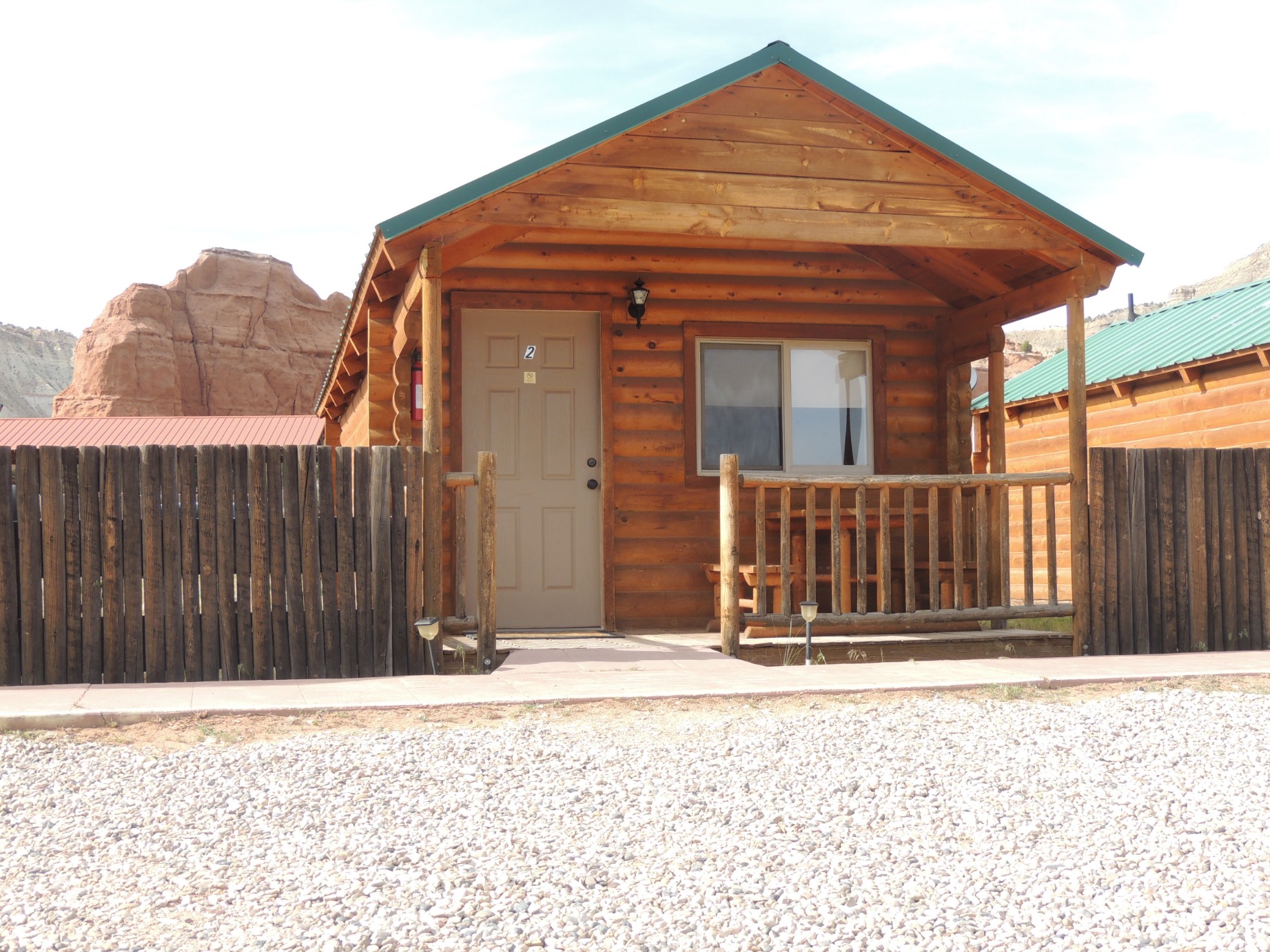
A rental cabin in Kodachrome State Park (79/125)
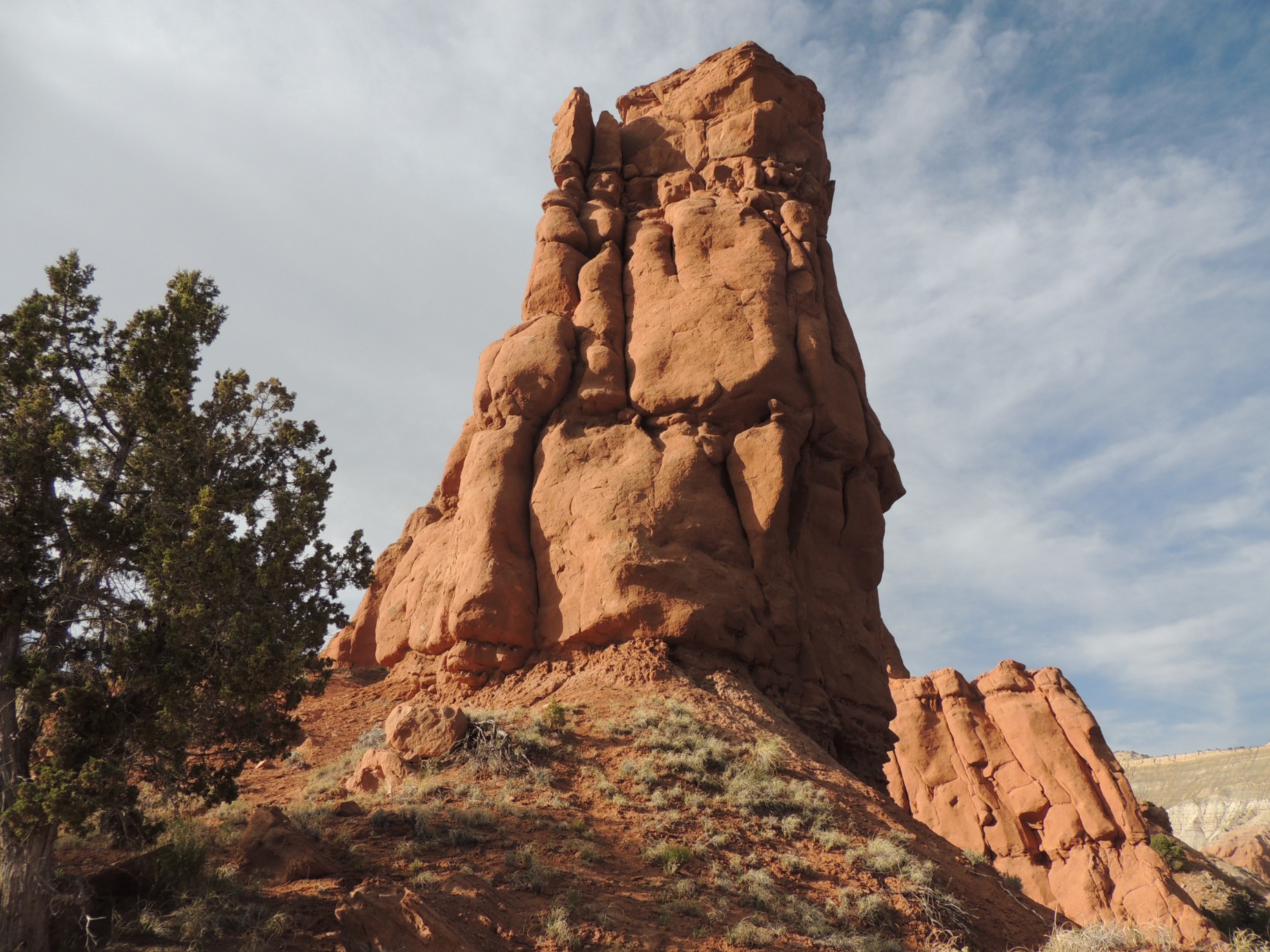
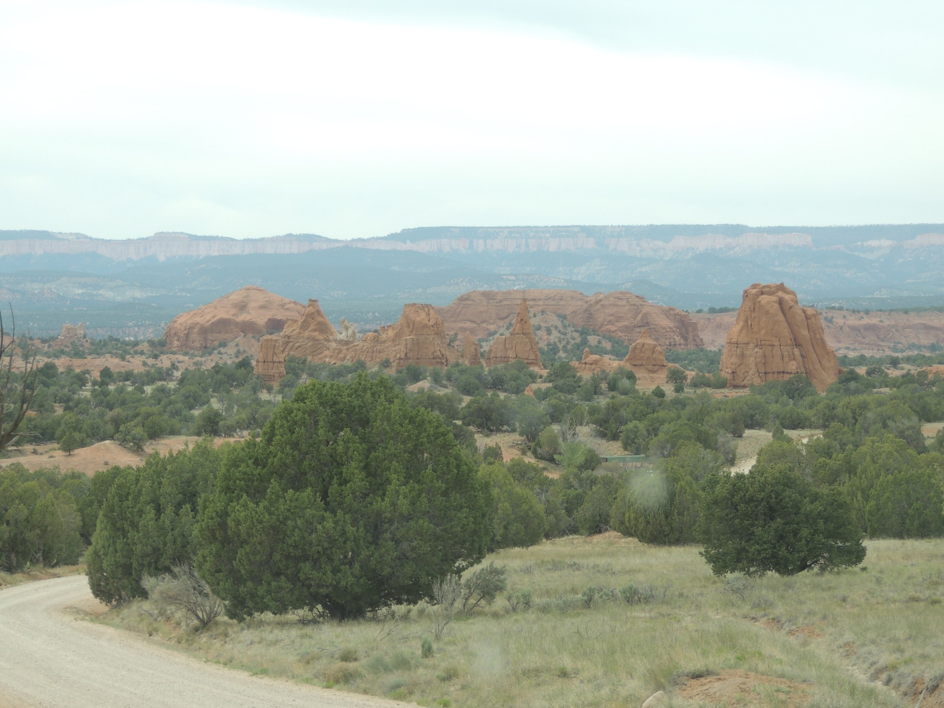
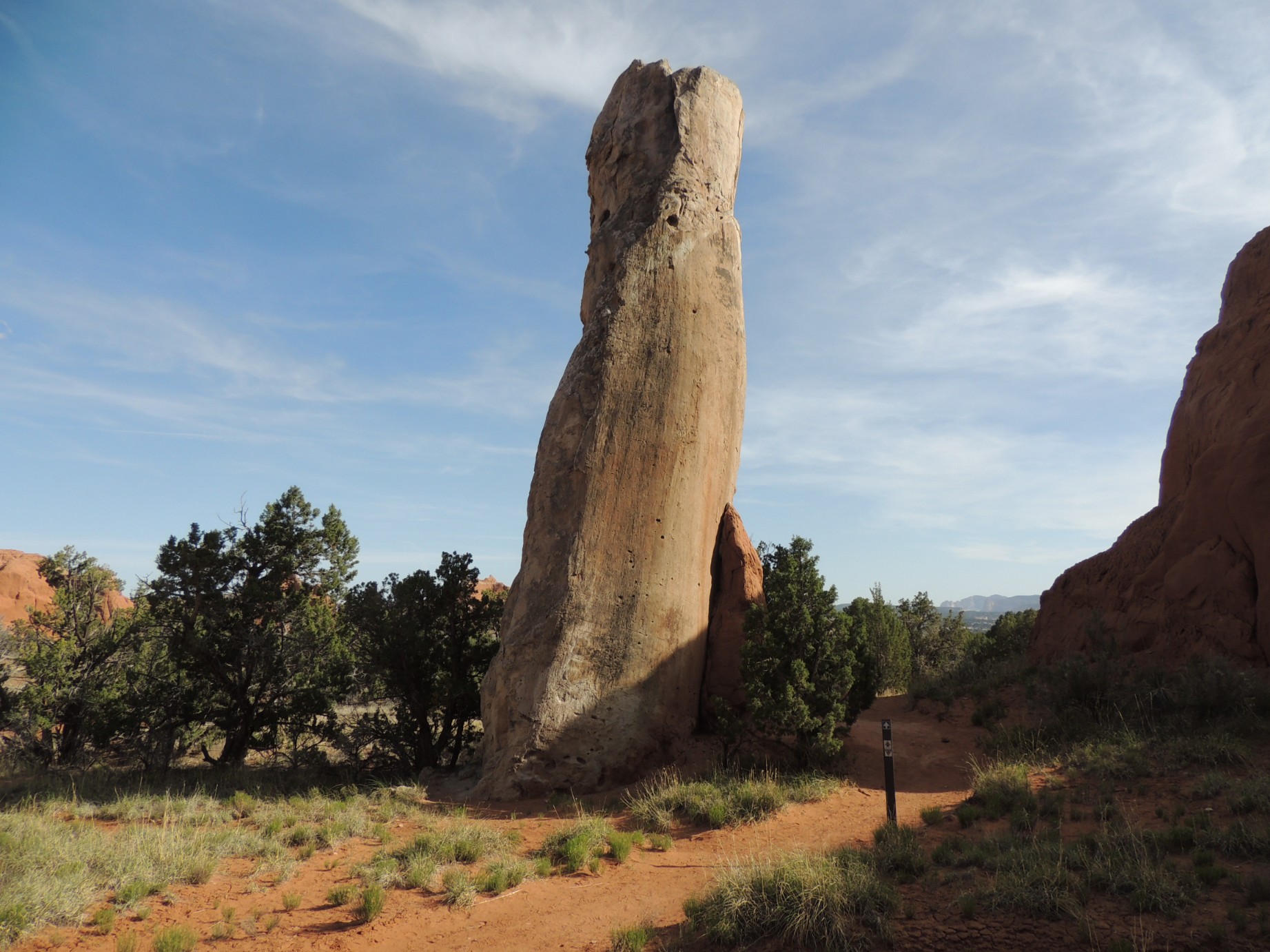
A formation in Kodachrome State Park (80/125)
A formation in Kodachrome State Park (81/125)
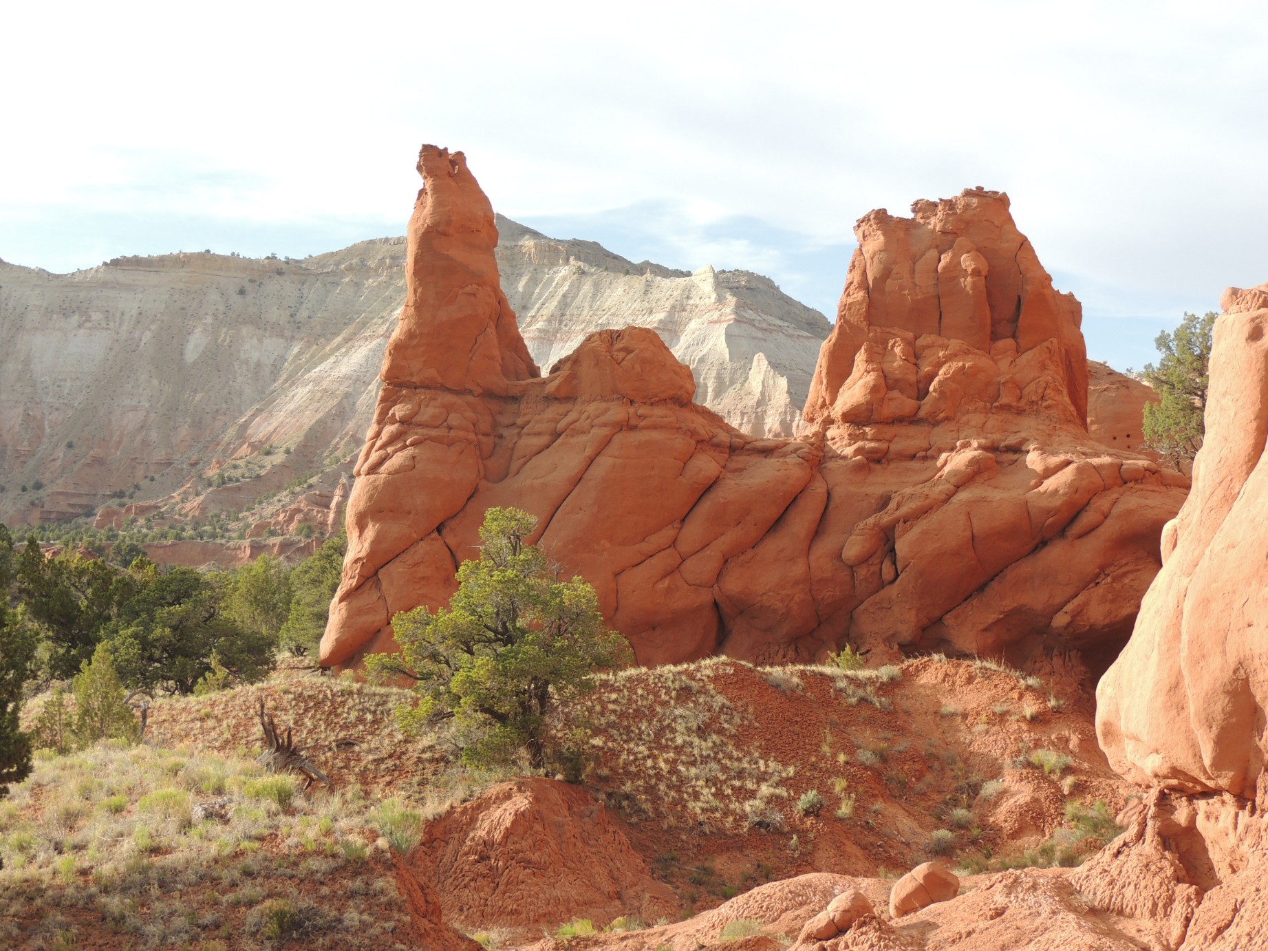
A formation in Kodachrome State Park (82/125)
A formation in Kodachrome State Park (83/125)
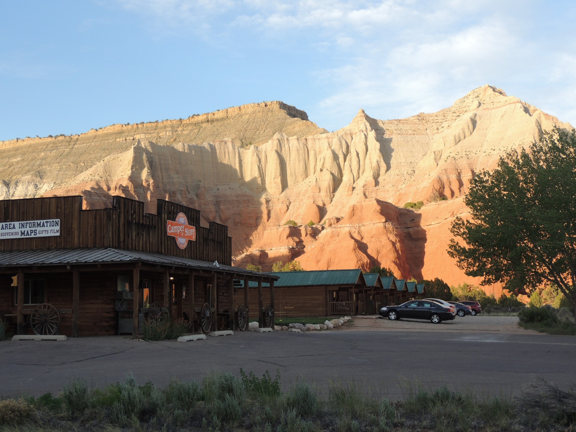
The store and rental cabins at Kodachrome State Park (84/125)
The store and cabin area of Kodachrome State Park (85/125)
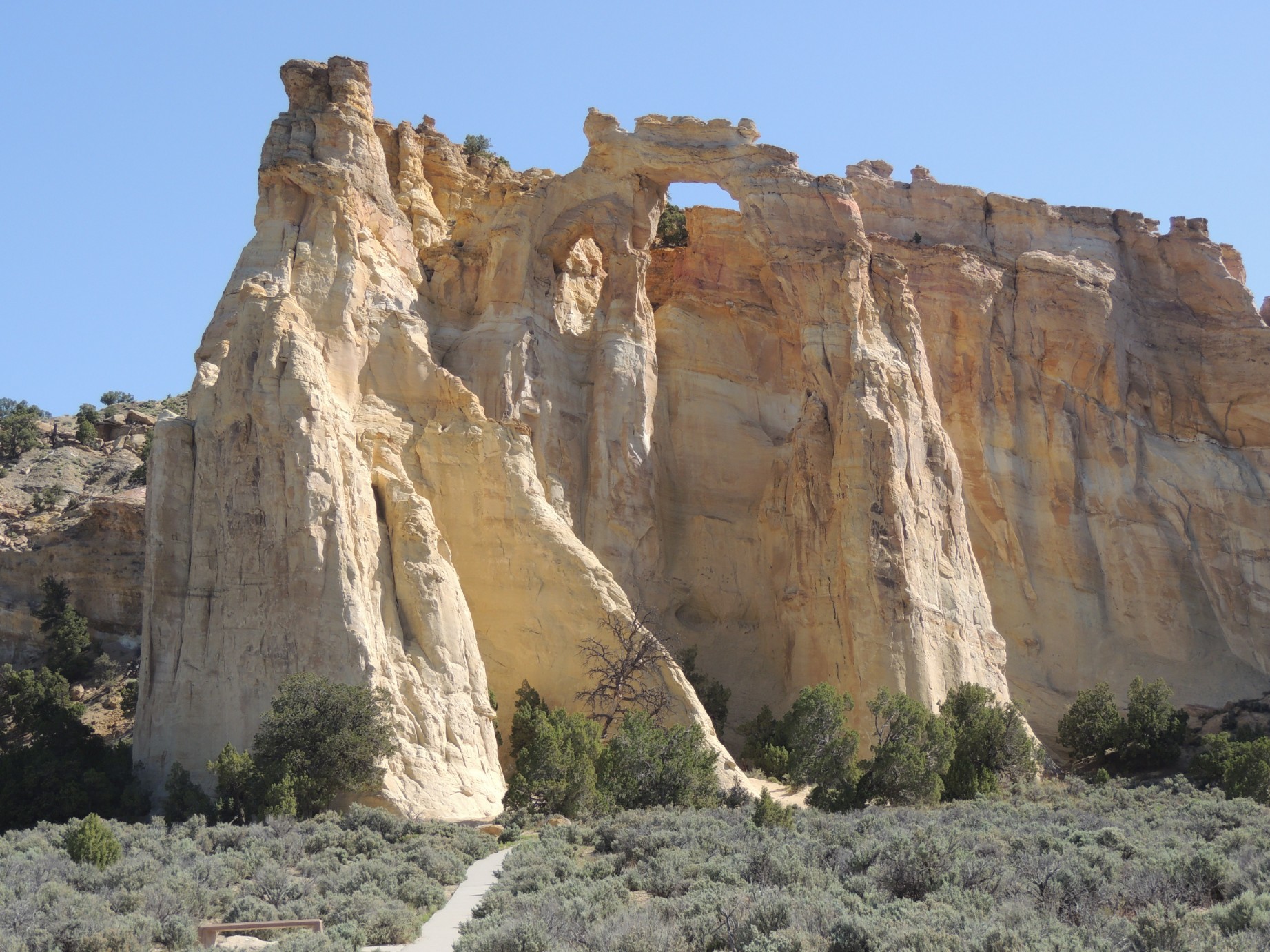
The Grosvenor Arch south of Kodachrome State Park (86/125)
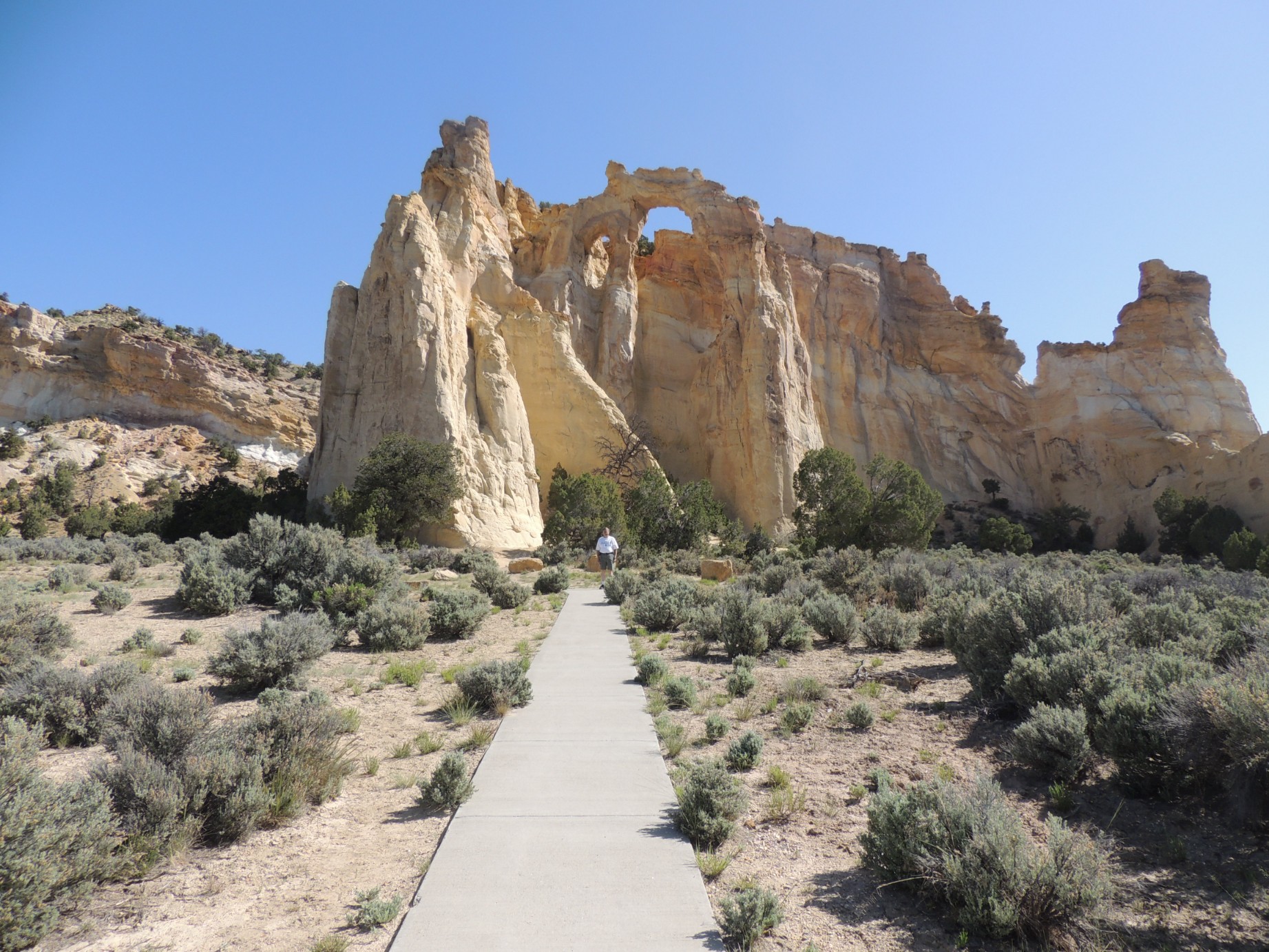
The Grosvenor Arch south of Kodachrome State Park (87/125)
A view of Hackberry Canyon south of Kodachrome State Park (88/125)
A view of Hackberry Canyon south of Kodachrome State Park (89/125)
Wood Hollow Reservoir seen from above the Escalante Petrified State Park (90/125)
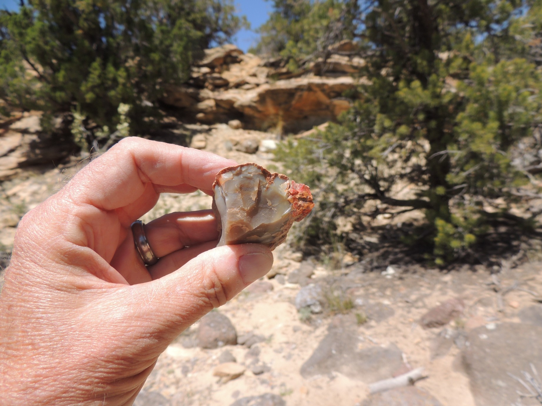
A piece of petrified wood at the Escalante Petrified State Park (91/125)
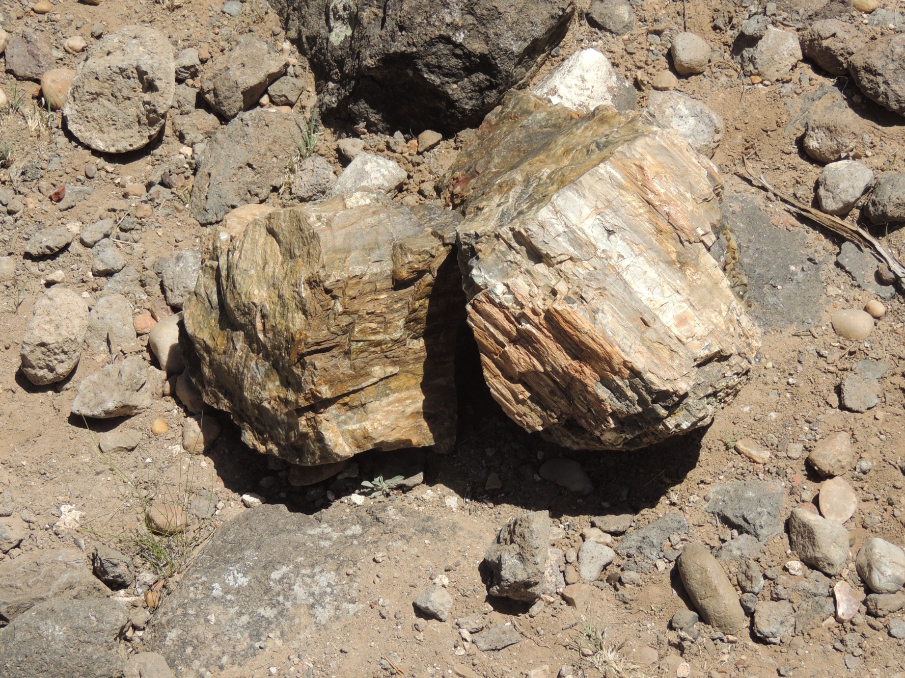
A piece of petrified wood at the Escalante Petrified State Park (92/125)
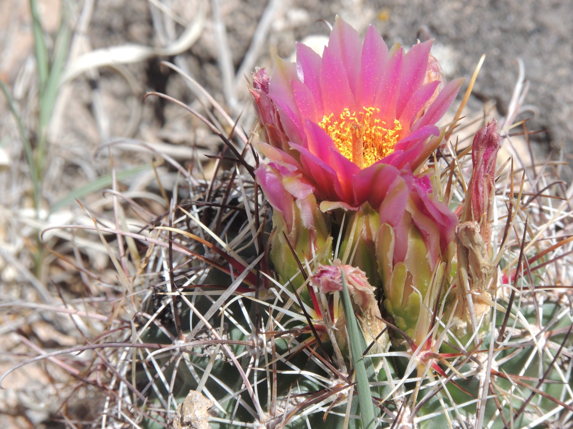
A flower in bloom at the Escalante Petrified State Park (93/125)
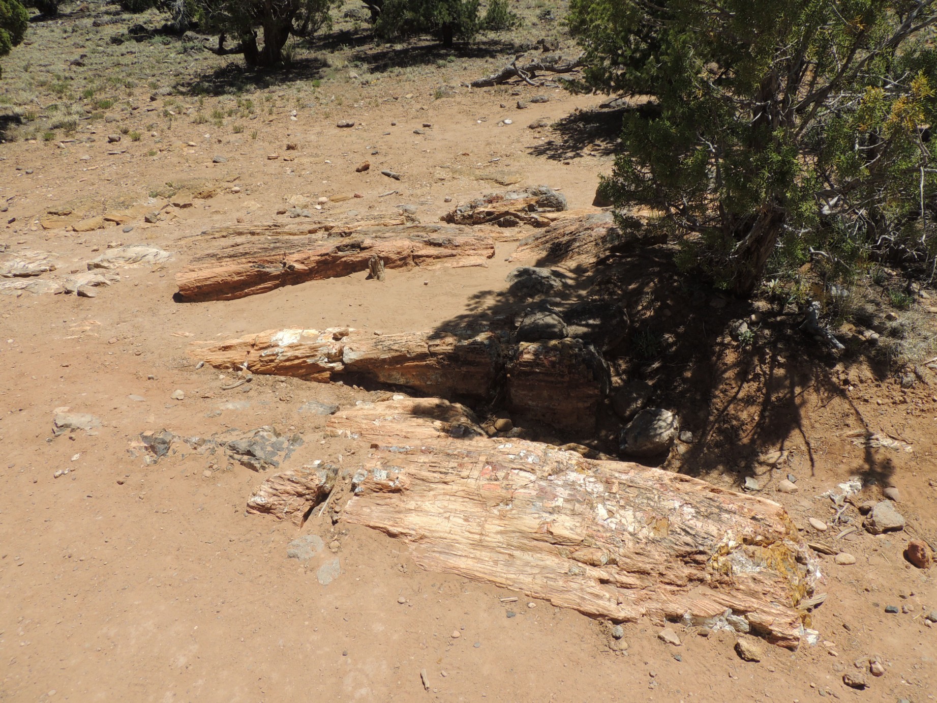
A petrified log at the Escalante Petrified State Park (94/125)
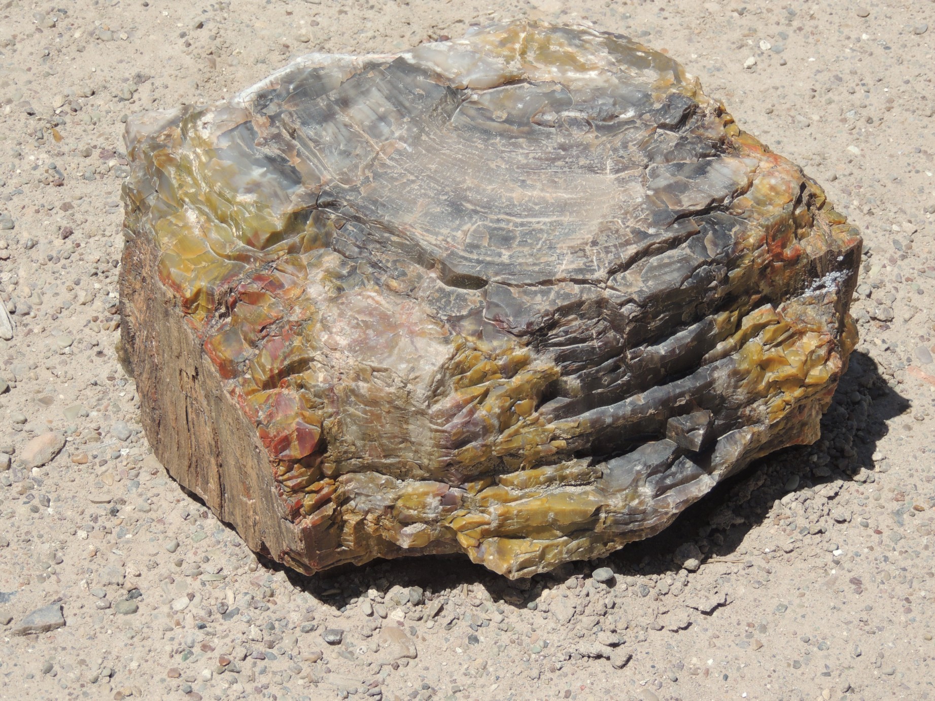
A piece of petrified wood at the Escalante Petrified State Park (95/125)
A rock formation at the Escalante Petrified State Park (96/125)
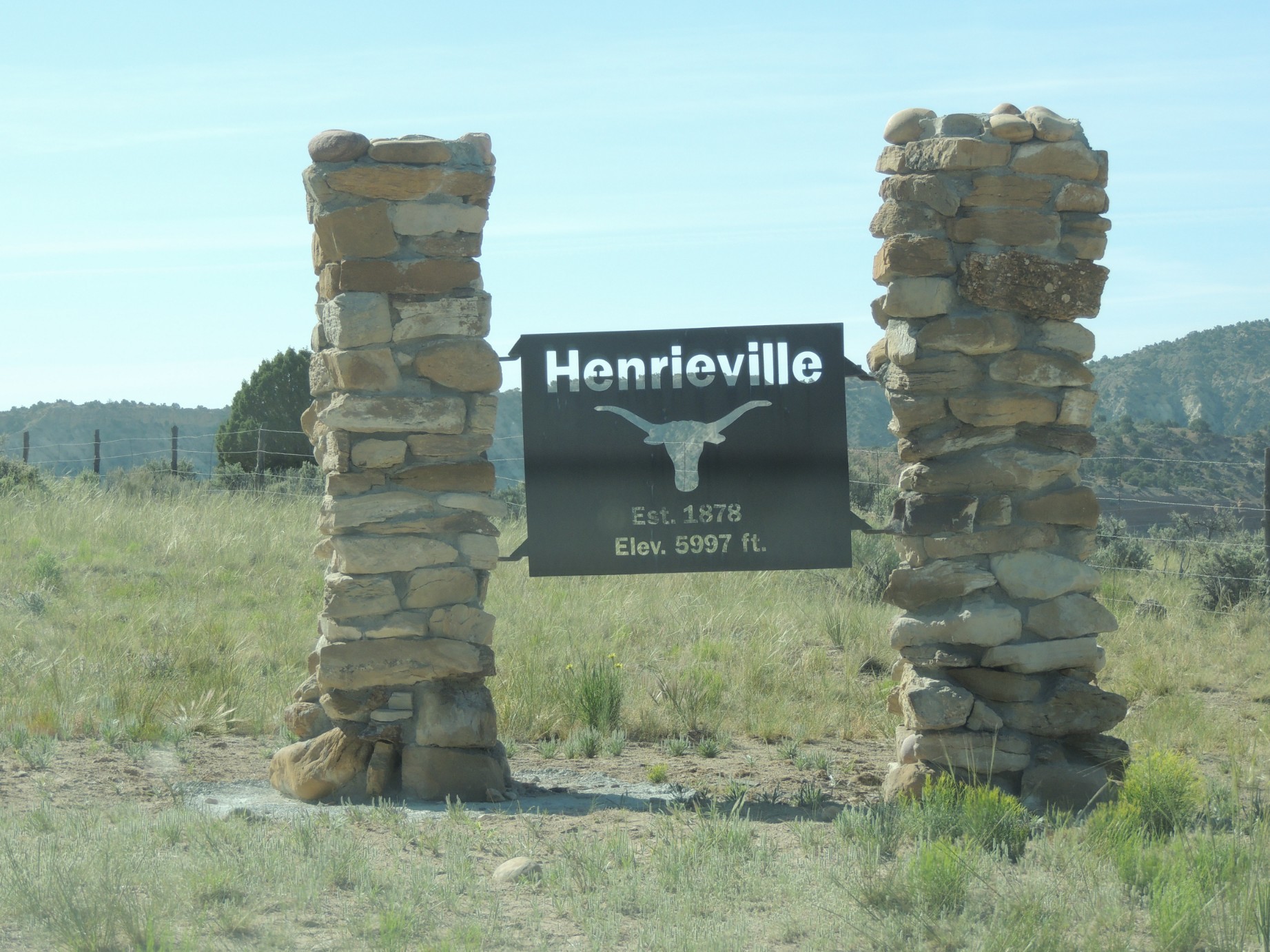
The entrance to Henrieville Utah, population 223 (97/125)
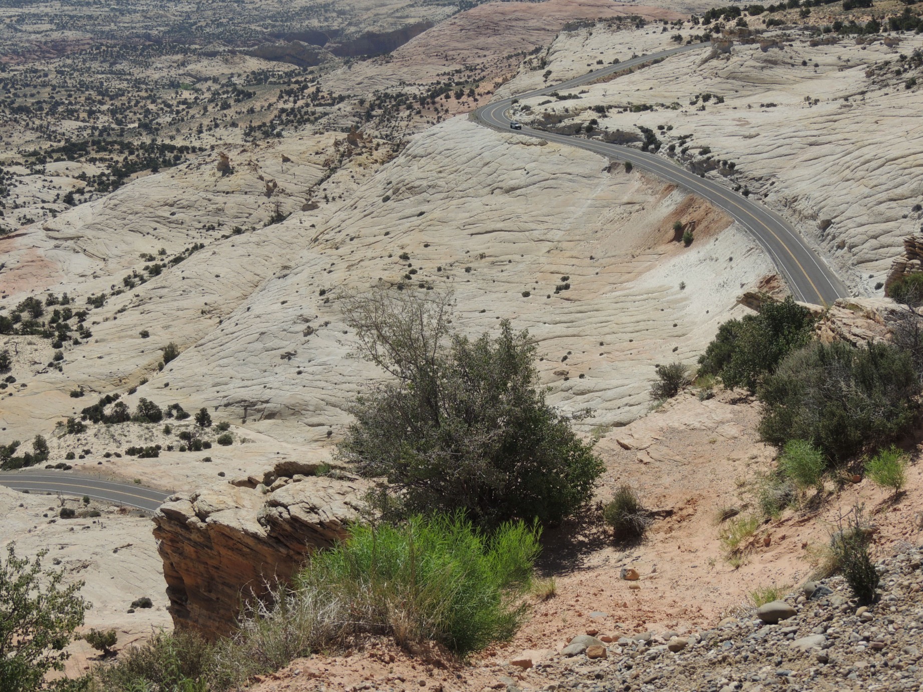
A view from Utah Scenic Route 12, the Million Dollar Highway (98/125)
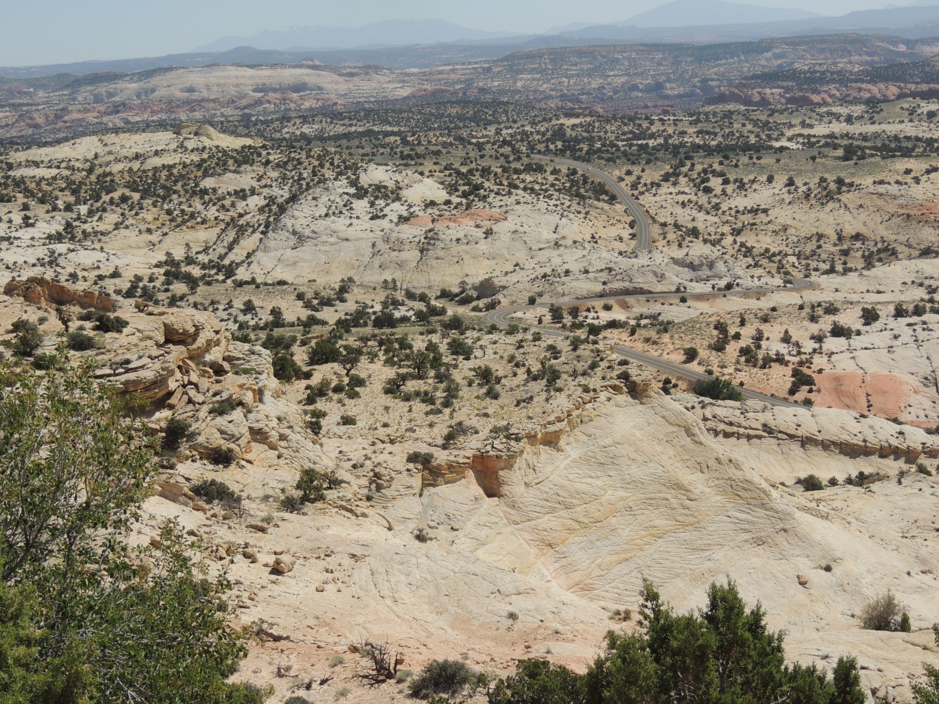
A view from Utah Scenic Route 12, the Million Dollar Highway (99/125)
A view from Utah Scenic Route 12, the Million Dollar Highway (100/125)
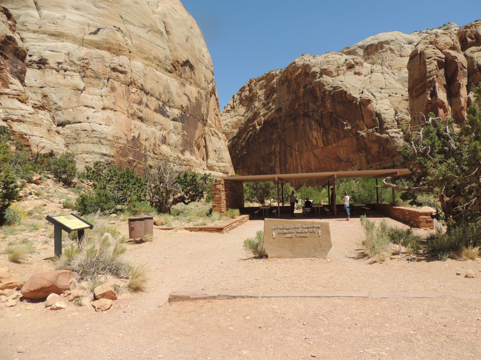
The entrance to the Petroglyphs Narrows Pioneer Register (101/125)
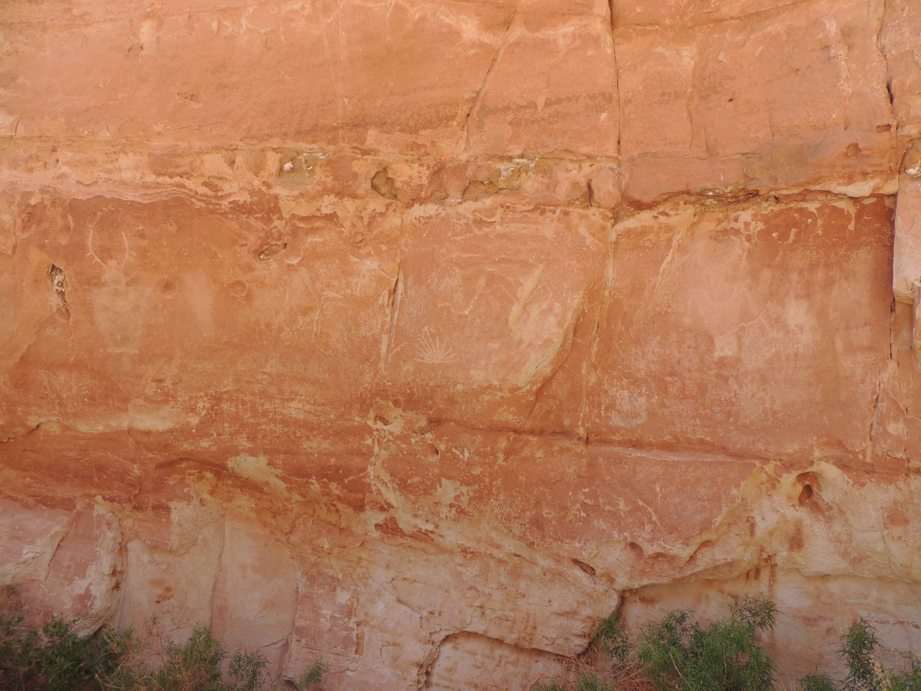
Pioneers passing through Capital Gorge etched their names in the sandstone (102/125)
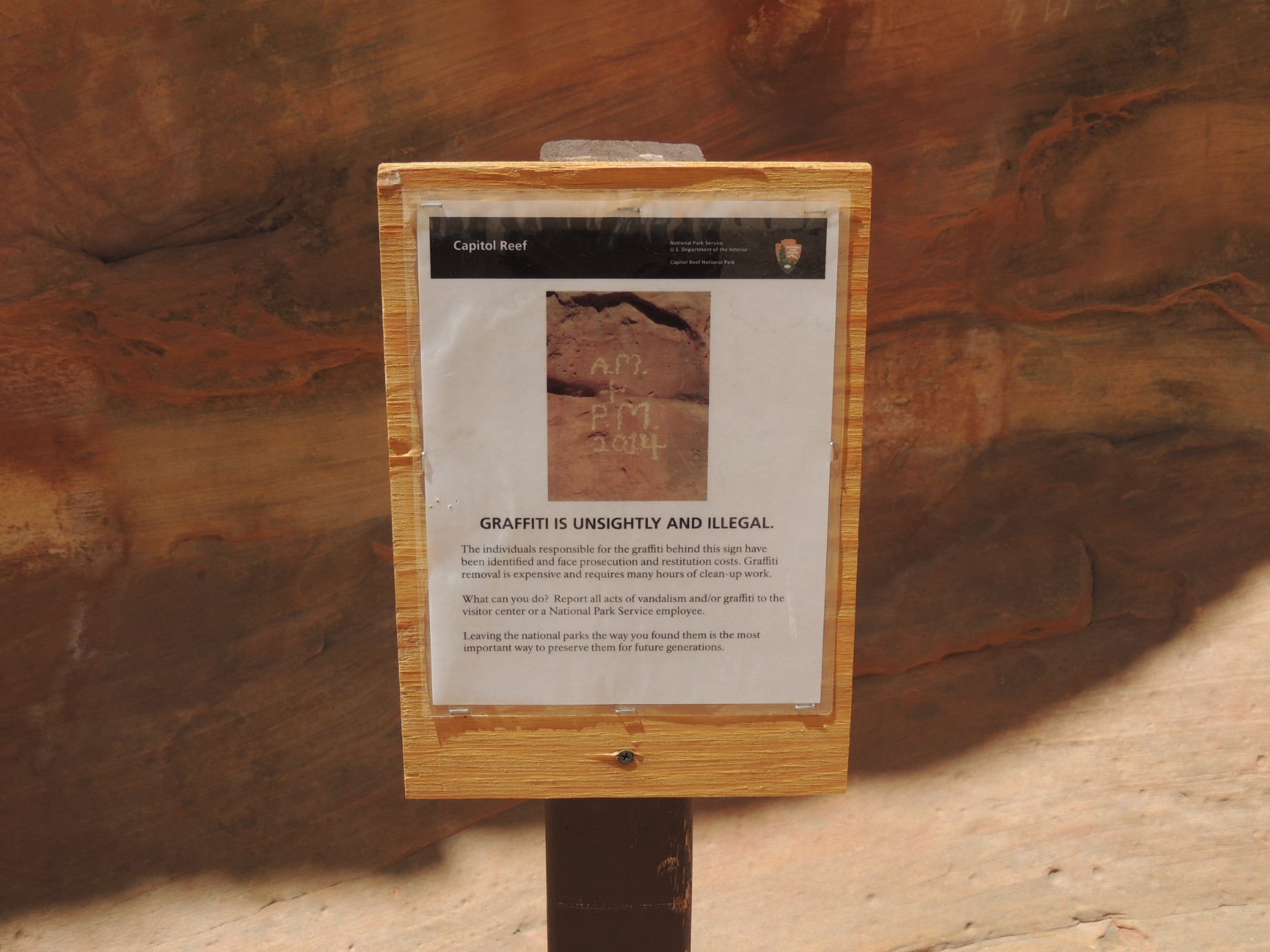
A sign warning against graffiti at The Pioneer Register (103/125)
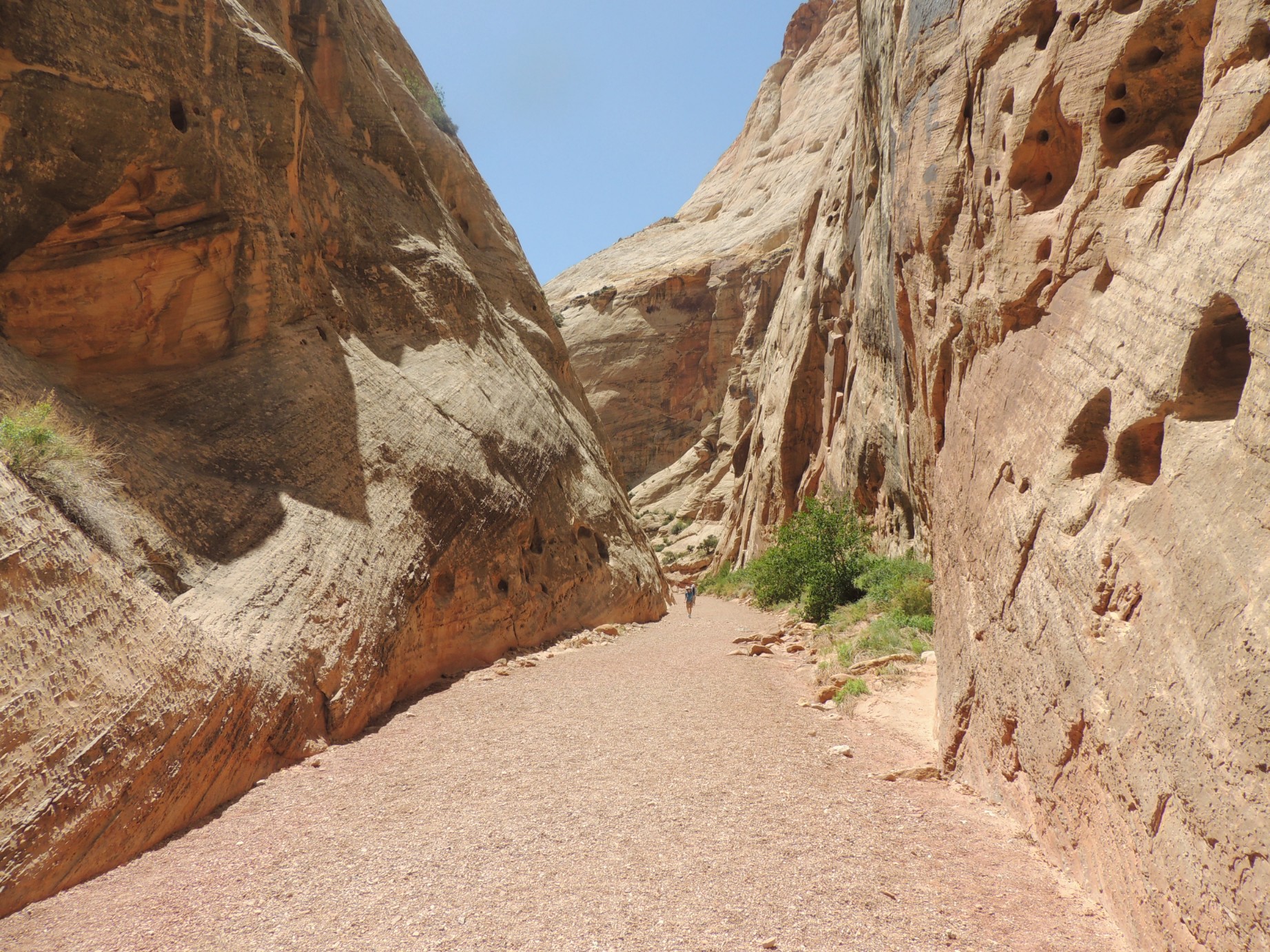
The trail through the "tanks" to the Pioneer Register (104/125)
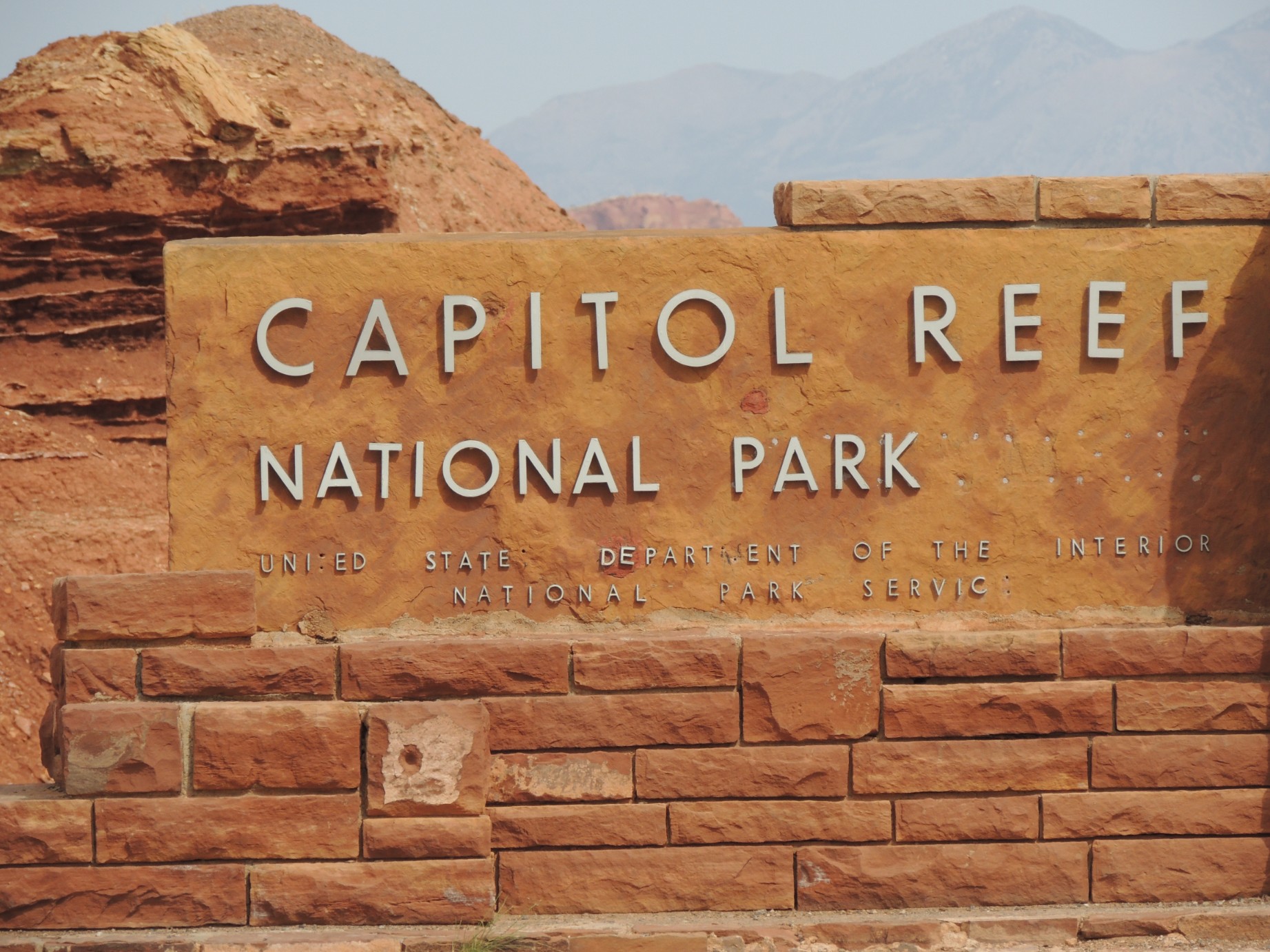
The entrance to Capital Reef National Park (105/125)
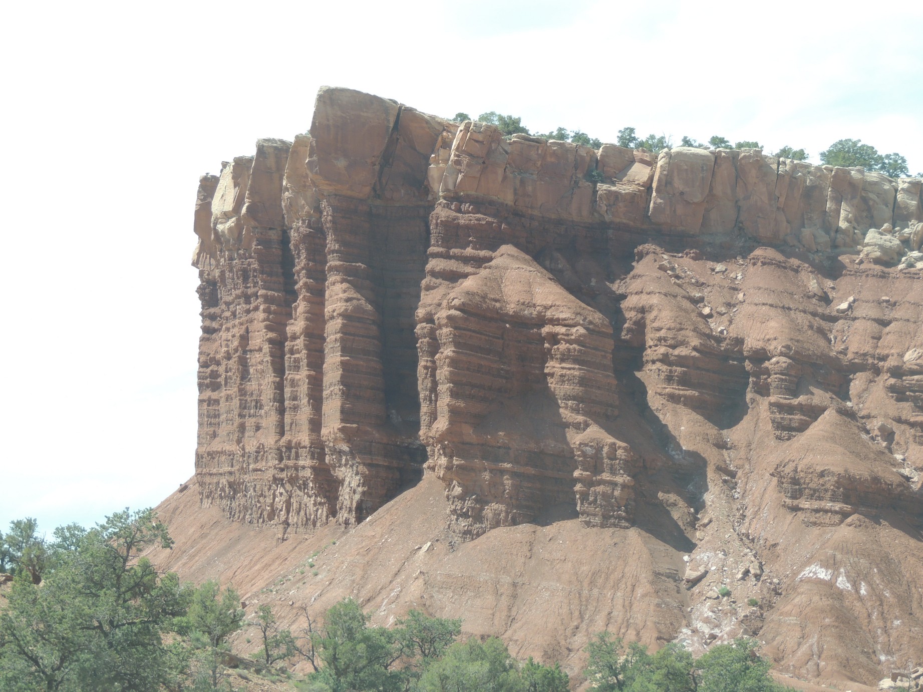
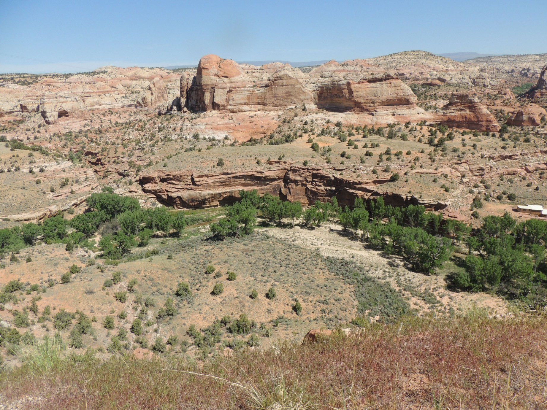
A portion of the Capital Reef in Capital Reef National Park (106/125)
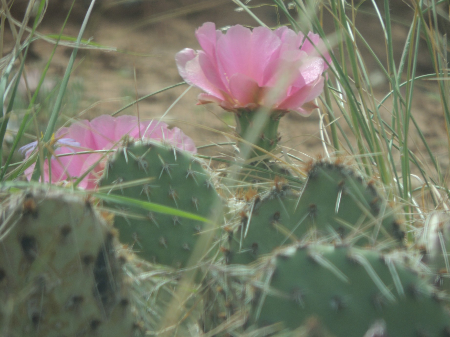
A cactus in bloom in Capital Reef National Park (107/125)
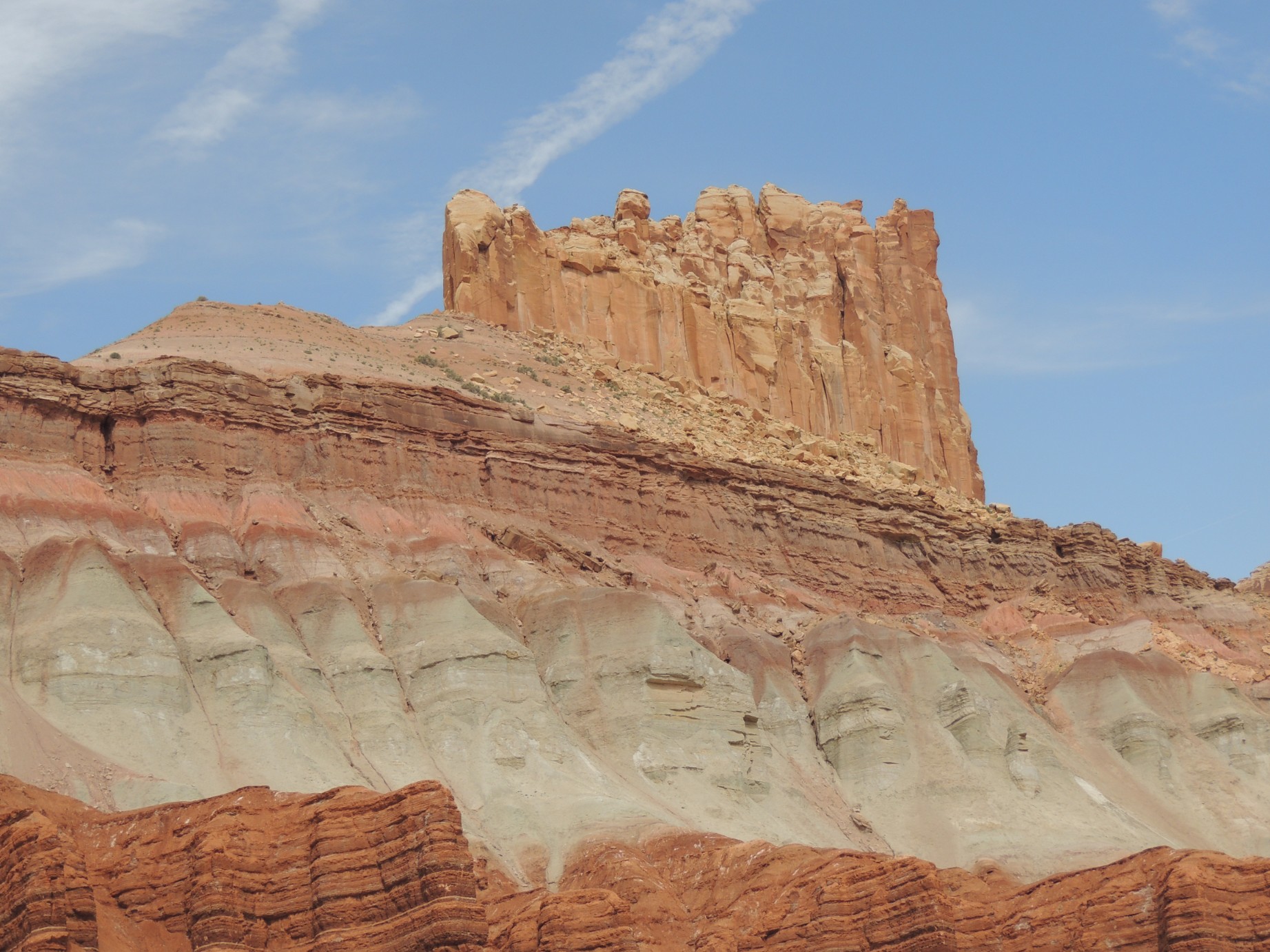
A portion of the Capital Reef in Capital Reef National Park (108/125)
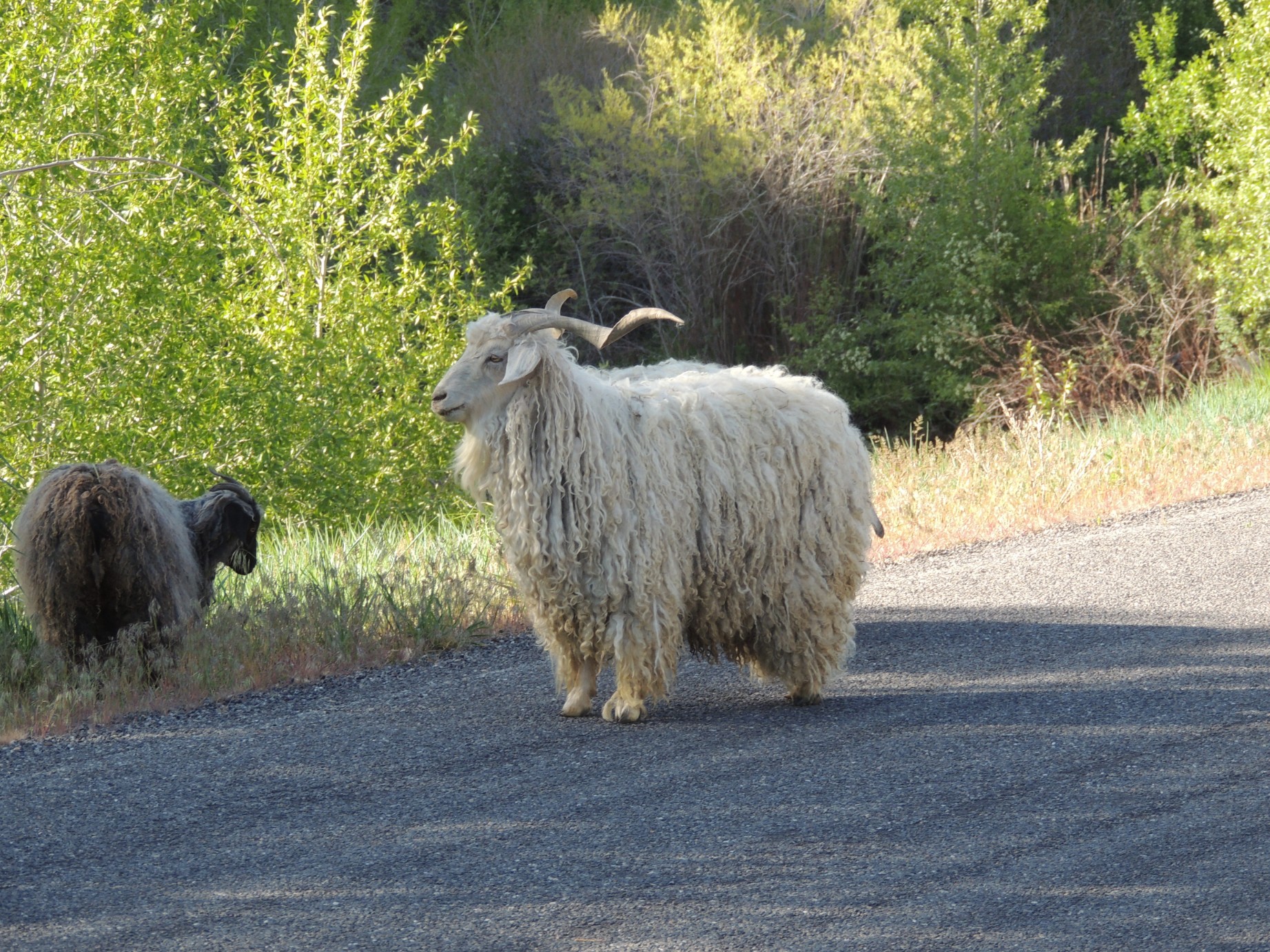
An Angora goat seen along the Nebo Loop Road (109/125)
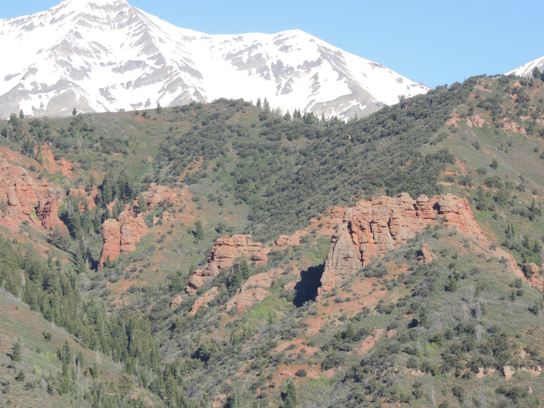
A view from along the Nebo Loop Road looking at Devil's Kitchen (110/125)
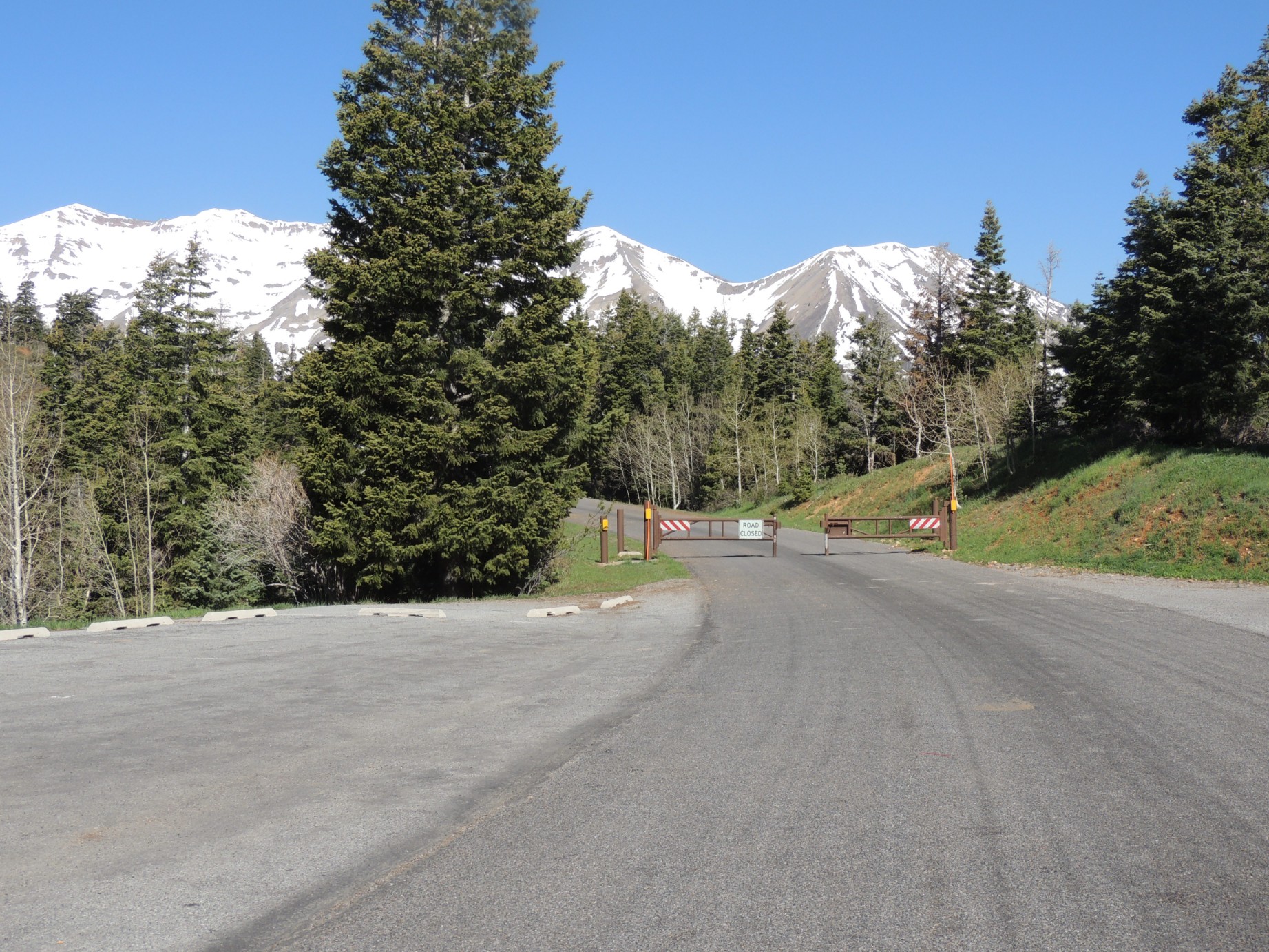
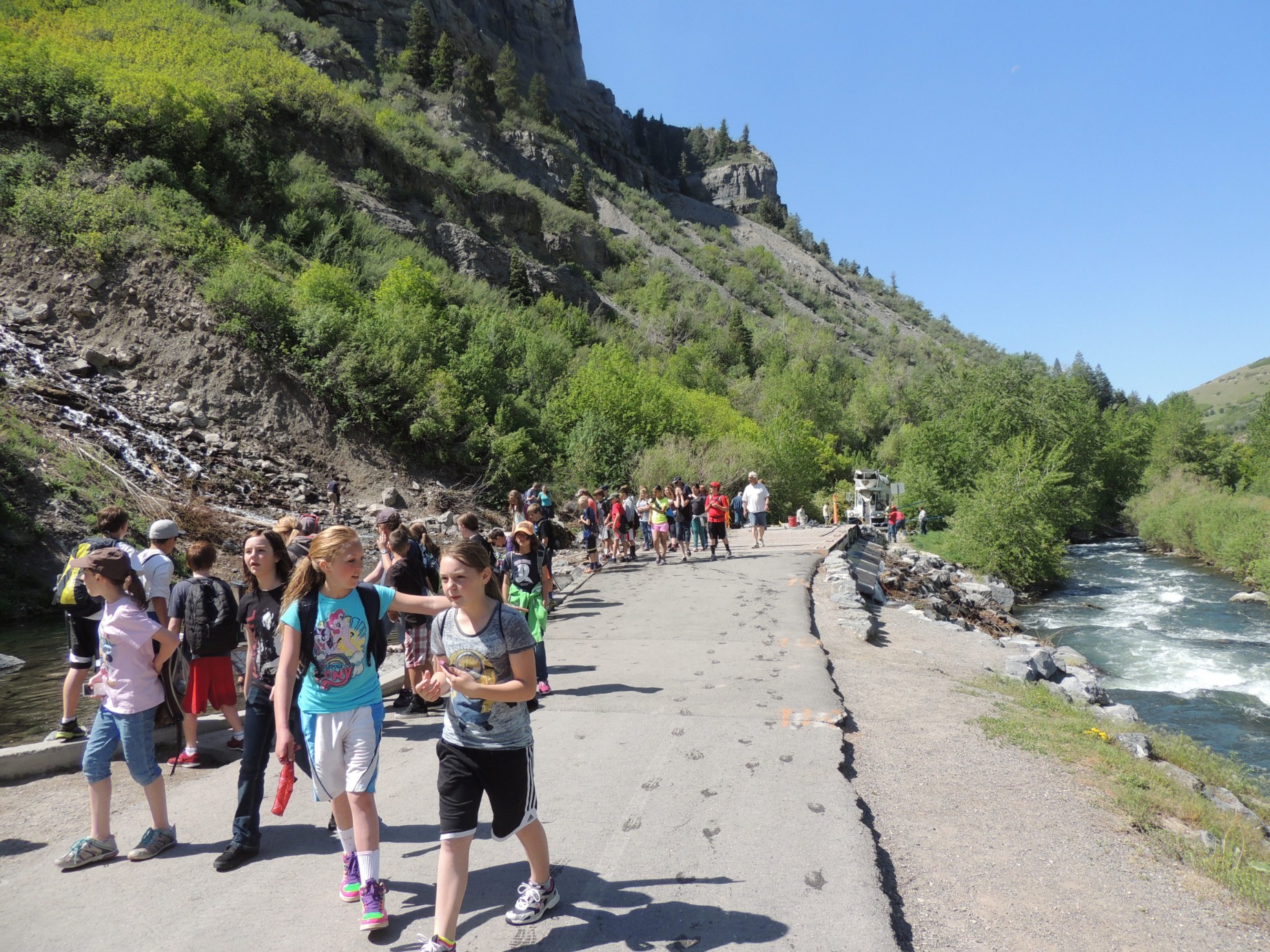
The gate to the rest of the Nebo Loop Road is closed (111/125)
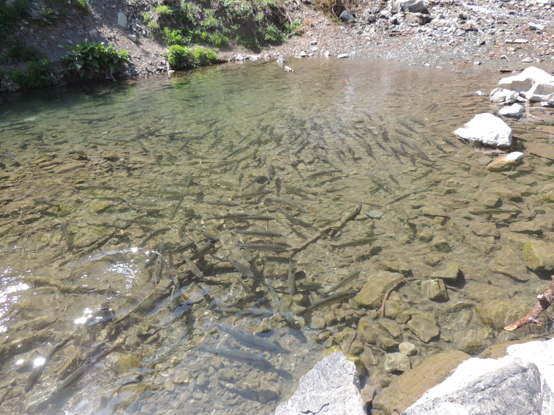
Fish in a river along the Nebo Loop Road (112/125)
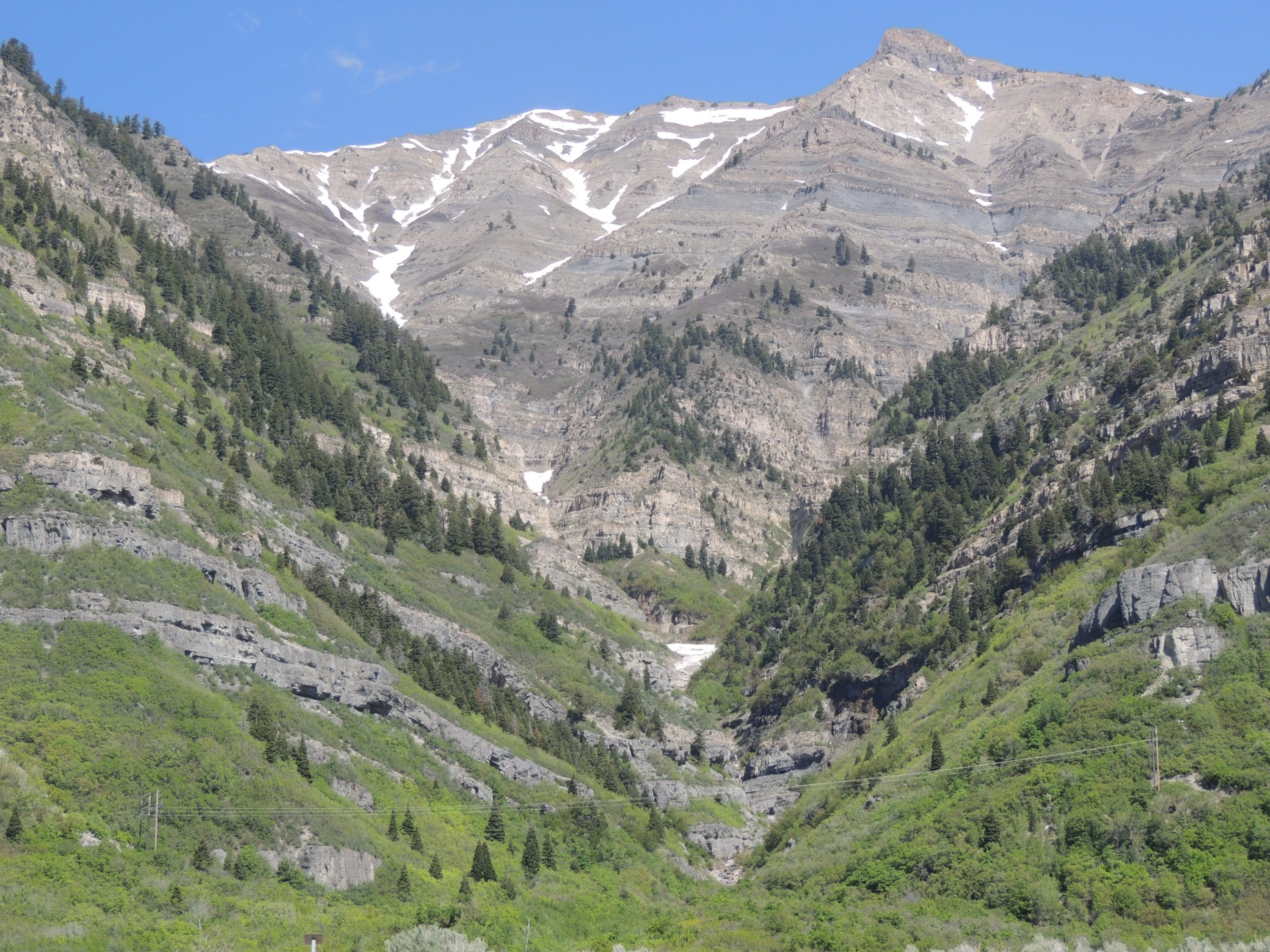
A view from along the Nebo Loop Road (113/125)
Bridal Veil Falls, near Provo Utah (114/125)
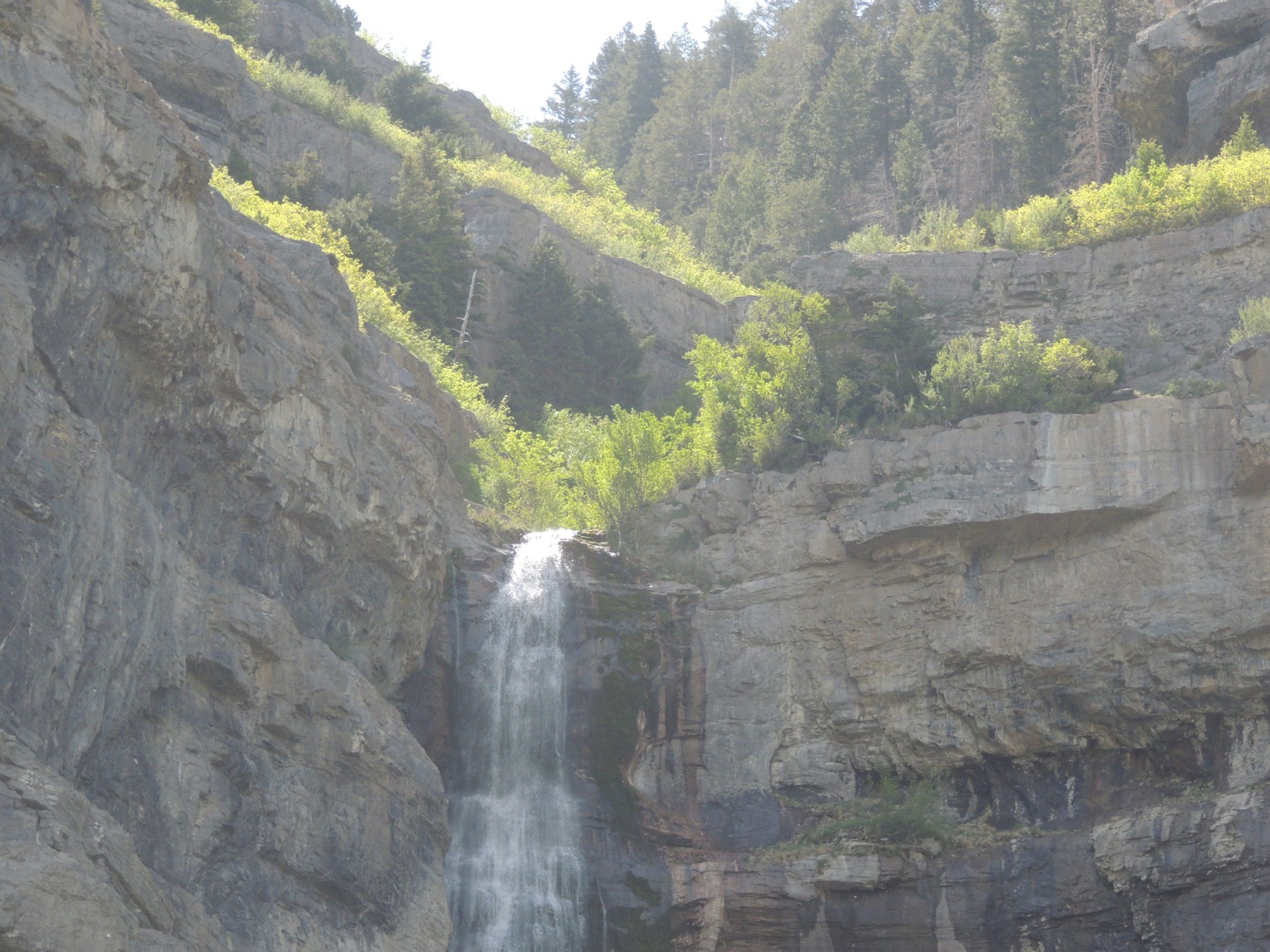
Bridal Veil Falls, near Provo Utah (115/125)
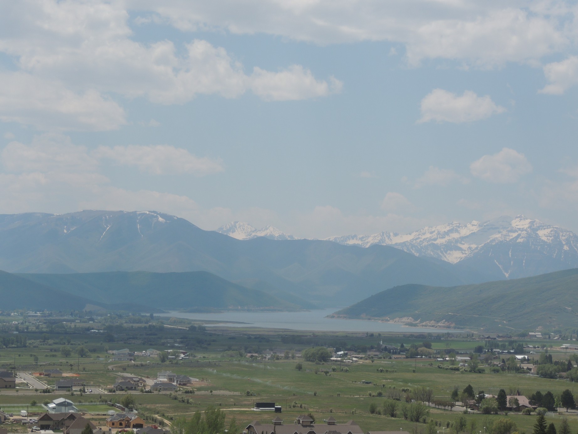
The Deer Creek Reservoir as seen from atop Memorial Hill, Midway Utah (116/125)
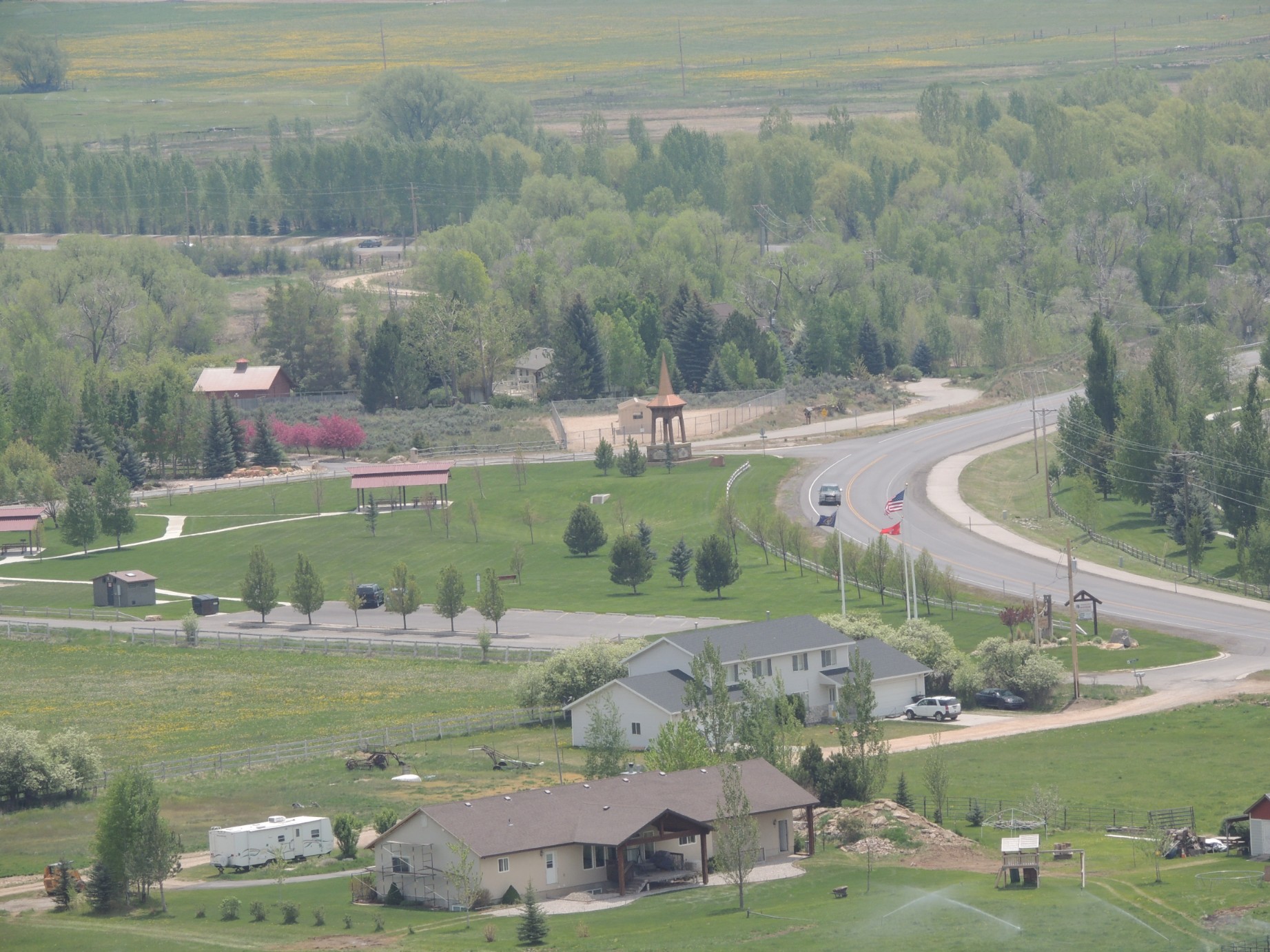
Midway City Park Utah seen from Memorial Hill (117/125)
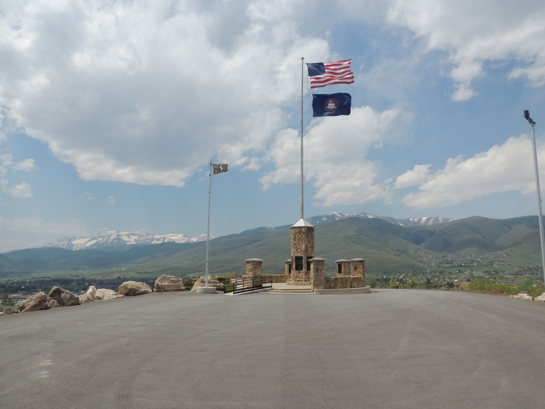
At the summit of Memorial Hill, Midway Utah (118/125)
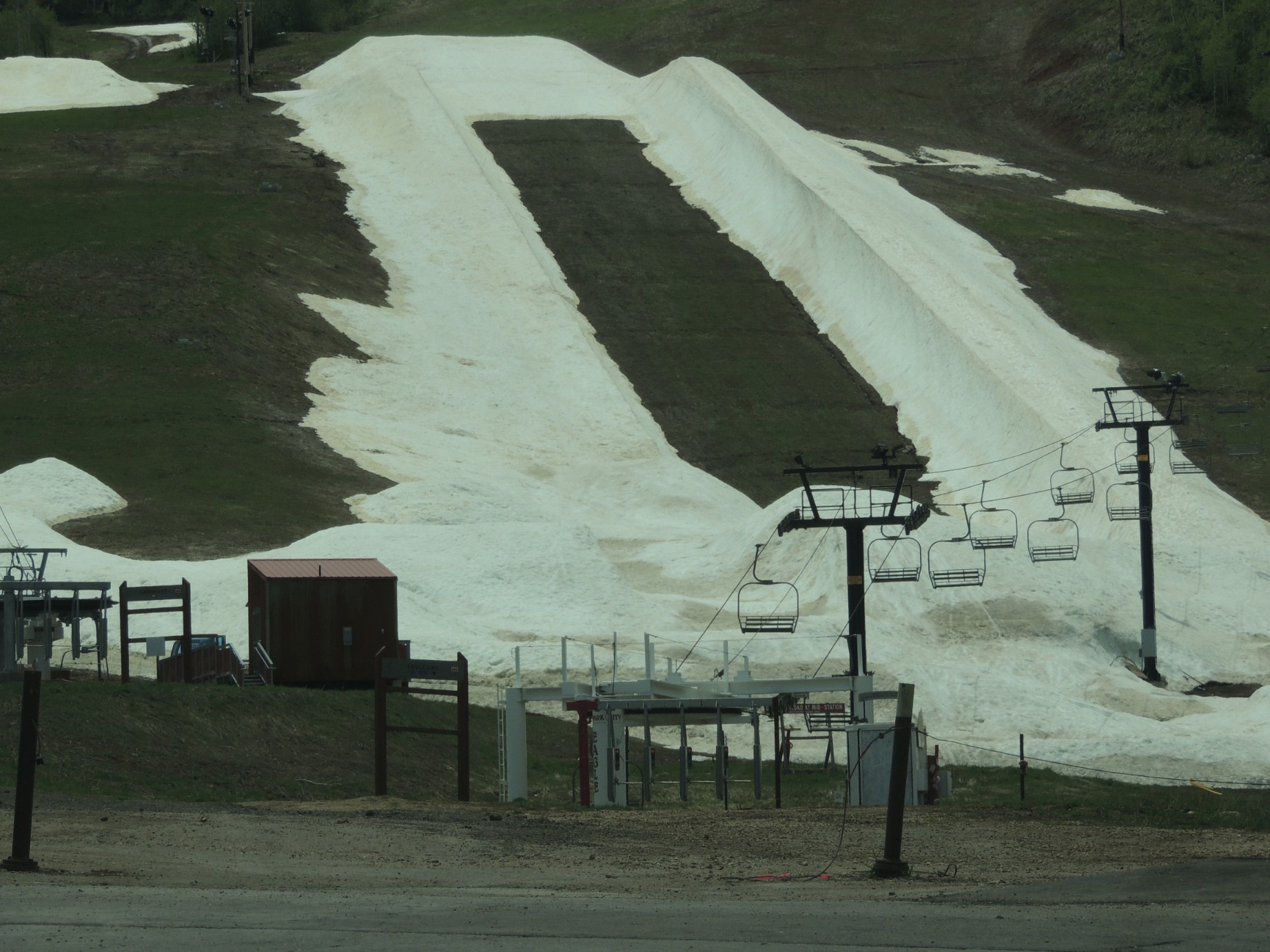
The ski slope in Park City Utah in the summertime (119/125)
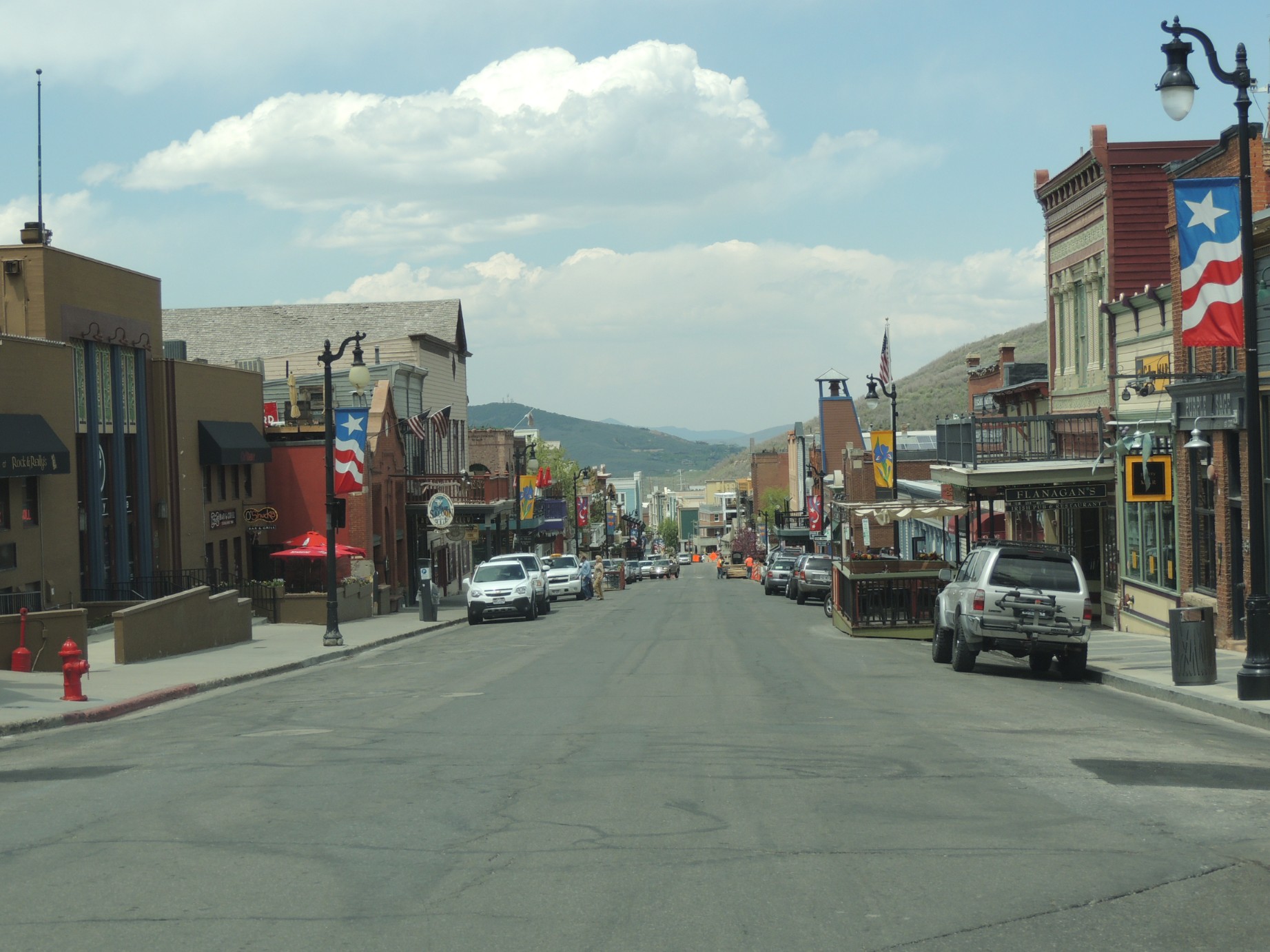
Park City Utah street scene (120/125)
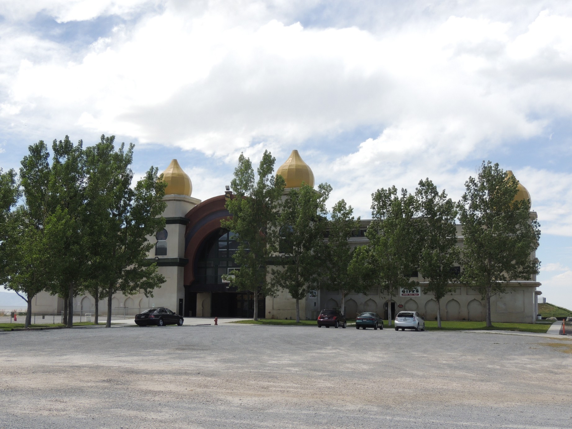
The historic Saltair outside Salt Lake City (121/125)
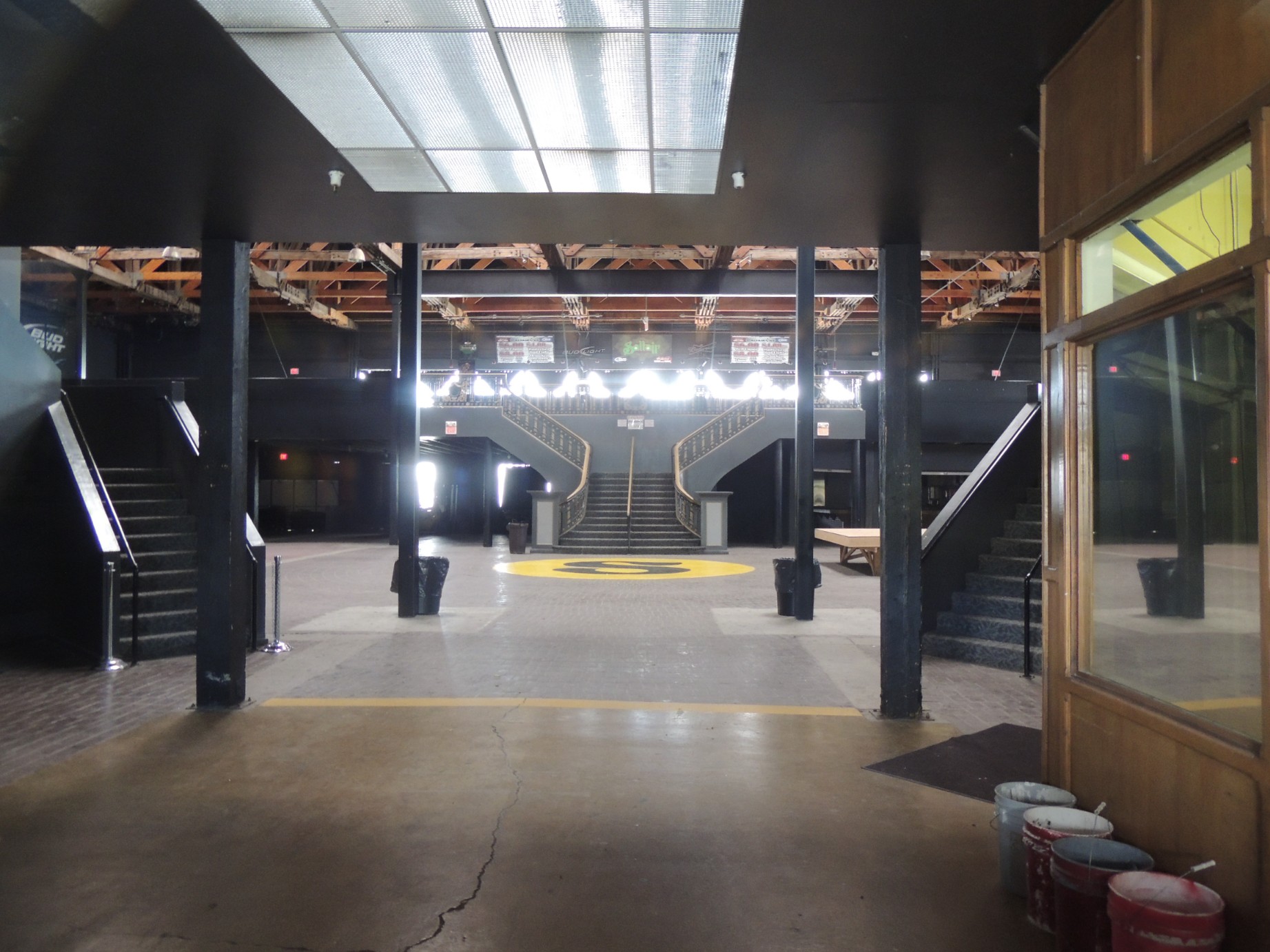
Inside the Saltair (122/125)
Inside the Saltair (123/125)
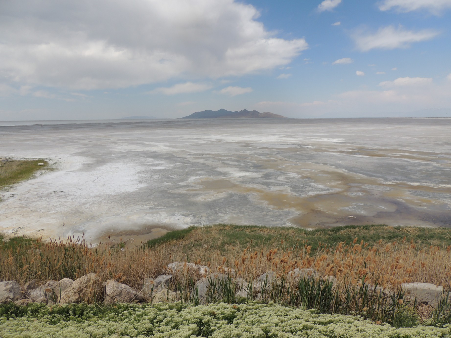
The dried up portion of the Great Salt Lake at the Saltair (124/125)
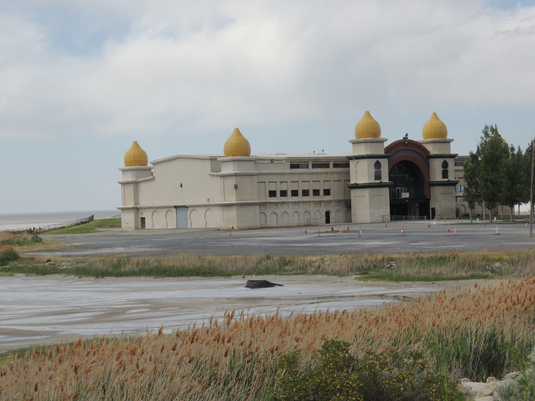
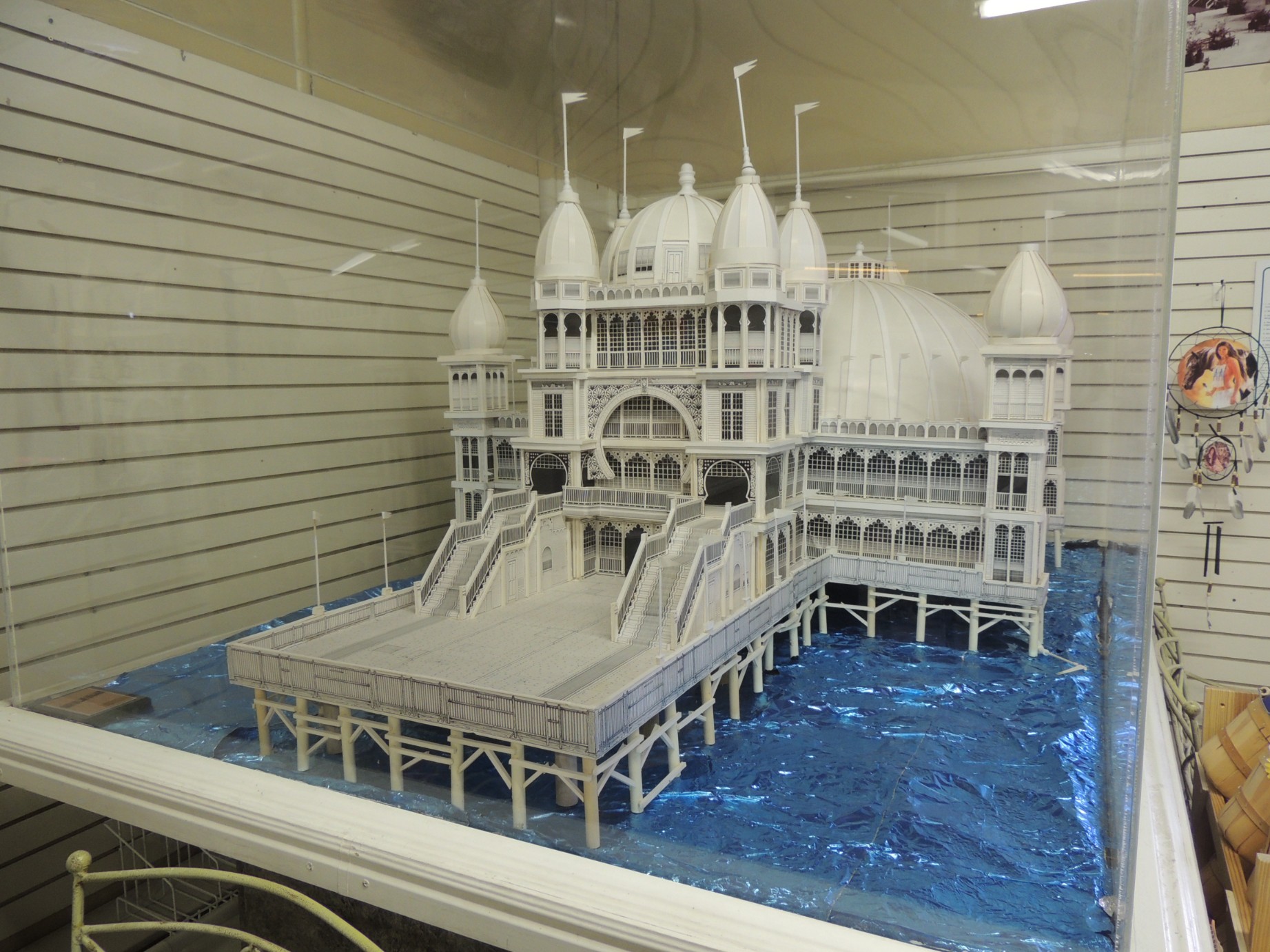
The Saltair (125/125)